
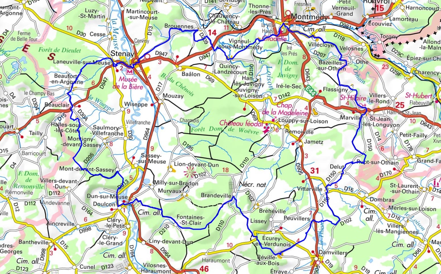
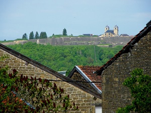
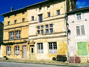
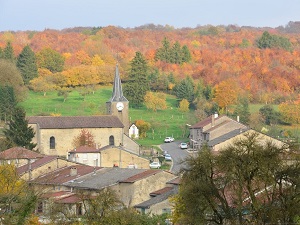
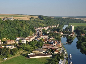
Starting from the citadel of Montmédy, a masterpiece of military architecture overlooking the plain, the trail first winds its way towards Marville, a Renaissance town with exceptional sculpted facades, before crossing the rolling, wooded landscapes around Damvillers. The scenery alternates between the dense forests of the Argonne and the tranquil banks of the Meuse at Dun-sur-Meuse. Along the way, the religious heritage is showcased with the church of Mont-Devant-Sassey, a true Romanesque gem perched above the valley. The terrain softens towards Stenay, famous for its beer museum and rich brewing history, before winding through the orchards and bucolic valleys of Vigneul-sous-Montmédy. This route offers an immersion in the authentic Meuse region, where the remains of fortifications stand alongside preserved biodiversity, particularly in the river's wetlands.
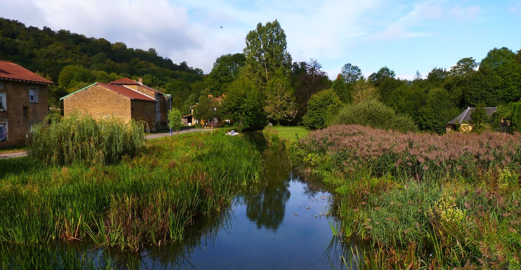
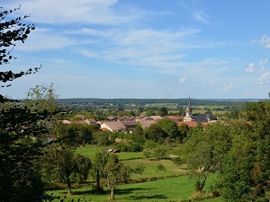
The Marches of the Meuse refers to the transitional zone centered on the Côtes de Meuse hills in the department of the same name. The landscape is characterized by a succession of steep limestone hills, offering sweeping views of the Woëvre plain to the east and the Meuse valley to the west. These dry slopes support a rare and remarkable flora, notably numerous orchid species, which thrive on the preserved calcareous grasslands. The fauna is rich, with large mammals such as roe deer and wild boar inhabiting the vast deciduous forests. Historically, this region was a strategic area for defense, as evidenced by the forts and remains associated with major conflicts. Traditional buildings, often constructed of limestone, complete this picture of a territory that is at once wild, unspoiled, and steeped in history.
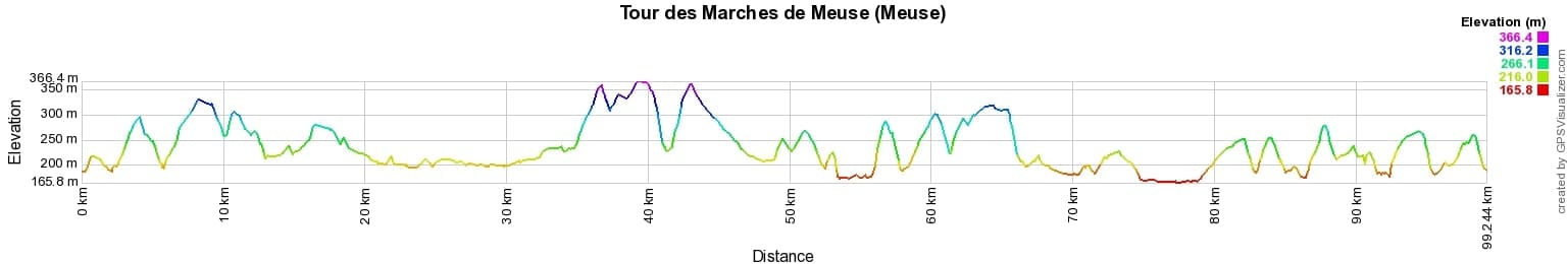
 Distance: 99km, Elevation maximum: 365m, Elevation minimum: 165m, Elevation gain uphill: 1820m
IGN Maps: Grandpré - 3011E. Montmédy - 3110E. Carignan - 3110O. Sivry-Sur-Meuse - 3111E. Stenay - 3111O. Écouviez - 3210O. Damvillers - 3211O.
Nearby paths:
![]() It is advisable to follow the beacons all along your hike and to bring the FFRandonnée topo-guide. You will also find information on MonGR.fr.
It is advisable to follow the beacons all along your hike and to bring the FFRandonnée topo-guide. You will also find information on MonGR.fr.
GR®, PR®, GRP® and the corresponding markings are trademarks of the French Federation of Hiking. They may not be reproduced without permission. The French Federation of Hiking, state-approved, includes organizations that maintain hiking routes. It publishes guides for these routes. With your donations, support the actions of the thousands of volunteer markers of the FFRandonnée.
GR-Infos.com is an editorial partner of MonGR.fr.
| Return |

Former holiday hotel with a garden along the Allier, L'Etoile Guest House is located in La Bastide-Puylaurent between Lozere, Ardeche, and the Cevennes in the mountains of Southern France. At the crossroads of GR®7, GR®70 Stevenson Path, GR®72, GR®700 Regordane Way, GR®470 Allier River springs and gorges, GRP® Cevenol, Ardechoise Mountains, Margeride. Numerous loop trails for hiking and one-day biking excursions. Ideal for a relaxing and hiking getaway.
Copyright©gr-infos.com (Authorization for private use only)
To help us maintain and improve GR-Infos.com, a contribution of 2€ is desired via Wero or bank transfer. Thank you!