
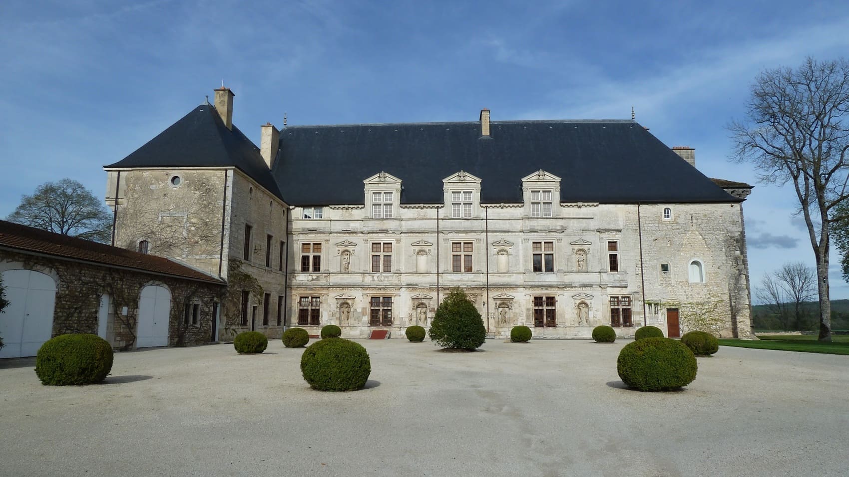
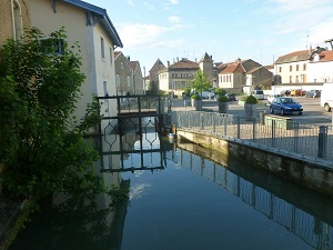
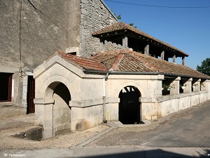
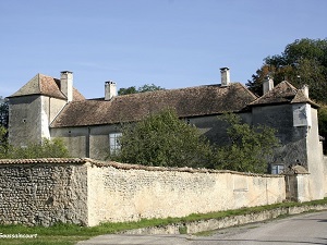
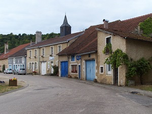
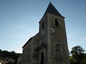
Starting in Vaucouleurs, the medieval town where Joan of Arc began her epic journey, the trail follows the Meuse Valley, passing the Renaissance Château de Montbras and charming villages like Goussaincourt. The highlight is Domrémy-la-Pucelle, where the saint's birthplace and the Bois-Chenu Basilica bear witness to a unique spiritual heritage. The landscapes alternate between vast limestone plateaus, dense forests, and wetlands where nature remains wild and unspoiled. Leaving the Vosges Mountains and returning to the Meuse Valley via the villages of Vouthon and Maxey-sur-Vaise, hikers discover authentic rural architecture built of dressed stone. The meandering river offers soothing panoramas, typical of the hidden Lorraine region. The return to Vaucouleurs via Épiez-sur-Meuse completes a route where French history is intimately intertwined with the serenity of the eastern landscapes.
Born around 1412 in Domrémy, in the borderlands of Lorraine, Joan of Arc was a young peasant girl whose destiny changed dramatically during the Hundred Years' War. Claiming to hear heavenly voices commanding her to "drive the English out of France," she managed to convince the Dauphin Charles to entrust her with an army. In 1429, her incredible determination led to the lifting of the siege of Orléans, a major turning point that restored hope to the kingdom. She then led Charles VII to his coronation in Reims, thus restoring the legitimacy of the French crown against British claims. Captured in Compiègne by the Burgundians, she was sold to the English and subjected to a biased ecclesiastical trial in Rouen. Condemned for heresy, she died at the stake on May 30, 1431, at the young age of 19, leaving behind an image of courage and piety. Her trial was overturned twenty-five years later, before she was canonized in 1920, becoming an icon of French history.
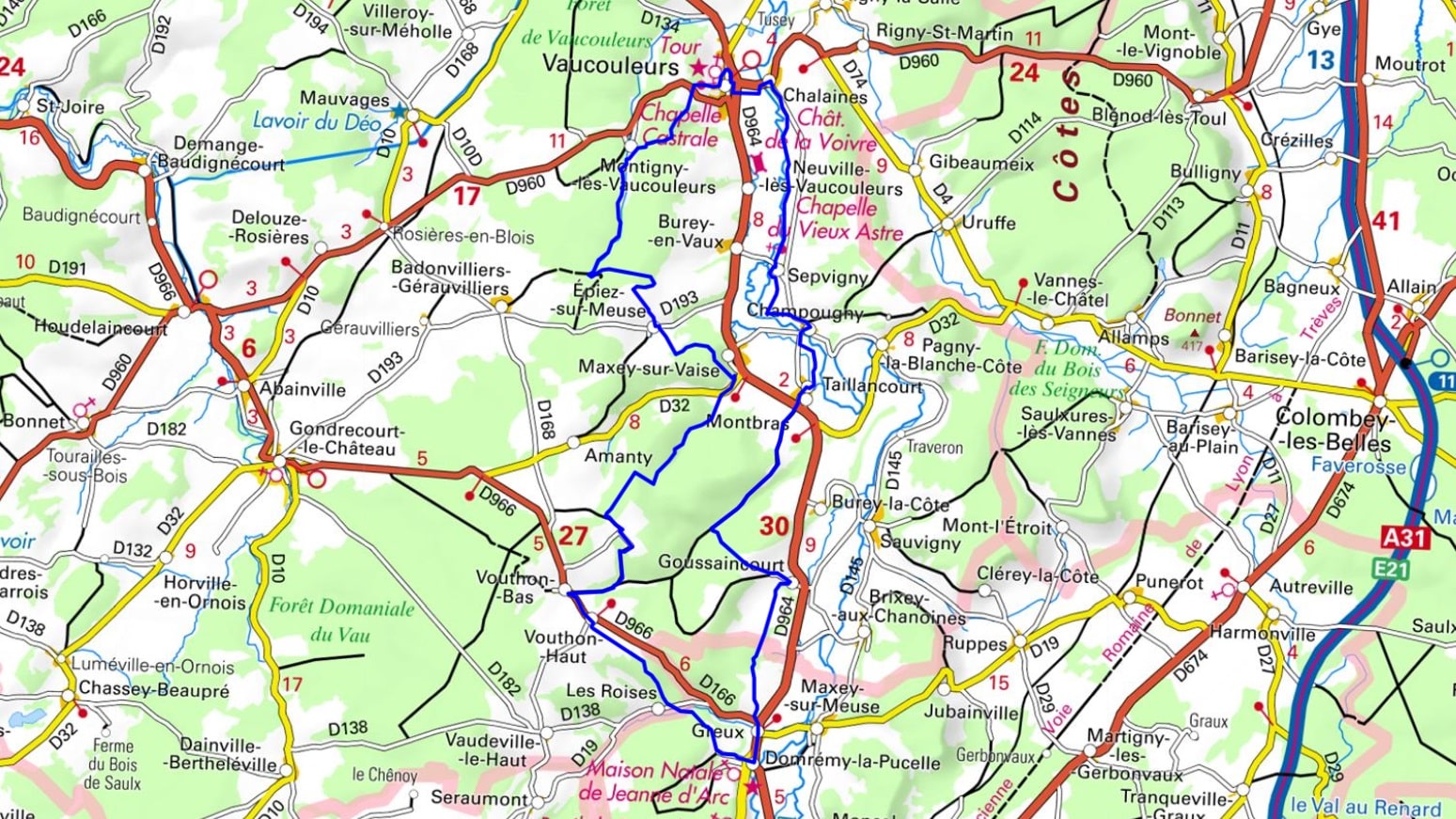
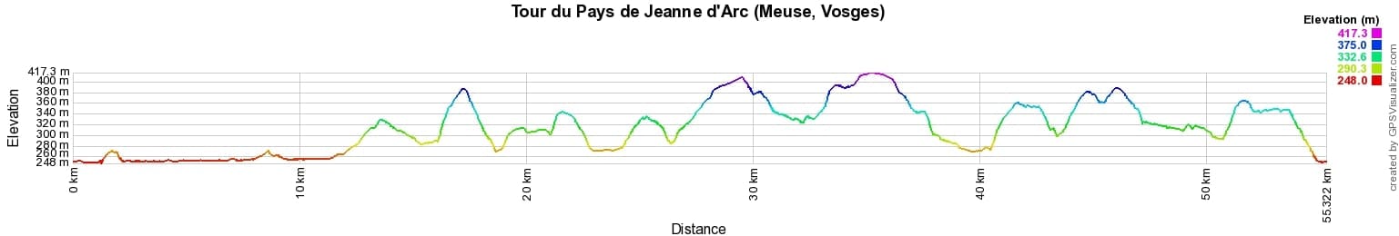
 Distance: 55km, Elevation maximum: 417m, Elevation minimum: 248m, Elevation gain uphill: 805m
IGN Maps: 3215SB - COMMERCY / VAUCOULEURS. 3216SB - GONDRECOURT-LE-CHÂTEAU / DOMRÉMY-LA-PUCELLE.
Nearby paths:
![]() It is advisable to follow the trail markers all along your hike and to bring the FFRandonnée topo-guide. You will also find information on MonGR.fr.
It is advisable to follow the trail markers all along your hike and to bring the FFRandonnée topo-guide. You will also find information on MonGR.fr.
GR®, PR®, GRP® and the corresponding markings are trademarks of the French Federation of Hiking. They may not be reproduced without permission. The French Federation of Hiking, state-approved, includes organizations that maintain hiking routes. It publishes guides for these routes. With your donations, support the actions of the thousands of volunteer markers of the FFRandonnée.
GR-Infos.com is an editorial partner of MonGR.fr.
| Return |

Former holiday hotel with a garden along the Allier, L'Etoile Guest House is located in La Bastide-Puylaurent between Lozere, Ardeche, and the Cevennes in the mountains of Southern France. At the crossroads of GR®7, GR®70 Stevenson Path, GR®72, GR®700 Regordane Way, GR®470 Allier River springs and gorges, GRP® Cevenol, Ardechoise Mountains, Margeride. Numerous loop trails for hiking and one-day biking excursions. Ideal for a relaxing and hiking getaway.
Copyright©gr-infos.com (Authorization for private use only)
To help us maintain and improve GR-Infos.com, a contribution of 2€ is desired via Wero or bank transfer. Thank you!