
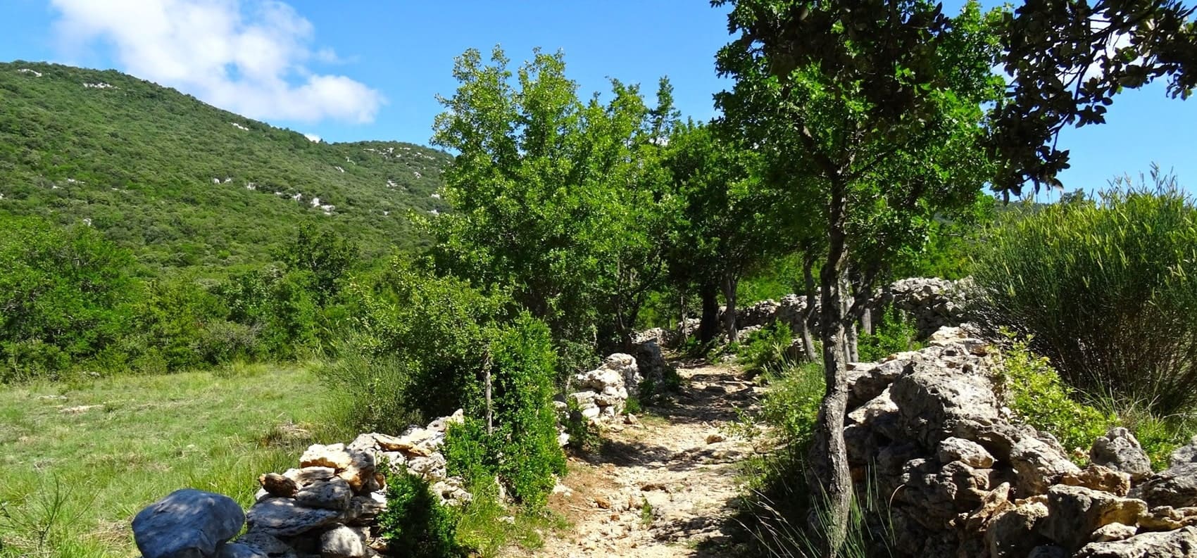
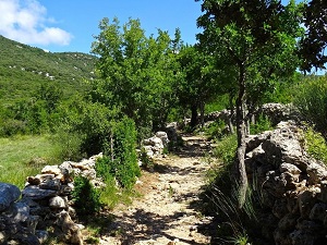
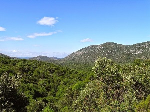
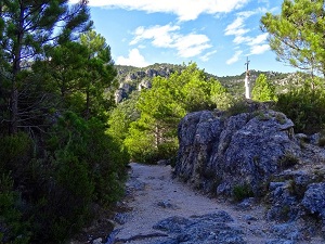
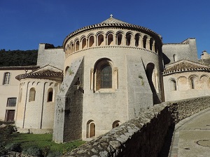
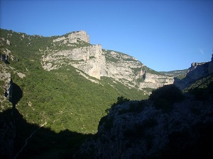
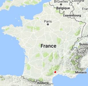
The GR®74 long-distance hiking trail traverses the magnificent landscapes of the southern Larzac plateau and the mountains of Saint-Guilhem-le-Désert. This trail, a natural balcony overlooking the Hérault River, offers a rugged geography of vertiginous canyons and arid plateaus dotted with lavognes (traditional stone sinkholes). Saint-Guilhem-le-Désert, a jewel of Romanesque art and a major stop on the Via Tolosana pilgrimage route to Santiago de Compostela, bears witness to the history of the route in its stones: from circular sheepfolds testifying to centuries of pastoralism to the remains of Gellone Abbey, founded by Guilhem, a companion-in-arms of Charlemagne. The landscapes change dramatically, transitioning from the steppes of the limestone plateau to valleys wooded with Salzmann pines, before reaching the wine-growing plains.
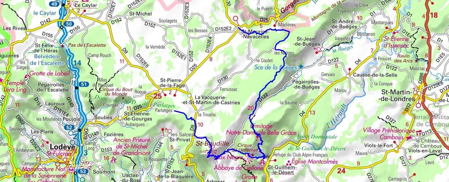
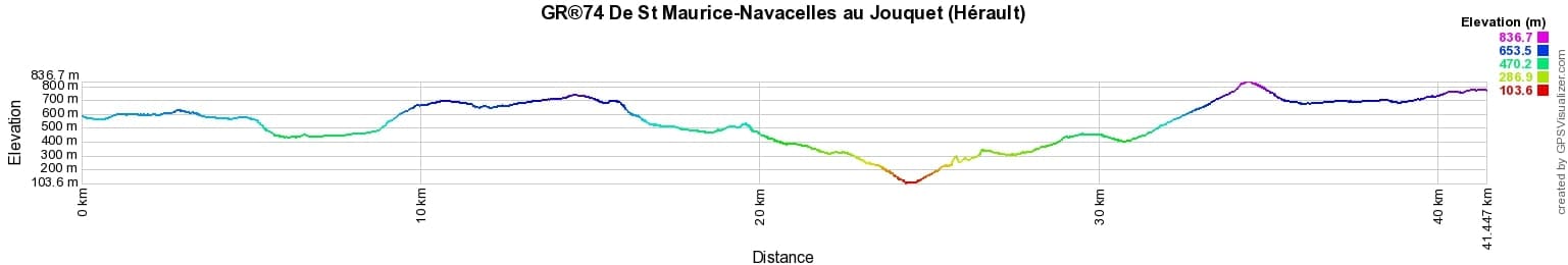
 Distance: 41km, Elevation maximum: 835m, Elevation minimum: 111m, Elevation gain uphill: 1501m
IGN Maps: Saint Guilhem le Desert - 2642ET. Lodeve Bedarieux Lac de Salagou - 2643OT.
Nearby paths:
![]() It is advisable to follow the beacons all along your hike and to bring the FFRandonnee topo-guide. You will also find information on MonGR.fr.
It is advisable to follow the beacons all along your hike and to bring the FFRandonnee topo-guide. You will also find information on MonGR.fr.
GR®, PR®, GRP®, and the corresponding signs of markings (white/red, yellow and yellow/red) are trademarks of the French Federation of Hiking. They may not be reproduced without permission. The French Federation of Hiking, state-approved, includes organizations that create and maintain hiking routes on GR®, PR® and GRP®. It publishes guides for these topo hiking routes. With your donations, support the actions of the thousands of volunteer markers of the FFRandonnee.
GR-Infos.com is an editorial partner of MonGR.fr.
| Return |

Former holiday hotel with a garden along the Allier, L'Etoile Guest House is located in La Bastide-Puylaurent between Lozere, Ardeche, and the Cevennes in the mountains of Southern France. At the crossroads of GR®7, GR®70 Stevenson Path, GR®72, GR®700 Regordane Way, GR®470 Allier River springs and gorges, GRP® Cevenol, Ardechoise Mountains, Margeride. Numerous loop trails for hiking and one-day biking excursions. Ideal for a relaxing and hiking getaway.
Copyright©gr-infos.com (Authorization for private use only)
To help us maintain and improve GR-Infos.com, a contribution of 2€ is desired via Wero or bank transfer. Thank you!