
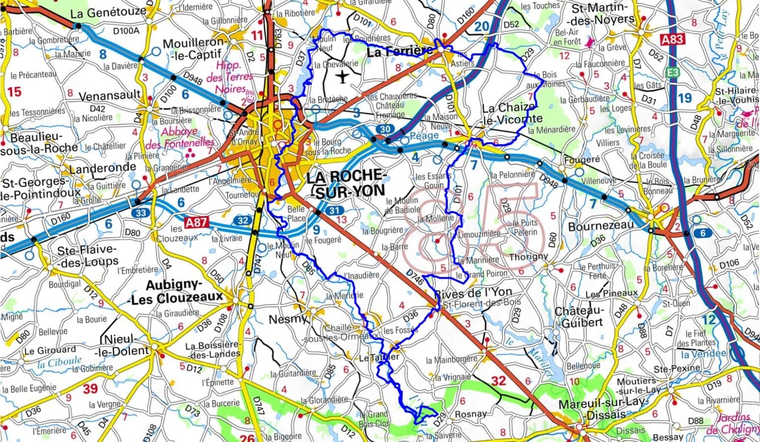
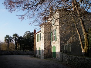
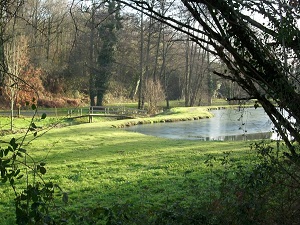
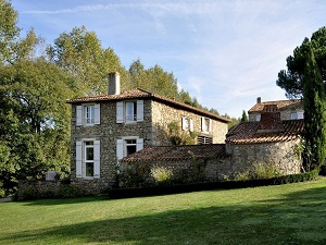
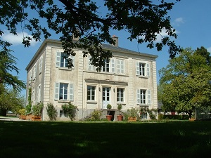
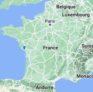
Starting in La Roche-sur-Yon, a Napoleonic city with a geometric layout, the Otter Trail winds its way into the Yon Valley, the true green lung of the Vendée region. This route meanders through unspoiled bocage landscapes, linking La Ferrière and La Chaize-le-Vicomte, where the Romanesque church of Saint-Nicolas bears witness to a rich medieval past. Descending towards Le Tablier, the landscape becomes wilder, revealing the granite chaos of Piquet, a picturesque site where water bubbles between the rocks. The trail owes its name to the elusive European otter, which inhabits the shaded banks of the Rives-de-l'Yon, amidst oak and ash trees. Industrial heritage is also present, with old watermills dotting the route, recalling the milling activity of yesteryear.
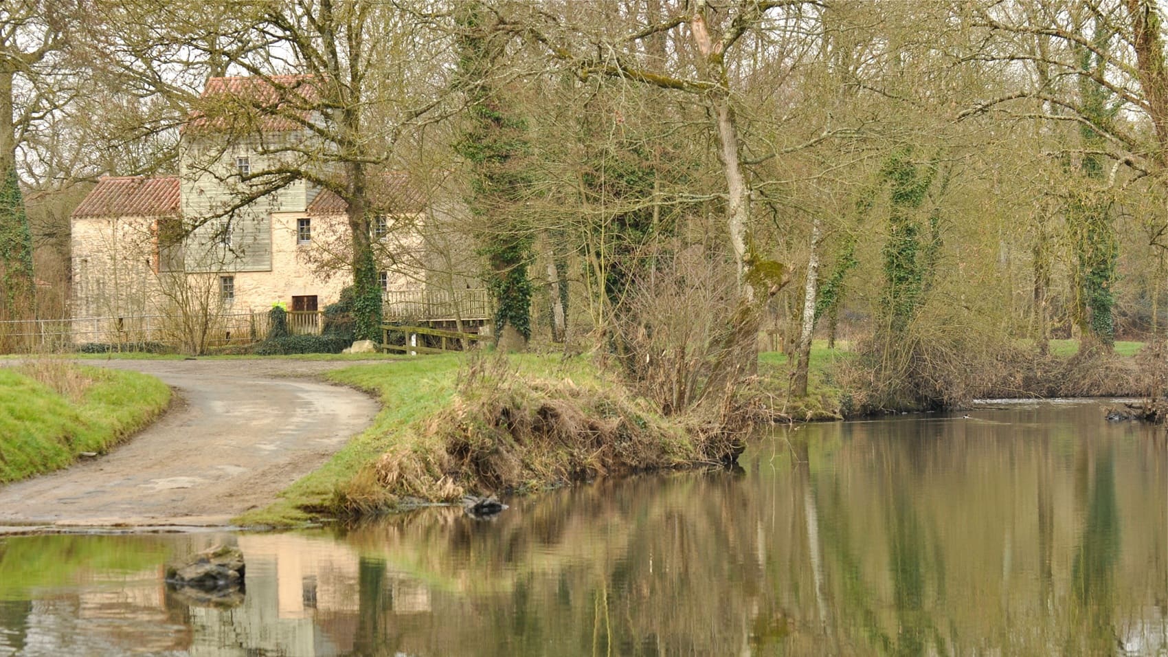
The Yon Valley, a true green lung nestled in the heart of the Vendée region, is distinguished by its landscapes of granite boulders and winding rivers. Near La Roche-sur-Yon, an imperial city founded by Napoleon, nature reclaims its territory in wild sites like the Chaos de Piquet, where water swirls between enormous polished rocks. The historical heritage here is fascinating, marked by age-old legends and industrial remains such as the old watermills that dot the riverbanks. Nearby, the Moulin de Rambourg bears witness to ancestral know-how. This region boasts preserved biodiversity, sheltering numerous bird species and flora typical of the Vendée wetlands. The European otter is particularly prevalent in the Marais Poitevin (or Green Venice) and coastal wetlands, where it finds the rivers and canals necessary for its habitat. Its presence is an excellent indicator of the good water quality of the Vendée, where conservation efforts have allowed for its reintroduction and prosperity.
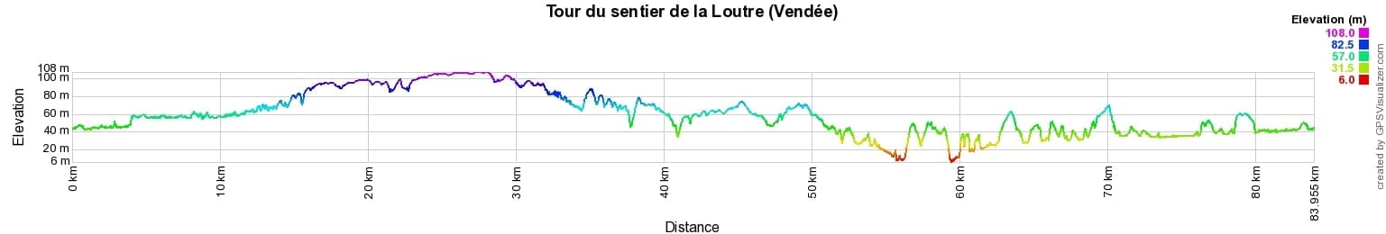
 Distance: 84km, Elevation maximum: 108m, Elevation minimum: 6m, Elevation gain uphill: 489m
IGN Maps: 1227SB - AUBIGNY-LES-CLOUZEAUX MOUTIERS-LES-MAUXFAITS. 1326SB - LA ROCHE-SUR-YON BOURNEZEAU. 1327SB - LUÇON SAINT-MICHEL-EN-L'HERM.
Nearby paths:
![]() It is advisable to follow the beacons all along your hike and to bring the FFRandonnée topo-guide. You will also find information on MonGR.fr.
It is advisable to follow the beacons all along your hike and to bring the FFRandonnée topo-guide. You will also find information on MonGR.fr.
GR®, PR®, GRP® and the corresponding markings are trademarks of the French Federation of Hiking. They may not be reproduced without permission. The French Federation of Hiking, state-approved, includes organizations that maintain hiking routes. It publishes guides for these routes. With your donations, support the actions of the thousands of volunteer markers of the FFRandonnée.
GR-Infos.com is an editorial partner of MonGR.fr.
| Return |

Former holiday hotel with a garden along the Allier, L'Etoile Guest House is located in La Bastide-Puylaurent between Lozere, Ardeche, and the Cevennes in the mountains of Southern France. At the crossroads of GR®7, GR®70 Stevenson Path, GR®72, GR®700 Regordane Way, GR®470 Allier River springs and gorges, GRP® Cevenol, Ardechoise Mountains, Margeride. Numerous loop trails for hiking and one-day biking excursions. Ideal for a relaxing and hiking getaway.
Copyright©gr-infos.com (Authorization for private use only)
To help us maintain and improve GR-Infos.com, a contribution of 2€ is desired via Wero or bank transfer. Thank you!