
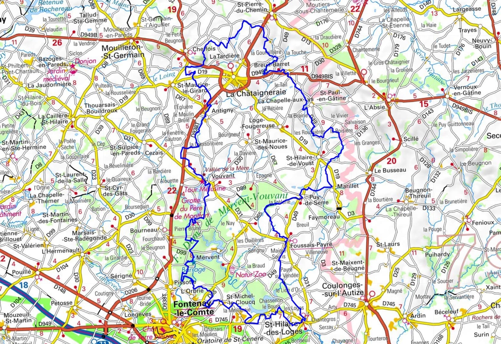
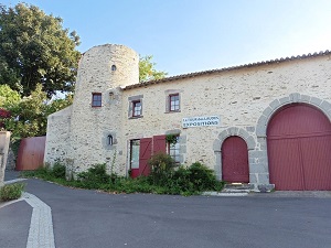
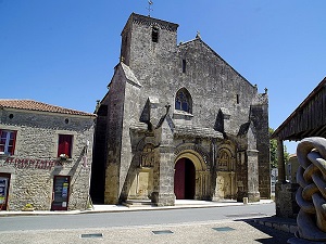
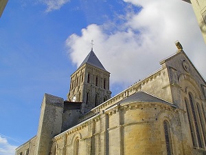
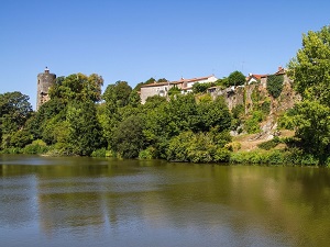
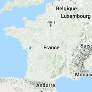
Starting in Antigny, the trail heads towards Cheffois and its spectacular quarries, then climbs to the heights of Saint-Pierre-du-Chemin, offering panoramic views of the hills of Lower Poitou. The route then crosses the cool valleys of Breuil-Barret and Saint-Hilaire-de-Voust, where the small dry-stone buildings bear witness to rural life of yesteryear. In Foussais-Payré, Romanesque art shines brightly on the sculpted portal of its church. The trail then winds its way towards Saint-Hilaire-des-Loges before plunging into the Mervent-Vouvant forest, a true green lung of the Vendée region. The highlight of this hike is undoubtedly Vouvant, a medieval town nestled in a bend of the Mère River and listed among the "Most Beautiful Villages of France." Here, the legend of the fairy Melusine permeates every alleyway, from the tower that bears her name to the ramparts that overlook the forest landscape.
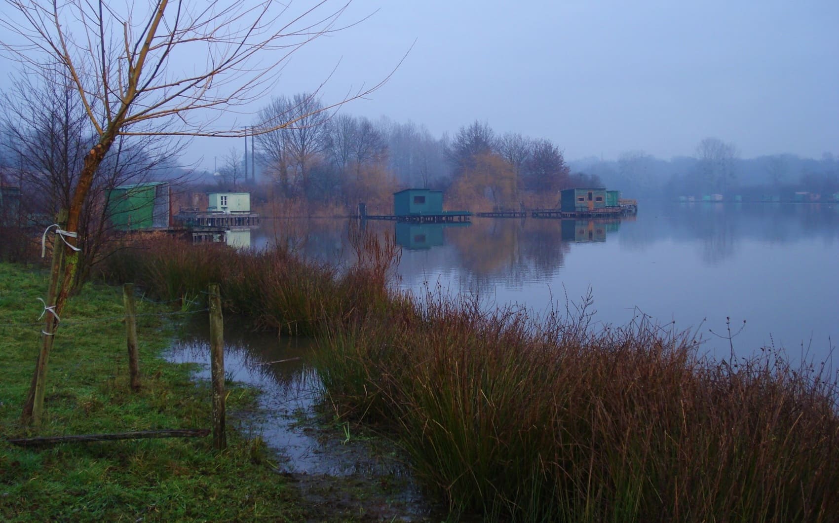
The Land of Mélusine, nestled in the South Vendée, is a land of legends where history intertwines with fantasy around the figure of the fairy builder. According to myth, it was she who, with a handful of stones and a sip of wine, erected the colossal fortresses of Vouvant and Mervent in a single night. This exceptional medieval heritage can be discovered while wandering the narrow streets of Vouvant, listed among the most beautiful villages in France, with its famous Mélusine Tower overlooking the Mère River. Nature reigns supreme here, thanks to the Mervent-Vouvant forest, a veritable green lung of 5,000 hectares. This rugged landscape, rare in the Vendée, offers breathtaking panoramas of reservoirs and winding rivers. Between the ancient oak groves and granite cliffs, visitors journey through centuries of chivalric tales and rural traditions.
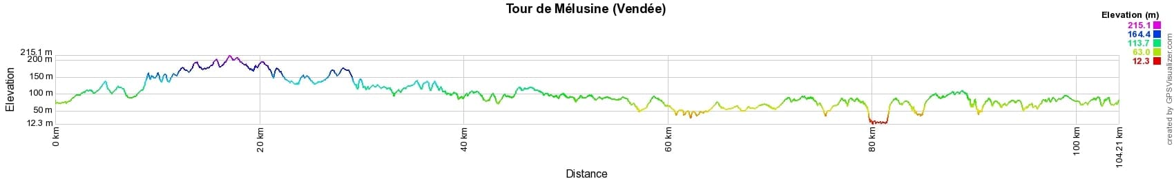
 Distance: 104km, Elevation maximum: 215m, Elevation minimum: 12m, Elevation gain uphill: 1234m
IGN Maps: 1426SB - CHANTONNAY / POUZAUGES / LA CHÂTAIGNERAIE. 1427SB - FONTENAY-LE-COMTE / SAINTE-HERMINE. 1526SB - MONCOUTANT / LA CHAPELLE ST-LAURENT. 1527SB - COULONGES-SUR-L'AUTIZE / SECONDIGNY.
Nearby paths:
![]() It is advisable to follow the beacons all along your hike and to bring the FFRandonnée topo-guide. You will also find information on MonGR.fr.
It is advisable to follow the beacons all along your hike and to bring the FFRandonnée topo-guide. You will also find information on MonGR.fr.
GR®, PR®, GRP® and the corresponding markings are trademarks of the French Federation of Hiking. They may not be reproduced without permission. The French Federation of Hiking, state-approved, includes organizations that maintain hiking routes. It publishes guides for these routes. With your donations, support the actions of the thousands of volunteer markers of the FFRandonnée.
GR-Infos.com is an editorial partner of MonGR.fr.
| Return |

Former holiday hotel with a garden along the Allier, L'Etoile Guest House is located in La Bastide-Puylaurent between Lozere, Ardeche, and the Cevennes in the mountains of Southern France. At the crossroads of GR®7, GR®70 Stevenson Path, GR®72, GR®700 Regordane Way, GR®470 Allier River springs and gorges, GRP® Cevenol, Ardechoise Mountains, Margeride. Numerous loop trails for hiking and one-day biking excursions. Ideal for a relaxing and hiking getaway.
Copyright©gr-infos.com (Authorization for private use only)
To help us maintain and improve GR-Infos.com, a contribution of 2€ is desired via Wero or bank transfer. Thank you!