
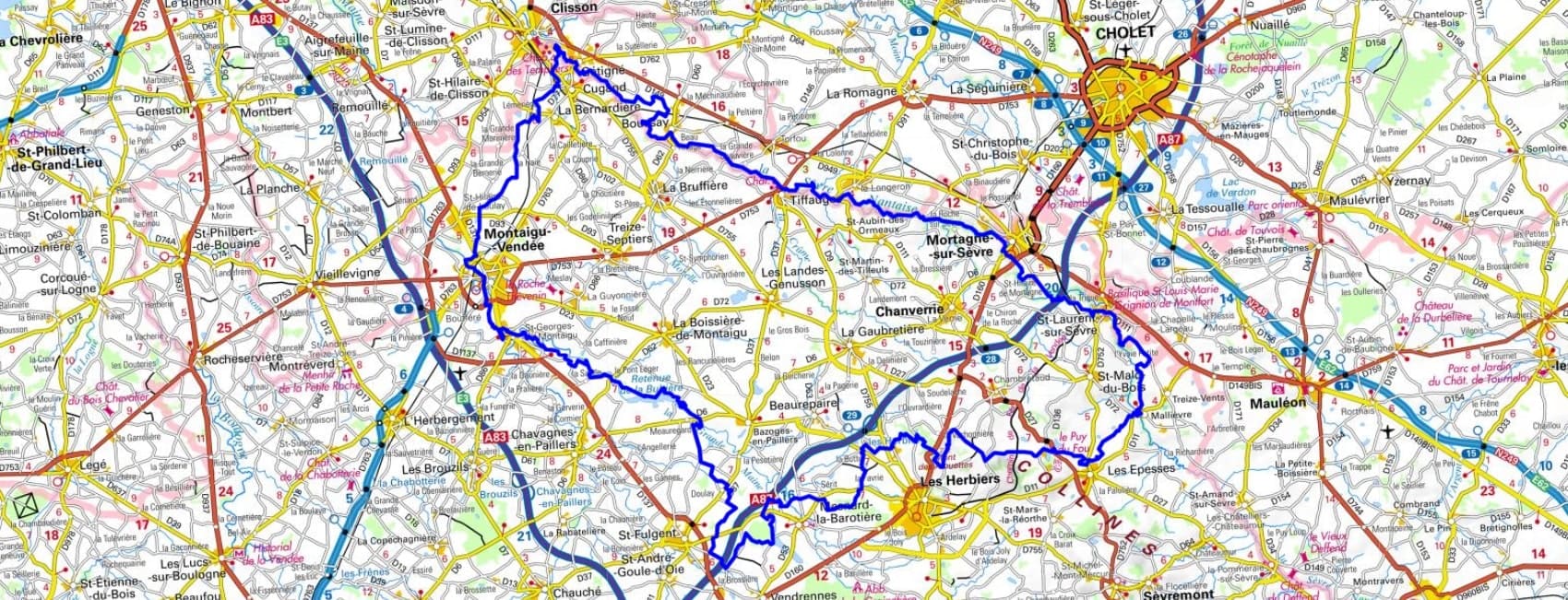
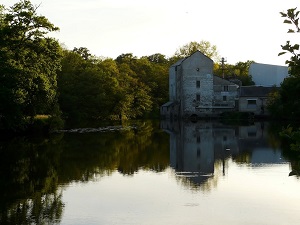
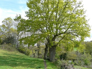
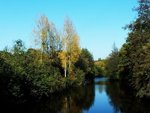
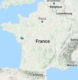
Starting in Boussay, the trail follows the meanders of the Sèvre Nantaise river, leading to the medieval fortress of Tiffauges, famous for the legend of Bluebeard. Passing through Mortagne-sur-Sèvre and the spiritual town of Saint-Laurent-sur-Sèvre, hikers discover an exceptional architectural heritage, from imposing churches to old watermills. The terrain becomes more hilly towards Mallièvre, a former weavers' village, before reaching the rolling landscapes of Les Herbiers and Mont des Alouettes. Here, nature consists of sunken paths bordered by ancient hedgerows, typical of the bocage landscape, offering welcome shade towards Saint-Fulgent and Montaigu-Vendée. The journey takes on an Italianate character upon arriving in Clisson, a romantic town of red brick and umbrella pines, before concluding in the parks of Gétigné.
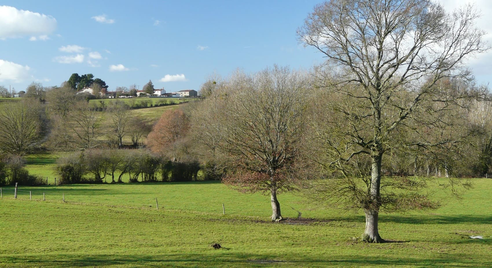
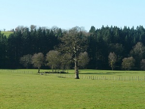
The region is formed by the valleys of the Sèvre Nantaise and Maine rivers. The landscape is hilly and green, with many fields, forests, and villages. The region is rich in biodiversity. The flora consists of oaks, beeches, chestnuts, pines, and many other trees and shrubs. The fauna of the Sèvre and Maine region is also rich and varied. The main animal species are deer, wild boar, roe deer, fox, rabbit, pheasant, pigeon, otter, weasel, marten, lizard, frog, beaver, European mink, and the greater horseshoe bat. There are also many birds, including swans, ducks, herons, and storks.
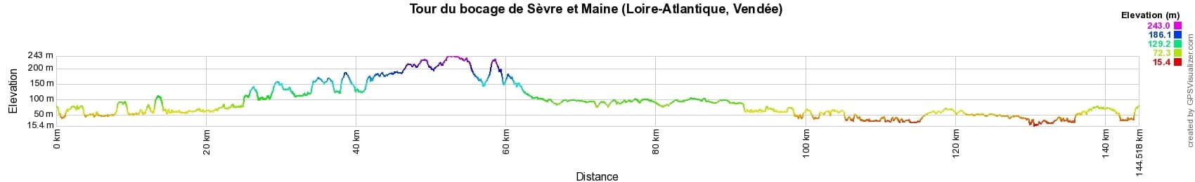
 Distance: 144km, Maximum elevation: 241m, Minimum elevation: 19m, Total ascent: 1182m
IGN Maps: 1324SB - CLISSON / LA BRUFFIERE. 1325SB - MONTAIGU / SAINT-FULGENT. 1424SB - CHOLET / MORTAGNE-SUR-SEVRE. 1425SB - LES HERBIERS / MAULEON.
Nearby paths:
![]() It is advisable to follow the beacons all along your hike and to bring the FFRandonnée topo-guide. You will also find information on MonGR.fr.
It is advisable to follow the beacons all along your hike and to bring the FFRandonnée topo-guide. You will also find information on MonGR.fr.
GR®, PR®, GRP® and the corresponding markings are trademarks of the French Federation of Hiking. They may not be reproduced without permission. The French Federation of Hiking, state-approved, includes organizations that maintain hiking routes. It publishes guides for these routes. With your donations, support the actions of the thousands of volunteer markers of the FFRandonnée.
GR-Infos.com is an editorial partner of MonGR.fr.
| Return |

Former holiday hotel with a garden along the Allier, L'Etoile Guest House is located in La Bastide-Puylaurent between Lozere, Ardeche, and the Cevennes in the mountains of Southern France. At the crossroads of GR®7, GR®70 Stevenson Path, GR®72, GR®700 Regordane Way, GR®470 Allier River springs and gorges, GRP® Cevenol, Ardechoise Mountains, Margeride. Numerous loop trails for hiking and one-day biking excursions. Ideal for a relaxing and hiking getaway.
Copyright©gr-infos.com (Authorization for private use only)
To help us maintain and improve GR-Infos.com, a contribution of 2€ is desired via Wero or bank transfer. Thank you!