
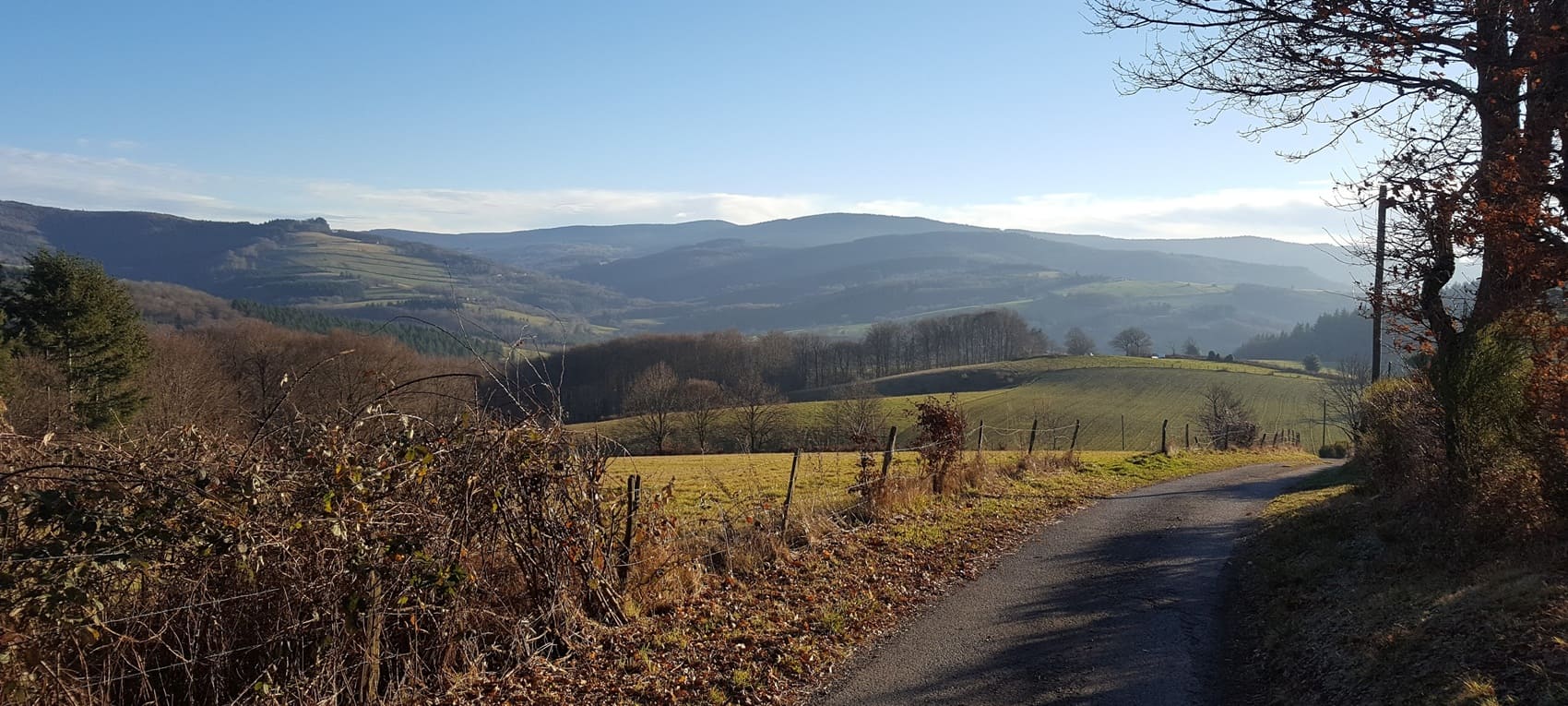
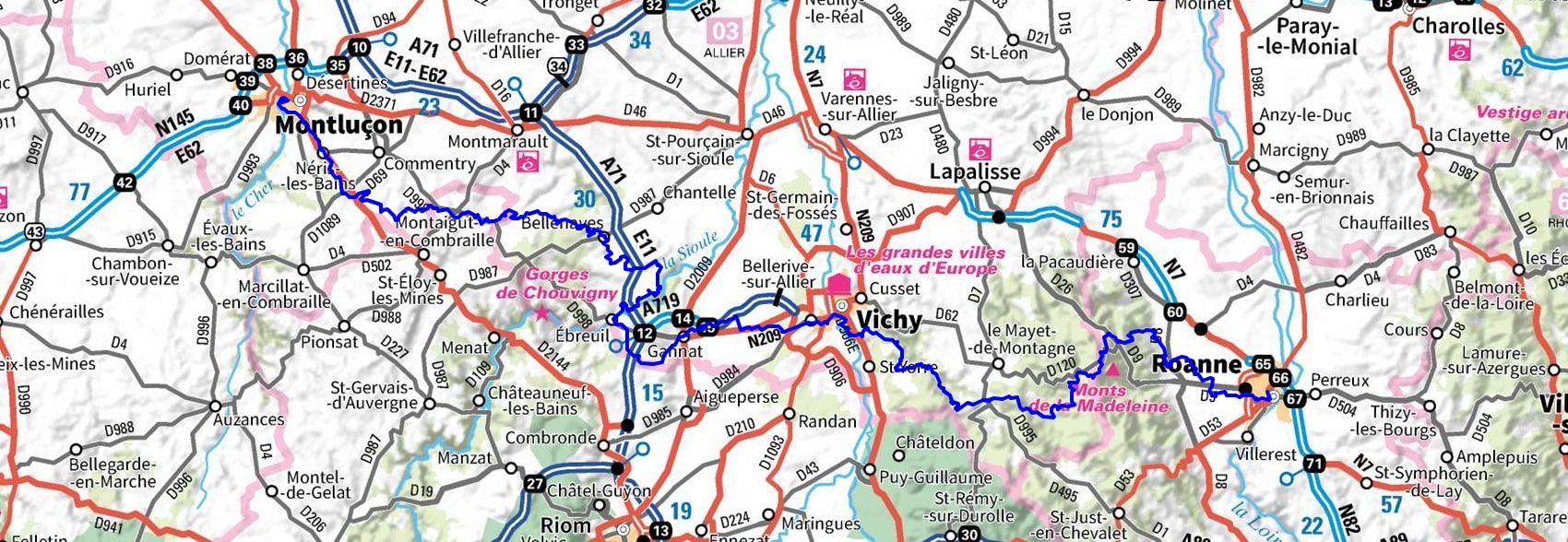
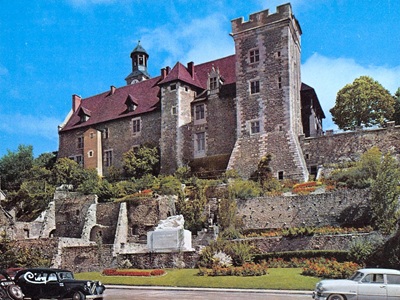
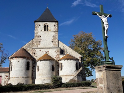
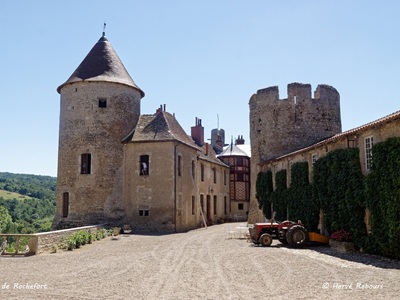
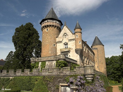
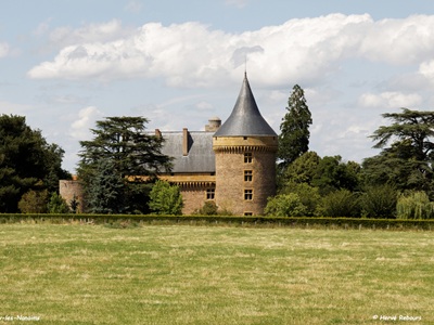
The GR®342 long-distance hiking trail forges a historical and geographical link between the Bourbonnais and Roannais regions. The route begins in the medieval city of the Dukes of Bourbon, winding through a rich architectural heritage dotted with fortresses and Romanesque churches. The trail meanders across rolling hedged fields and agricultural plateaus—typical of the Bourbonnais Sologne—before climbing toward the more rugged, wooded landscapes of the Montagne Bourbonnaise. The trail boasts pristine biodiversity: ancient oak forests, wild rivers, and lush pastures where the famous Charolais cattle roam. As it approaches the Loire River, the terrain becomes steeper, offering breathtaking panoramas of the Roanne plain and the Forez mountains.
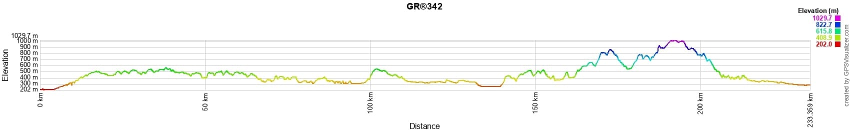
 Distance: 233km, Elevation maximum: 1028m, Elevation minimum: 202m, Elevation gain uphill: 4610m
IGN Maps: 2428SB - MONTLUÇON COMMENTRY. 2429SB - SAINT-ÉLOY-LES-MINES MONTAIGUT PIONSAT. 2529SB - GANNAT MENAT. 2530SB - AIGUEPERSE CHÂTELGUYON MANZAT. 2629SB - VICHY BELLERIVE-SUR-ALLIER. 2630SB - MARINGUES SAINT-YORRE. 2729SB - LAPALISSE LA PACAUDIÈRE. 2730SB - LE MAYET-DE-MONTAGNE SAINT-JUST-EN-CHEVALET. 2830SB - ROANNE THIZY-LES-BOURGS.
Nearby paths:
![]() It is advisable to follow the beacons throughout your itinerary and to take the Fédération Française de la Randonnée Pédestre topo-guide with you. You will also find information on MonGR.fr.
It is advisable to follow the beacons throughout your itinerary and to take the Fédération Française de la Randonnée Pédestre topo-guide with you. You will also find information on MonGR.fr.
GR®, PR®, GRP®, and the corresponding signs of markings (white / red, yellow and yellow / red) are trademarks of the French Federation of Hiking. They may not be reproduced without permission. The French Federation of Hiking, state-approved, includes organizations that create and maintain hiking routes on GR®, PR®, and GRP®. It publishes guides for these topo hiking routes. With your donations, you support the actions of the thousands of FFRandonnée volunteer markers.
GR-Infos.com is an editorial partner of MonGR.fr.
| Return |

Former holiday hotel with a garden along the Allier, L'Etoile Guest House is located in La Bastide-Puylaurent between Lozere, Ardeche, and the Cevennes in the mountains of Southern France. At the crossroads of GR®7, GR®70 Stevenson Path, GR®72, GR®700 Regordane Way, GR®470 Allier River springs and gorges, GRP® Cevenol, Ardechoise Mountains, Margeride. Numerous loop trails for hiking and one-day biking excursions. Ideal for a relaxing and hiking getaway.
Copyright©gr-infos.com (Authorization for private use only)
To help us maintain and improve GR-Infos.com, a contribution of 2€ is desired via Wero or bank transfer. Thank you!