|
Hike on the GR®69 La Routo through Bouches-du-Rhone, Var and Alpes-de-Haute-Provence department from Aix-en-Provence to Riez via Rians, Vinon-sur-Verdon et Valensole. Guest House, Bed and Breakfast, Hotel, Camping, Shelter, Inn, Shops.
|

|

GR®69
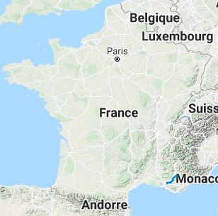
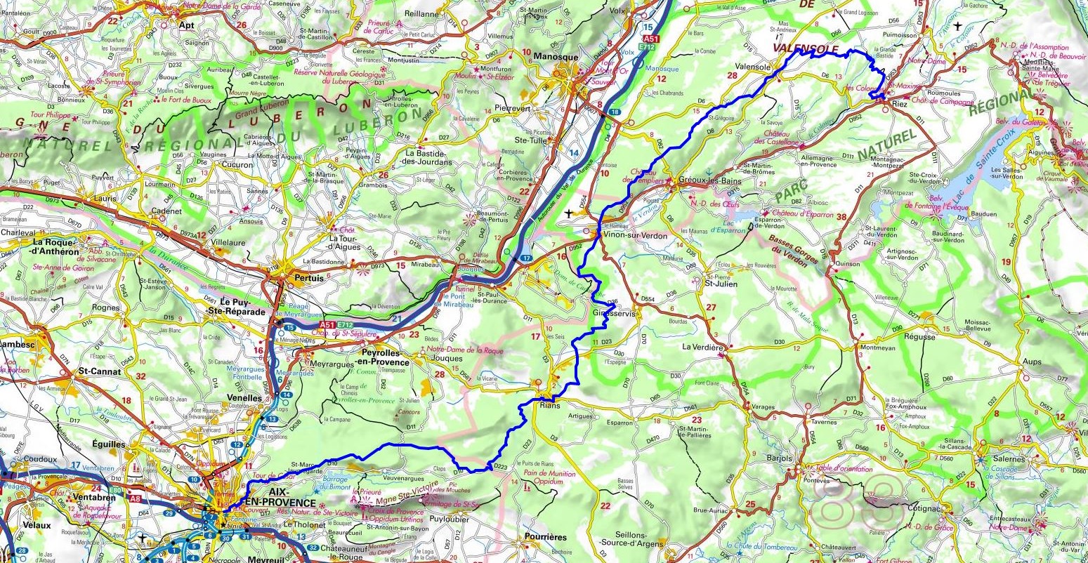
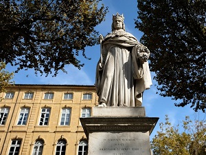
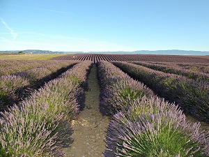
From Aix-en-Provence (Bouches-du-Rhone) to Riez (Alpes-de-Haute-Provence)
La Routo
100km
Google Maps - Google Earth

© GPX Private use only |
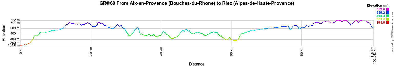
Distance: 100km, Elevation maximum: 652m, Elevation minimum: 185m, Elevation gain uphill: 1923m
IGN Maps: 3143ET - AIX-EN-PROVENCE / VITROLLES / LAMBESC. 3244ET - MONTAGNE SAINTE-VICTOIRE / AIX-EN-PROVENCE / GARDANNE / TRETS. 3342ET - PLATEAU DE VALENSOLE / RIEZ / ORAISON / PNR DU VERDON. 3342OT - MANOSQUE / FORCALQUIER / PNR DU LUBERON. 3343OT - GREOUX-LES-BAINS / RIANS / PNR DES GORGES DU VERDON. 3344OT - SAINT-MAXIMIN-LA-SAINTE-BAUME / BARJOLS / TRETS / MONT-AURELIEN. 3442OT - GORGES-DU-VERDON / MOUSTIERS-SAINTE-MARIE / LAC DE SAINTE-CROIX.
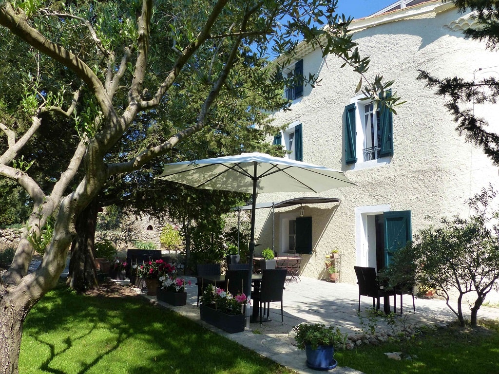
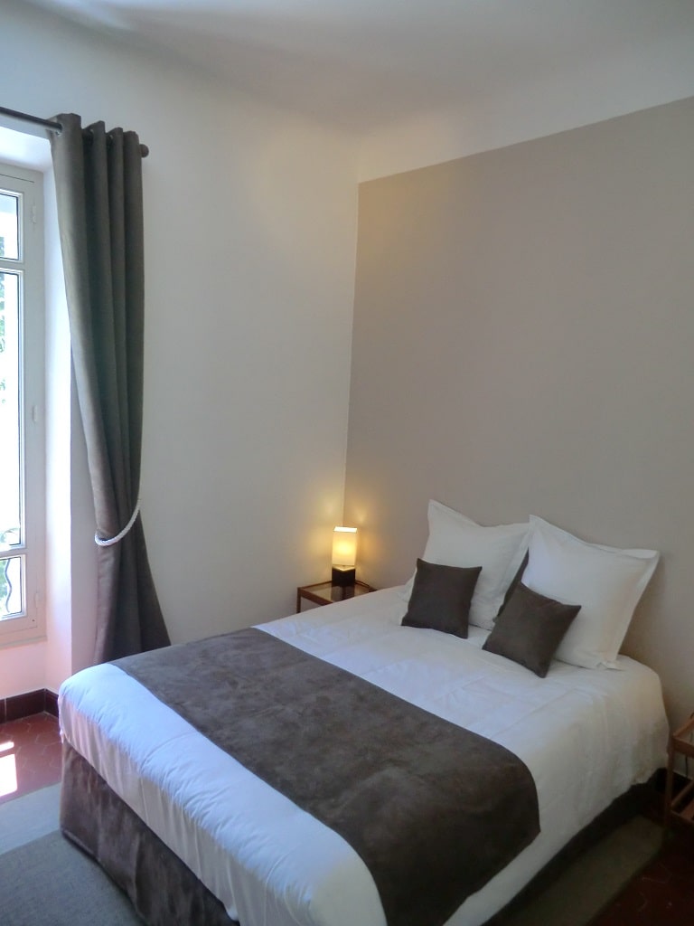
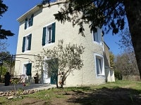
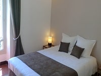
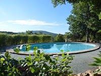
Rians: Le Moulin de Varrians Guest house, 07 79 64 10 14, Email
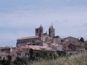
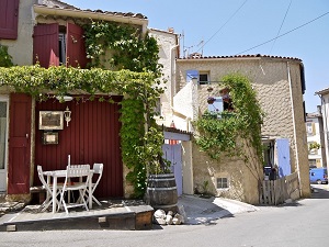
In the heart of Provence, Le Moulin de Varrians is a residence of character, built around an old 19th century mill, perched on a 3.3 hectare hill facing the village of Rians.
We offer table d'hotes meals by reservation. Our room rates also includes breakfast.
|
|
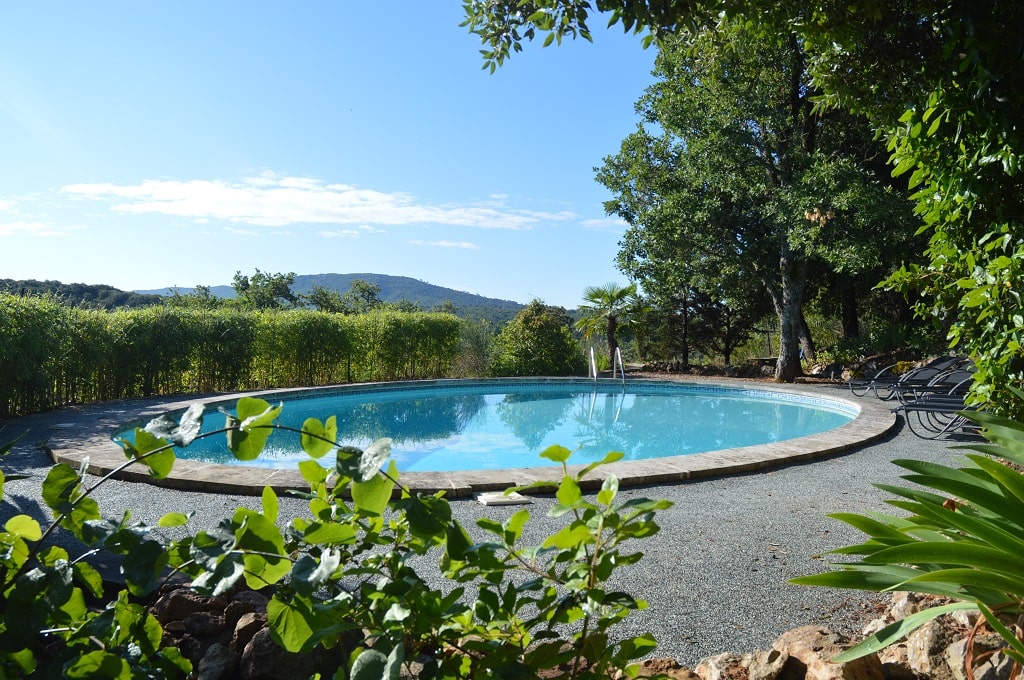
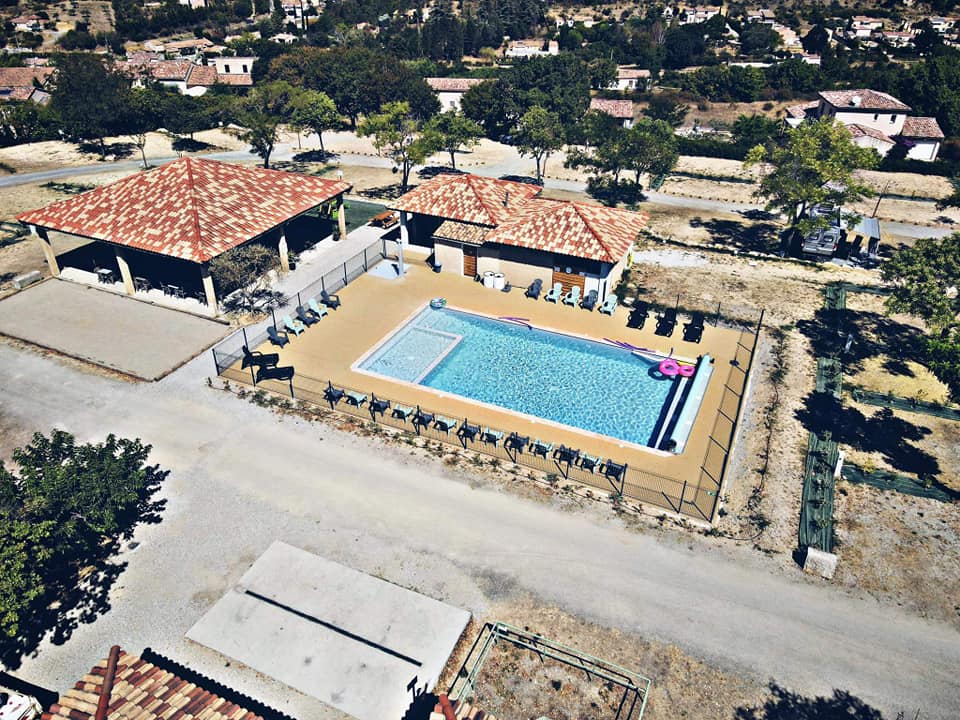
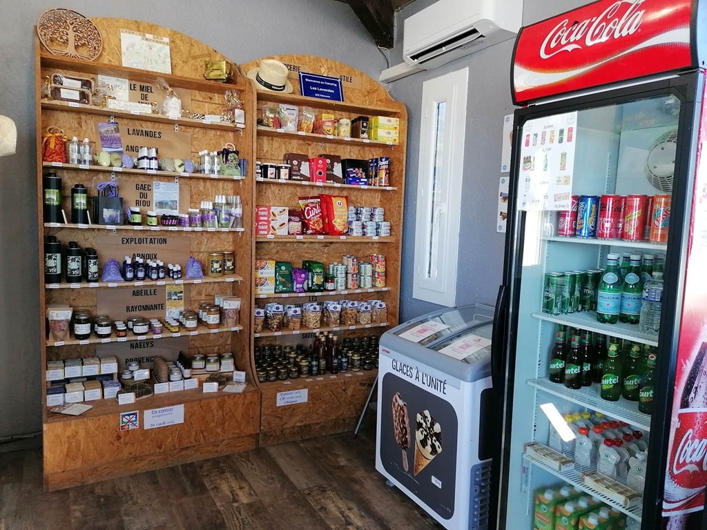
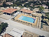
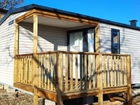
Valensole: Les Lavandes Camping, 04 92 74 84 18, Email
We offer 61 pitches for tents, caravans and motorhomes which we rent by the night and 11 mobile homes for 4 to 6 people which we rent for a minimum of 3 nights.
New: We rent a tent with the essentials: 2/3 person tent, mattresses, duvets, pillows, for one night for people who do not have any equipment with them. |
|

Registration
Accommodation or business owner on or near a GR®, you can appear on GR-INFOS
For your registration, you can send me by email (papadimitriou4@gmail.com): your address and phone number, your website (Facebook page), a brief description with 5 beautiful photos of your establishment.
Registration price : 100€/5 years per GR® or GRP®. Renewable. |
GR®69 La Routo
From Arles to Aix-en-Provence (Bouches-du-Rhone)
From Aix-en-Provence (Bouches-du-Rhone) to Riez (Alpes-de-Haute-Provence)
From Riez to Le Vernet (Alpes-de-Haute-Provence)
From Le Vernet to Ruburent Pass (Alpes-de-Haute-Provence)
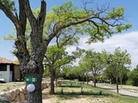
 It is advisable to follow the beacons all along your hike and to bring you the FFRandonnee topo-guide. You
will also find information on MonGR.fr.
It is advisable to follow the beacons all along your hike and to bring you the FFRandonnee topo-guide. You
will also find information on MonGR.fr.
GR®, PR®, GRP®, and the corresponding signs of markings (white / red, yellow and yellow / red) are trademarks of the French
Federation of Hiking. They may not be reproduced without permission. The French Federation of Hiking, state-approved, includes organizations that create and maintain hiking routes on GR®, PR® and
GRP®. It publishes guides these topo hiking routes.
With your donations, support the actions of the thousands of volunteer markers of the FFRandonnee.
GR-Infos.com is an editorial partner of MonGR.fr.
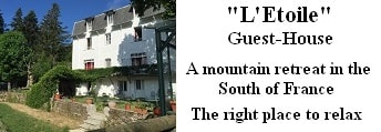
Old romantic Hotel, L'Etoile Guest-House is a mountain retreat
in the South of France. With a beautiful park along the Allier River, L'Etoile Guesthouse is located in La Bastide-Puylaurent between Lozere, Ardeche and Cevennes. Many hiking
trails like GR®7, GR®70 Stevenson trail, GR®72, GR®700 Regordane way, Cevenol, GR®470 Allier River Springs and Gorges, Margeride, Ardechoise. Many hiking loops. The
right place to relax.
Copyright©gr-infos.com (Authorization for private use only)