
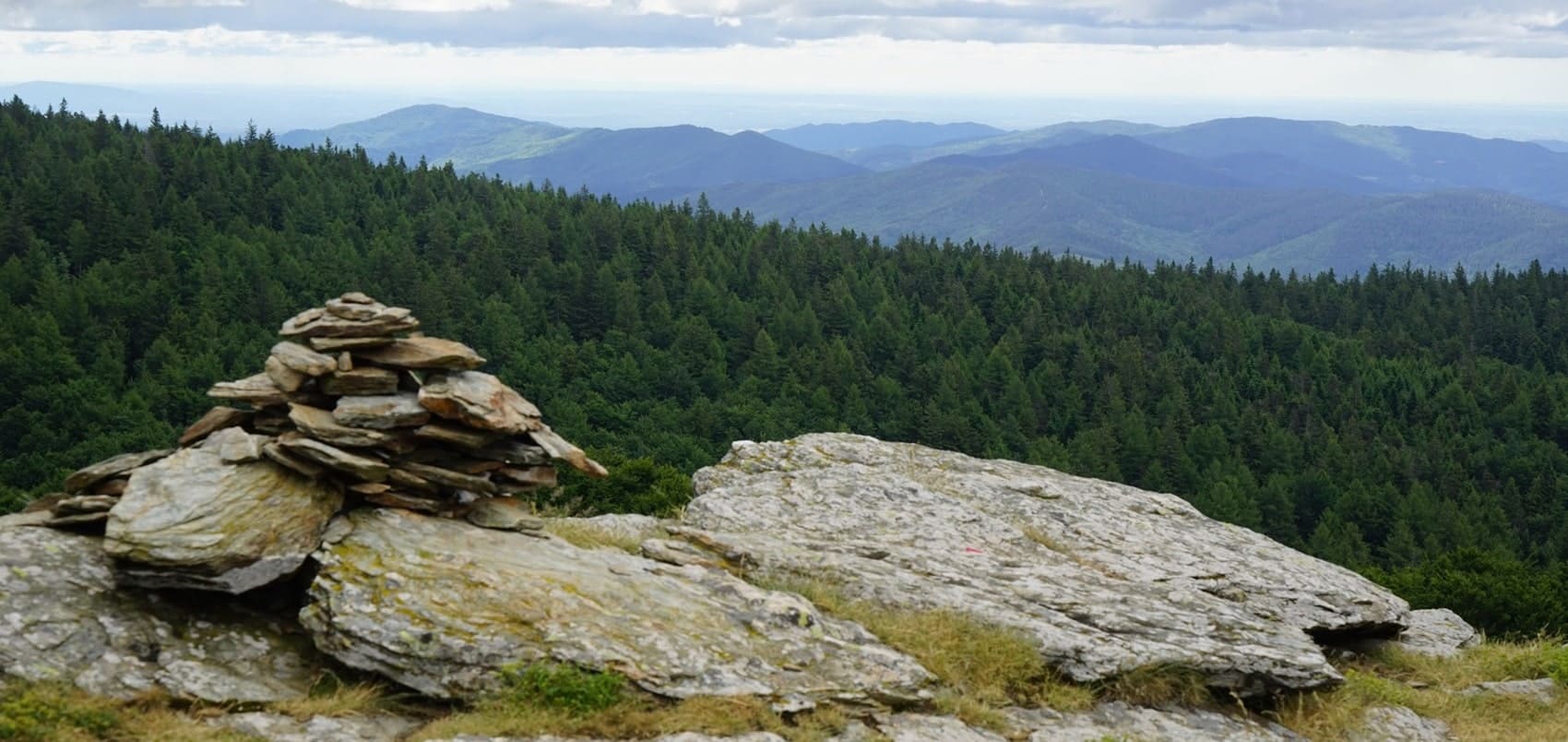
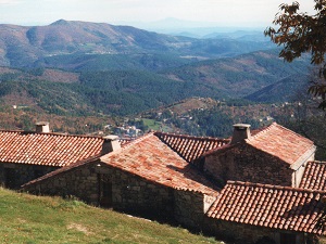
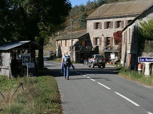
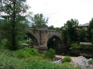
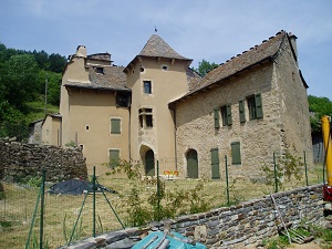
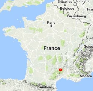
Mont Lozère, the highest peak in the Cévennes, is a land of granite where history and nature intertwine in a wild landscape of moors and rocky outcrops. Shaped by agro-pastoralism, its living heritage is expressed through sheep and cattle farming, marked by the centuries-old tradition of transhumance. Its inhabitants, heirs to a culture of resilience, have left their mark through dry-stone walls, waymarked drailles (ancient drove roads) and the remarkable Pont-de-Montvert, village of memory. The flora includes vast heathlands of purple heather, high-altitude bogs and Atlantic peat bogs that are home to rare carnivorous plants. The wolf has returned to the Lozère, joining the capercaillie and the bearded vulture as emblematic species of this wild massif.
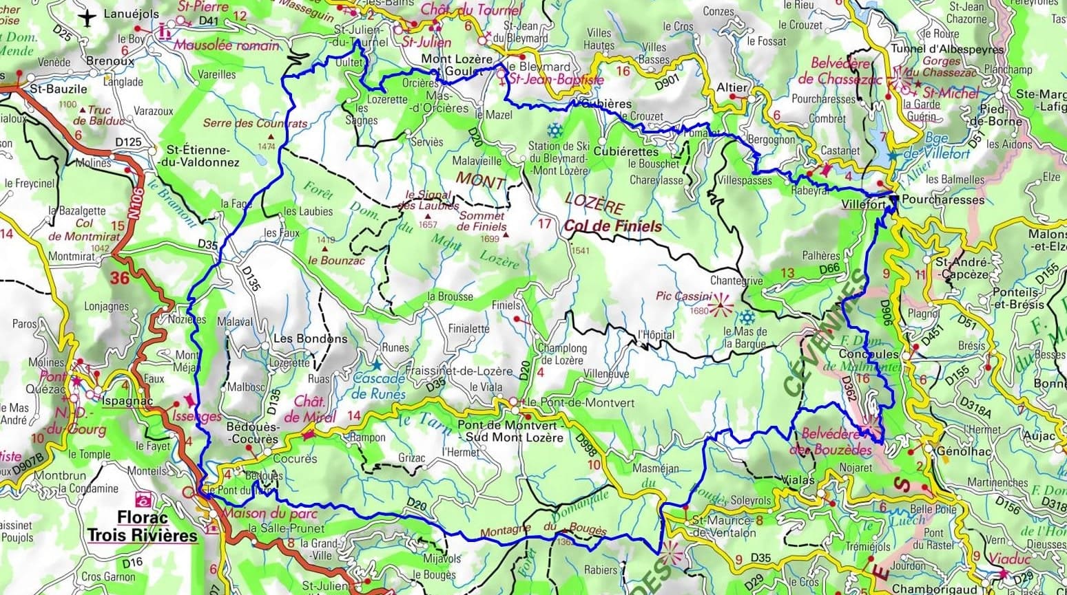
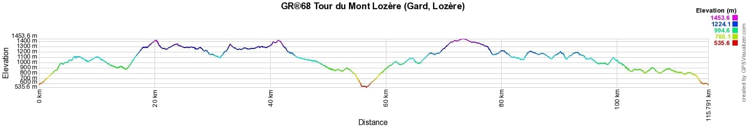
 Distance: 115km, Elevation maximum: 1453m, Elevation minimum: 542m, Elevation gain uphill: 4338m
Nearby paths:
![]() It is advisable to follow the beacons all along your hike and to bring the FFRandonnée topo-guide. You will also find information on MonGR.fr.
It is advisable to follow the beacons all along your hike and to bring the FFRandonnée topo-guide. You will also find information on MonGR.fr.
GR®, PR®, GRP®, and the corresponding signs of markings (white/red, yellow and yellow/red) are trademarks of the French Federation of Hiking. They may not be reproduced without permission. The French Federation of Hiking, state-approved, includes organizations that create and maintain hiking routes on GR®, PR® and GRP®. It publishes topo-guides for these hiking routes. With your donations, support the actions of the thousands of volunteer markers of the FFRandonnée.
GR-Infos.com is an editorial partner of MonGR.fr.
| Return |

Former holiday hotel with a garden along the Allier, L'Etoile Guest House is located in La Bastide-Puylaurent between Lozere, Ardeche, and the Cevennes in the mountains of Southern France. At the crossroads of GR®7, GR®70 Stevenson Path, GR®72, GR®700 Regordane Way, GR®470 Allier River springs and gorges, GRP® Cevenol, Ardechoise Mountains, Margeride. Numerous loop trails for hiking and one-day biking excursions. Ideal for a relaxing and hiking getaway.
Copyright©gr-infos.com (Authorization for private use only)
To help us maintain and improve GR-Infos.com, a contribution of 2€ is desired via Wero or bank transfer. Thank you!