|
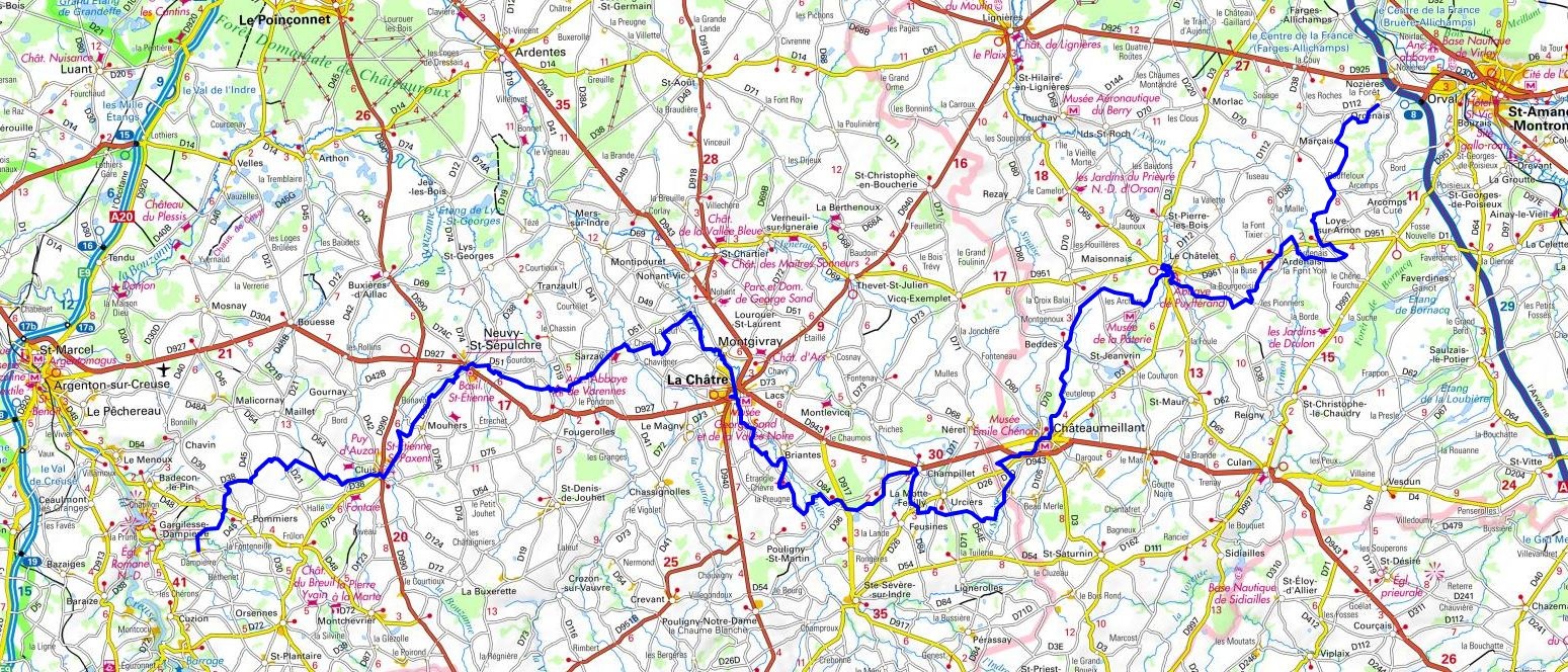
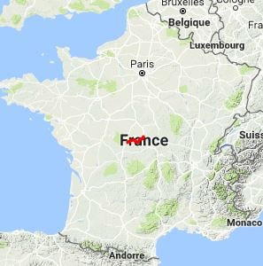
Hike on the GR®654 Via Lemovicensis towards Santiago de Compostela through Cher and Indre department from Orcenais to Dampierre via Arcomps, Le Chatelet , Saint-Jeanvrin, Chateaumeillant,
Urciers, La Motte-Feuilly, Briantes, La Chatre, Nohant-Vic, Neuvy-Saint-Sepulchre and Cluis. Guest House, Bed and Breakfast, Hotel, Camping, Shelter, Inn, Shops.
|

|

GR®654
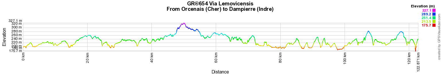
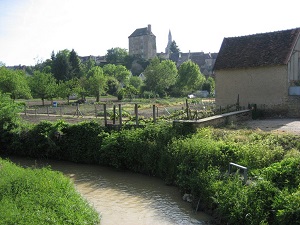
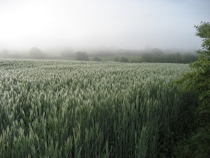
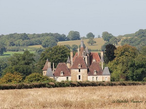
From Orcenais (Cher) to Dampierre (Indre)
Via Lemovicensis
Santiago de Compostela
122km
Google Maps - Google Earth

© GPX Private use only |
Distance: 122km, Elevation maximum: 326m, Elevation minimum: 182m, Elevation gain uphill: 1012m
IGN Maps: Cluis (2127E). La Chatre (2227E). Neuvy-St-Sepulchre (2227O). St-Amand-Montrond
(2326E). Chateaumeillant (2327O).

Registration
Accommodation or business owner on or near a GR®, you can appear on GR-INFOS
For your registration, you can send me by email (papadimitriou4@gmail.com): your address and phone number, your website (Facebook page), a brief description with 5 beautiful photos of your establishment.
Registration price : 100€/5 years per GR® or GRP®. Renewable. |
|
GR®654 Via Lemovicensis
From Gue-d'Hossus (Ardennes) to Reims (Marne)
From Reims to Blaise-sous-Arzillieres (Marne)
From Blaise-sous-Arzillieres (Marne) to Bar-sur-Seine (Aube)
From Bar-sur-Seine (Aube) to Irancy (Yonne)
From Irancy (Yonne) to La Charite-sur-Loire (Nievre)
From La Charite-sur-Loire (Nievre) to Orcenais (Cher)
From Orcenais (Cher) to Dampierre (Indre)
From Dampierre (Indre) to Virareix (Haute-Vienne)
From Virareix to Champsac (Haute-Vienne)
From Champsac (Haute-Vienne) to Perigueux (Dordogne)
From Perigueux (Dordogne) to La Reole (Gironde)
From La Reole (Gironde) to Mont-de-Marsan (Landes)
From Mont-de-Marsan (Landes) to Saint-Palais (Pyrenees-Atlantiques)
 It is advisable to follow the beacons all along your hike and to bring you the FFRandonnee topo-guide. You
will also find information on MonGR.fr.
It is advisable to follow the beacons all along your hike and to bring you the FFRandonnee topo-guide. You
will also find information on MonGR.fr.
GR®, PR®, GRP®, and the corresponding signs of markings (white / red, yellow and yellow / red) are trademarks of the French
Federation of Hiking. They may not be reproduced without permission. The French Federation of Hiking, state-approved, includes organizations that create and maintain hiking routes on GR®, PR® and
GRP®. It publishes guides these topo hiking routes.
With your donations, support the actions of the thousands of volunteer markers of the FFRandonnee.
GR-Infos.com is an editorial partner of MonGR.fr.
Old romantic Hotel, L'Etoile Guest-House is a mountain retreat in the South of France. With a beautiful park along the Allier River, L'Etoile Guesthouse is located in La Bastide-Puylaurent between Lozere, Ardeche and Cevennes. Many hiking trails like GR®7, GR®70 Stevenson trail, GR®72, GR®700 Regordane way, Cevenol, GR®470 Allier River Springs and Gorges, Margeride, Ardechoise. Many hiking loops. The right place to relax.
Copyright©gr-infos.com (Authorization for private use only)