
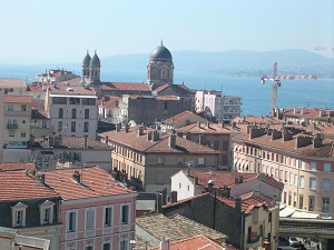
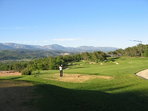
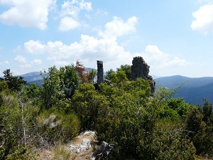
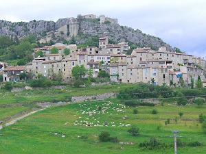
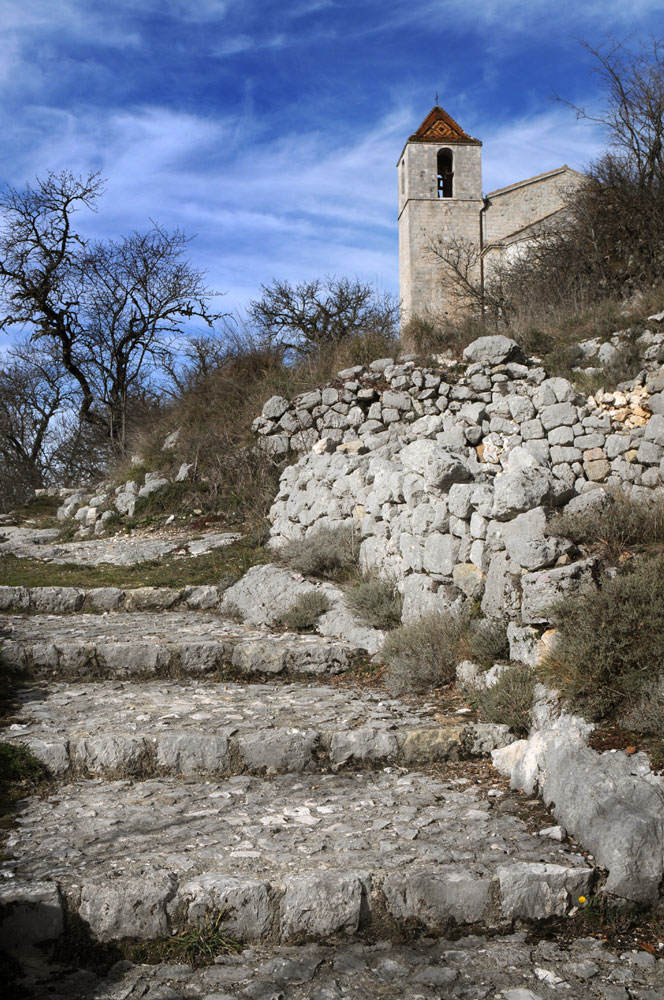
The GR®49 is a wild and immersive trail linking the Var beaches of Saint-Raphaël to the peaks of the Alpes-de-Haute-Provence at Rougon. This historic trail, once used by shepherds for transhumance, traverses contrasting landscapes ranging from the red rocks of the Esterel Massif to the limestone plateaux of the Verdon Gorge. The highlight is undoubtedly the crossing of the Verdon Gorge, offering breathtaking views of Europe's largest canyon. The endemic flora, including the extraordinary Verdon palm, and the diverse fauna — Egyptian vultures, kingfishers, beavers — make this trail a haven for nature lovers.

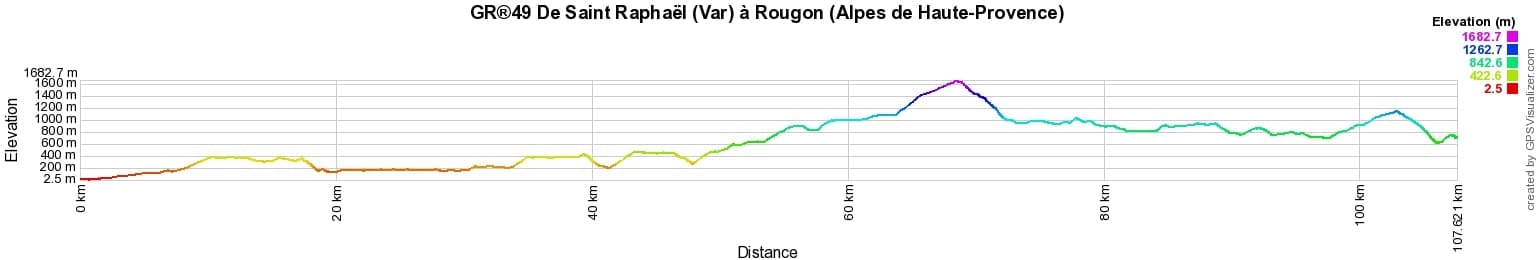
 Distance: 107km, Elevation maximum: 1683m, Elevation minimum: 2m, Elevation gain uphill: 3912m
|
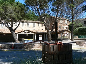
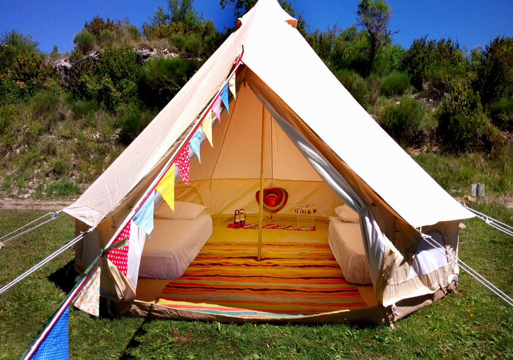
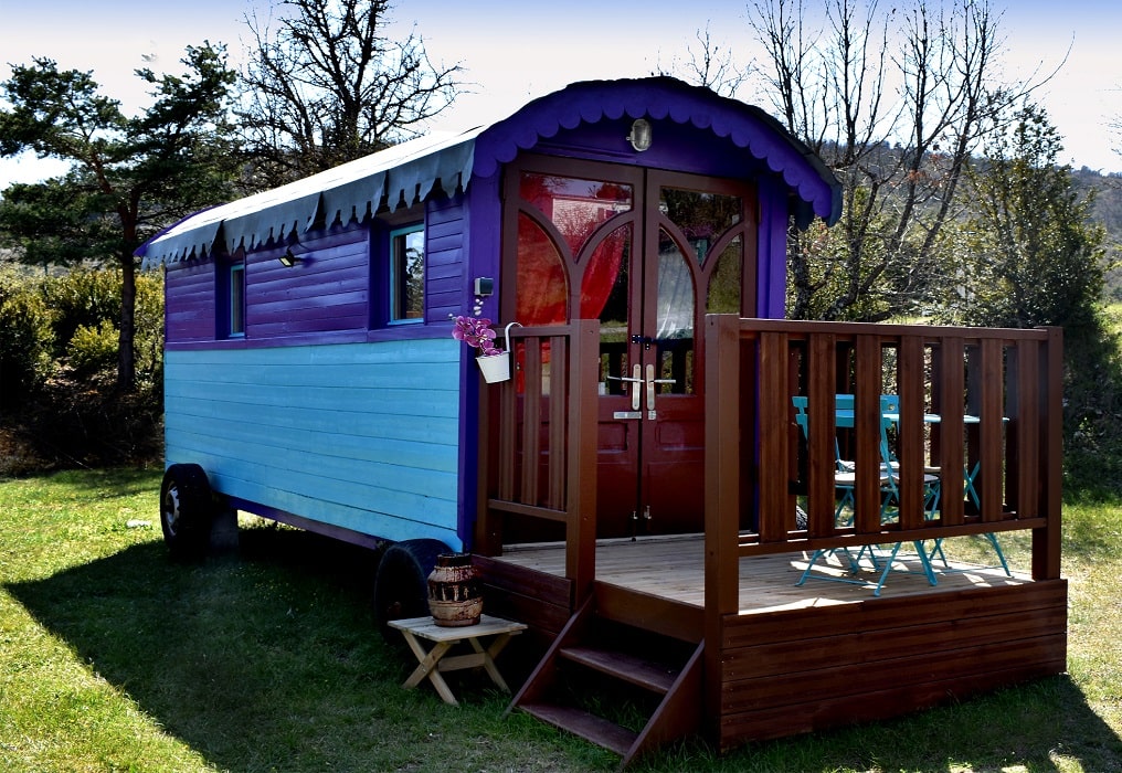
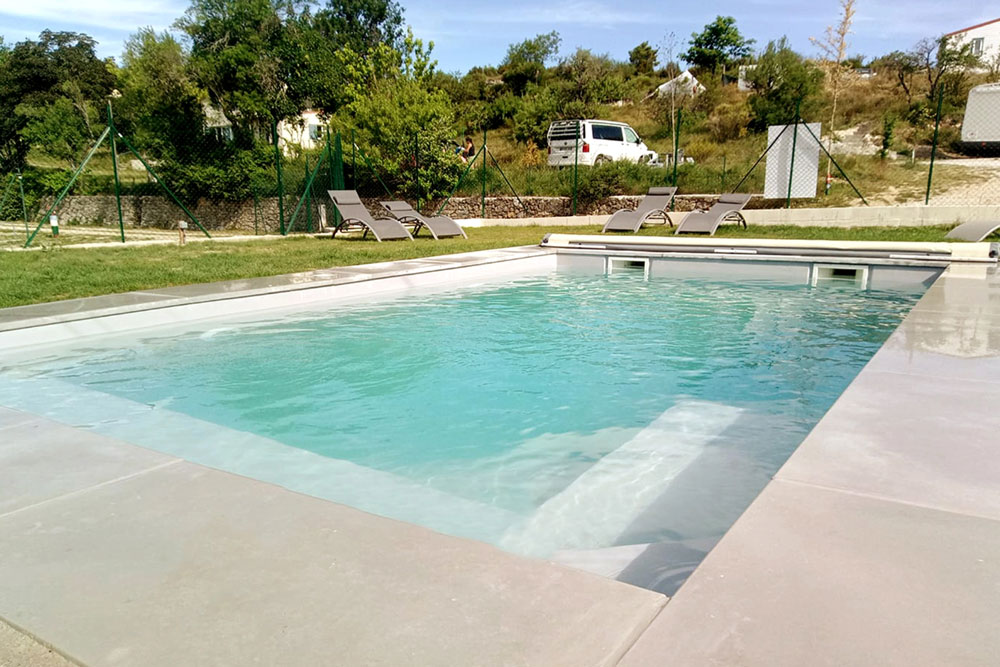
Comps-sur-Artuby: Humawaka Camping, Eric and Sonia, 04 94 85 68 34, 06 69 40 57 92, Email Located in the Verdon regional park on the GR®49. Small family campsite with 45 pitches in the heart of the village of Comps-sur-Artuby. Snack bar, swimming pool, playground and dedicated space for cyclists and hikers (shared kitchen, dedicated area, plancha grills available, preferential rate for hikers). |
|
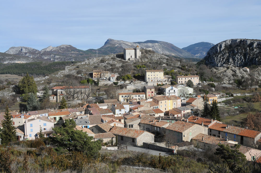
Nearby paths:
![]() It is advisable to follow the beacons all along your hike and to bring the FFRP topo-guide. You will also find information on MonGR.fr.
It is advisable to follow the beacons all along your hike and to bring the FFRP topo-guide. You will also find information on MonGR.fr.
® The GR® GRP® PR acronyms, as well as the corresponding trail signs (white/red, yellow and yellow/red), are trademarks of the Fédération Française de la Randonnée Pédestre. They may not be reproduced without its permission. The FFRP, recognized as being of public utility, groups together the associations which create and maintain the hiking routes on the GR® GRP® PR. It publishes topo-guides for these hiking routes. With your donations, support the actions of the thousands of volunteer markers of the FFRP.
GR-Infos.com is an editorial partner of MonGR.fr.
| Return |

Former holiday hotel with a garden along the Allier, L'Etoile Guest House is located in La Bastide-Puylaurent between Lozere, Ardeche and the Cevennes in the mountains of Southern France. At the crossroads of GR®7, GR®70 Stevenson trail, GR®72, GR®700 Regordane way, GR®470 Springs and Gorges of the Allier river, GRP® Cevenol, Ardechoise mountain, Margeride. Many loop routes for hiking and cycling for a day. Ideal for a relaxing and hiking stay.
Copyright©gr-infos.com (Authorization of use for private purposes only)
To help us maintain and improve GR-Infos.com, a contribution of 2€ is desired via Wero or bank transfer. Thank you!