
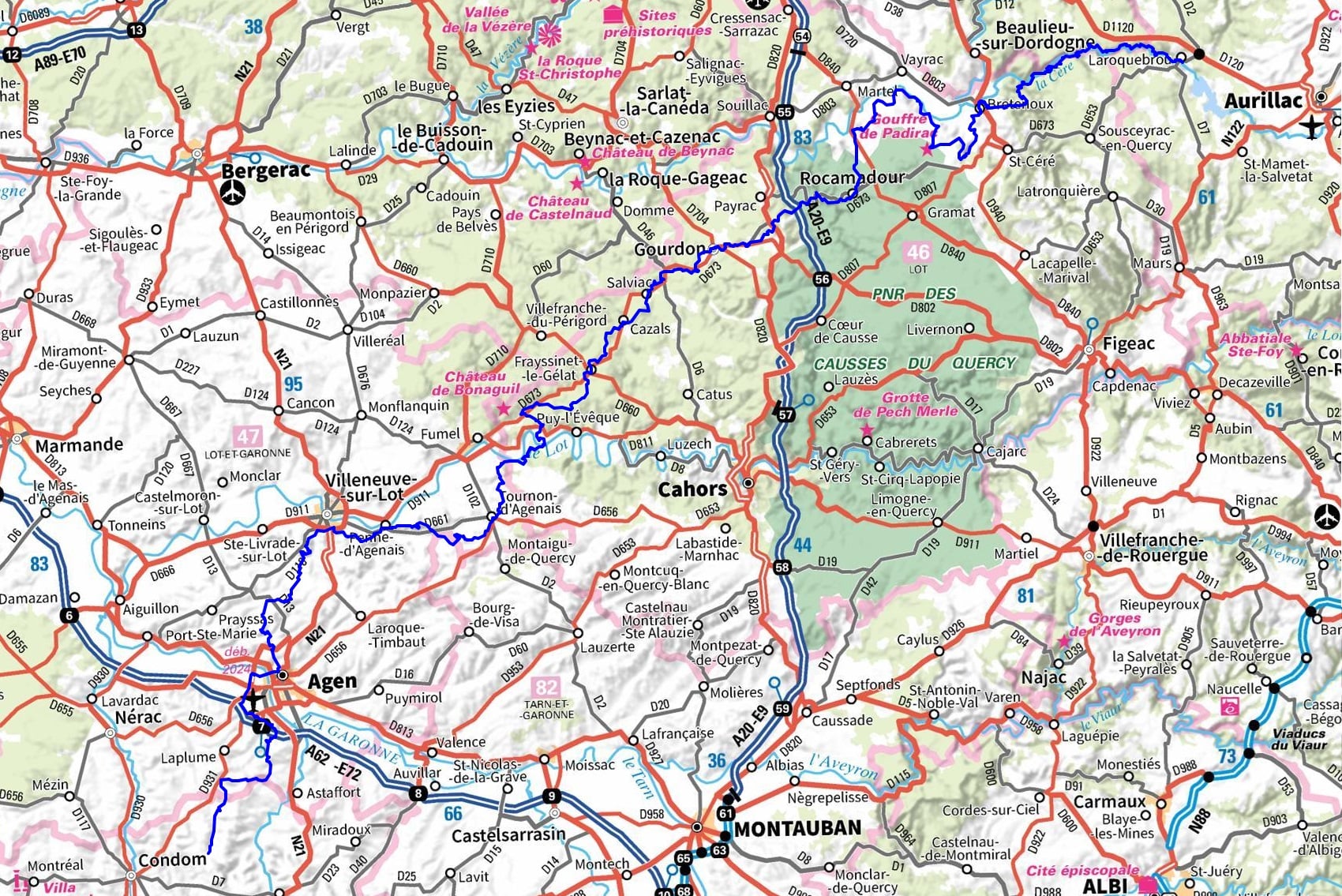
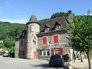
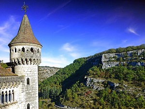
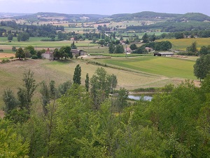
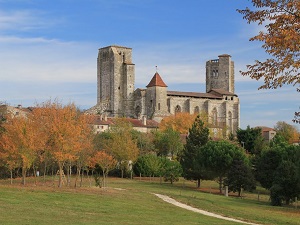
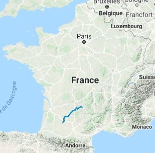
The GR652, a variant of the Camino de Santiago, climbs towards the wooded plateaus of the Quercy region. The heart of the route is Rocamadour, a Marian shrine clinging to its limestone cliff, which has welcomed pilgrims since the Middle Ages. The path then winds through the Causses du Quercy Regional Nature Park, a landscape of dry stone walls, dolmens, and downy oaks, where the silence is broken only by the tinkling of sheep. As it continues southwest, the terrain softens, giving way to the fertile valleys of Lot-et-Garonne and the hills of Gascony. The architectural heritage is exceptional: from charming fortified towns to Romanesque churches, culminating in the magnificent finale at La Romieu, famous for its collegiate church. On the nature side, the hiker crosses varied environments, from the cool gorges of Cantal to the plum orchards of Ente and the vineyards of Gers.


 Distance: 342km, Elevation maximum: 543m, Elevation minimum: 39m, Elevation gain uphill: 8356m
|
Le Vigan: Les Sources Guesthouse, Sandrine Mauret, 06 23 23 29 72, Email. |


|
Nearby paths:
![]() It is advisable to follow the beacons throughout your itinerary and to take the Fédération Française de la Randonnée Pédestre topo-guide with you. You will also find information on MonGR.fr.
It is advisable to follow the beacons throughout your itinerary and to take the Fédération Française de la Randonnée Pédestre topo-guide with you. You will also find information on MonGR.fr.
GR®, PR®, GRP®, and the corresponding signs of markings (white / red, yellow and yellow / red) are trademarks of the French Federation of Hiking. They may not be reproduced without permission. The French Federation of Hiking, state-approved, includes organizations that create and maintain hiking routes on GR®, PR®, and GRP®. It publishes guides for these topo hiking routes. With your donations, you support the actions of the thousands of FFRandonnée volunteer markers.
GR-Infos.com is an editorial partner of MonGR.fr.
| Return |

Former holiday hotel with a garden along the Allier, L'Etoile Guest House is located in La Bastide-Puylaurent between Lozere, Ardeche, and the Cevennes in the mountains of Southern France. At the crossroads of GR®7, GR®70 Stevenson Path, GR®72, GR®700 Regordane Way, GR®470 Allier River springs and gorges, GRP® Cevenol, Ardechoise Mountains, Margeride. Numerous loop trails for hiking and one-day biking excursions. Ideal for a relaxing and hiking getaway.
Copyright©gr-infos.com (Authorization for private use only)
To help us maintain and improve GR-Infos.com, a contribution of 2€ is desired via Wero or bank transfer. Thank you!