|
GR®41 Cher Valley
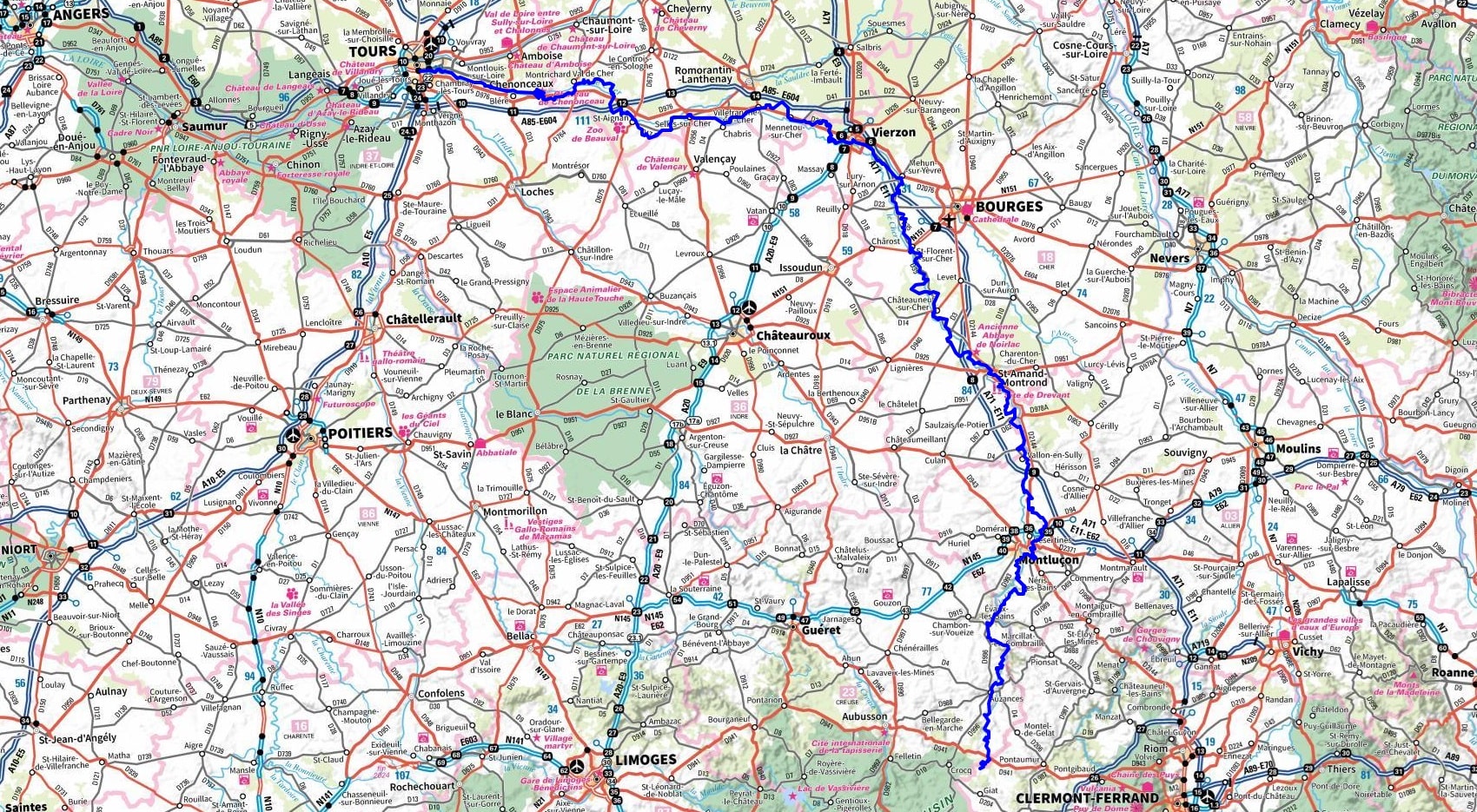
From Tours (Indre-et-Loire) to Solignat (Puy-de-Dome)
|

|
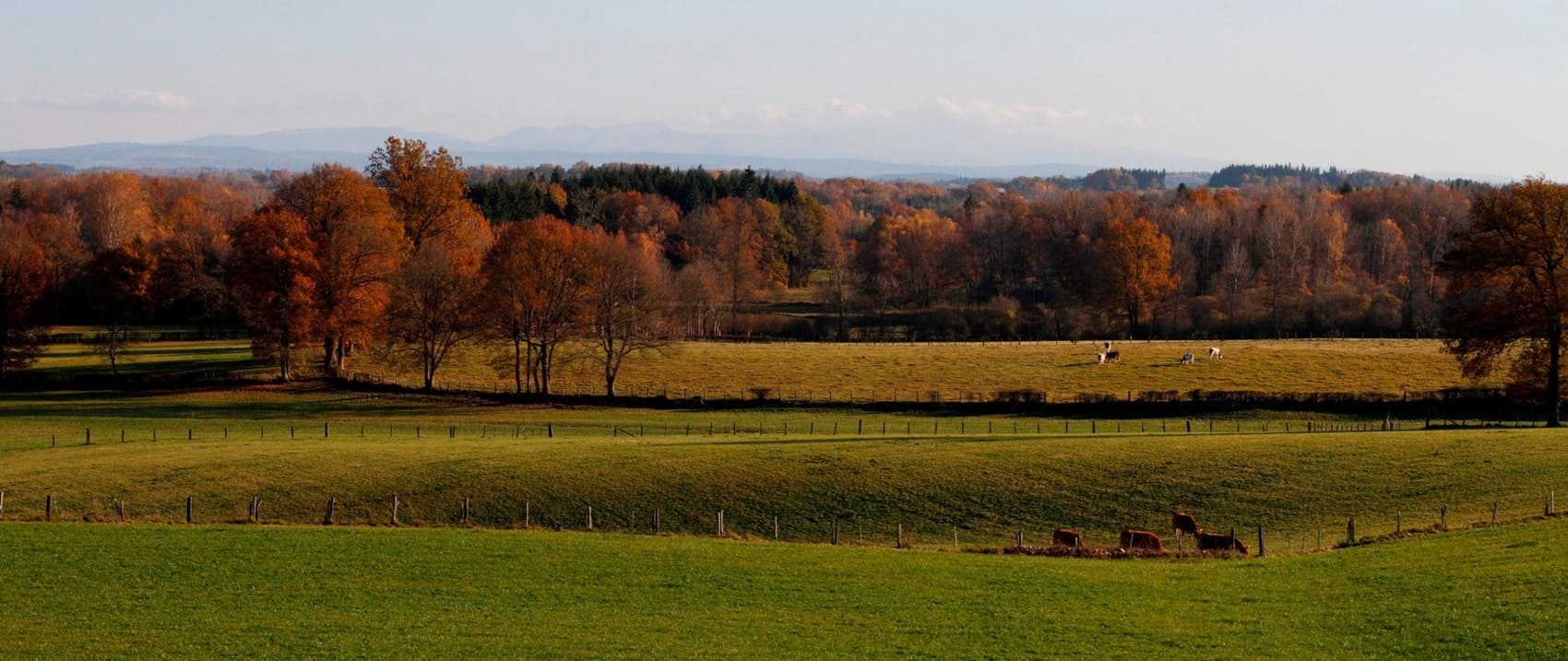
Nestled in the heart of medieval and Renaissance cities, the Cher Valley offers a fascinating dive into history. The GR®41 trail runs along the Cher River, and this region boasts a rich and varied heritage, punctuated by curiosities and discoveries that line the route. The Cher Valley is also renowned for its lush vineyards. The vineyard slopes reveal a changing palette of colors, from green to ochre, throughout the seasons. The expanse of the vineyard, the natural layout of the plots, and the variety of colors of the vines at the end of the season are all elements that delight hikers. Beyond its natural beauty, the Cher Valley is teeming with exceptional sites. From troglodyte dwellings to underground caves and majestic castles. Among the notable attractions, don't miss the Beauval Zoo, the fortress of Montrichard, and the Castle of Gue-Pean.

Google Maps - Google Earth


 Distance: 445km, Elevation maximum: 755m, Elevation minimum: 45m, Elevation gain uphill: 4622m

Nearby paths:
On the Master Ringers Footsteps (Indre-Cher-Allier)
Around Pays de Valençay (Indre, Loir-et-Cher)
Tour of the Ecueillé Region (Indre)
GR®3 Loire River trail
GR®4 From the Atlantic to the Mediterranean
GR®46 From Tours (Indre-et-Loire) to Toulouse (Haute-Garonne)
GR®89 Montaigne trail
GR®100 The Hundred Years' War Paths
GR®303 From Neris-les-Bains to Montcombroux-les-Mines (Allier)
GR®342 From Montluçon (Allier) to Roanne (Loire)
GR®654 The Way of Vézelay
GR®655 Via Turonensis
GR®655 EAST From Villebon-sur-Yvette (Essonne) to Vouvray (Indre-et-Loire)
 It is advisable to follow the beacons all along your hike and to bring you the FFRandonnee topo-guide. You
will also find information on MonGR.fr.
GR®, PR®, GRP®, and the corresponding signs of markings (white / red, yellow and yellow / red) are trademarks of the French
Federation of Hiking. They may not be reproduced without permission. The French Federation of Hiking, state-approved, includes organizations that create and maintain hiking routes on GR®, PR® and
GRP®. It publishes guides these topo hiking routes. With your donations, support the actions of the thousands of volunteer markers of the FFRandonnee.
 GR-Infos.com is an editorial partner of MonGR.fr.

Former holiday hotel with a garden along the Allier, L'Etoile Guest House is located in La Bastide-Puylaurent between Lozere, Ardeche, and the Cevennes in the mountains of Southern France. At the crossroads of GR®7, GR®70 Stevenson Path, GR®72, GR®700 Regordane Way, GR®470 Allier River springs and gorges, GRP® Cevenol, Ardechoise Mountains, Margeride. Numerous loop trails for hiking and one-day biking excursions. Ideal for a relaxing and hiking getaway.
Copyright©gr-infos.com (Authorization for private use only)


