
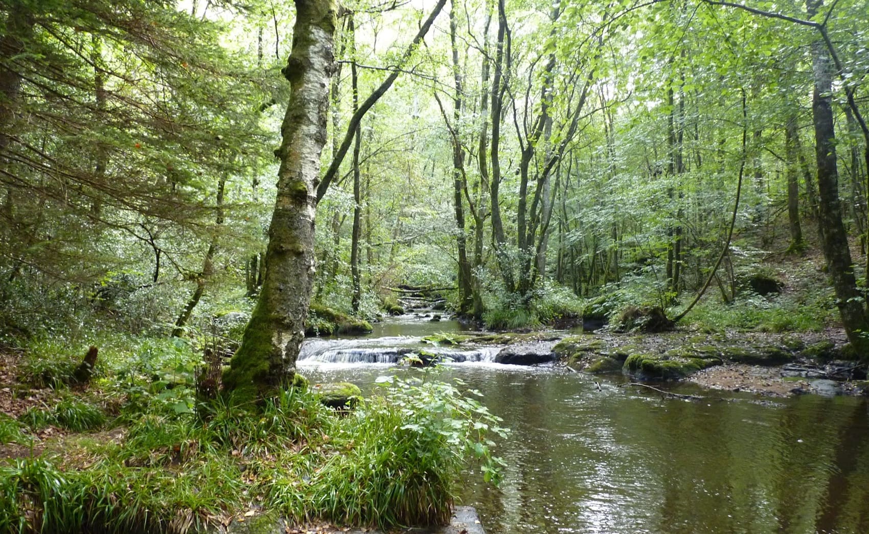
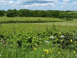
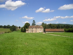
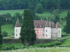
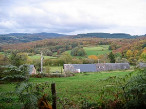
Starting from Ouroux-en-Morvan, the trail first crosses dense forests and valleys in the Morvan Regional Natural Park, leading towards Saint-Léger-Vauban, birthplace of Louis XIV's famous engineer, before following the wild shores of Lake Saint-Agnan. Continuing on towards Saint-Brisson and Alligny-en-Morvan, the history of wet nurses and cattle herders still permeates the hedged landscapes. The ascent to Glux-en-Glenne marks the Celtic heart of the massif, a stone's throw from the legendary Mont Beuvray and the ancient city of Bibracte, offering panoramic views of the Burgundy peaks. The route then descends into southern Nièvre towards Larochemillay and Villapourçon, where the terrain becomes more rugged and the rivers more lively. Between Arleuf and Lake Chaumard, the beech and fir forests create an atmosphere typical of this Burgundian "black mountain" rich in legends.
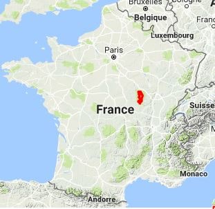
The Morvan is a low mountain range located in Burgundy-Franche-Comte, France. It covers an area of approximately 2,300 km² and reaches a maximum altitude of 960 meters at Haut-Folin. It is primarily composed of forests, meadows, and lakes. Forests cover about 70% of the territory and are composed of oak, beech, pine, and fir trees. Meadows are used for grazing cattle, sheep, and horses. Lakes are numerous and are mainly located in the lower parts of the range. The Morvan has been inhabited since prehistoric times. It has been the site of many historical events, including the Battle of Bibracte, in 52 BC, which pitted the Gauls against the Romans. In the Middle Ages, the Morvan was a land of forests and pastures, inhabited by peasants and shepherds. It played an important role in the Hundred Years' War and was the site of many battles.
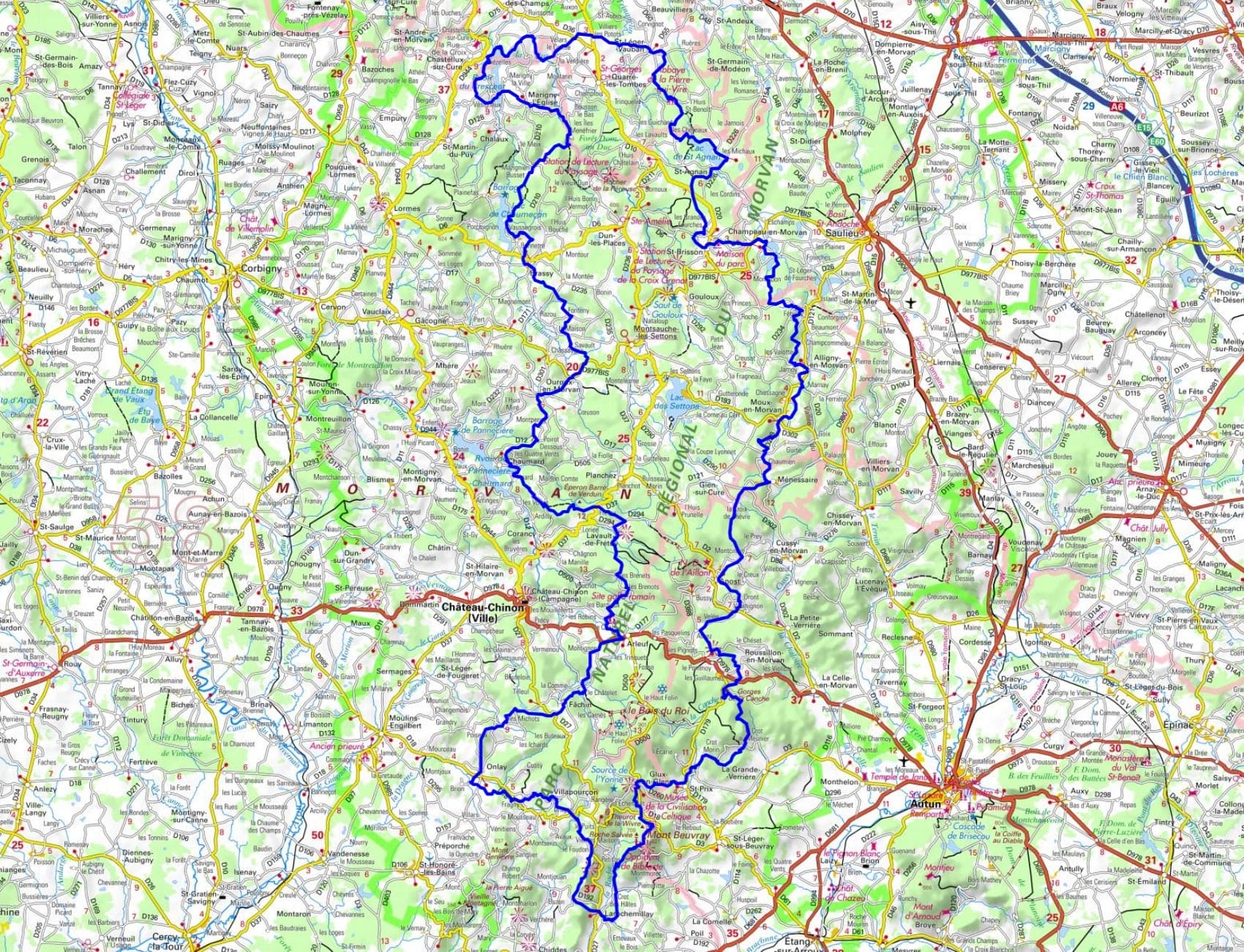
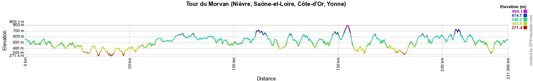
 Distance: 231km, Elevation maximum: 813m, Elevation minimum: 272m, Elevation gain uphill: 6437m
IGN Maps: Avallon Vézelay Pnr du Morvan - 2722ET. Vézelay - 2722O. Château-Chinon Lac des Settons Pnr du Morvan - 2723ET. Quarré-Les-Tombes Saulieu Pnr du Morvan - 2822OT. Saulieu Lac des Settons Pnr du Morvan - 2823ET. Saint-Léger-Sous-Beuvray - 2825O. Mont Beuvray Haut-Folin Pnr du Morvan - 2825OT.
Nearby paths:
![]() It is advisable to follow the beacons all along your hike and to bring the FFRandonnée topo-guide. You will also find information on MonGR.fr.
It is advisable to follow the beacons all along your hike and to bring the FFRandonnée topo-guide. You will also find information on MonGR.fr.
GR®, PR®, GRP® and the corresponding markings are trademarks of the French Federation of Hiking. They may not be reproduced without permission. The French Federation of Hiking, state-approved, includes organizations that maintain hiking routes. It publishes guides for these routes. With your donations, support the actions of the thousands of volunteer markers of the FFRandonnée.
GR-Infos.com is an editorial partner of MonGR.fr.
| Return |

Former holiday hotel with a garden along the Allier, L'Etoile Guest House is located in La Bastide-Puylaurent between Lozere, Ardeche, and the Cevennes in the mountains of Southern France. At the crossroads of GR®7, GR®70 Stevenson Path, GR®72, GR®700 Regordane Way, GR®470 Allier River springs and gorges, GRP® Cevenol, Ardechoise Mountains, Margeride. Numerous loop trails for hiking and one-day biking excursions. Ideal for a relaxing and hiking getaway.
Copyright©gr-infos.com (Authorization for private use only)
To help us maintain and improve GR-Infos.com, a contribution of 2€ is desired via Wero or bank transfer. Thank you!