
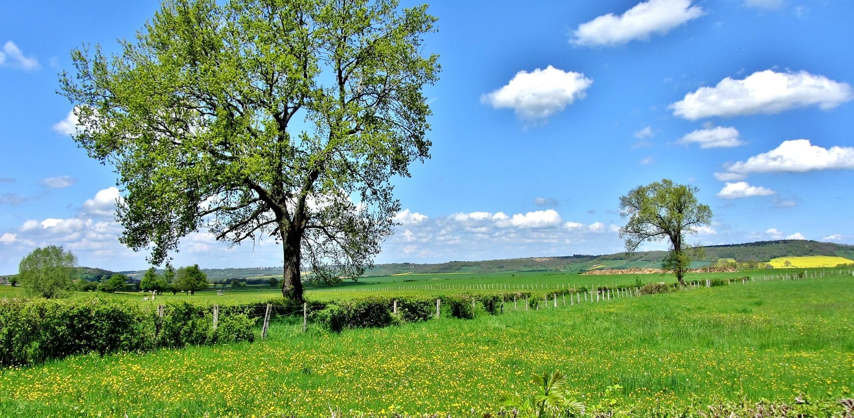
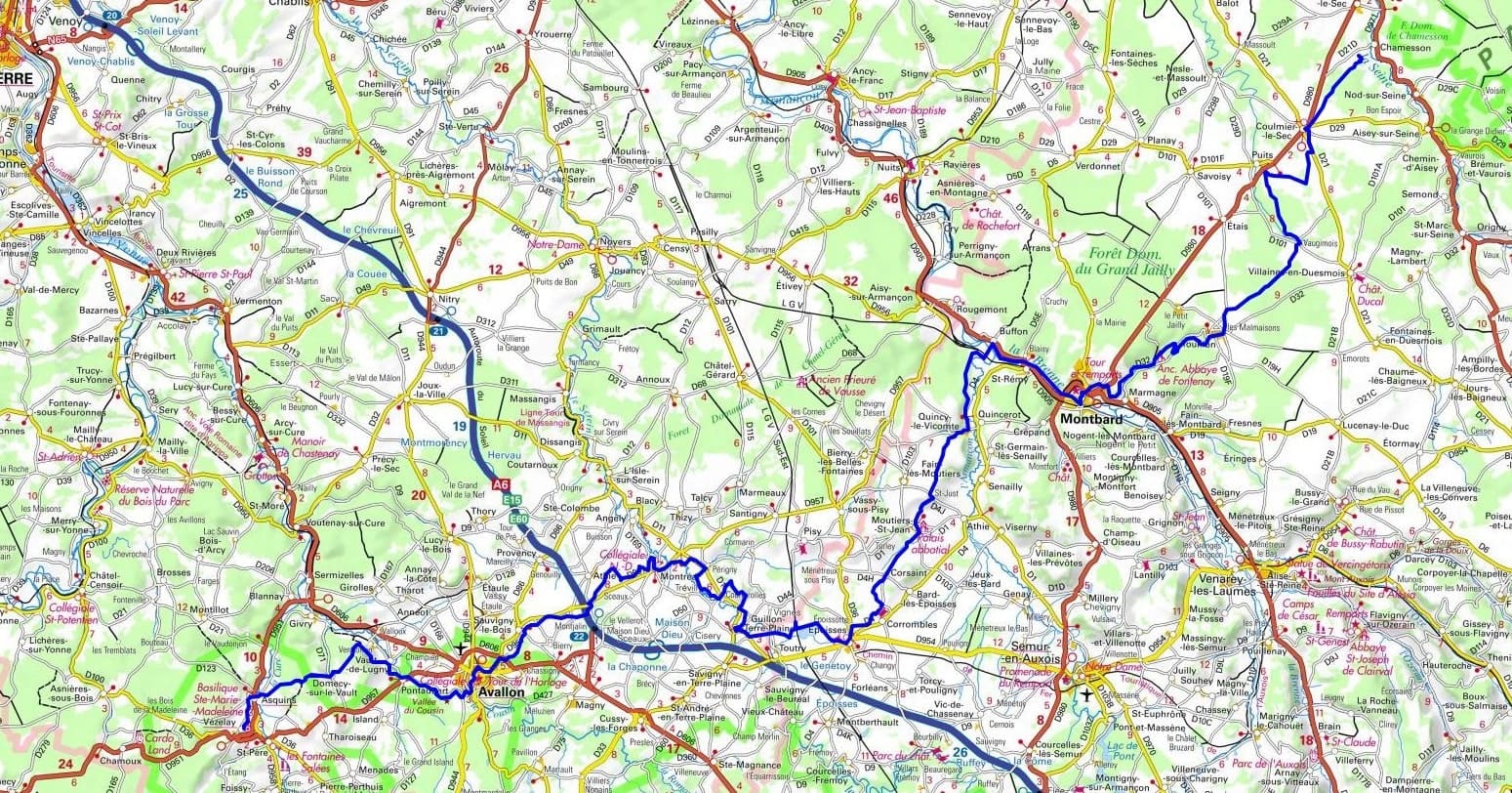
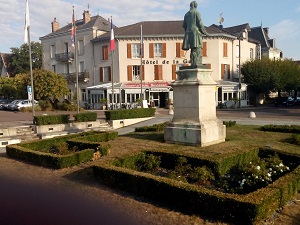
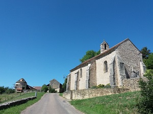
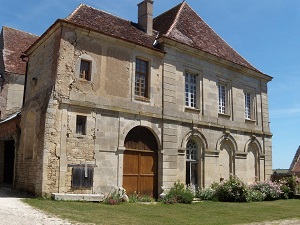
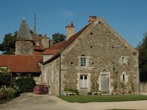
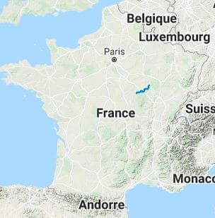
The GR213 long-distance hiking trail connects the upper Seine Valley to the timeless hills of the Yonne region. This path is an essential component of the Way of St. James (Camino de Santiago), linking pilgrims from the north and east to the prestigious Vézelay Abbey. The heritage along the way is exceptionally rich: hikers pass the imposing Fontenay Abbey, a masterpiece of Cistercian art, before reaching the medieval town of Montbard. In terms of nature, the route showcases verdant valleys, deep deciduous forests, and the meandering Armançon River. The journey reaches its climax as you approach Vézelay, where the silhouette of the Basilica of St. Mary Magdalene rises above the vineyards. It is a path of silence and culture, where each limestone village tells the story of medieval Burgundy.
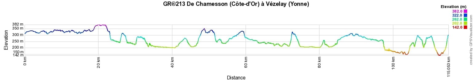
 Distance: 114,92km, Elevation maximum: 382m, Elevation minimum: 142m, Elevation gain uphill: 1505m
IGN Maps: 2920SB - Chatillon-SUR-SEINE / LAIGNES. 2921SB - MONTBARD / BAIGNEUX-LES-JUIFS / ALESIA. 2822 OT - QUARRE-LES-TOMBES, SAULIEU & PNR DU MORVAN. 2821SB - L'ISLE-SUR-SEREIN / SAINT-REMY. 2722ET - AVALLON / VEZELAY / PNR DU MORVAN.
Nearby paths:
![]() It is advisable to follow the beacons all along your hike and to bring the FFRandonnée topo-guide. You will also find information on MonGR.fr.
It is advisable to follow the beacons all along your hike and to bring the FFRandonnée topo-guide. You will also find information on MonGR.fr.
GR®, PR®, GRP® and the corresponding markings are trademarks of the French Federation of Hiking. They may not be reproduced without permission. The FFRP publishes guides for these hiking routes. With your donations, support the actions of the thousands of volunteer markers of the FFRandonnée.
GR-Infos.com is an editorial partner of MonGR.fr.
| Return |

Former holiday hotel with a garden along the Allier, L'Etoile Guest House is located in La Bastide-Puylaurent between Lozere, Ardeche, and the Cevennes in the mountains of Southern France. At the crossroads of GR®7, GR®70 Stevenson Path, GR®72, GR®700 Regordane Way, GR®470 Allier River springs and gorges, GRP® Cevenol, Ardechoise Mountains, Margeride. Numerous loop trails for hiking and one-day biking excursions. Ideal for a relaxing and hiking getaway.
Copyright©gr-infos.com (Authorization for private use only)
To help us maintain and improve GR-Infos.com, a contribution of 2€ is desired via Wero or bank transfer. Thank you!