
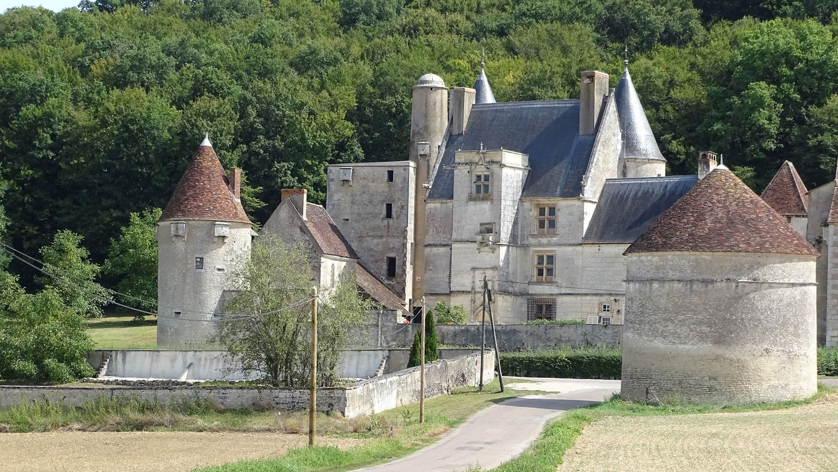
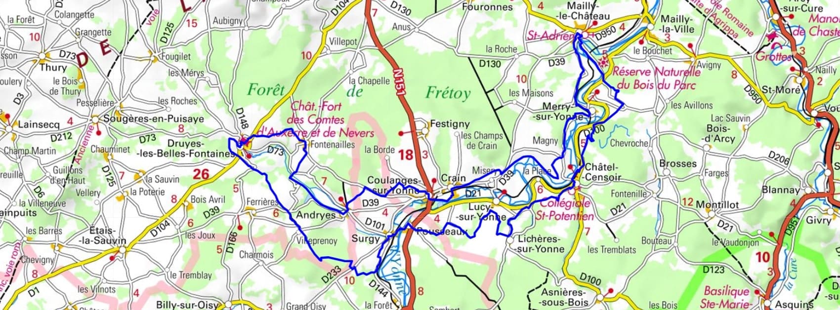
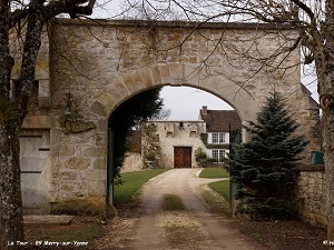
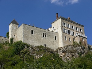
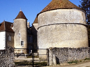
Starting in Coulanges-sur-Yonne, the trail leads to the famous Roches de Saussois in Merry-sur-Yonne, vertiginous cliffs overlooking the valley. Near Mailly-le-Château, perched on its rocky terrace, the hiker overlooks the meandering river before reaching Châtel-Censoir, a medieval village boasting a Romanesque collegiate church. Between Pousseaux and Surgy, the Nivernais Canal offers a refreshing respite. The adventure then veers away from the banks to reach Druyes-les-Belles-Fontaines, one of the most beautiful sites in the Yonne region, with its 12th-century fortified castle and bubbling springs. Here, the heritage is revealed in all its medieval ruggedness, contrasting with the gentler valleys surrounding Andryes. This route is an immersion in the history of northern Burgundy, between the ancient activity of timber rafting and the grandeur of fortified towns.
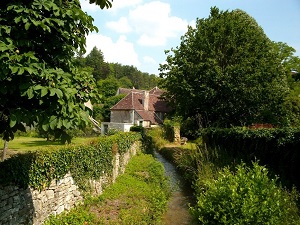
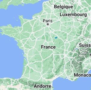
The meanders of the Yonne River create a landscape emblematic of the department of the same name, characterized by the river's deep sinuosity in the limestone hills. These curves are bordered by forests and wet meadows, where typical riverside flora, such as willows and poplars, abound. The history of this region is intimately linked to the river, which for centuries was the vital artery for timber rafting, transporting wood from the Morvan region to Paris—a heritage commemorated by the Canal du Nivernais, which follows these bends. The aquatic and riparian fauna is rich, hosting numerous waterfowl and herons, and even the European beaver, which has made a comeback in certain areas. The hillsides benefit from a microflora specific to limestone grasslands, contrasting with the dense forests that dominate the higher ground.
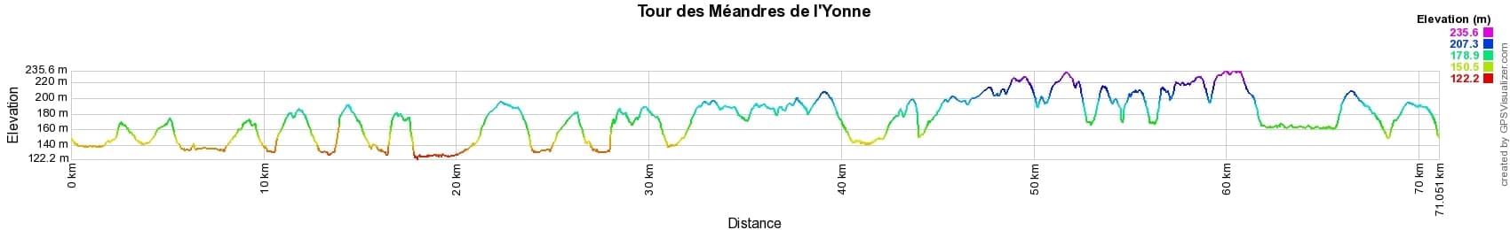
 Distance: 71km, Elevation maximum: 236m, Elevation minimum: 123m, Elevation gain uphill: 963m
IGN Maps: 2621SB - COURSON-LES-CARRIÈRES THURY. 2622SB - CLAMECY VARZY. 2721SB - VERMENTON JOUX-LA-VILLE.
Nearby paths:
![]() It is advisable to follow the beacons all along your hike and to bring the FFRandonnée topo-guide. You will also find information on MonGR.fr.
It is advisable to follow the beacons all along your hike and to bring the FFRandonnée topo-guide. You will also find information on MonGR.fr.
GR®, PR®, GRP® and the corresponding markings are trademarks of the French Federation of Hiking. They may not be reproduced without permission. The French Federation of Hiking, state-approved, includes organizations that maintain hiking routes. It publishes guides for these routes. With your donations, support the actions of the thousands of volunteer markers of the FFRandonnée.
GR-Infos.com is an editorial partner of MonGR.fr.
| Return |

Former holiday hotel with a garden along the Allier, L'Etoile Guest House is located in La Bastide-Puylaurent between Lozere, Ardeche, and the Cevennes in the mountains of Southern France. At the crossroads of GR®7, GR®70 Stevenson Path, GR®72, GR®700 Regordane Way, GR®470 Allier River springs and gorges, GRP® Cevenol, Ardechoise Mountains, Margeride. Numerous loop trails for hiking and one-day biking excursions. Ideal for a relaxing and hiking getaway.
Copyright©gr-infos.com (Authorization for private use only)
To help us maintain and improve GR-Infos.com, a contribution of 2€ is desired via Wero or bank transfer. Thank you!