
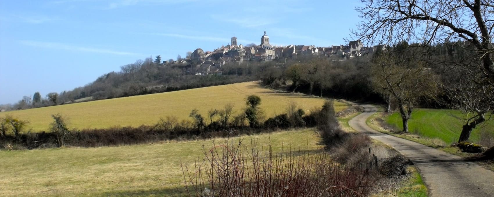
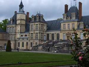
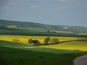
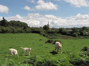
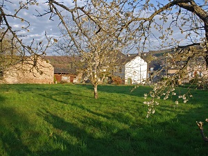
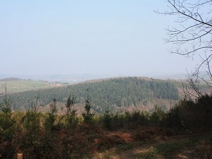
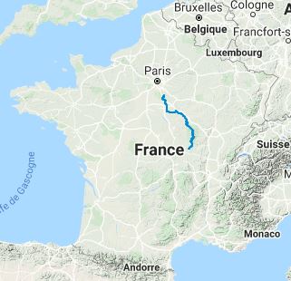
The GR®13 long-distance hiking trail traces a long, historic diagonal, linking the Gâtinais region in Seine-et-Marne to the Morvan massif in Saône-et-Loire. The landscape is one of spectacular progression, leaving behind the sandstone boulders and royal forests of the Gâtinais to reach the rugged granite plateau of the Morvan. The history of the trail is that of ancient communication routes, bearing witness to the links between the Paris region and the interior of the country. The flora encountered is extremely varied, ranging from the heathlands and oak groves of the Gâtinais to the vast beech and coniferous forests characteristic of the Morvan. The fauna is typical of the large inland forest massifs, with the presence of roe deer and wild boar, making the GR®13 an immersive journey through a contrasting natural and cultural heritage.
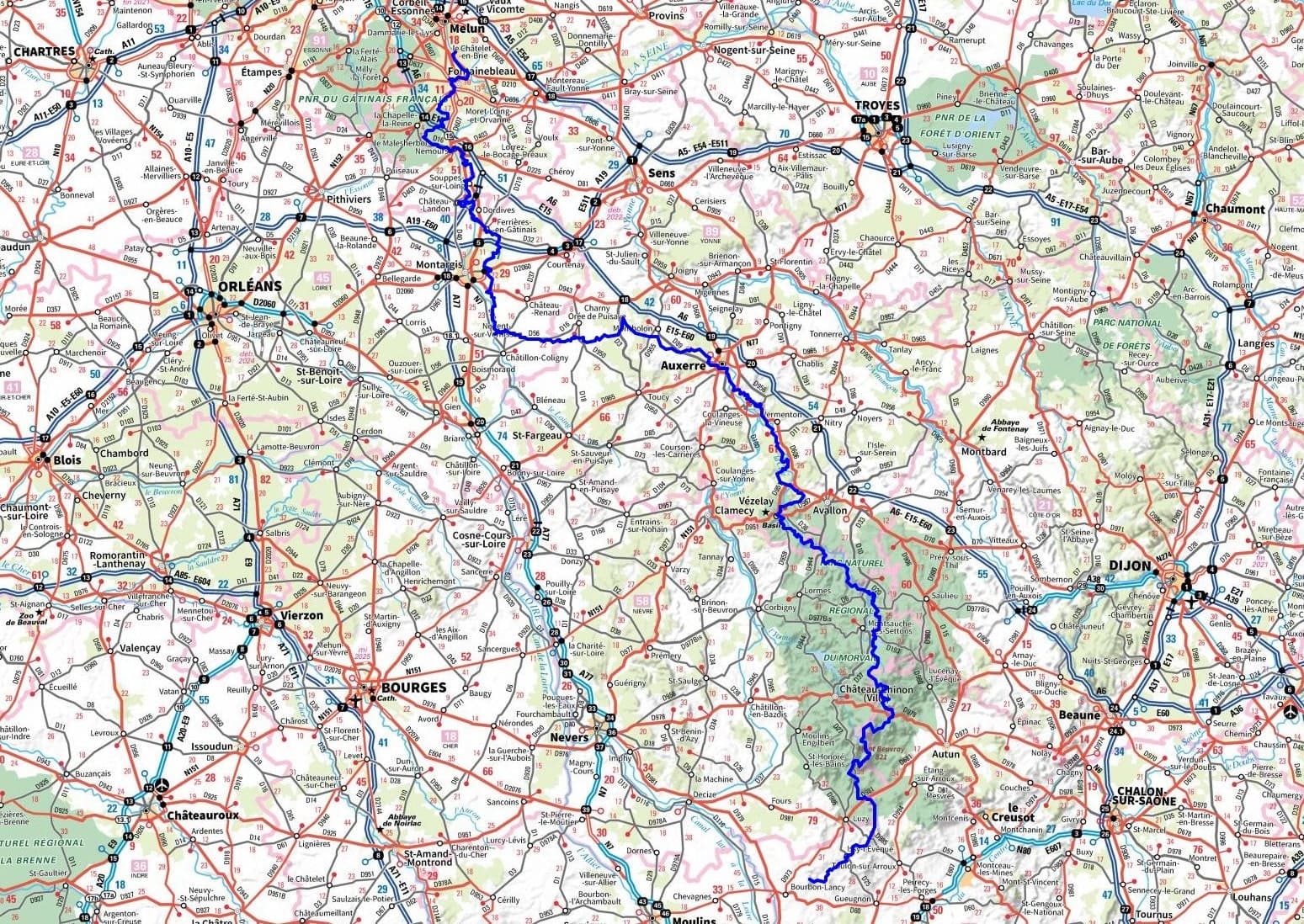
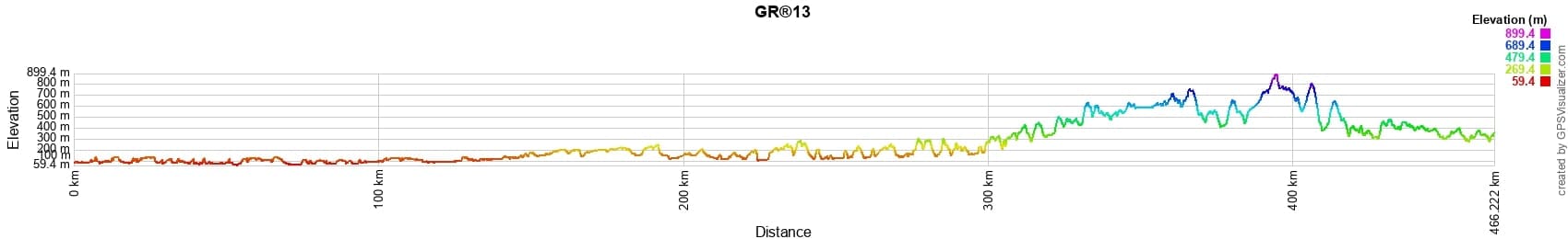
 Distance: 462km, Elevation maximum: 899m, Elevation minimum: 59m, Elevation gain uphill: 8158m
|
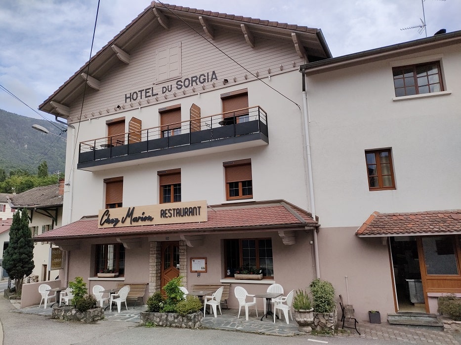
Lancrans: Hotel - Restaurant du Sorgia, 04 50 48 15 81, Email |

|
|
Beaufort-sur-Gervanne: Gîte d'étape La Belle Fortoise, Mr. Laurence Cousin, 06 14 24 51 83, Email |
|
Nearby paths:
![]() It is advisable to follow the beacons all along your hike and to bring the FFRandonnée topo-guide. You will also find information on MonGR.fr.
It is advisable to follow the beacons all along your hike and to bring the FFRandonnée topo-guide. You will also find information on MonGR.fr.
GR®, PR®, GRP®, and the corresponding signs of markings (white/red, yellow and yellow/red) are trademarks of the French Federation of Hiking. They may not be reproduced without permission. The French Federation of Hiking, state-approved, includes organizations that create and maintain hiking routes on GR®, PR® and GRP®. It publishes topo-guides for these hiking routes. With your donations, support the actions of the thousands of volunteer markers of the FFRandonnée.
GR-Infos.com is an editorial partner of MonGR.fr.
| Return |

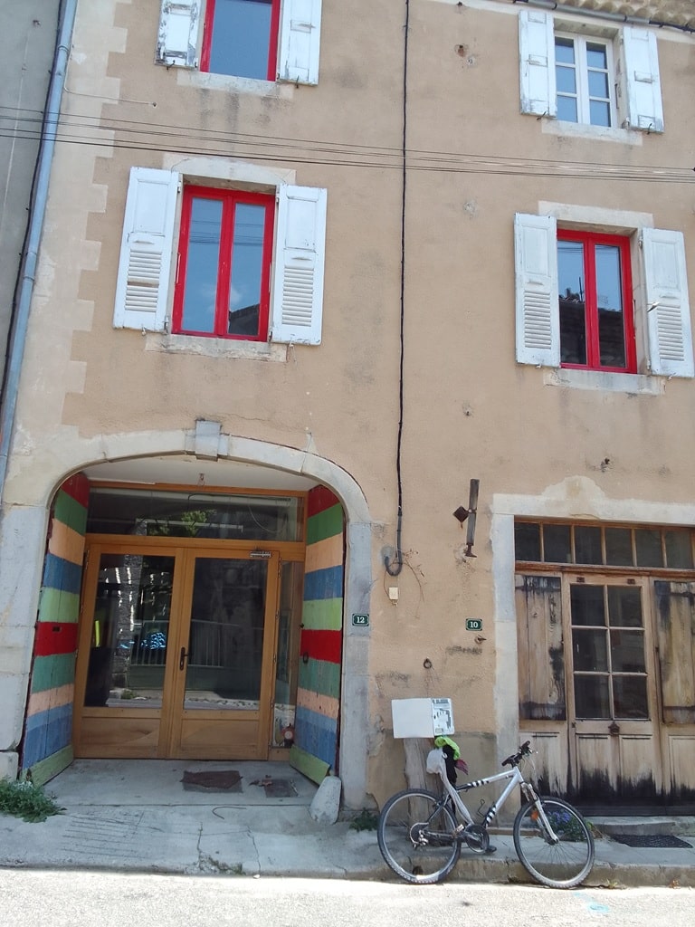
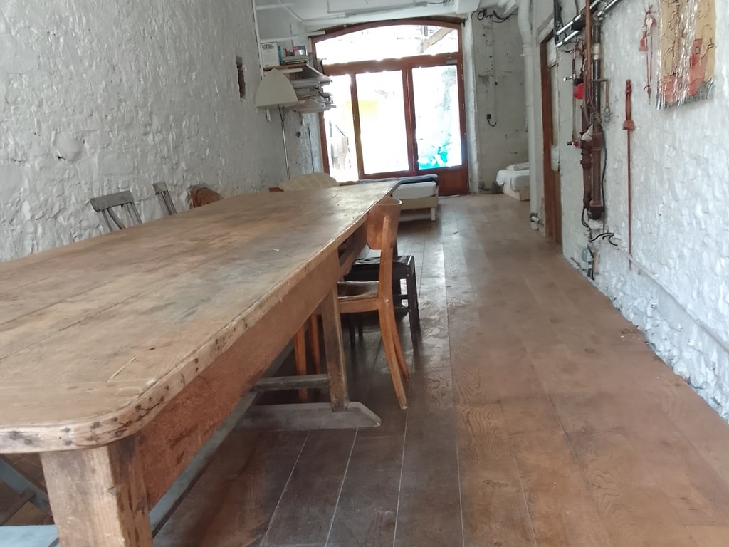
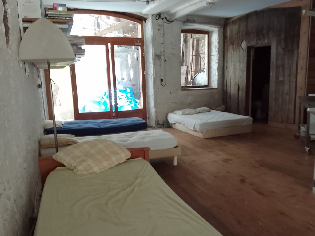
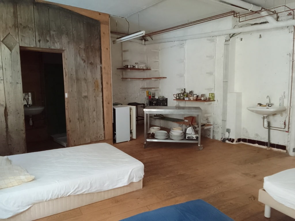
Former holiday hotel with a garden along the Allier, L'Etoile Guest House is located in La Bastide-Puylaurent between Lozere, Ardeche, and the Cevennes in the mountains of Southern France. At the crossroads of GR®7, GR®70 Stevenson Path, GR®72, GR®700 Regordane Way, GR®470 Allier River springs and gorges, GRP® Cevenol, Ardechoise Mountains, Margeride. Numerous loop trails for hiking and one-day biking excursions. Ideal for a relaxing and hiking getaway.
Copyright©gr-infos.com (Authorization for private use only)
To help us maintain and improve GR-Infos.com, a contribution of 2€ is desired via Wero or bank transfer. Thank you!