
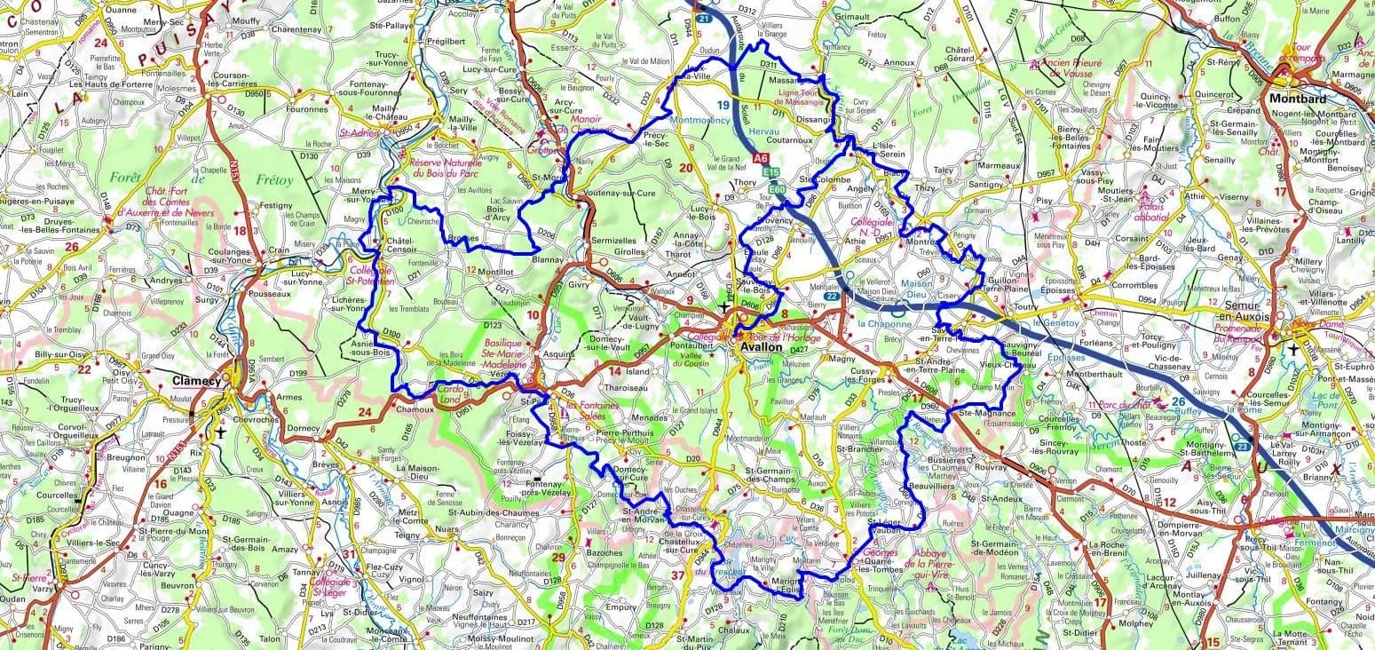
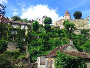
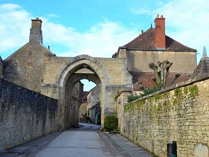
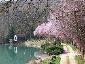
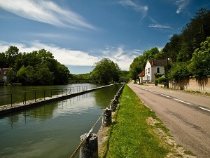
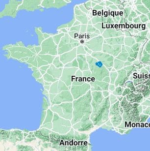
Starting from the timeless hill of Vézelay, whose magnificent basilica overlooks the Avallon region, the trail descends toward Asnières-sous-Bois before reaching the banks of the Yonne River at Châtel-Censoir. Here, the landscape is dramatically shaped by the limestone cliffs of Merry-sur-Yonne. Hikers can explore the prehistoric caves of Saint-Moré before entering the Serein Valley at L'Isle-sur-Serein. The path winds through Montréal, a fortified village that gazes out over the plain, and then into Guillon-Terre-Plaine, where the rural architecture retains all of its rustic authenticity. The route follows the foothills of the Morvan Regional Natural Park, passing through Saint-Léger-Vauban, the birthplace of Louis XIV's famous engineer, Vauban. It then leads to Quarré-les-Tombes, known for its mysterious stone sarcophagi nestled within a forest of beech and conifers. After skirting the tranquil lake of Marigny-l'Église and navigating the striking gorges of the Cure, the journey finally loops back toward Saint-Père and Vézelay.
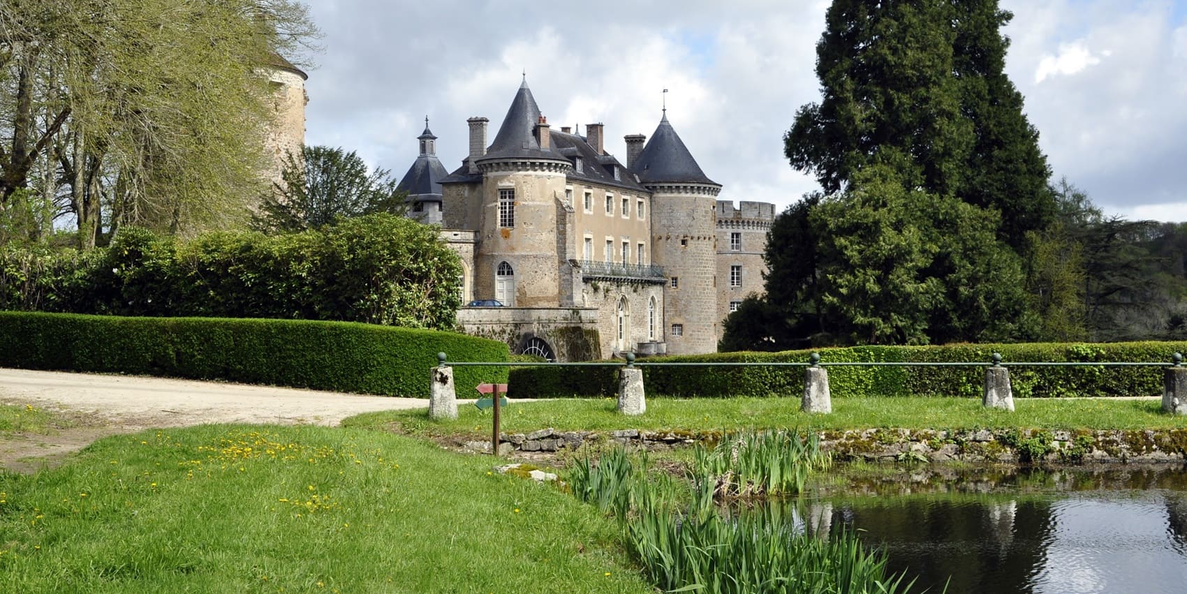
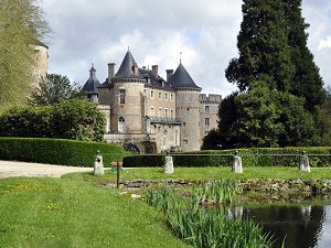
The Avallon region, situated on the border of the Yonne and Nièvre departments, is a fascinating transitional landscape where the limestone plateaus of Burgundy meet the initial granite foothills of the Morvan. Its capital, Avallon, is perched high on a rocky spur, offering commanding views of the Cousin Valley alongside terraced gardens that exude absolute serenity. The historical heritage here is monumental, beautifully embodied by the timeless hill of Vézelay and its Basilica of Sainte-Marie-Madeleine, a true masterpiece of Romanesque architecture. Nature expresses its power through steep-sided valleys and rushing rivers, providing an ideal setting for both vigorous hiking and peaceful contemplation. Between the dense forests of the Morvan Regional Natural Park and the charming villages like Montréal and Noyers-sur-Serein, history is deeply etched into every stone. It is a territory where the expansive silence of wide-open spaces blends perfectly with the richness of a prestigious medieval past.
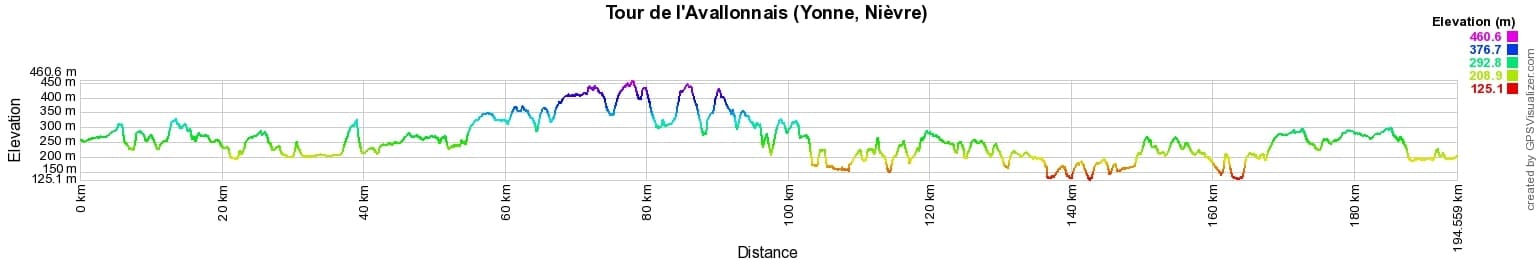
 Distance: 172km, Maximum altitude: 460m, Minimum altitude: 126m, Cumulative elevation gain: 3014m
IGN Maps: 2622SB - CLAMECY VARZY. 2721SB - VERMENTON JOUX-LA-VILLE. 2722ET - AVALLON VÉZELAY. 2821SB - L'ISLE-SUR-SEREIN SAINT-RÉMY. 2822OT - QUARRÉ-LES-TOMBES SAULIEU PNR DU MORVAN.
Nearby paths:
![]() It is advisable to follow the beacons all along your hike and to bring the FFRandonnée topo-guide. You will also find information on MonGR.fr.
It is advisable to follow the beacons all along your hike and to bring the FFRandonnée topo-guide. You will also find information on MonGR.fr.
GR®, PR®, GRP® and the corresponding markings are trademarks of the French Federation of Hiking. They may not be reproduced without permission. The French Federation of Hiking, state-approved, includes organizations that maintain hiking routes. It publishes guides for these routes. With your donations, support the actions of the thousands of volunteer markers of the FFRandonnée.
GR-Infos.com is an editorial partner of MonGR.fr.
| Return |

Former holiday hotel with a garden along the Allier, L'Etoile Guest House is located in La Bastide-Puylaurent between Lozere, Ardeche, and the Cevennes in the mountains of Southern France. At the crossroads of GR®7, GR®70 Stevenson Path, GR®72, GR®700 Regordane Way, GR®470 Allier River springs and gorges, GRP® Cevenol, Ardechoise Mountains, Margeride. Numerous loop trails for hiking and one-day biking excursions. Ideal for a relaxing and hiking getaway.
Copyright©gr-infos.com (Authorization for private use only)
To help us maintain and improve GR-Infos.com, a contribution of 2€ is desired via Wero or bank transfer. Thank you!