
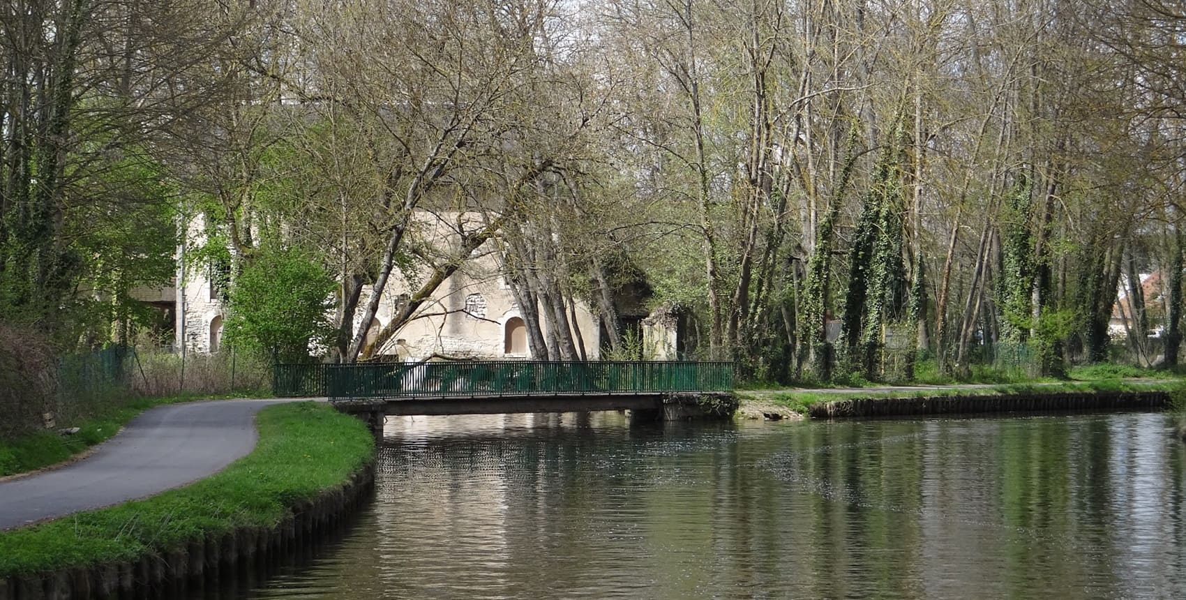
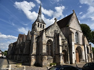
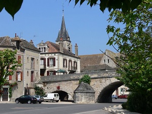
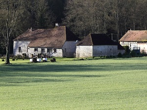
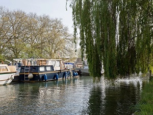
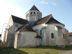
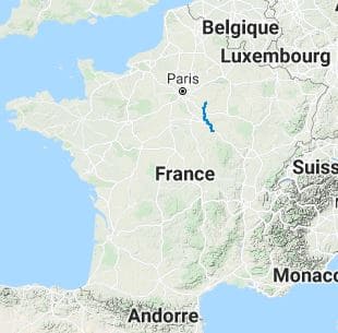
Between Île-de-France and Burgundy, the trail connects the medieval town of Provins to the city of art and history, Auxerre. This long-distance hiking trail, once a hub for trade, crosses the vast grain-growing plains of the Brie region before entering the Yonne Valley. Historically, this route follows in the footsteps of the merchants who frequented the famous Champagne fairs in the Middle Ages, linking the Paris Basin to the Burgundian lands. Built heritage is the common thread of this hike: from the imposing ramparts and watchtowers of Provins to the Gothic churches that dot the route. Along the way, hikers discover the understated charm of towns like Sens, famous for its Saint-Étienne Cathedral, the first Gothic cathedral in France. The arrival in Auxerre, with its half-timbered houses overlooking the Yonne River, provides a magnificent finale to this journey through culture and rural life.
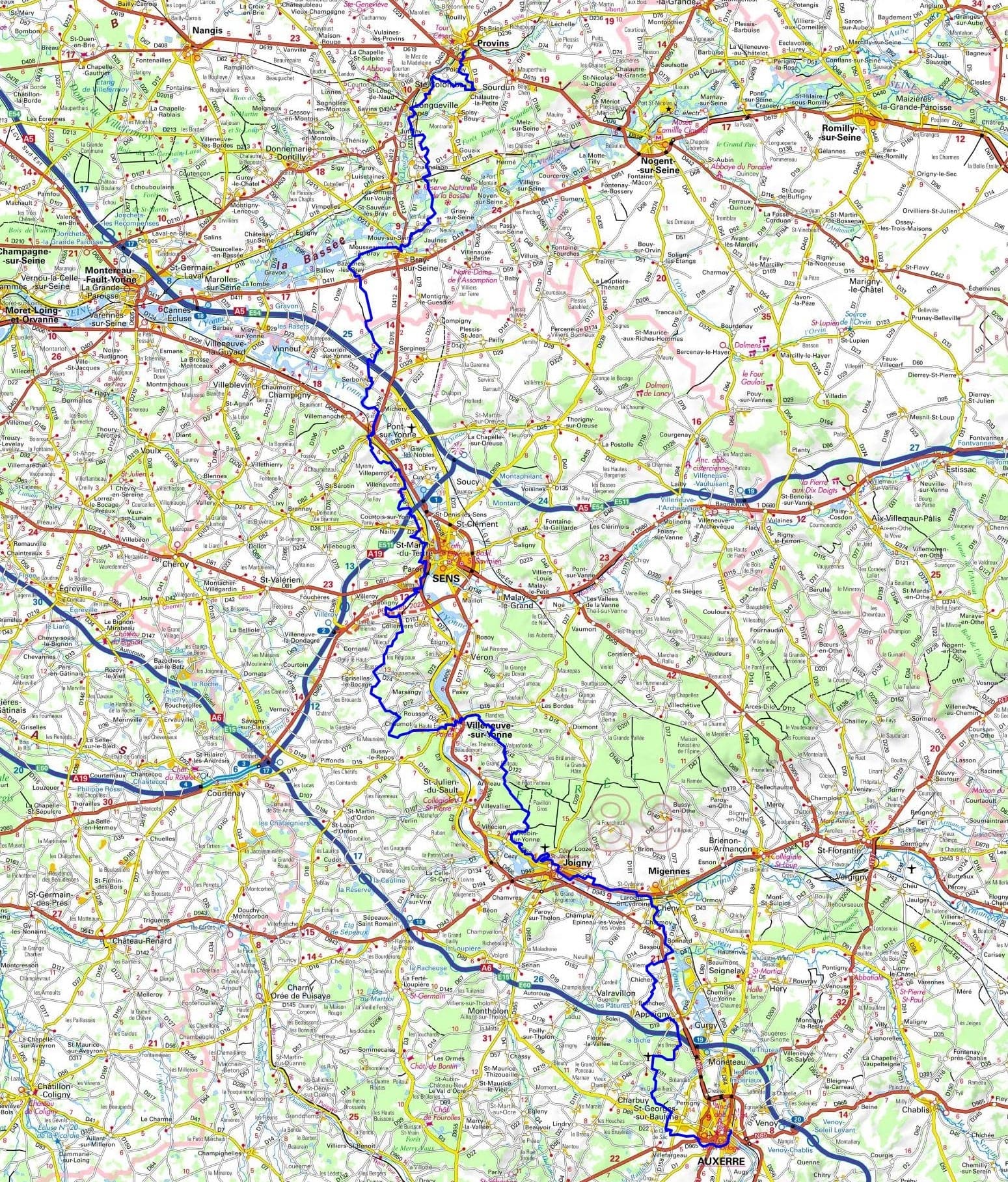
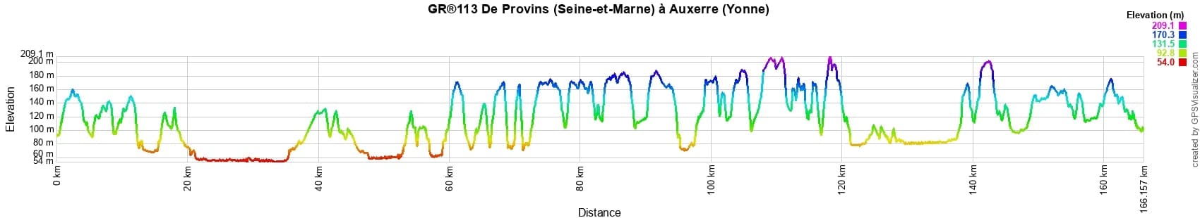
 Distance: 165km, Elevation maximum: 209m, Elevation minimum: 54m, Elevation gain uphill: 2286m
IGN Maps: 2616SB - PROVINS / NOGENT-SUR-SEINE. 2516SB - NANGIS / DONNEMARIE / DONTILLY. 2518SB - LORREZ-LE-BOCAGE-PREAUX / SAINT-VALERIEN. 2519SB - COURTENAY / CHATEAURENARD. 2617SB - BRAY-SUR-SEINE / SERGINES. 2618SB - SENS / VILLENEUVE-L'ARCHEVEQUE / CERISIERS. 2619SB - JOIGNY / MIGENNES. 2720SB - CHABLIS / CHAMPS-SUR-YONNE. 2620SB - AUXERRE / TOUCY.
Nearby paths:
![]() It is advisable to follow the beacons all along your hike and to bring the FFRP topo-guide. You will also find information on MonGR.fr.
It is advisable to follow the beacons all along your hike and to bring the FFRP topo-guide. You will also find information on MonGR.fr.
® The GR® GRP® PR acronyms, as well as the corresponding trail signs (white/red, yellow and yellow/red), are trademarks of the Fédération Française de la Randonnée Pédestre. They may not be reproduced without its permission. The FFRP, recognized as being of public utility, groups together the associations which create and maintain the hiking routes on the GR® GRP® PR. It publishes topo-guides for these hiking routes. With your donations, support the actions of the thousands of volunteer markers of the FFRP.
GR-Infos.com is an editorial partner of MonGR.fr.
| Return |

Former holiday hotel with a garden along the Allier, L'Etoile Guest House is located in La Bastide-Puylaurent between Lozere, Ardeche and the Cevennes in the mountains of Southern France. At the crossroads of GR®7, GR®70 Stevenson trail, GR®72, GR®700 Regordane way, GR®470 Springs and Gorges of the Allier river, GRP® Cevenol, Ardechoise mountain, Margeride. Many loop routes for hiking and cycling for a day. Ideal for a relaxing and hiking stay.
Copyright©gr-infos.com (Authorization of use for private purposes only)
To help us maintain and improve GR-Infos.com, a contribution of 2€ is desired via Wero or bank transfer. Thank you!