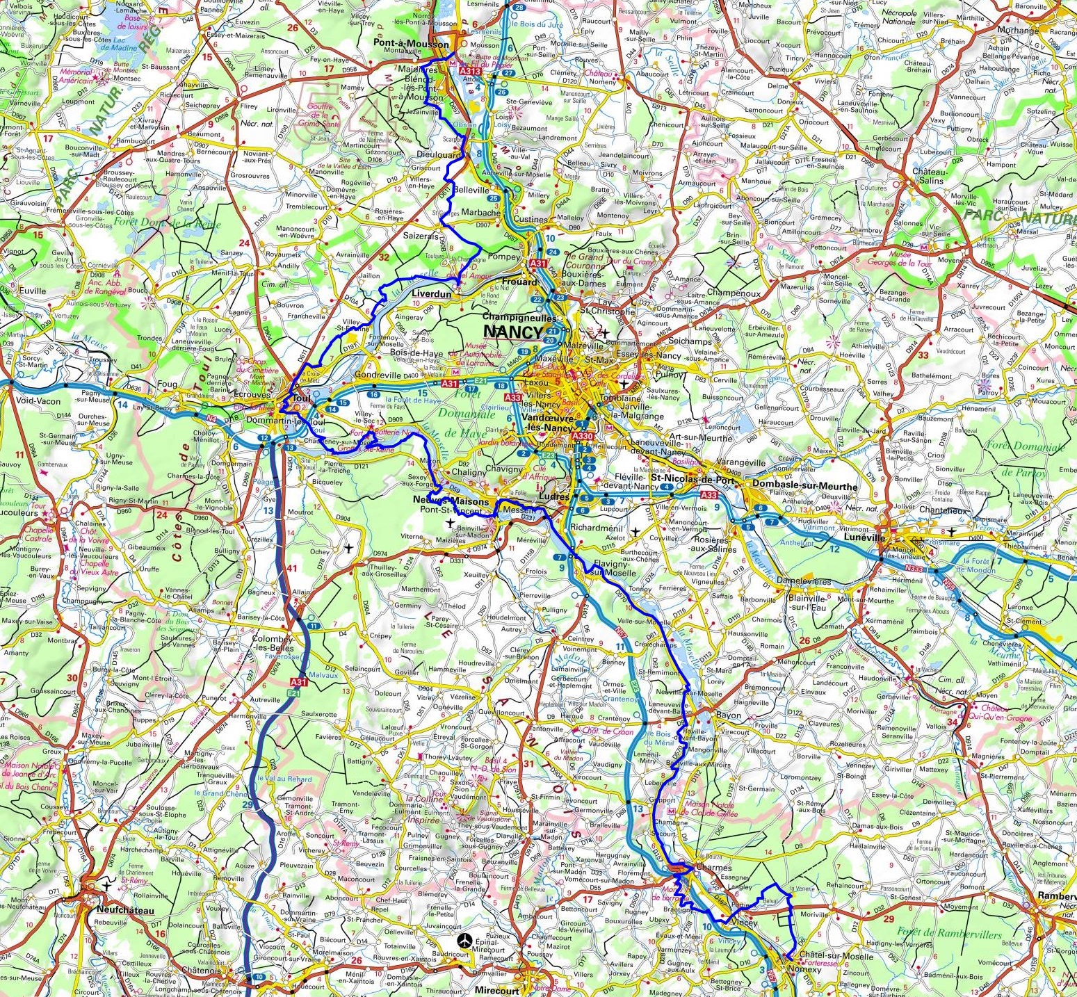
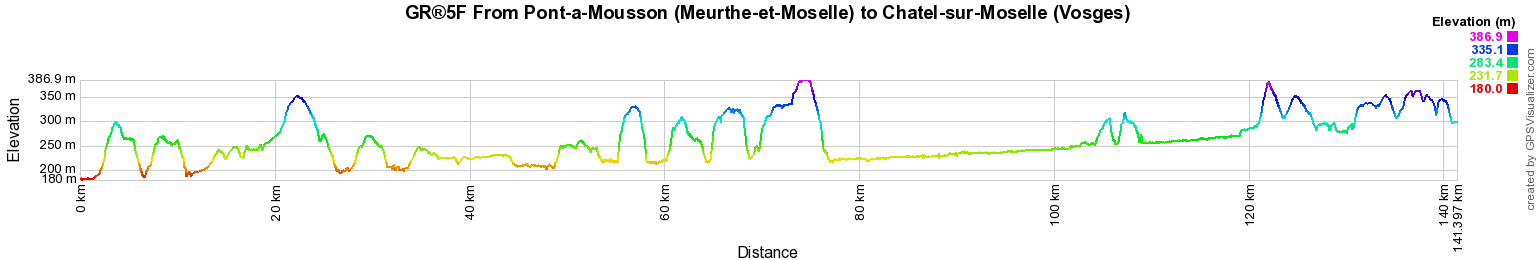
GR®5F
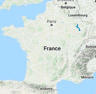
From Pont-a-Mousson (Meurthe-et-Moselle) to Chatel-sur-Moselle (Vosges)
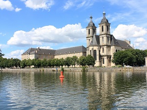
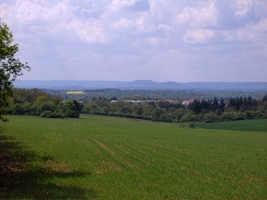
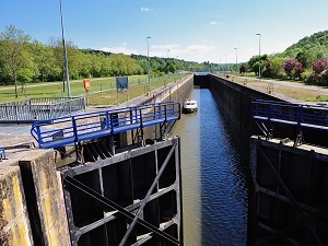
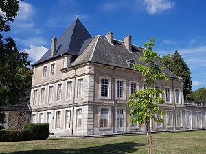
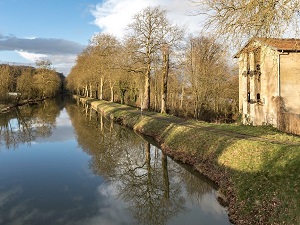
Moselle Valley
141km
|
141km
|
|
 © GPX Private use only |
Distance: 141km, Elevation maximum: 387m, Elevation minimum: 180m, Elevation gain uphill: 1687m
IGN Maps: 3314SB - PONT-A-MOUSSON / THIAUCOURT-REGNIEVILLE. 3315ET - NANCY / TOUL / FORET DE HAYE. 3316SB - VEZELISE / COLOMBEY-LES-BELLES. 3416SB - BAYON / FLAVIGNY-SUR-MOSELLE. 3417SB - MIRECOURT/CHARMES.
Registration Accommodation or business owner on or near a GR®, you can appear on GR-INFOS For your registration, you can send me by email (papadimitriou4@gmail.com): your address and phone number, your website (Facebook page), a brief description with 5 beautiful photos of your establishment. Registration price : 100€/5 years per GR® or GRP®. Renewable. |
|
GR®5F Moselle Valley
From Apach (Moselle) to Pont-a-Mousson (Meurthe-et-Moselle)
From Pont-a-Mousson (Meurthe-et-Moselle) to Chatel-sur-Moselle (Vosges)
From Chatel-sur-Moselle (Vosges) to Bussang (Vosges)
![]() It is advisable to follow the beacons all along your hike and to bring you the FFRandonnee topo-guide. You
will also find information on MonGR.fr.
It is advisable to follow the beacons all along your hike and to bring you the FFRandonnee topo-guide. You
will also find information on MonGR.fr.
GR®, PR®, GRP®, and the corresponding signs of markings (white / red, yellow and yellow / red) are trademarks of the French Federation of Hiking. They may not be reproduced without permission. The French Federation of Hiking, state-approved, includes organizations that create and maintain hiking routes on GR®, PR® and GRP®. It publishes guides these topo hiking routes.
With your donations, support the actions of the thousands of volunteer markers of the FFRandonnee.
GR-Infos.com is an editorial partner of MonGR.fr.
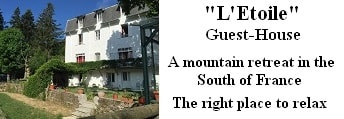
Old romantic Hotel, L'Etoile Guest-House is a mountain retreat in the South of France. With a beautiful park along the Allier River, L'Etoile Guesthouse is located in La Bastide-Puylaurent between Lozere, Ardeche and Cevennes. Many hiking trails like GR®7, GR®70 Stevenson trail, GR®72, GR®700 Regordane way, Cevenol, GR®470 Allier River Springs and Gorges, Margeride, Ardechoise. Many hiking loops. The right place to relax.
Copyright©gr-infos.com (Authorization for private use only)