
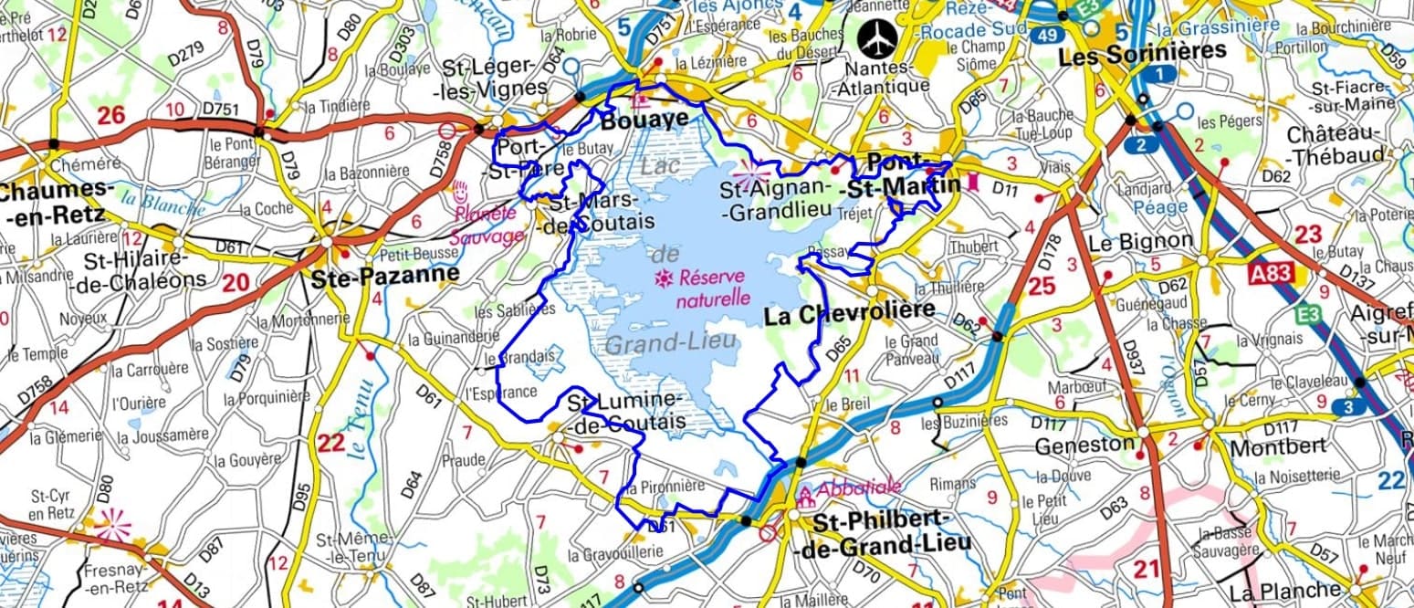
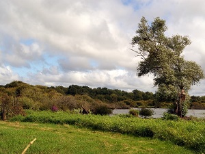
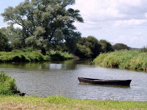
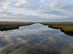
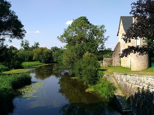
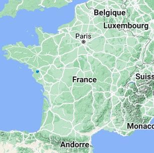
Starting in Bouaye, this loop around Lake Grand-Lieu offers a rare immersion in France's largest bird sanctuary during winter. The trail passes through Saint-Aignan-Grandlieu and Pont-Saint-Martin, where the banks of the Ognon River reveal an ancient hydraulic heritage. In La Chevrolière, the fishing village of Passay bears witness to a unique lakeside culture, before reaching Saint-Philbert-de-Grand-Lieu and its 9th-century Carolingian abbey church, a jewel of religious architecture. The route continues towards Saint-Lumine-de-Coutais, offering elevated viewpoints over the vast reedbeds and floodplains. Between Saint-Mars-de-Coutais and Port-Saint-Père, nature reclaims its territory in a mosaic of marshes where grey herons and spoonbills thrive.
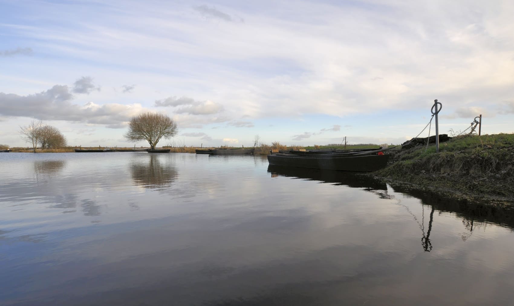
Lake Grand-Lieu is the largest natural lake on the French plains. In winter, the lake is fed by the waters of the Loire and surrounding rivers. It then reaches an area of 6,000 hectares. In summer, the waters of the lake evaporate and its surface area decreases to approximately 1,000 hectares. Lake Grand-Lieu is of great ecological importance. It is an important habitat for many bird species, including the grey heron, white stork and mallard duck. The lake is also a spawning ground for fish, including pike, zander and eel.
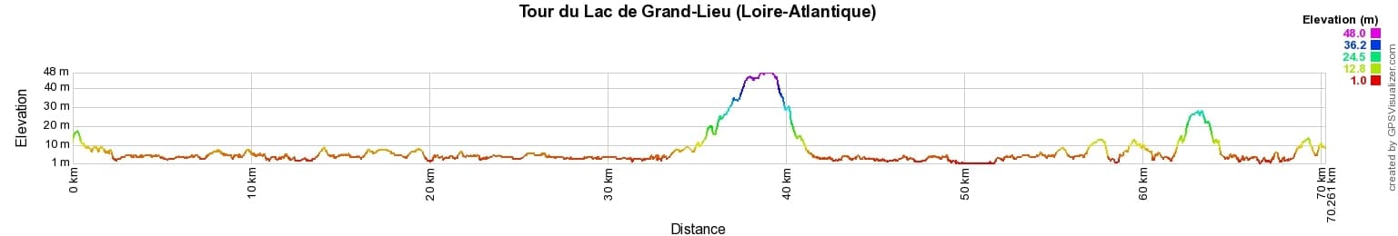
 Distance: 70km, Maximum elevation: 48m, Minimum elevation: 1m, Total ascent: 130m
IGN Maps: 1223SB - NANTES SAINT-HERBLAIN. 1124SB - SAINT-ÉTIENNE-DE-MONTLUC LA BERNERIE-EN-RETZ. 1224SB - SAINT-PHILBERT-DE-GRAND-LIEU LES SORINIÈRES.
Nearby paths:
![]() It is advisable to follow the trail markers all along your hike and to bring the FFRandonnée topo-guide. You will also find information on MonGR.fr.
It is advisable to follow the trail markers all along your hike and to bring the FFRandonnée topo-guide. You will also find information on MonGR.fr.
GR®, PR®, GRP® and the corresponding markings are trademarks of the French Federation of Hiking. They may not be reproduced without permission. The French Federation of Hiking, state-approved, includes organizations that maintain hiking routes. It publishes guides for these routes. With your donations, support the actions of the thousands of volunteer markers of the FFRandonnée.
GR-Infos.com is an editorial partner of MonGR.fr.
| Return |

Former holiday hotel with a garden along the Allier, L'Etoile Guest House is located in La Bastide-Puylaurent between Lozere, Ardeche, and the Cevennes in the mountains of Southern France. At the crossroads of GR®7, GR®70 Stevenson Path, GR®72, GR®700 Regordane Way, GR®470 Allier River springs and gorges, GRP® Cevenol, Ardechoise Mountains, Margeride. Numerous loop trails for hiking and one-day biking excursions. Ideal for a relaxing and hiking getaway.
Copyright©gr-infos.com (Authorization for private use only)
To help us maintain and improve GR-Infos.com, a contribution of 2€ is desired via Wero or bank transfer. Thank you!