
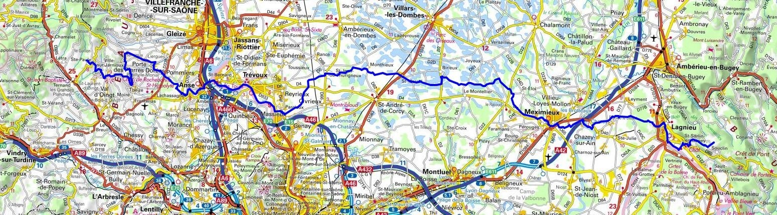
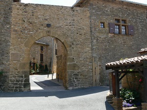
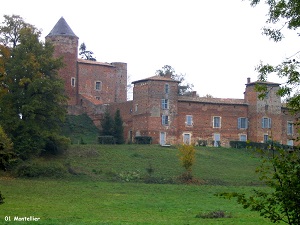
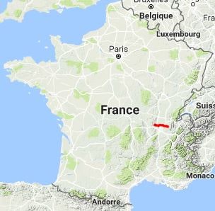
From Sainte-Paule to Fay Pass, this hike traverses the natural and historical region of the Dombes across the Rhône and Ain departments. The route passes through charming towns and villages, including Val d'Oingt, Theizé, Ville-sur-Jarnioux, Porte des Pierres Dorées, Anse, Saint-Bernard, Trévoux, Parcieux, Saint-Jean-de-Thurigneux, Monthieux, Saint-Marcel, Le Montellier, Pérouges, Meximieux, Chazey-sur-Ain, Lagnieu, and Saint-Sorlin-en-Bugey.

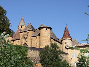
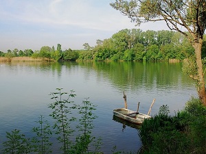
The Dombes, primarily located in the Ain department (Auvergne-Rhône-Alpes) and historically extending into part of the Rhône, is a unique natural region in France, world-renowned for its plateau of over a thousand ponds. These water bodies, created by humans as early as the Middle Ages, are the backbone of its economy and identity, particularly for fish farming (raising carp, pike, and tench) and ornithology, as the Dombes is a major stopover for migratory birds. The landscape is a mosaic of water bodies, forests, and fields, providing an exceptional setting for biodiversity. Its history is marked by the former Principality of Dombes, with its capital in Trévoux (now in Ain), preserving a rich medieval and architectural heritage.

 Distance: 99km, Elevation maximum: 709m, Elevation minimum: 166m, Elevation gain uphill: 1320m
IGN Maps: Villefranche-sur-Saône Vallée de l'Azergues Beaujolais (2930ET). Villars-les-Dombes (3030E). Villefranche-sur-Saône (3030O). Ambérieu-en-Bugey (3130E). Meximieux (3130O). Ambérieu-en-Bugey Champagne-en-Valromey Massif du Bugey (3231OT).
Nearby paths:
![]() It is advisable to follow the trail markers all along your hike and to bring the FFRandonnée topo-guide. You will also find information on MonGR.fr.
It is advisable to follow the trail markers all along your hike and to bring the FFRandonnée topo-guide. You will also find information on MonGR.fr.
GR®, PR®, GRP® and the corresponding markings are trademarks of the French Federation of Hiking. They may not be reproduced without permission. The French Federation of Hiking, state-approved, includes organizations that maintain hiking routes. It publishes guides for these routes. With your donations, support the actions of the thousands of volunteer markers of the FFRandonnée.
GR-Infos.com is an editorial partner of MonGR.fr.
| Return |

Former holiday hotel with a garden along the Allier, L'Etoile Guest House is located in La Bastide-Puylaurent between Lozere, Ardeche, and the Cevennes in the mountains of Southern France. At the crossroads of GR®7, GR®70 Stevenson Path, GR®72, GR®700 Regordane Way, GR®470 Allier River springs and gorges, GRP® Cevenol, Ardechoise Mountains, Margeride. Numerous loop trails for hiking and one-day biking excursions. Ideal for a relaxing and hiking getaway.
Copyright©gr-infos.com (Authorization for private use only)
To help us maintain and improve GR-Infos.com, a contribution of 2€ is desired via Wero or bank transfer. Thank you!