
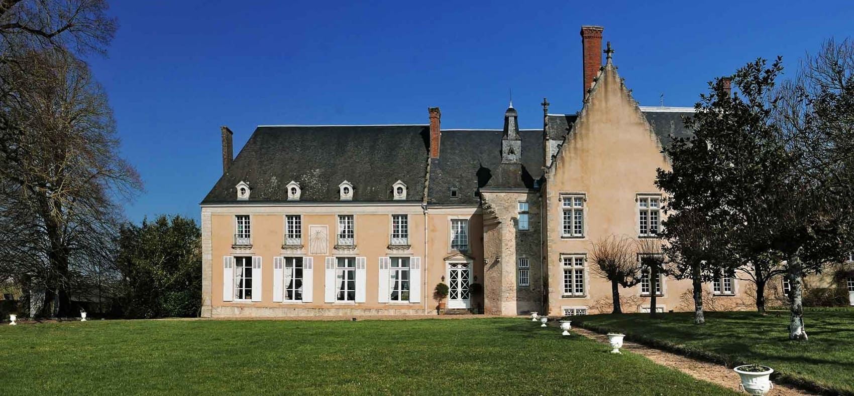
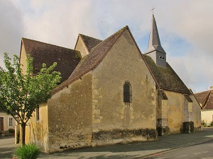
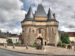
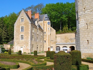
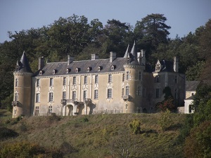
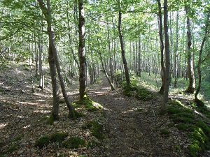
The GR®235 is distinguished by its gentle terrain, characterized by the rolling hills of the Maine region, where alluvial plains alternate with wooded slopes. It follows ancient rural paths that once connected local estates and small farms, bearing witness to a rich and well-preserved rural life. Architectural heritage dots the route with elegant discretion, featuring manor houses built of Ronsard stone, village churches with timeless charm, and the remains of old mills along the waterways. Nature is ever-present in the well-structured bocage landscape, with hedgerows providing havens for rich local biodiversity. In the Vallée de la Flotte, the landscape becomes more secluded, marked by a soothing forest atmosphere and wetlands where typical riverbank flora flourishes.
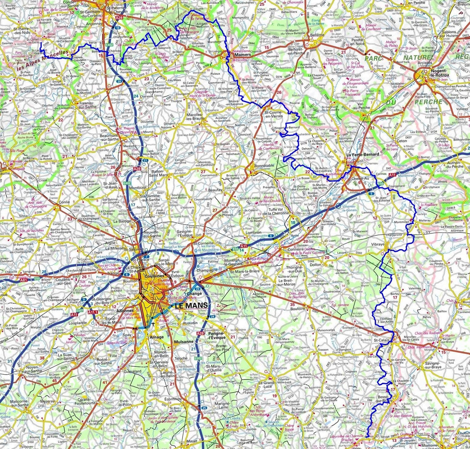
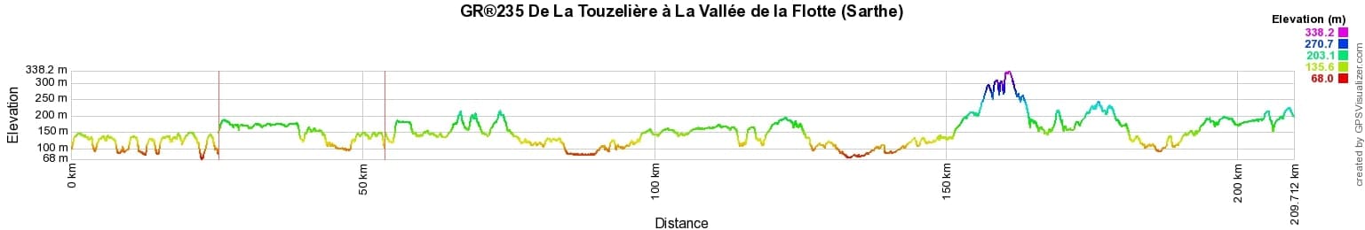
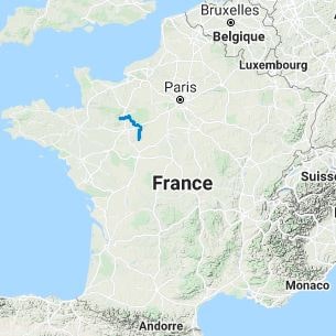
 Distance: 210.91km, Elevation maximum: 245m, Elevation minimum: 67m, Elevation gain uphill: 1367m
IGN Maps: Bouloire - IGN 1819E. Montoire-Sur-Le-Loir - IGN 1920O. Foret de Perseigne PNR Normandie-Maine (1717OT). Mamers (1817O). Foret de Belleme Mamers (1817OT). La Ferte-Bernard (1818E). Bonnetable (1818O). La Chartre-sur-le-Loir (1820E). Authon-du-Perche (1918O). St-Calais (1919O).
Nearby paths:
![]() It is advisable to follow the beacons throughout your hike and to bring the FFRandonnée topo-guide. You will also find information on MonGR.fr.
It is advisable to follow the beacons throughout your hike and to bring the FFRandonnée topo-guide. You will also find information on MonGR.fr.
GR®, PR®, GRP®, and the corresponding signs of markings (white / red, yellow and yellow / red) are trademarks of the French Federation of Hiking. They may not be reproduced without permission. The French Federation of Hiking, state-approved, includes organizations that create and maintain hiking routes on GR®, PR® and GRP®. It publishes guides for these topo hiking routes. With your donations, you support the actions of the thousands of FFRandonnée volunteer markers.
GR-Infos.com is an editorial partner of MonGR.fr.
| Return |

Former holiday hotel with a garden along the Allier, L'Etoile Guest House is located in La Bastide-Puylaurent between Lozere, Ardeche, and the Cevennes in the mountains of Southern France. At the crossroads of GR®7, GR®70 Stevenson Path, GR®72, GR®700 Regordane Way, GR®470 Allier River springs and gorges, GRP® Cevenol, Ardechoise Mountains, Margeride. Numerous loop trails for hiking and one-day biking excursions. Ideal for a relaxing and hiking getaway.
Copyright©gr-infos.com (Authorization for private use only)
To help us maintain and improve GR-Infos.com, a contribution of 2€ is desired via Wero or bank transfer. Thank you!