
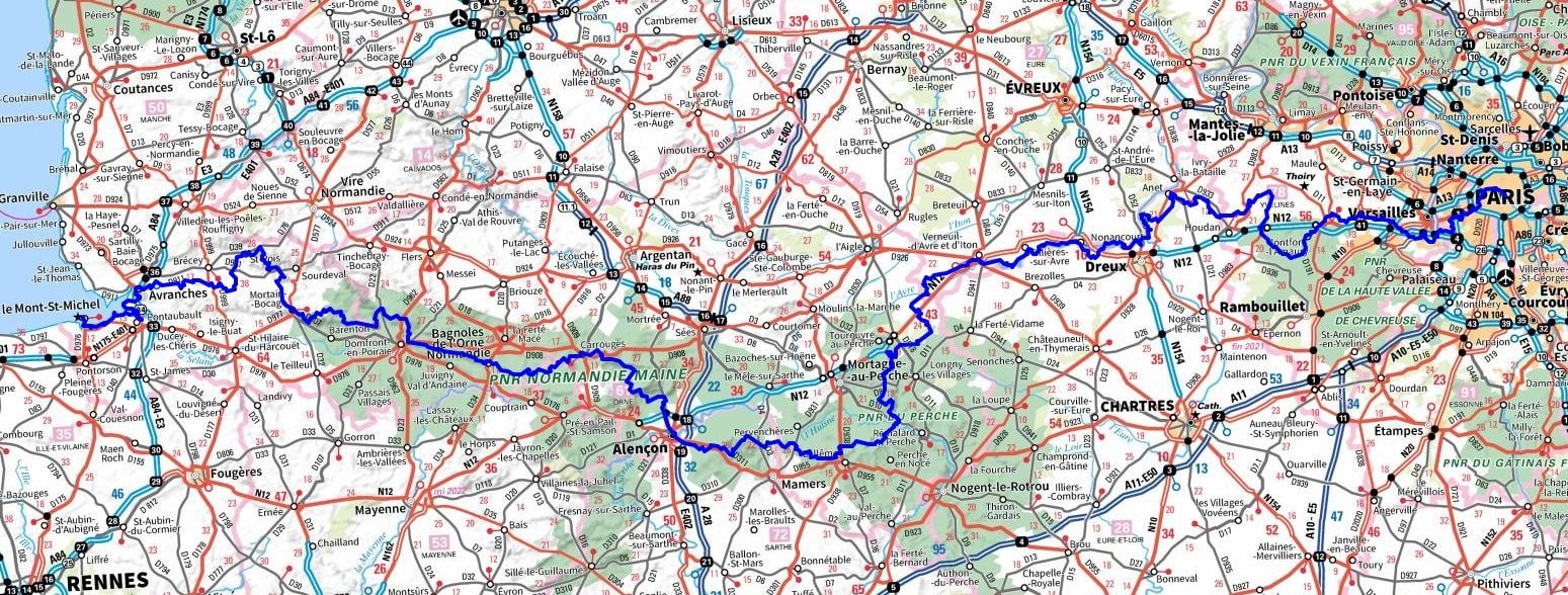
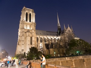
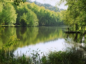
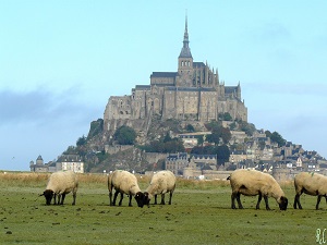
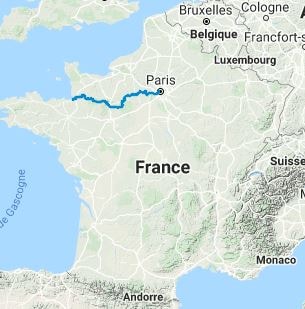
The GR®22 weaves its way through richly irrigated landscapes, providing a sanctuary for diverse wildlife. Amidst the interplay of fresh and saltwater, hikers may be fortunate enough to spot colonies of seals or perhaps even dolphins. The trail also traverses protected natural habitats teeming with wild flora. As the trail winds through forests, valleys, and hedgerows, it presents a tapestry of varied landscapes and ecosystems. Spanning a distance of 567 km and cutting across 6 departments, the GR®22 embarks on its journey from the square of Notre-Dame in Paris and culminates in Normandy at the Mont Saint-Michel. The trail navigates through a range of terrains, from the undulating hills of Perche to the expansive forests of Orne, and meanders through the South Channel, a land steeped in granite, moors, and legends. Historically, the GR®22 has been a well-trodden path for many pilgrims, known as the miquelots, from the early Middle Ages (9th–11th centuries) to the present day.

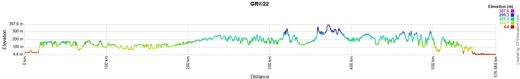
 Distance: 567km, Elevation maximum: 398m, Elevation minimum: 4m, Elevation gain uphill: 7295m
IGN Maps: Aubergenville Guerville (2114E). Versailles forets de Marly and de St-Germain (2214ET). Foret de Rambouillet PNR de la Haute-Vallee de Chevreuse (2215OT). Paris forets de Meudon and de Fausses Reposes (2314OT).
|
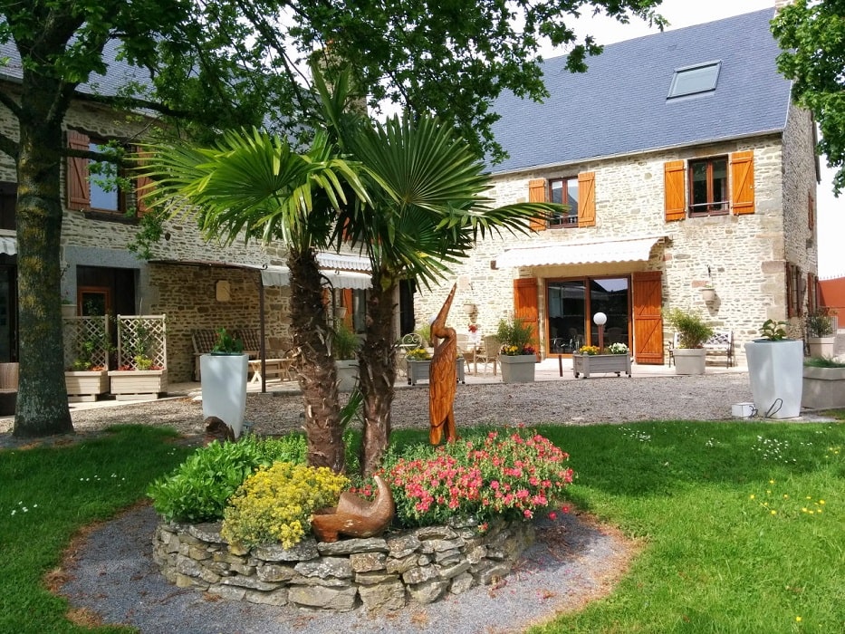
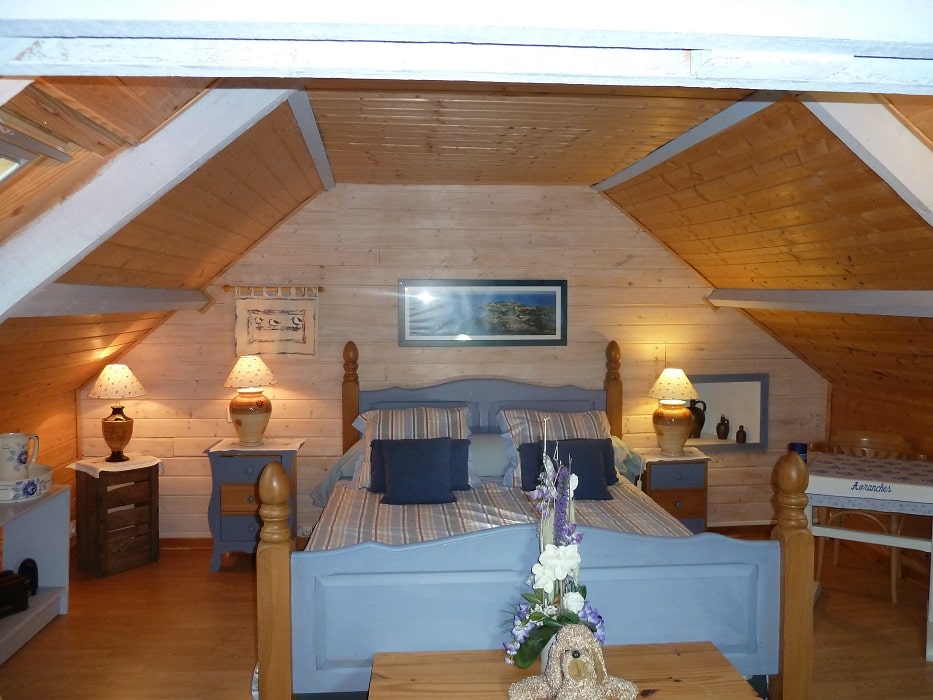
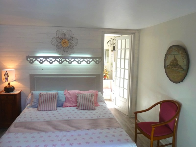
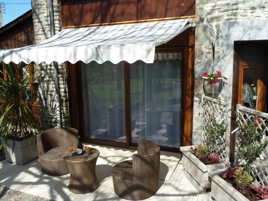
Ceaux: Les Bruyeres du Mont Guest House, M. Campain, 06 58 84 71 51 |

 |
![]() It is advisable to follow the beacons all along your hike and to bring the FFRandonnee topo-guide. You will also find information on MonGR.fr.
It is advisable to follow the beacons all along your hike and to bring the FFRandonnee topo-guide. You will also find information on MonGR.fr.
GR®, PR®, GRP®, and the corresponding signs of markings (white/red, yellow and yellow/red) are trademarks of the French Federation of Hiking. They may not be reproduced without permission. The French Federation of Hiking, state-approved, includes organizations that create and maintain hiking routes on GR®, PR® and GRP®. It publishes guides for these topo hiking routes. With your donations, support the actions of the thousands of volunteer markers of the FFRandonnee.
GR-Infos.com is an editorial partner of MonGR.fr.
| Return |

Former holiday hotel with a garden along the Allier, L'Etoile Guest House is located in La Bastide-Puylaurent between Lozere, Ardeche, and the Cevennes in the mountains of Southern France. At the crossroads of GR®7, GR®70 Stevenson Path, GR®72, GR®700 Regordane Way, GR®470 Allier River springs and gorges, GRP® Cevenol, Ardechoise Mountains, Margeride. Numerous loop trails for hiking and one-day biking excursions. Ideal for a relaxing and hiking getaway.
Copyright©gr-infos.com (Authorization for private use only)
To help us maintain and improve GR-Infos.com, a contribution of 2€ is desired via Wero or bank transfer. Thank you!