
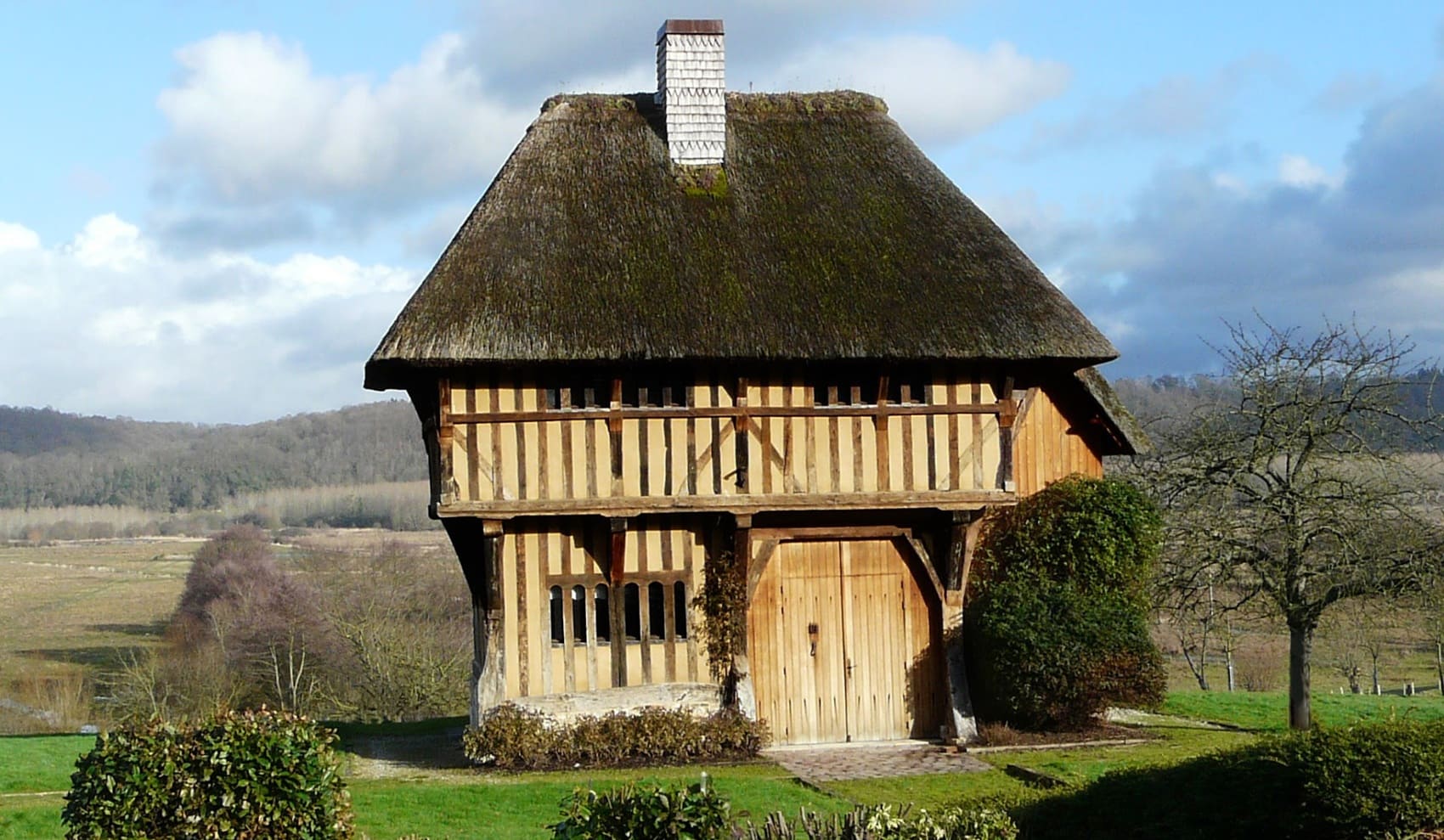
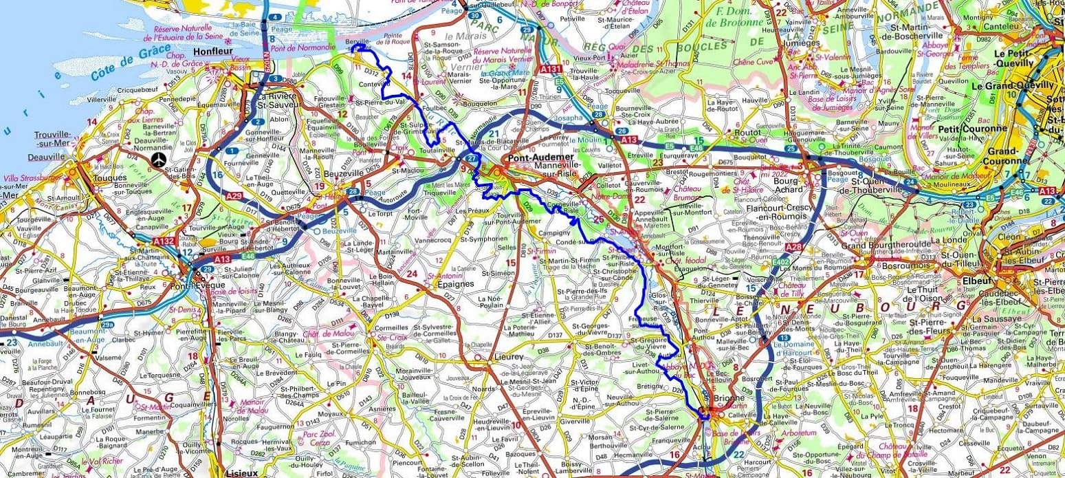
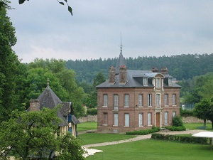
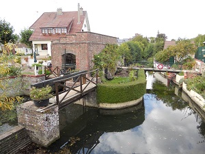
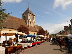
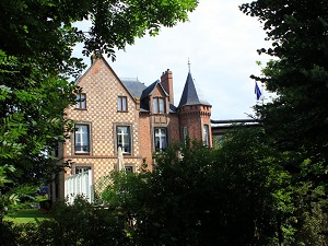
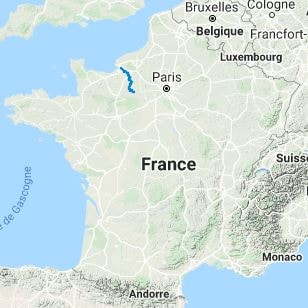
The GR®224, nicknamed the "Risle Valley Trail," crosses the Eure department, linking the Seine estuary to the medieval town of Verneuil d'Avre et d'Iton. It follows the winding course of the Risle River, which shaped the region's industrial and artisanal history through its numerous mills and tanneries. The built heritage is exceptional: from the Bec-Hellouin Abbey, a jewel of Norman monastic architecture, to the half-timbered houses of Pont-Audemer, known as the "Norman Venice." The landscapes are characterized by their gentle beauty, alternating between estuary cliffs, the wetlands of the Marais-Vernier, and dense forests like the Montfort Forest. Nature lovers will also pass through protected areas where white storks thrive and a variety of wetland flora is preserved. Heading south, the terrain softens to reveal the medieval heritage of Conches-en-Ouche and the military remains of Verneuil-sur-Avre.
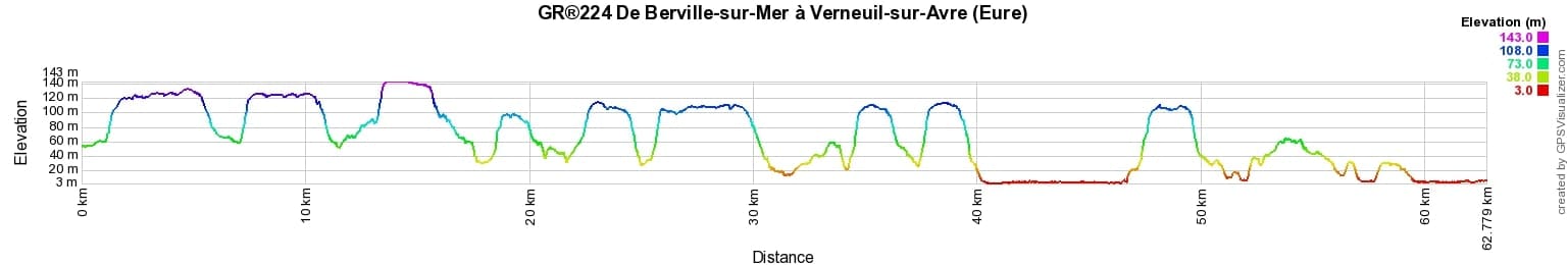
 Distance: 154km, Elevation maximum: 212m, Elevation minimum: 3m, Elevation gain uphill: 1715m
IGN Maps: Pont-Audemer Tancarville PNR des Boucles de la Seine Normande (1811OT). Brionne (1812E). Bernay (1813E). Bourgtheroulde-Infreville (1912O). Beaumont-le-Roger (1913O). Rugles (1814E). La Neuve-Lyre (1914O). Verneuil d'Avre et d'Iton (1915E). Bourth (1915O).
Nearby paths:
![]() It is advisable to follow the beacons throughout your hike and to bring the FFRandonnée topo-guide. You will also find information on MonGR.fr.
It is advisable to follow the beacons throughout your hike and to bring the FFRandonnée topo-guide. You will also find information on MonGR.fr.
GR®, PR®, GRP®, and the corresponding signs of markings (white / red, yellow and yellow / red) are trademarks of the French Federation of Hiking. They may not be reproduced without permission. The French Federation of Hiking, state-approved, includes organizations that create and maintain hiking routes on GR®, PR® and GRP®. It publishes guides for these topo hiking routes. With your donations, you support the actions of the thousands of FFRandonnée volunteer markers.
GR-Infos.com is an editorial partner of MonGR.fr.
| Return |

Former holiday hotel with a garden along the Allier, L'Etoile Guest House is located in La Bastide-Puylaurent between Lozere, Ardeche, and the Cevennes in the mountains of Southern France. At the crossroads of GR®7, GR®70 Stevenson Path, GR®72, GR®700 Regordane Way, GR®470 Allier River springs and gorges, GRP® Cevenol, Ardechoise Mountains, Margeride. Numerous loop trails for hiking and one-day biking excursions. Ideal for a relaxing and hiking getaway.
Copyright©gr-infos.com (Authorization for private use only)
To help us maintain and improve GR-Infos.com, a contribution of 2€ is desired via Wero or bank transfer. Thank you!