
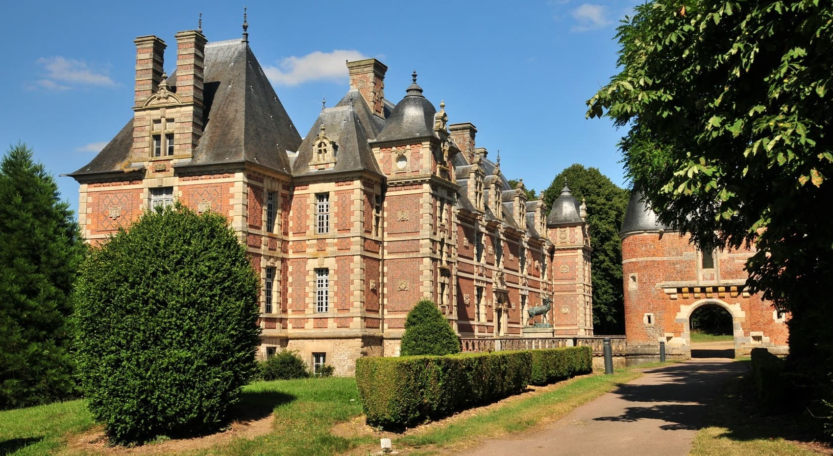
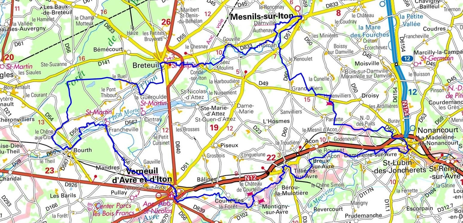
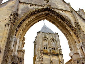
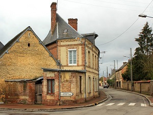
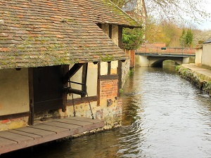
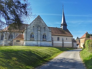
Starting in Verneuil-d’Avre-et-d’Iton, listed among the most beautiful detours in France, the trail follows the meanders of the Iton River towards Breteuil, a former fortified town once inhabited by William the Conqueror, before crossing the wooded parks of Condé-sur-Iton and its elegant château. Continuing towards Damville, the route reveals a peaceful landscape of verdant valleys and ponds ideal for birdwatching. The path then follows the historic Avre River, passing through Tillières-sur-Avre and its remains of medieval fortresses that once guarded the Norman March. Between Bérou-la-Mulotière and Montigny-sur-Avre, the landscape is composed of vast cereal plains and small hamlets of brick and flint, typical of the local architecture. The religious heritage is also noteworthy, with discreet Romanesque churches nestled in the hollows of the valleys at Bâlines.
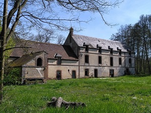
The Duchy of Normandy, established in 911 by the Treaty of Saint-Clair-sur-Epte, is the historical territory of which the department of Eure (Upper Normandy) constitutes an essential part, particularly its eastern façade. This region was the starting point of the Norman rise, extending to include the conquests of Rollo and his descendants. Medieval Eure is dotted with sites that bear witness to this power, such as the fortress of Chateau-Gaillard, built by Richard the Lionheart in Les Andelys to defend the duchy against the King of France. The department was at the heart of Anglo-Norman struggles and the conflicts of the Hundred Years' War. Numerous abbeys (like those of Mortemer and Fontaine-Guérard) testify to the religious and cultural prominence of the duchy. After its attachment to the royal French domain in 1204, the region maintained a strong provincial identity.
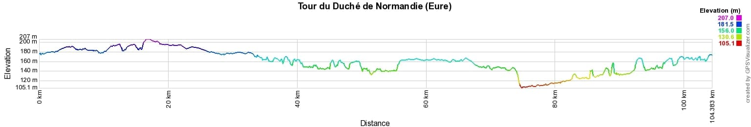
 Distance: 104km, Elevation maximum: 210m, Elevation minimum: 107m, Elevation gain uphill: 336m
IGN Maps: Verneuil d'Avre et d'Iton - 1915E. Breteuil (Eure) - 1914E. Grossoeuvre - 2014O. Nonancourt - 2015O.
Nearby paths:
![]() It is advisable to follow the trail markers all along your hike and to bring the FFRandonnée topo-guide. You will also find information on MonGR.fr.
It is advisable to follow the trail markers all along your hike and to bring the FFRandonnée topo-guide. You will also find information on MonGR.fr.
GR®, PR®, GRP® and the corresponding markings are trademarks of the French Federation of Hiking. They may not be reproduced without permission. The French Federation of Hiking, state-approved, includes organizations that maintain hiking routes. It publishes guides for these routes. With your donations, support the actions of the thousands of volunteer markers of the FFRandonnée.
GR-Infos.com is an editorial partner of MonGR.fr.
| Return |

Former holiday hotel with a garden along the Allier, L'Etoile Guest House is located in La Bastide-Puylaurent between Lozere, Ardeche, and the Cevennes in the mountains of Southern France. At the crossroads of GR®7, GR®70 Stevenson Path, GR®72, GR®700 Regordane Way, GR®470 Allier River springs and gorges, GRP® Cevenol, Ardechoise Mountains, Margeride. Numerous loop trails for hiking and one-day biking excursions. Ideal for a relaxing and hiking getaway.
Copyright©gr-infos.com (Authorization for private use only)
To help us maintain and improve GR-Infos.com, a contribution of 2€ is desired via Wero or bank transfer. Thank you!