
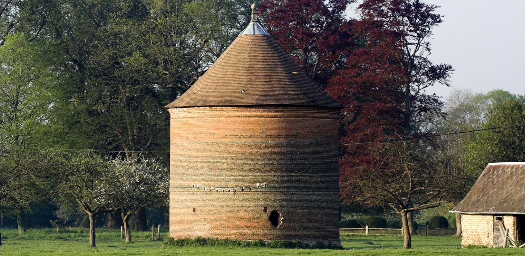
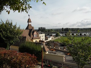
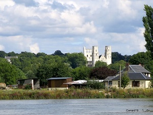
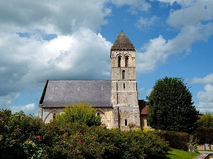
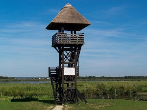
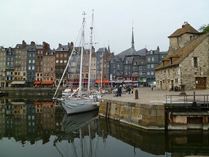
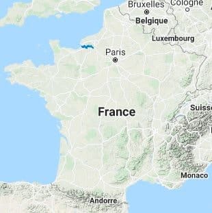
The GR®23 long-distance hiking trail, from Sotteville-sous-le-Val to Honfleur, follows the Seine estuary and crosses the Boucles de la Seine Normande Regional Natural Park. The landscape is spectacular, characterized by wide meanders, deciduous forests on the hillsides, and the vastness of the estuary, a vital habitat for wildlife, particularly migratory birds and the return of harbor seals. The flora is typical of wetlands, with extensive reedbeds and woodlands on the higher ground. The route is rich in history and heritage, passing near ancient Norman abbeys and ending in the picturesque and historic port of Honfleur, symbolizing the river's economic and cultural connection with the Manche.
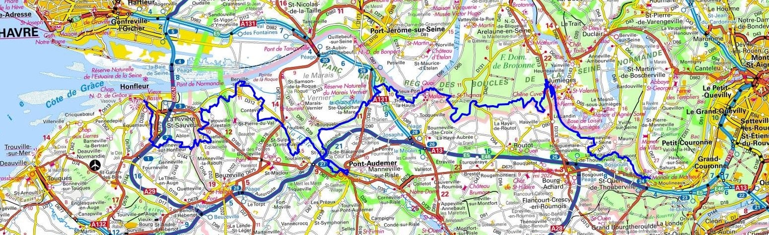
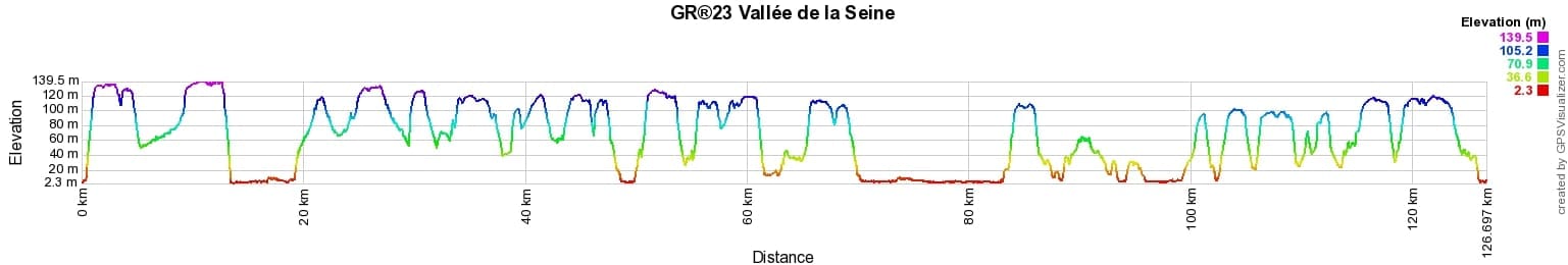
 Distance: 141km, Elevation maximum: 140m, Elevation minimum: 3m, Elevation gain uphill: 2196m
Nearby paths:
![]() It is advisable to follow the beacons all along your hike and to bring the FFRandonnee topo-guide. You will also find information on MonGR.fr.
It is advisable to follow the beacons all along your hike and to bring the FFRandonnee topo-guide. You will also find information on MonGR.fr.
GR®, PR®, GRP®, and the corresponding signs of markings (white/red, yellow and yellow/red) are trademarks of the French Federation of Hiking. They may not be reproduced without permission. The French Federation of Hiking, state-approved, includes organizations that create and maintain hiking routes on GR®, PR® and GRP®. It publishes guides for these topo hiking routes. With your donations, support the actions of the thousands of volunteer markers of the FFRandonnee.
GR-Infos.com is an editorial partner of MonGR.fr.
| Return |

Former holiday hotel with a garden along the Allier, L'Etoile Guest House is located in La Bastide-Puylaurent between Lozere, Ardeche, and the Cevennes in the mountains of Southern France. At the crossroads of GR®7, GR®70 Stevenson Path, GR®72, GR®700 Regordane Way, GR®470 Allier River springs and gorges, GRP® Cevenol, Ardechoise Mountains, Margeride. Numerous loop trails for hiking and one-day biking excursions. Ideal for a relaxing and hiking getaway.
Copyright©gr-infos.com (Authorization for private use only)
To help us maintain and improve GR-Infos.com, a contribution of 2€ is desired via Wero or bank transfer. Thank you!