
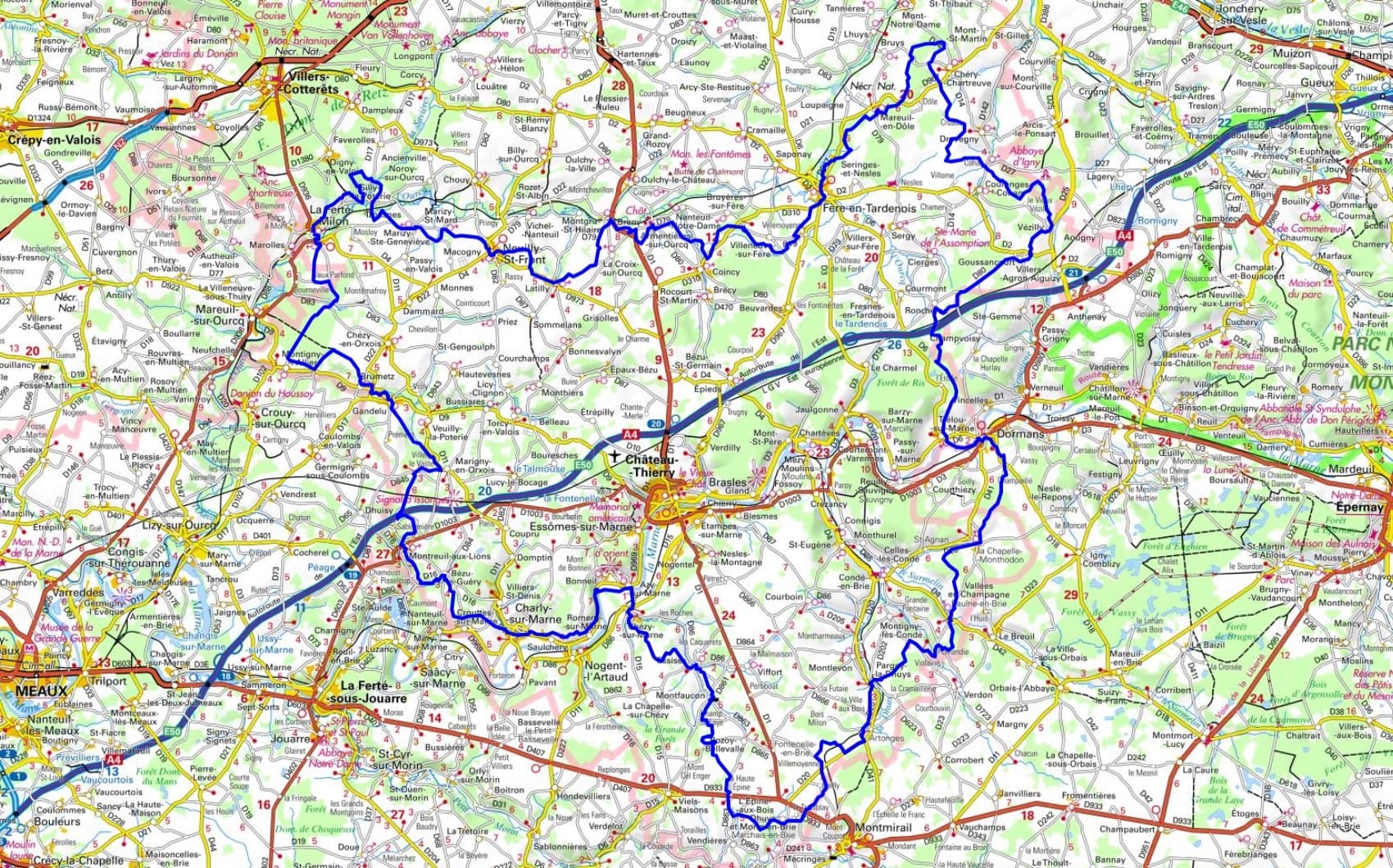
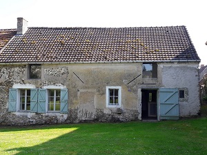
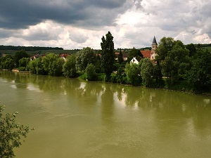
Starting in La Ferté-Milon, Racine's birthplace dominated by its unfinished castle, the trail winds its way into the Tardenois region towards Fère-en-Tardenois, famous for its Renaissance viaduct, before reaching the Marne Valley at Dormans, a significant site of remembrance for the Great War. Through the hills of Charly-sur-Marne, the hiker meanders through the heart of the Champagne vineyards, where winemaking heritage blends with the Romanesque churches of Chézy-sur-Marne. Nature here reveals itself in all its diversity, alternating between vast state forests, cereal-growing plateaus, and riverbanks. Heading back up towards the Montreuil-aux-Lions plateau and Marigny-en-Orxois, the route passes through villages of golden stone and unspoiled valleys where the biodiversity of the wetlands is protected. The passage through Gandelu and Brumetz highlights the gentle landscapes of the Ourcq, a transitional territory on the edge of Île-de-France.
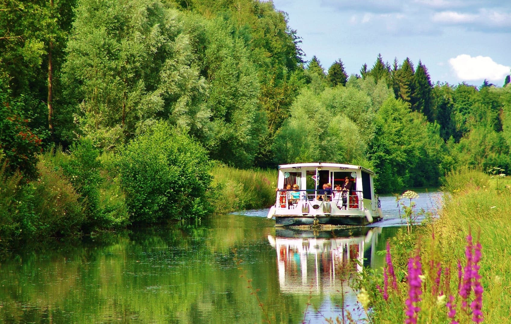
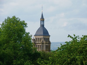
The Omois is a natural region located at the confluence of the Aisne, Marne, and Oise rivers, centered on the Marne Valley and the town of Château-Thierry. The landscape is characterized by chalk hills and deep valleys, whose slopes are entirely dedicated to vineyards for Champagne production. The region's history is closely linked to the river and the bloody battles of the First World War, as evidenced by the numerous cemeteries and memorials that still bear witness to its strategic importance. The dense forests covering the plateaus, such as the Ris Forest, shelter wildlife typical of the northern plains, including red deer and roe deer. The flora is dominated by vineyards and deciduous woodlands, making the Omois a region that blends historical heritage with a thriving wine industry.
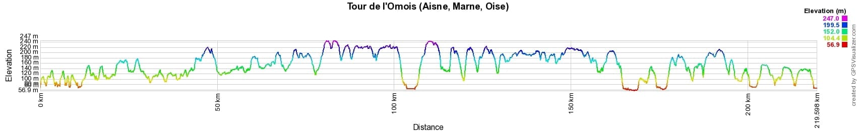

 Distance: 222km, Elevation maximum: 252m, Elevation minimum: 55m, Elevation gain uphill: 2961m
IGN Maps: Villers-Cotterets Foret de Retz - 2512OT. Saacy-Sur-Marne - 2513E. Fere-En-Tardenois - 2612E. Neuilly-Saint-Front - 2612O. Etampes-Sur-Marne - 2613E. Chateau-Thierry - 2613O. Montmirail - 2614E. Fismes - 2712O. Dormans - 2713O.
Nearby paths:
![]() It is advisable to follow the beacons all along your hike and to bring the FFRandonnée topo-guide. You will also find information on MonGR.fr.
It is advisable to follow the beacons all along your hike and to bring the FFRandonnée topo-guide. You will also find information on MonGR.fr.
GR®, PR®, GRP® and the corresponding markings are trademarks of the French Federation of Hiking. They may not be reproduced without permission. The French Federation of Hiking, state-approved, includes organizations that maintain hiking routes. It publishes guides for these routes. With your donations, support the actions of the thousands of volunteer markers of the FFRandonnée.
GR-Infos.com is an editorial partner of MonGR.fr.
| Return |

Former holiday hotel with a garden along the Allier, L'Etoile Guest House is located in La Bastide-Puylaurent between Lozere, Ardeche, and the Cevennes in the mountains of Southern France. At the crossroads of GR®7, GR®70 Stevenson Path, GR®72, GR®700 Regordane Way, GR®470 Allier River springs and gorges, GRP® Cevenol, Ardechoise Mountains, Margeride. Numerous loop trails for hiking and one-day biking excursions. Ideal for a relaxing and hiking getaway.
Copyright©gr-infos.com (Authorization for private use only)
To help us maintain and improve GR-Infos.com, a contribution of 2€ is desired via Wero or bank transfer. Thank you!