
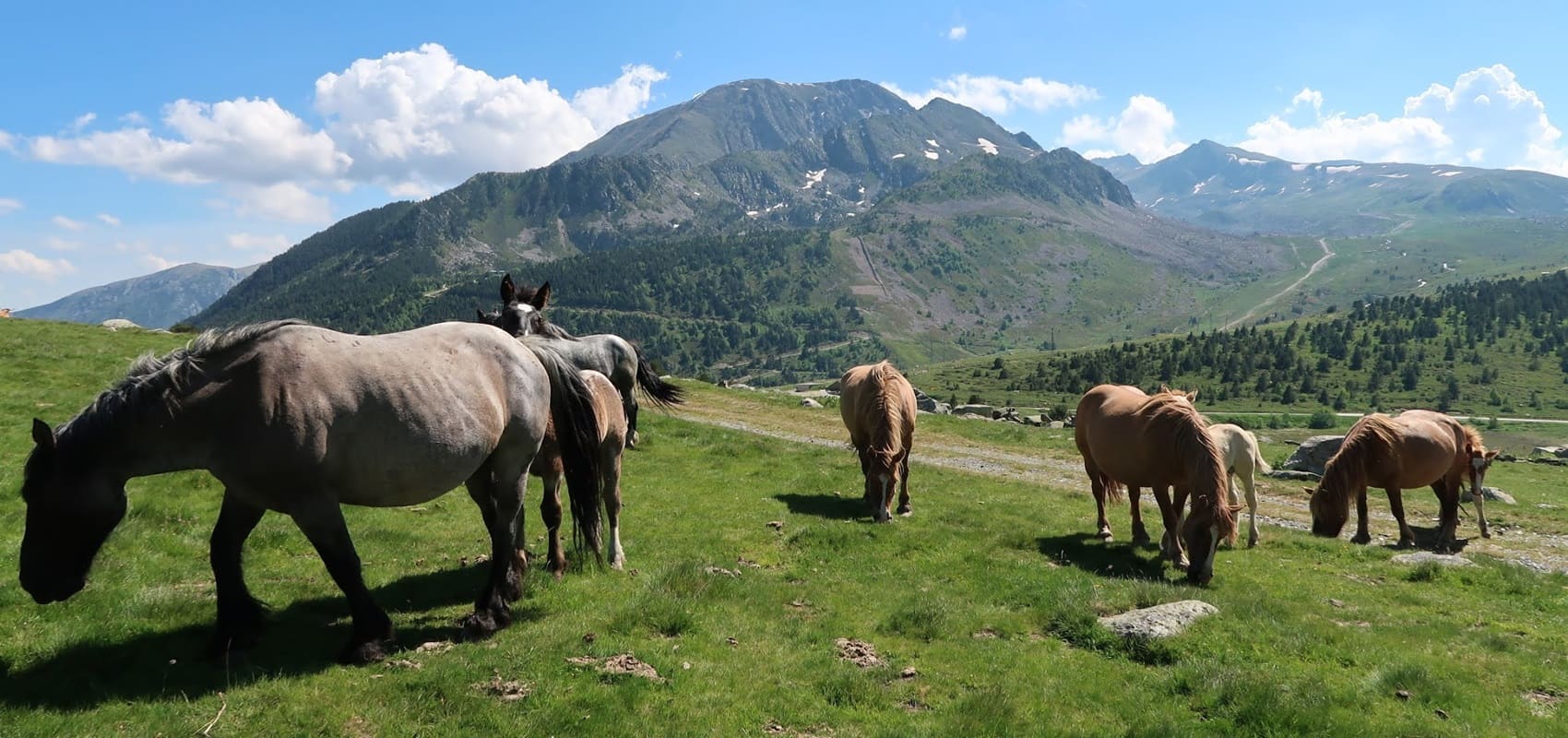
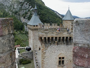
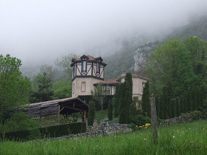
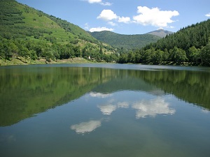
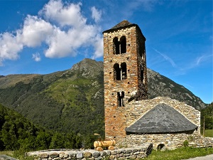
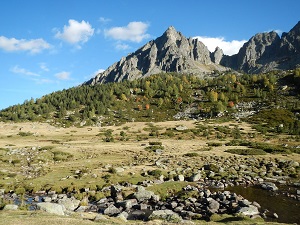
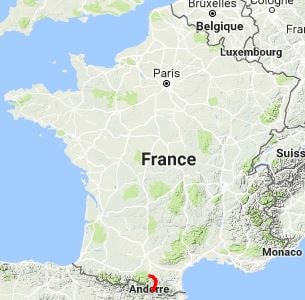
This legendary route follows in the footsteps of the last Cathars (the "Good Men") who, in the 13th century, fled the Inquisition and persecution to find refuge on the Spanish slopes. Starting from the medieval town of Foix and its count's castle, the route winds its way into the Ariège Pyrenees to cross the border at the Portella Blanca pass, the junction point between France, Spain, and Andorra. This trail is marked by vertigo-inducing citadels, such as the castle of Montségur, a symbol of Cathar resistance, through the green valleys of Ariège to the wild high plateaus of the Orlu National Reserve, before reaching the bare peaks and high-altitude lakes of the Catalan Pyrenees where emblematic fauna such as the Pyrenean chamois, the bearded vulture or the marmot live, evolving between beech forests and alpine meadows already marked by the Mediterranean influence and the steep relief of the Sierra del Cadí.
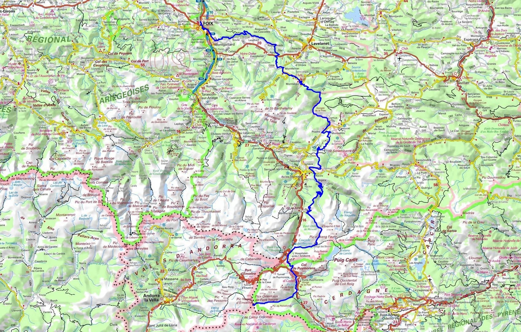
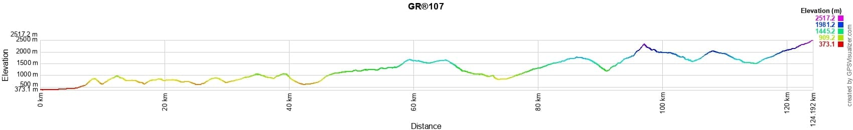
 Distance: 125km, Elevation maximum: 2509m, Elevation minimum: 590m, Elevation gain uphill: 6832m
IGN Maps: Foix Tarascon-sur-Ariege (2147ET). Ax-les-Thermes (2148ET). Lavelanet Montsegur Lac de Montbel (2247OT). Bourg-Madame Puymorens Pass Pic Carlit (2249OT).
Nearby paths:
![]() It is advisable to follow the beacons all along your hike and to bring the FFRP topo-guide. You will also find information on MonGR.fr.
It is advisable to follow the beacons all along your hike and to bring the FFRP topo-guide. You will also find information on MonGR.fr.
® The GR® GRP® PR acronyms, as well as the corresponding trail signs (white/red, yellow and yellow/red), are trademarks of the Fédération Française de la Randonnée Pédestre. They may not be reproduced without its permission. The FFRP, recognized as being of public utility, groups together the associations which create and maintain the hiking routes on the GR® GRP® PR. It publishes topo-guides for these hiking routes. With your donations, support the actions of the thousands of volunteer markers of the FFRP.
GR-Infos.com is an editorial partner of MonGR.fr.
| Return |

Former holiday hotel with a garden along the Allier, L'Etoile Guest House is located in La Bastide-Puylaurent between Lozere, Ardeche and the Cevennes in the mountains of Southern France. At the crossroads of GR®7, GR®70 Stevenson trail, GR®72, GR®700 Regordane way, GR®470 Springs and Gorges of the Allier river, GRP® Cevenol, Ardechoise mountain, Margeride. Many loop routes for hiking and cycling for a day. Ideal for a relaxing and hiking stay.
Copyright©gr-infos.com (Authorization of use for private purposes only)
To help us maintain and improve GR-Infos.com, a contribution of 2€ is desired via Wero or bank transfer. Thank you!