
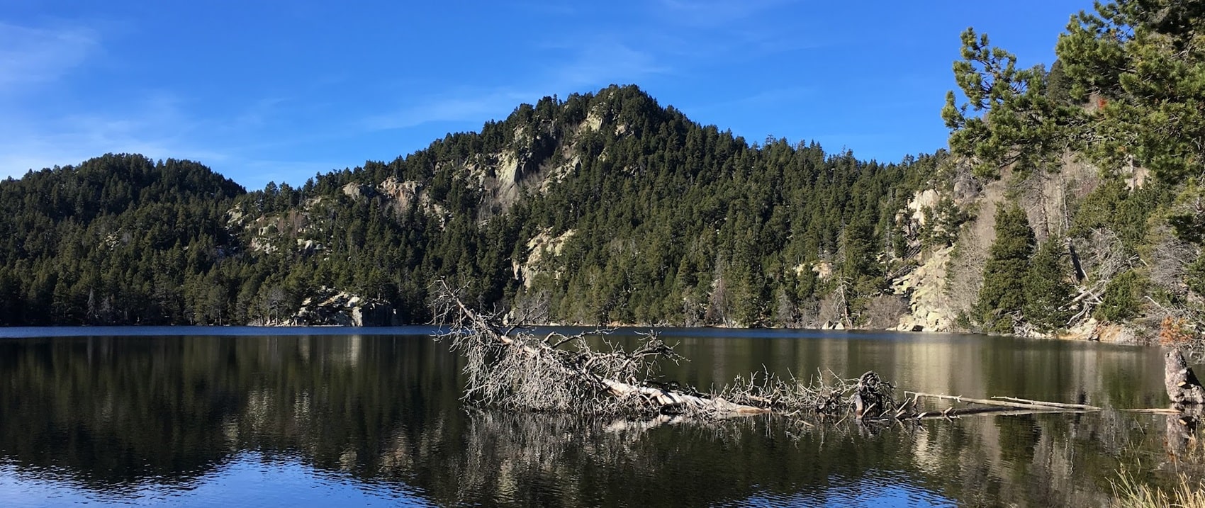
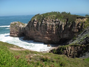
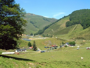
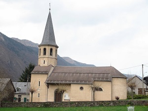
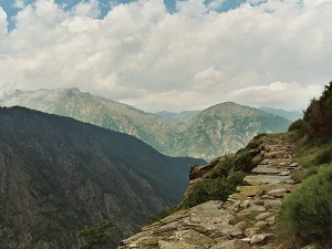
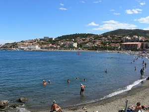
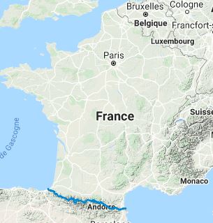
Crossing the French Pyrenees from Hendaye to Banyuls-sur-Mer, the trail offers an unparalleled hiking experience over approximately 900 kilometres. It traverses natural parks such as the Pyrenees National Park and the Ariège Pyrenees Regional Natural Park, showcasing a diversity of landscapes from the dense forests of the Basque Country to the lush valleys of Béarn, passing through the rugged mountains of Bigorre and the gentle hills of Luz-Saint-Sauveur. The highest point of the trail is at the Fourcat refuge at 2,445 m. The GR®10 is renowned for its natural beauty and panoramic views. It offers a comprehensive exploration of Pyrenean flora, including the "gispet" of alpine meadows, rhododendrons, blueberries, heather, beech forests and twisted pines. Hikers can also observe a variety of wildlife, including bearded vultures and capercaillies.
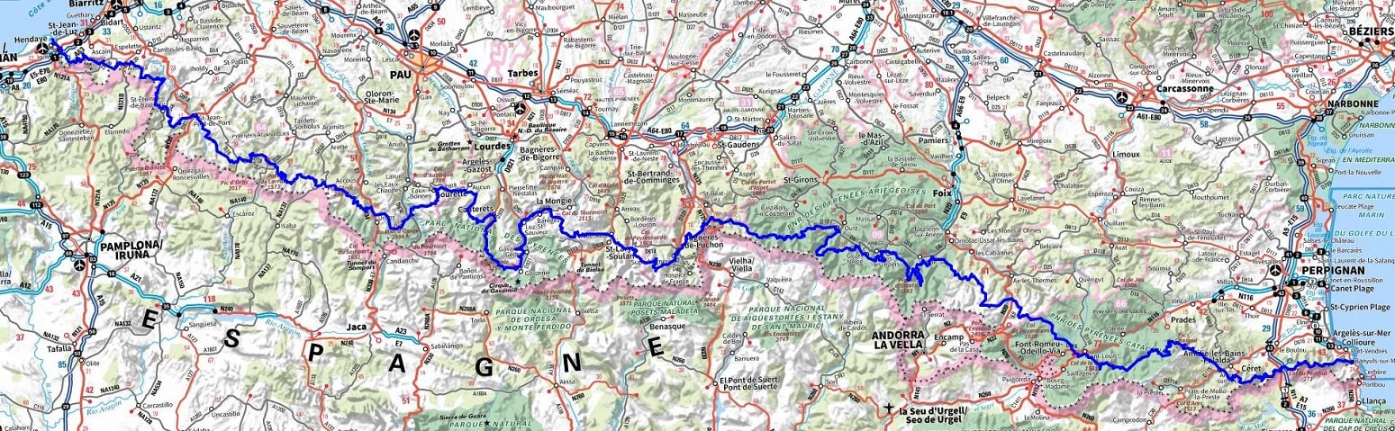
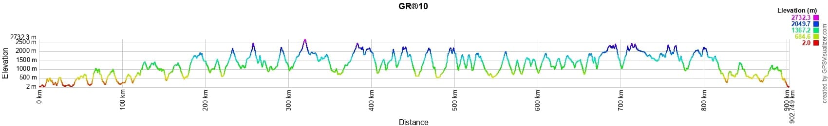
 Distance: 900km, Elevation maximum: 2732m, Elevation minimum: 1m, Elevation gain uphill: 55071m
IGN Maps: Hendaye Saint-Jean-de-Luz Côte d'Argent (1245OT), Cambo-les-Bains Hasparren (1345OT), Forêt d'Iraty Pic d'Orhy (1346ET), Saint-Jean-Pied-de-Port Saint-Étienne-de-Baïgorry Vallée des Aldudes (1346OT).
![]() It is advisable to follow the beacons all along your hike and to bring the FFRandonnée topo-guide. You will also find information on MonGR.fr.
It is advisable to follow the beacons all along your hike and to bring the FFRandonnée topo-guide. You will also find information on MonGR.fr.
GR®, PR®, GRP®, and the corresponding signs of markings (white/red, yellow and yellow/red) are trademarks of the French Federation of Hiking. They may not be reproduced without permission. The French Federation of Hiking, state-approved, includes organizations that create and maintain hiking routes on GR®, PR® and GRP®. It publishes topo-guides for these hiking routes. With your donations, support the actions of the thousands of volunteer markers of the FFRandonnée.
GR-Infos.com is an editorial partner of MonGR.fr.
| Return |

Former holiday hotel with a garden along the Allier, L'Etoile Guest House is located in La Bastide-Puylaurent between Lozere, Ardeche, and the Cevennes in the mountains of Southern France. At the crossroads of GR®7, GR®70 Stevenson Path, GR®72, GR®700 Regordane Way, GR®470 Allier River springs and gorges, GRP® Cevenol, Ardechoise Mountains, Margeride. Numerous loop trails for hiking and one-day biking excursions. Ideal for a relaxing and hiking getaway.
Copyright©gr-infos.com (Authorization for private use only)
To help us maintain and improve GR-Infos.com, a contribution of 2€ is desired via Wero or bank transfer. Thank you!