
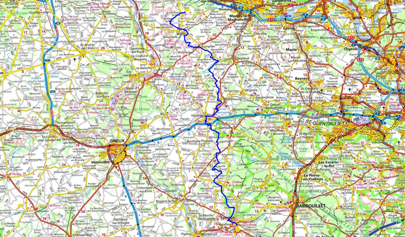
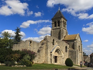
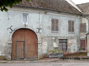
Starting in Épernon, a historic town renowned for its millstone quarries, the trail winds its way through the wooded hills towards Hermeray and La Hauteville. The arrival in Houdan marks a major heritage milestone with its unique medieval keep and half-timbered houses, testaments to a rich trading past. Continuing towards Richebourg and Civry-la-Forêt, the landscape opens up to agricultural horizons dotted with ancient church steeples and fortified farms. The route then reaches Montchauvet, a charming village with remnants of ramparts, before crossing the expanses of Dammartin-en-Serve and Longnes. Here, the biodiversity of the forest edges and wetlands of the Vaucouleurs Valley accompanies the hiker towards Bréval. The route ends between Saint-Illiers-le-Bois and Saint-Illiers-la-Ville, where the calm of the rural churches and the small Norman-Yvelines valleys underlines the authenticity of this terroir.
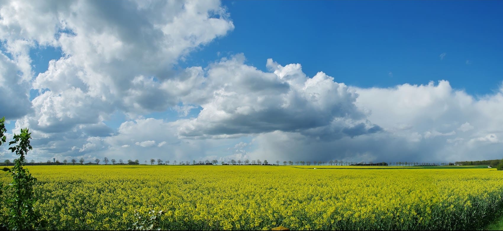
The hiking trail from Épernon to Saint-Illiers-la-Ville marks the beginning of an iconic crossing of the Yvelines region, transitioning from the plains of Beauce to the forest massif. The landscape evolves from the vast agricultural fields of Eure-et-Loir to the valleys and wooded hills typical of the Île-de-France. The history of this region is closely linked to the French Crown, as the route runs alongside the famous Rambouillet Forest, a former royal hunting ground. The flora is characterized by a stark contrast between cereal monocultures and the vast beech and oak forests of the state-owned forest. The fauna is that of the great forest massifs west of Paris, home to red deer, roe deer, and wild boar, offering an immersion in the nature and historical heritage of the region.
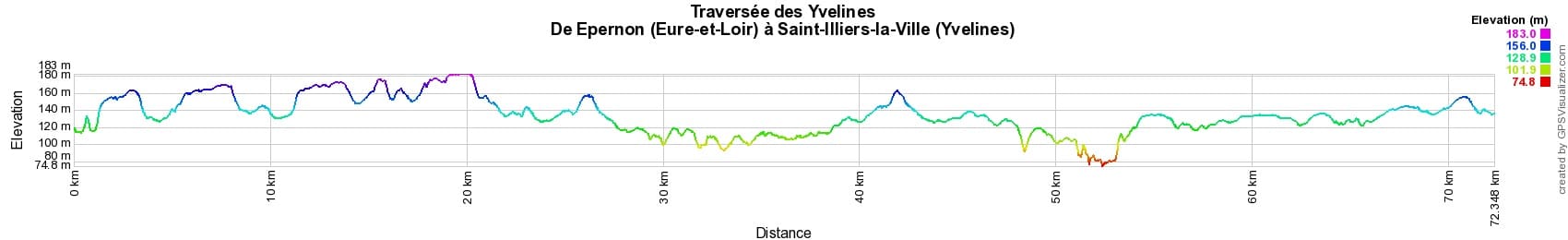

 Distance: 72km, Maximum elevation: 183m, Minimum elevation: 74m, Total ascent: 514m
IGN Maps: 2115SB - EPERNON / NOGENT-LE-ROI / HOUDAN. 2013SB - EVREUX / VERNON. 2114SB - AUBERGENVILLE / HOUDAN. 2116SB - MAINTENON / AUNEAU. 2215OT - FORET DE RAMBOUILLET / PNR DE LA HAUTE VALLEE DE CHEVREUSE.

Nearby paths:
![]() It is advisable to follow the beacons all along your hike and to bring the FFRandonnée topo-guide. You will also find information on MonGR.fr.
It is advisable to follow the beacons all along your hike and to bring the FFRandonnée topo-guide. You will also find information on MonGR.fr.
GR®, PR®, GRP® and the corresponding markings are trademarks of the French Federation of Hiking. They may not be reproduced without permission. The French Federation of Hiking, state-approved, includes organizations that maintain hiking routes. It publishes guides for these routes. With your donations, support the actions of the thousands of volunteer markers of the FFRandonnée.
GR-Infos.com is an editorial partner of MonGR.fr.
| Return |

Former holiday hotel with a garden along the Allier, L'Etoile Guest House is located in La Bastide-Puylaurent between Lozere, Ardeche, and the Cevennes in the mountains of Southern France. At the crossroads of GR®7, GR®70 Stevenson Path, GR®72, GR®700 Regordane Way, GR®470 Allier River springs and gorges, GRP® Cevenol, Ardechoise Mountains, Margeride. Numerous loop trails for hiking and one-day biking excursions. Ideal for a relaxing and hiking getaway.
Copyright©gr-infos.com (Authorization for private use only)
To help us maintain and improve GR-Infos.com, a contribution of 2€ is desired via Wero or bank transfer. Thank you!