
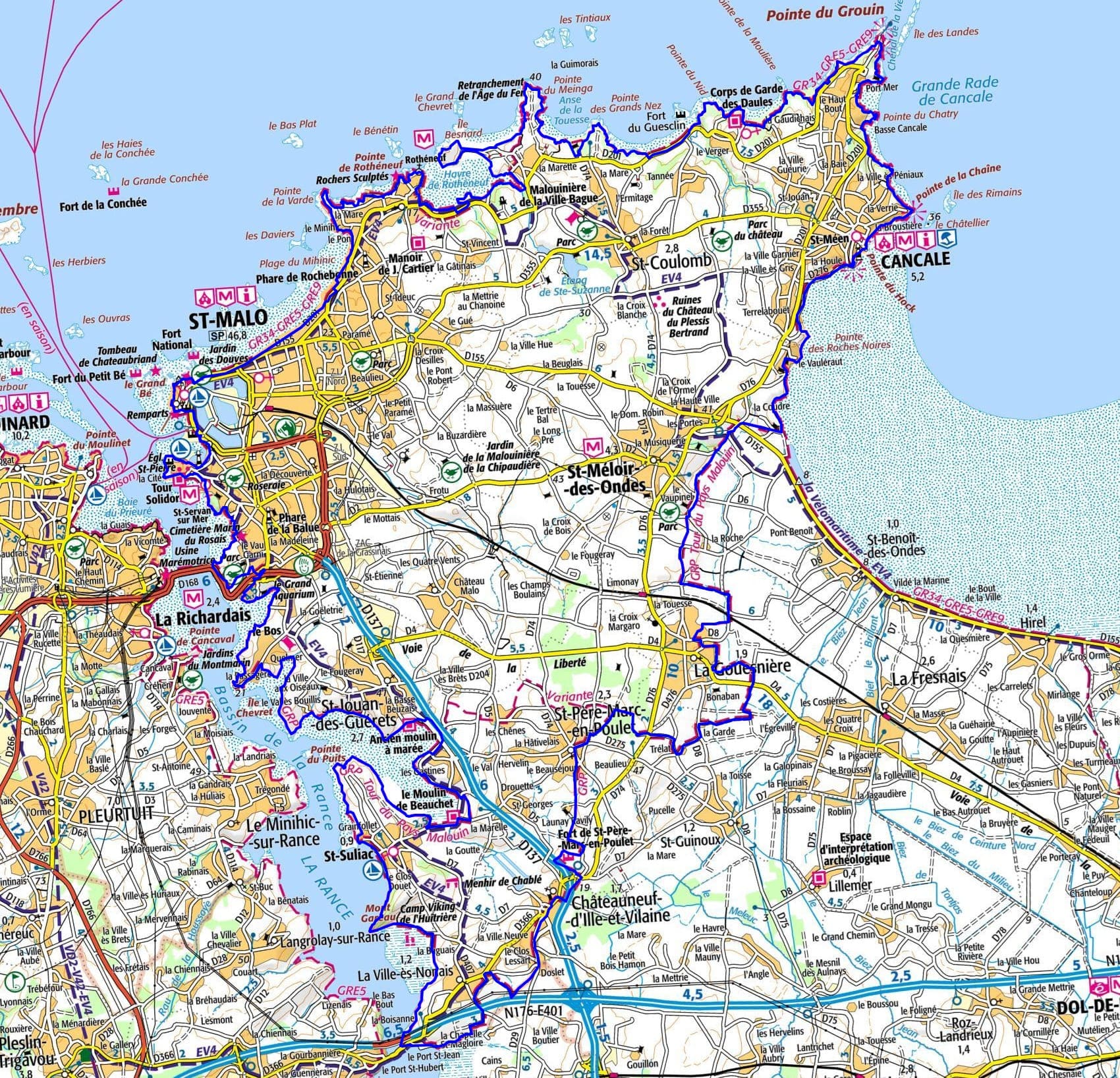
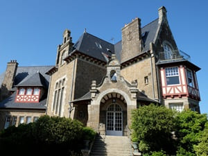
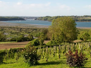
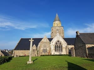
Starting from the ramparts of Saint-Malo, the trail follows the coast towards Saint-Coulomb, where hikers discover wild coves and hidden malouinières, jewels of 17th-century architectural heritage. The path then reaches Cancale, famous for its oyster port and breathtaking views of the Mont-Saint-Michel bay. Heading inland via Saint-Méloir-des-Ondes and La Gouesnière, the landscape changes, offering a green and soothing bocage. At Saint-Père-Marc-en-Poulet, the Fort de Saint-Père stands as a testament to the region's military past, while Châteauneuf-d'Ille-et-Vilaine imposes its medieval silhouette. The route then joins the banks of the Rance at La Ville-ès-Nonais, revealing a preserved and maritime nature. Passing through Saint-Suliac, ranked among the most beautiful villages in France, is a delight with its ancient fishing port.
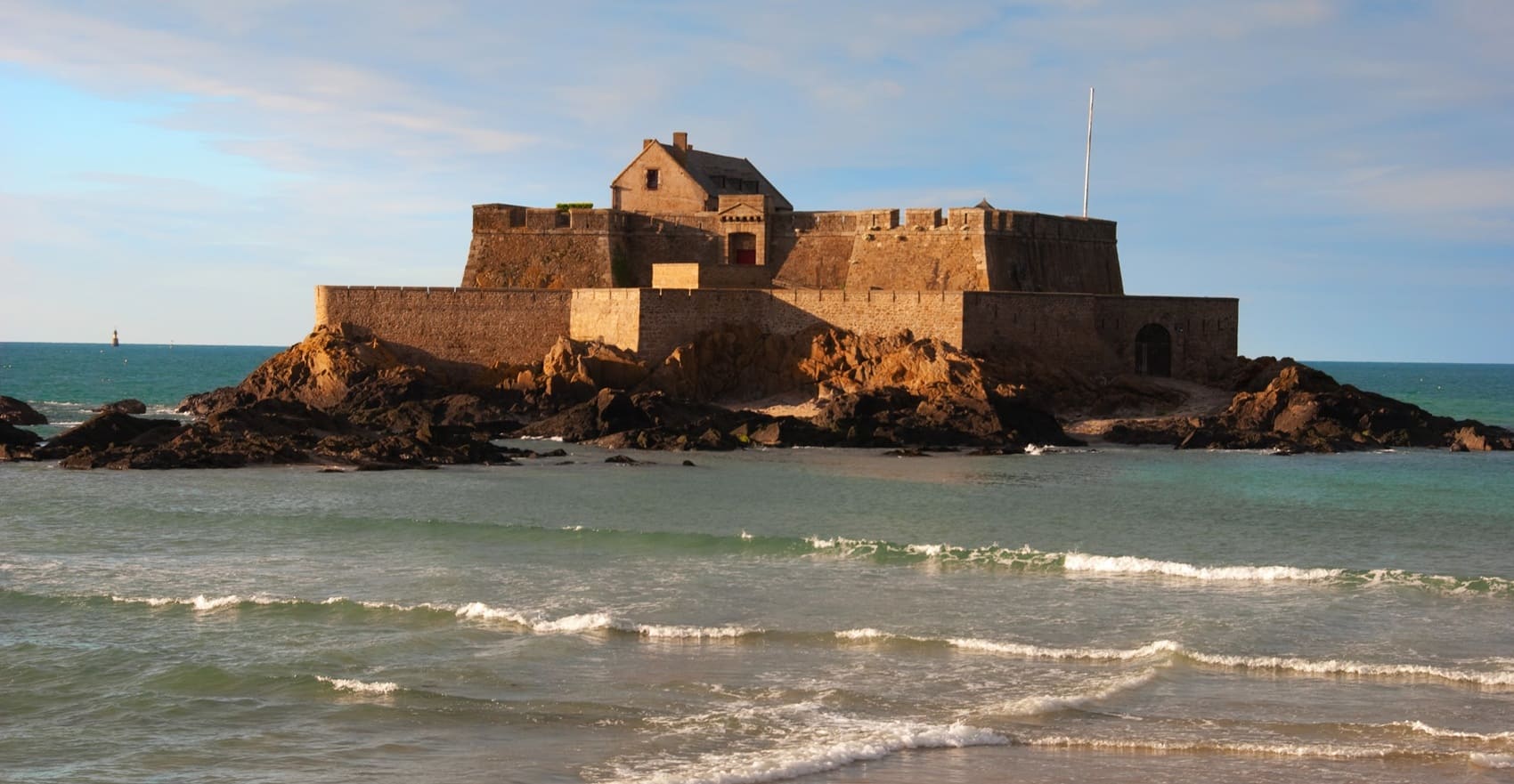
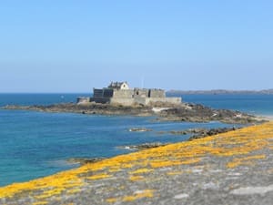
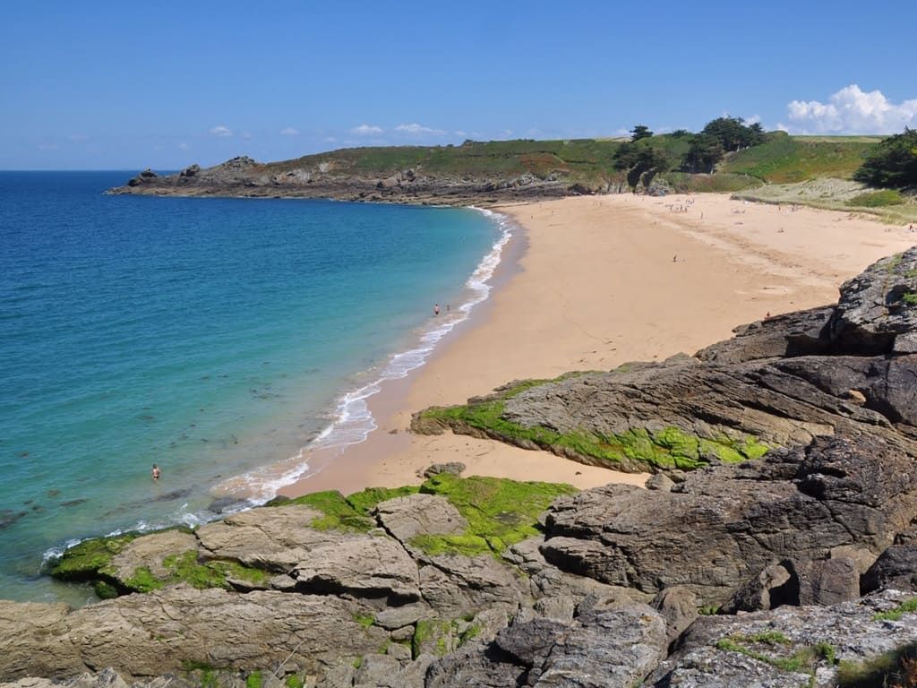
The Pays Malouin, the pearl of Ille-et-Vilaine in Brittany, is a region deeply shaped by the ocean. Its history revolves around Saint-Malo, the illustrious corsair city protected by its majestic granite ramparts. It was from this port that famous explorers, such as Jacques Cartier, set sail for the unknown. The local heritage also shines in the hinterland through the "malouinières," vast mansions built by wealthy shipowners. On the nature side, the territory offers a striking contrast, from the gentleness of the Rance estuary to the winds of the Pointe du Grouin. The Emerald Coast unfolds a wild coastline where jagged cliffs, colorful moorlands, and fine sandy beaches alternate. This maritime landscape is enhanced by the phenomenon of the high tides, which are among the most impressive in Europe. When the sea retreats, it reveals vast stretches of sand that delight shore gatherers. These water movements allow reaching historical islets like the Grand Bé, Chateaubriand's tomb, dry-shod. The customs officers' trails along the coast invite spectacular hikes close to the waves. Between maritime fortresses, ornithological reserves, and maritime traditions, the identity of this land remains deeply authentic. The Pays Malouin is thus a wonderful essence of the Breton soul, strongly combining wild nature and the breath of History.
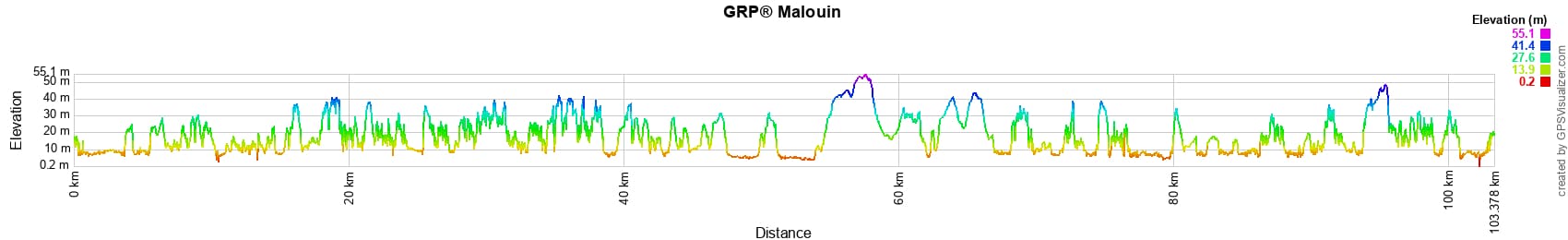
 Distance: 103km, Elevation maximum: 54m, Elevation minimum: 3m, Elevation gain uphill: 1046m
|
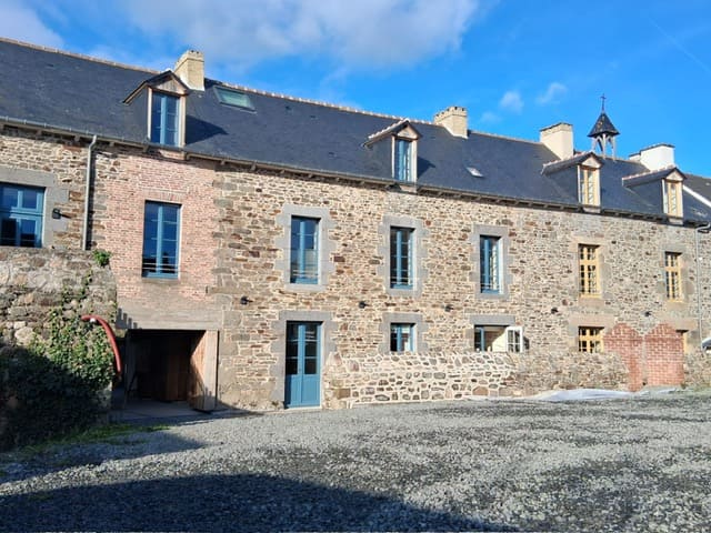
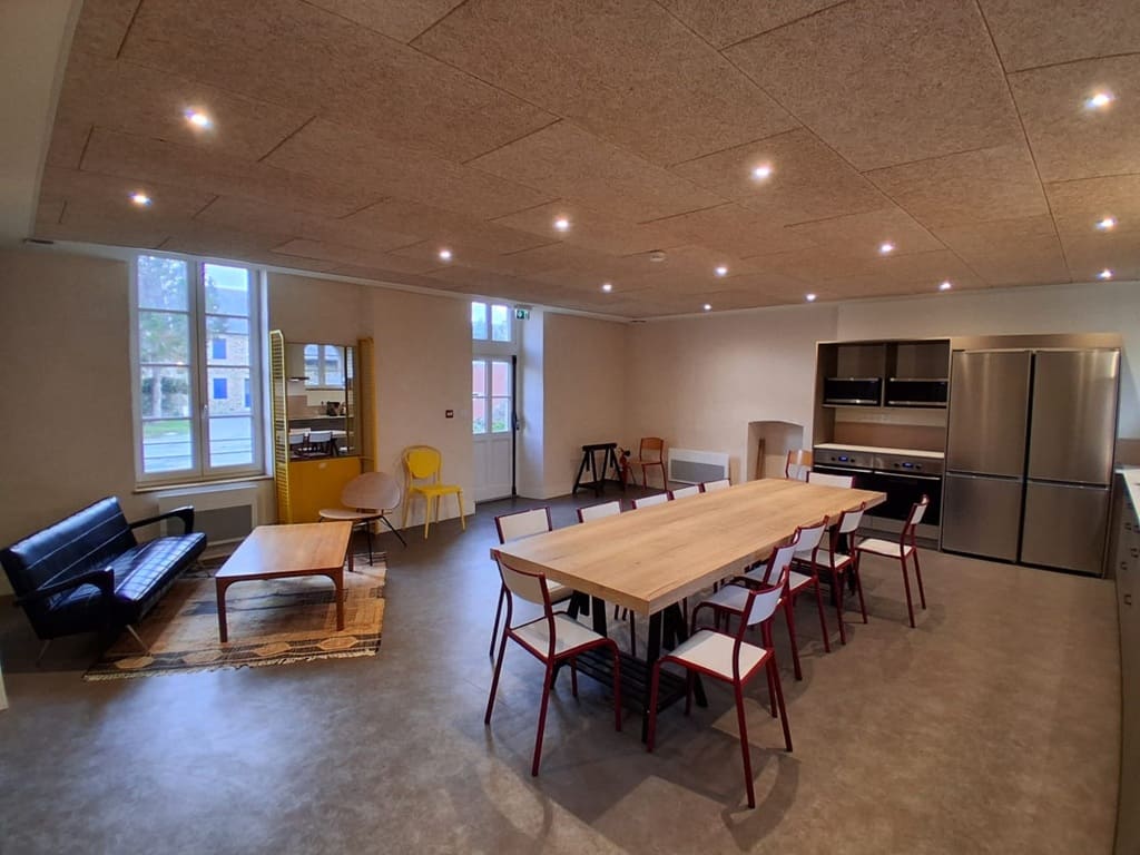
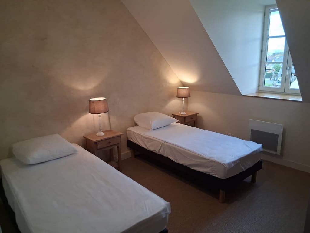
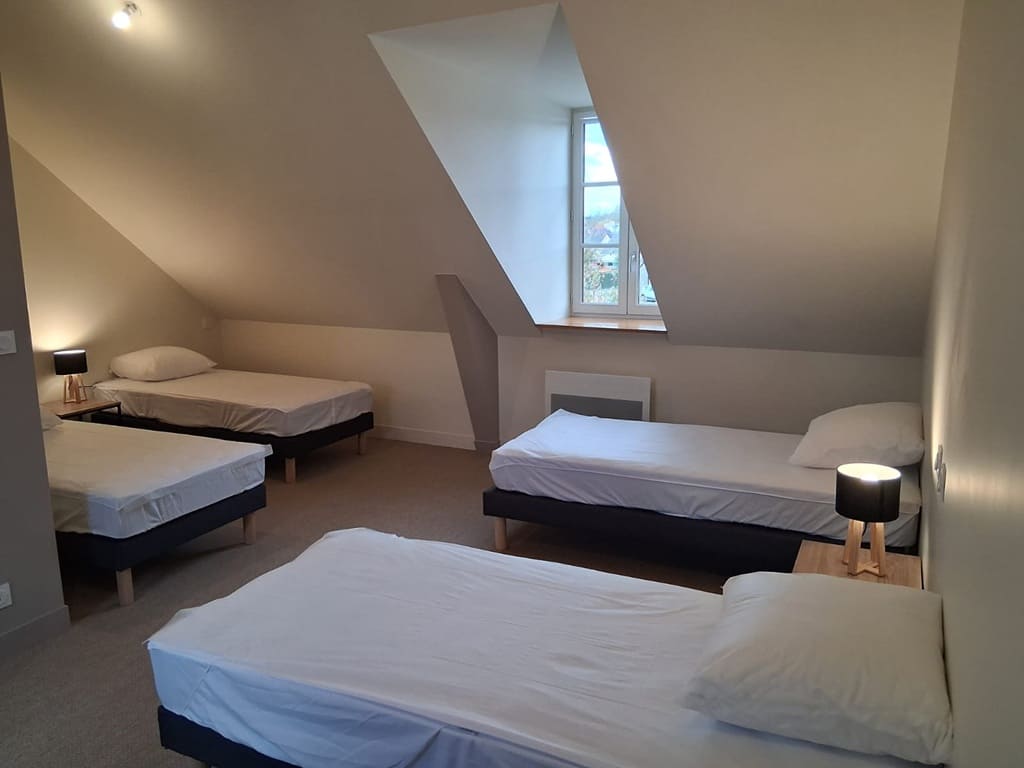
Saint-Suliac: Hiking lodge Le Grand Banc, 06 18 37 49 55, Email. |
|
Nearby paths:
![]() It is advisable to follow the beacons all along your hike and to bring the FFRandonnée topo-guide. You will also find information on MonGR.fr.
It is advisable to follow the beacons all along your hike and to bring the FFRandonnée topo-guide. You will also find information on MonGR.fr.
GR®, PR®, GRP® and the corresponding markings are trademarks of the French Federation of Hiking. They may not be reproduced without permission. The French Federation of Hiking, state-approved, includes organizations that maintain hiking routes. It publishes guides for these routes. With your donations, support the actions of the thousands of volunteer markers of the FFRandonnée.
GR-Infos.com is an editorial partner of MonGR.fr.
| Return |

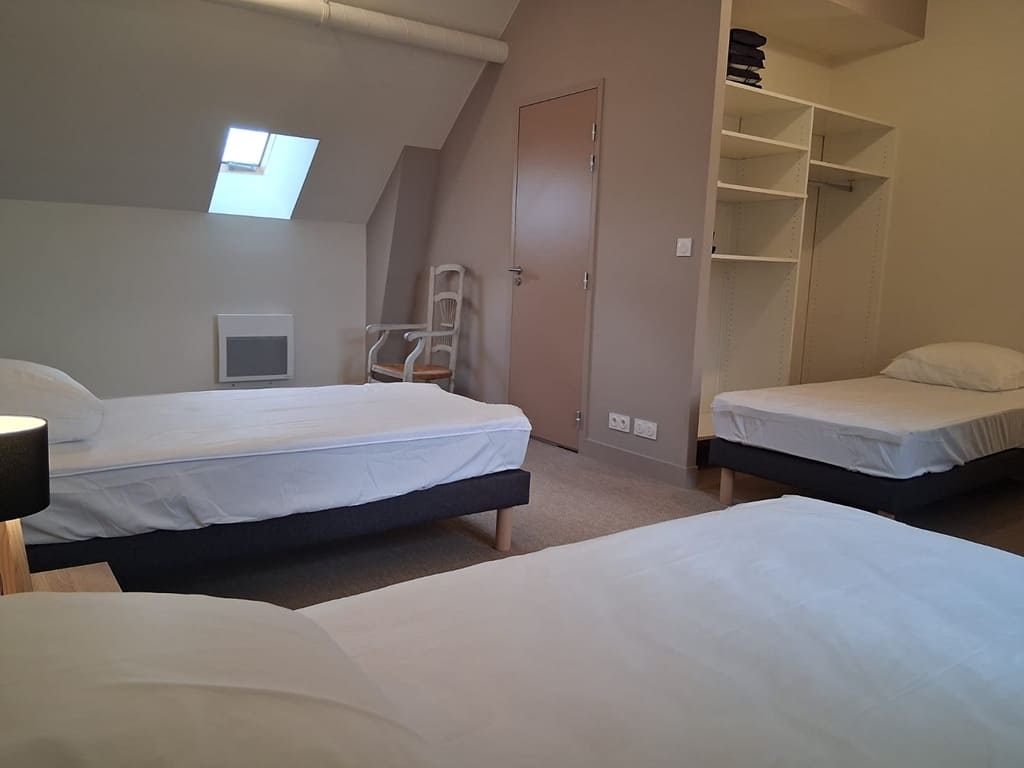
Former holiday hotel with a garden along the Allier, L'Etoile Guest House is located in La Bastide-Puylaurent between Lozere, Ardeche, and the Cevennes in the mountains of Southern France. At the crossroads of GR®7, GR®70 Stevenson Path, GR®72, GR®700 Regordane Way, GR®470 Allier River springs and gorges, GRP® Cevenol, Ardechoise Mountains, Margeride. Numerous loop trails for hiking and one-day biking excursions. Ideal for a relaxing and hiking getaway.
Copyright©gr-infos.com (Authorization for private use only)
To help us maintain and improve GR-Infos.com, a contribution of 2€ is desired via Wero or bank transfer. Thank you!