
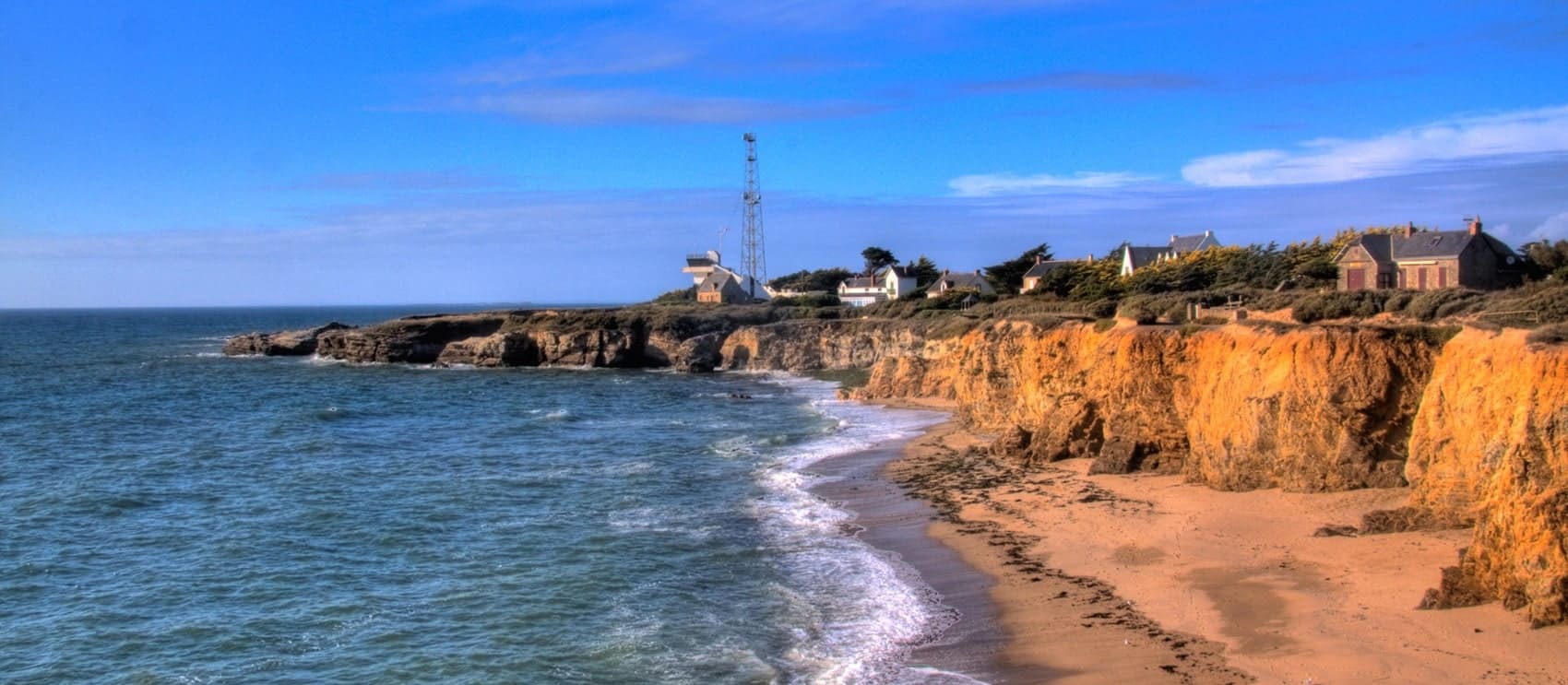
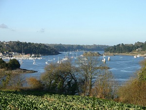
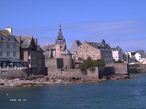
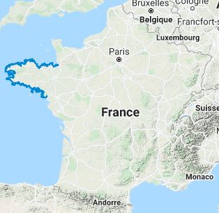
The GR®34, a breathtaking hiking trail, stretches over an impressive 2,000 km. It traces the entire Breton coast, extending from the historic Mont-Saint-Michel to the vibrant city of Saint-Nazaire. This trail unveils a tapestry of iconic maritime landscapes, from pristine sandy beaches to dramatic cliffs that offer sweeping views of the ocean, and meanders through quaint Breton villages steeped in rich history. The trail navigates through several remarkable coastal regions, including the enchanting Emerald Coast, the picturesque Pink Granite Coast, and the rugged coasts of Finistère, before culminating at the expansive beaches of Morbihan. It presents a diverse array of landscapes, adorned with wild flora predominantly composed of gorse, heather, and broom. The trail also meanders through marshes, which serve as a sanctuary to a diverse range of flora and fauna. The GR®34 boasts a rich and captivating history. Established in 1791 in Brittany as a measure to combat smuggling, it fell into disuse at the dawn of the 20th century. However, owing to the relentless efforts of hiking enthusiasts, the trail was meticulously restored and rehabilitated starting in 1968.
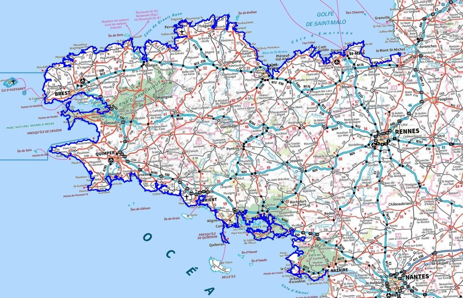


 Distance: 2,106 km, Maximum elevation: 124 m, Minimum elevation: 0 m, Cumulative elevation gain: 16,749 m
IGN Maps: Le Mont-Saint-Michel (1215OT). Pontorson (1216E). Saint-Hilaire-Du-Harcouet (1316E). Saint-James (1316O). Fougeres (1317E). Saint-Brice-En-Cogles (1317O). Vitre (1318E). Ernee (1417O). Erquy le Val-Andre Lamballe (0916ET). St-Cast-le-Guildo Cap Frehel (1016ET). Paimpol Treguier ile de Brehat (0814OT). St-Brieuc (0916OT). Lannion Perros-Guirec Les Sept iles Cote de Granit Rose (0714OT). Morlaix Plestin-les-Greves Carantec (0615ET). Lannion Trebeurden (0715O). St-Pol-de-Leon Roscoff Brignogan-Plage ile de Batz (0515ET). Plouguerneau Les Abers (0416ET). Ile d'Ouessant le Conquet (0317OT). Brest Pointe de St-Mathieu (0417ET). Camaret Presqu'ile de Crozon (0418ET). Le Faou (0517O). Chateaulin Douarnenez (0518OT). Audierne Pointe du Raz ile de Sein (0419ET). Pont-l'Abbe Pointe de Penmarc'H (0519OT). Quimper Concarneau iles de Glenan (0519ET). Quimperle Pont-Aven (0620ET). Lorient ile de Groix (0720ET). Presqu'ile de Quiberon Auray Carnac (0821OT). Belle-ile iles d'Houat et d'Hoedic (0822OT). Vannes Golfe du Morbihan (0921OT). Questembert Damgan (1021O). La Roche-Bernard PNR de Briere (1022OT).
|
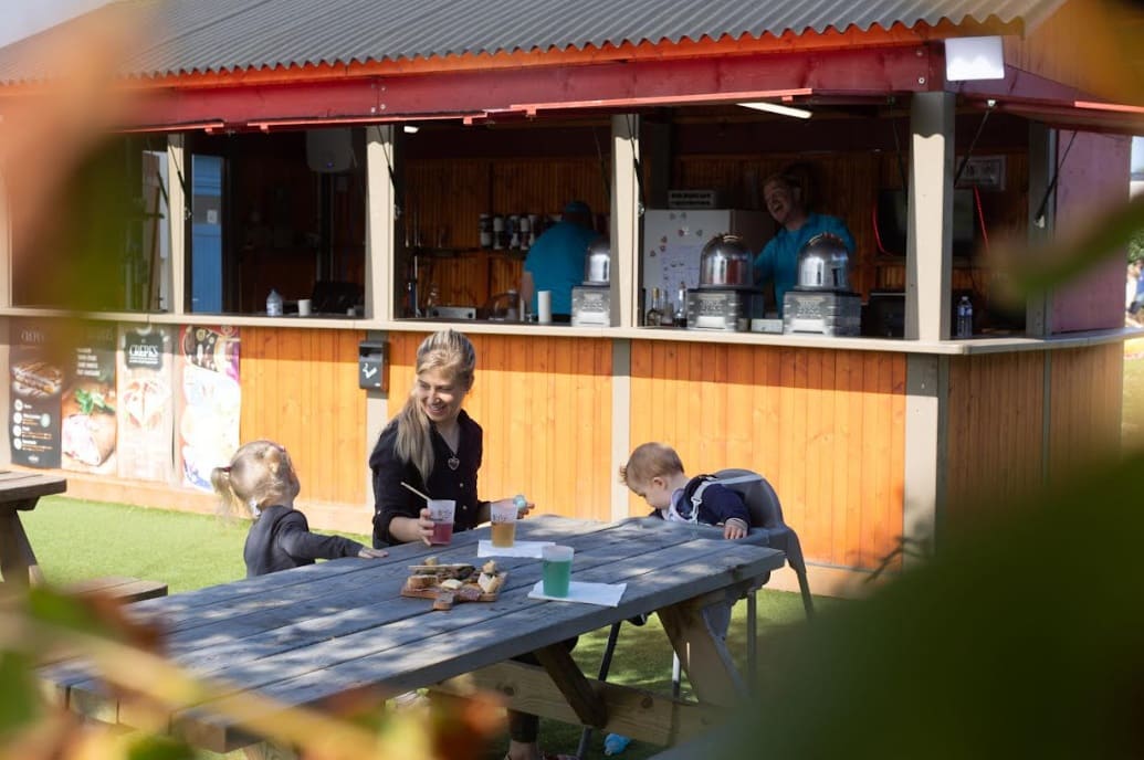
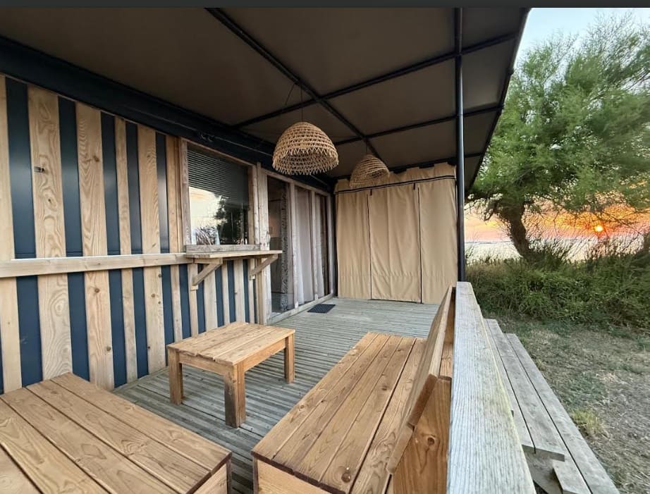
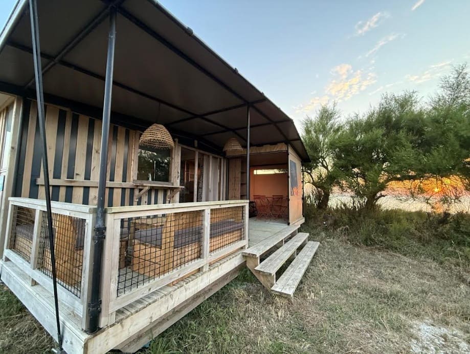
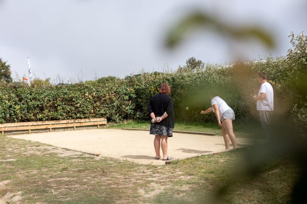
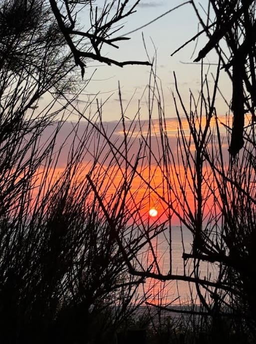
Roscoff : Camping La Pointe de Roscoff, Allée des Chênes Verts 29680 Roscoff, 02 98 15 65 72, Email Set amidst seascapes, fresh sea air, and an unspoiled environment, this campsite in Roscoff is the perfect destination to slow down, reconnect with essentials, and fully enjoy the riches of the Breton coastline. Its unique seafront location and great potential make it a must-visit spot for authentic holidays in Brittany. |
|
|
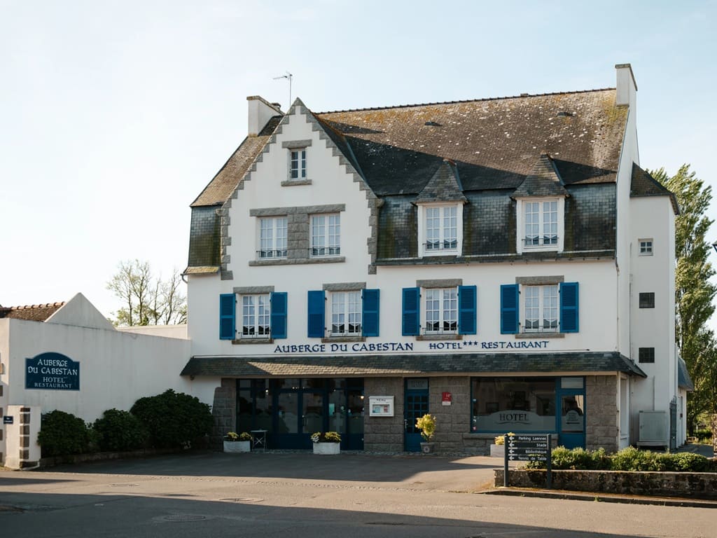
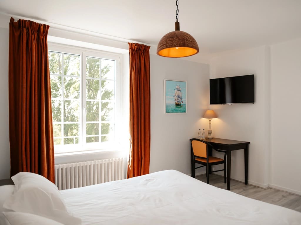
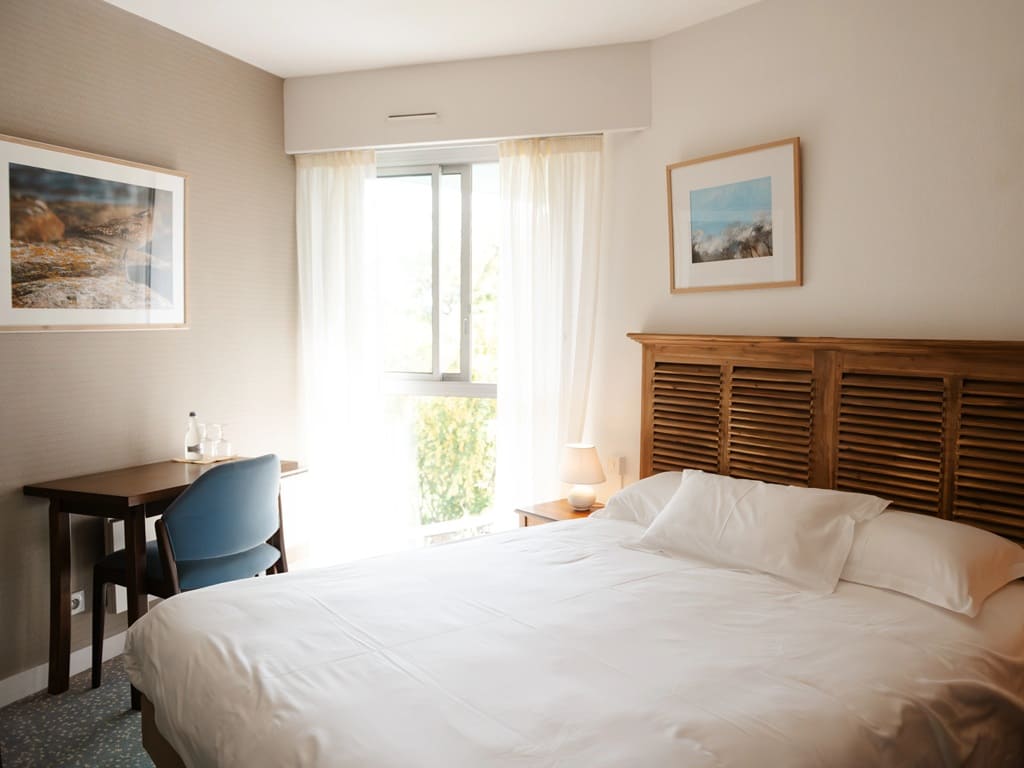
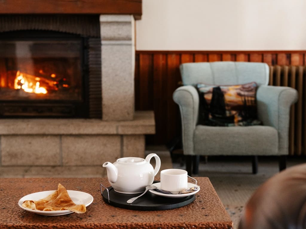
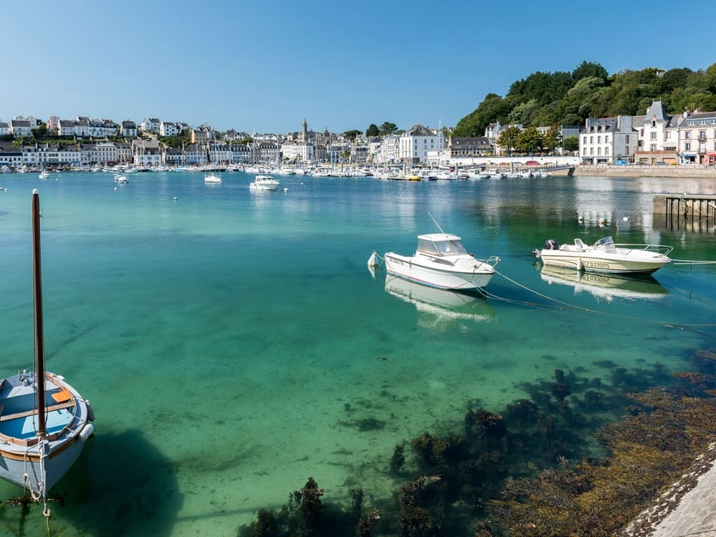
Audierne: Auberge du Cabestan, M. Rinquin, 02 98 51 00 32, Email Built by our parents 60 years ago, this house with neo-Breton architecture has always been a true family home. Just a stone's throw from the port of Audierne, 2 km from the GR®34 and 12 km from the Pointe du Raz, the inn is the ideal starting point for discovering Cap Sizun. Here, we take our time. Take time for a coffee on the terrace, a chat at breakfast, or to lose your gaze upon the granite church and its elegant bell tower. |
|
Accommodation or business, on or near a GR®, make yourself known to hikers on GR-INFOSTo register, please send me by email the following information: your address, your phone number, the link to your website, a brief description of your establishment, as well as 5 beautiful photos. See examples here.Registration price (French-English): €35 / 1 year, €50 / 2 years or €100 / 5 years per GR®. Renewable. |
Long-distance hiking trails (GR):
Regional long-distance hiking trails (GRP) and island loops:
 It is highly recommended to follow the trail markers throughout your hike and to bring the FFRandonnée topo-guide. You will also find information on MonGR.fr.
GR®, PR®, GRP®, and the corresponding trail markers (white/red, yellow, and yellow/red) are trademarks of the French Hiking Federation (FFRandonnée). They may not be reproduced without permission. The French Hiking Federation, a state-approved organization, includes local groups that create and maintain hiking routes on GR®, PR®, and GRP®. It publishes topo-guides for these hiking routes. With your donations, support the work of thousands of volunteer trail markers at FFRandonnée.
GR-Infos.com is an editorial partner of MonGR.fr.
| Return |
A former holiday hotel with a garden along the Allier river, L'Etoile Guest House is located in La Bastide-Puylaurent between Lozere, Ardeche, and the Cevennes in the mountains of Southern France. At the crossroads of GR®7, GR®70 Stevenson Path, GR®72, GR®700 Regordane Way, GR®470 Allier River springs and gorges, GRP® Cevenol, Ardechoise Mountains, Margeride. Numerous loop trails for hiking and one-day biking excursions. Ideal for a relaxing and hiking getaway.
Copyright©gr-infos.com (Authorization for private use only)
