
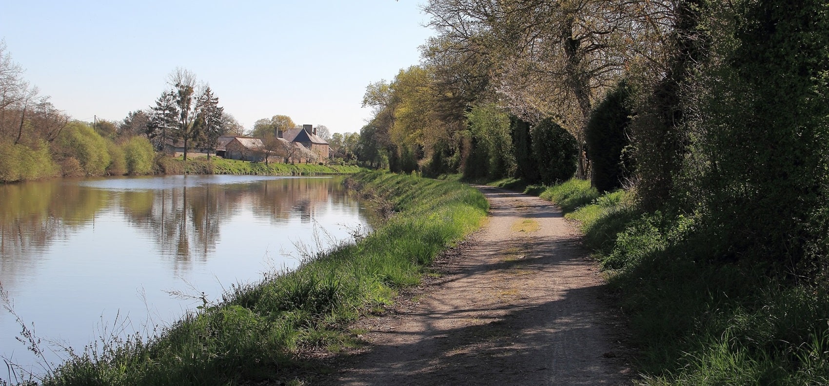
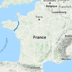
The GR®39 crosses Upper Brittany from North to South. It has been inhabited since prehistoric times and has seen the rise and fall of kingdoms, battles, and cultural exchanges. Medieval castles, Romanesque churches, and archaeological sites dot the region. On the northern coasts, you will find coastal birds such as the razorbill and the grey seal. The razorbill is endangered, with fewer than thirty pairs remaining. The grey seal breeds in the Iroise Sea, near Molène and Ouessant. The flora of Upper Brittany is adapted to its Atlantic climate. You will see a great diversity of hygrophilous plants near the coastlines, lakes, and rivers. The Glénan narcissus, endemic to the Glénan archipelago, is a remarkable example. The viviparous eryngo, a rare plant, is found only in Morbihan.
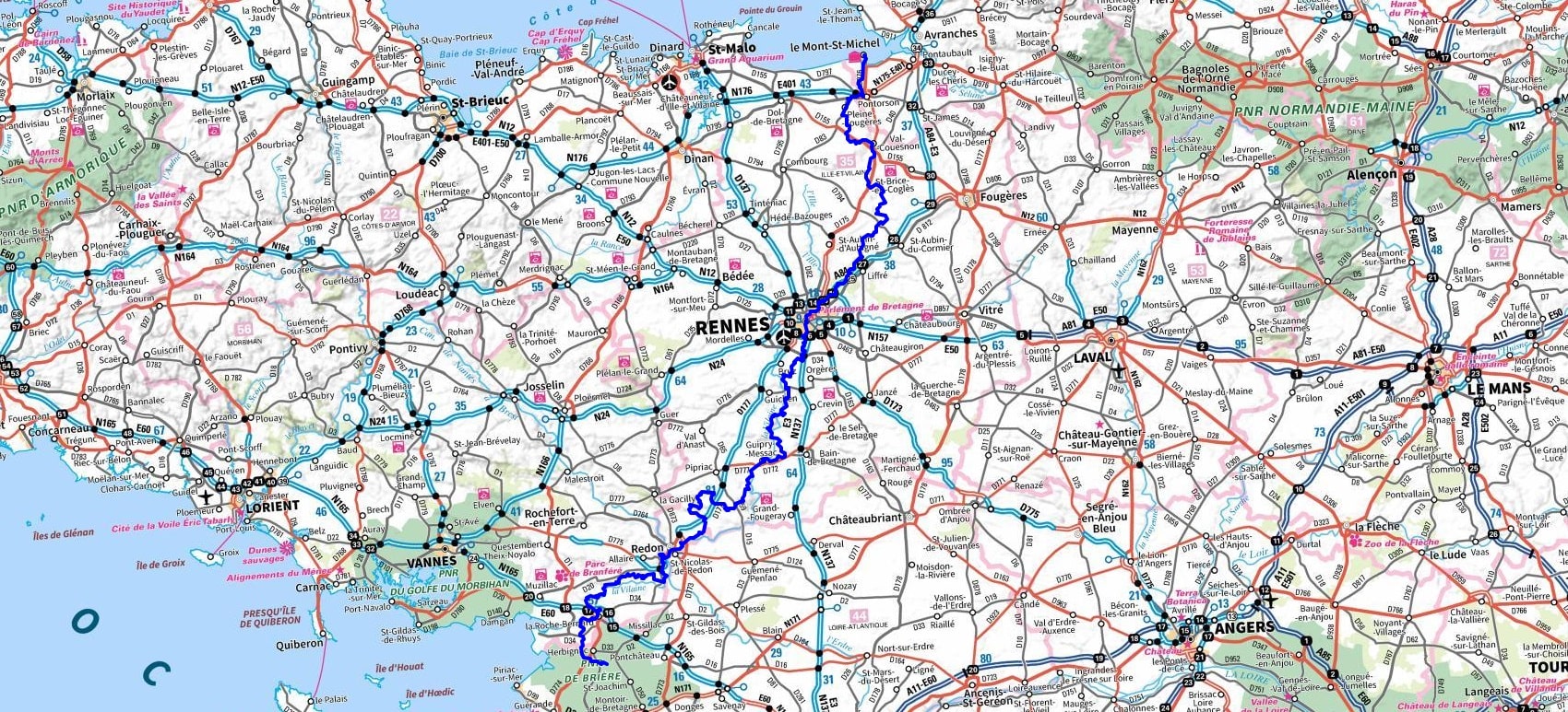
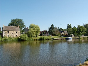
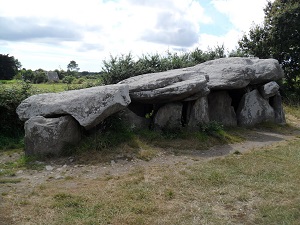
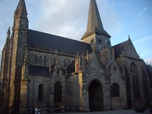

 Distance: 314km, Elevation maximum: 115m, Elevation minimum: 1m, Elevation gain uphill: 3400m
|
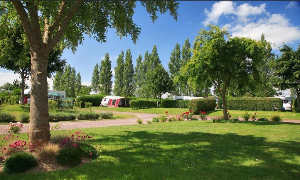
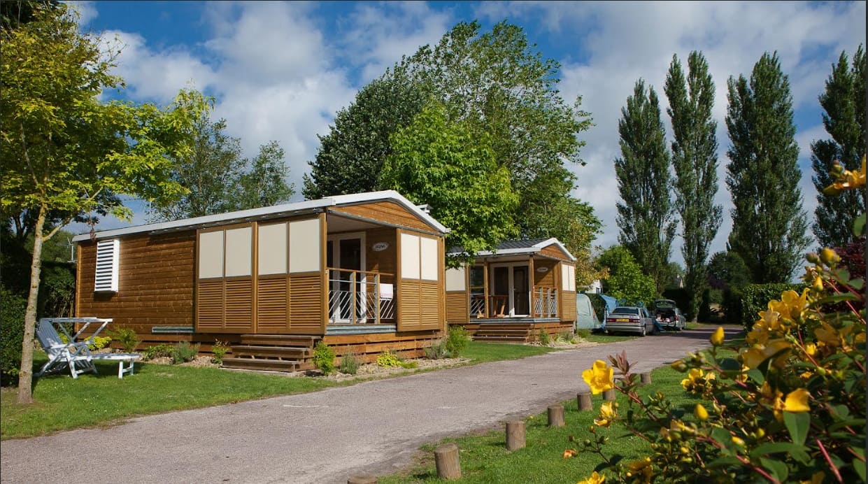
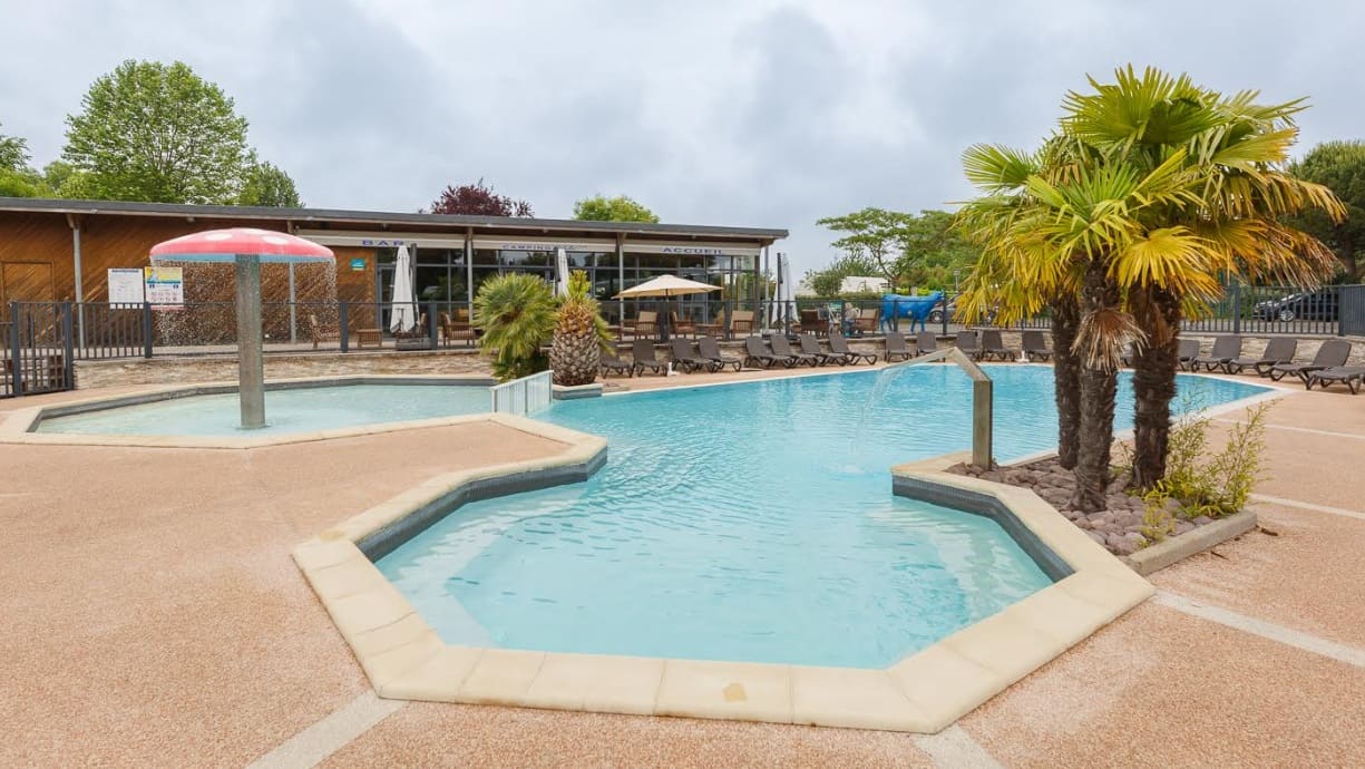
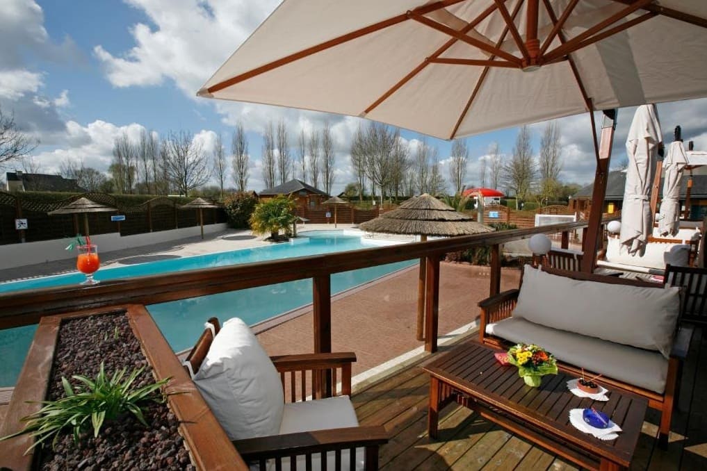
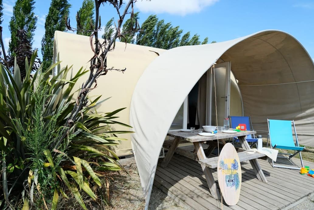
Pontorson : Camping Haliotis, Boulevard Patton 50170 Pontorson, 02 33 68 11 59, Email Campsite located on the banks of the Couesnon, 5 minutes from the bay of Mont Saint Michel and 40 minutes from the beach, on the outskirts of the small town of Pontorson with all its shops. The Haliotis campsite exudes serenity, just like its zen garden. Its floral and landscaped setting is ideal for relaxation and will appeal to both couples and families. |
|
Accommodation or business, on or near a GR®, make yourself known to hikers on GR-INFOSTo register, please send me by email the following information: your address, phone number, website link, a brief description of your establishment, and 5 beautiful photos. See examples hereRegistration fee (French-English): 35€/1year, 50€/2years or 100€/5years per GR®. Renewable. |
Nearby paths:
 It is advisable to follow the beacons all along your hike and to bring the FFRandonnée topo-guide. You will also find information on MonGR.fr.
GR®, PR®, GRP®, and the corresponding signs of markings (white/red, yellow and yellow/red) are trademarks of the French Federation of Hiking. They may not be reproduced without permission. The French Federation of Hiking, state-approved, includes organizations that create and maintain hiking routes on GR®, PR® and GRP®. It publishes topo-guides for these hiking routes. With your donations, support the actions of the thousands of volunteer markers of the FFRandonnée.
GR-Infos.com is an editorial partner of MonGR.fr.
| Return |
Former holiday hotel with a garden along the Allier, L'Etoile Guest House is located in La Bastide-Puylaurent between Lozere, Ardeche, and the Cevennes in the mountains of Southern France. At the crossroads of GR®7, GR®70 Stevenson Path, GR®72, GR®700 Regordane Way, GR®470 Allier River springs and gorges, GRP® Cevenol, Ardechoise Mountains, Margeride. Numerous loop trails for hiking and one-day biking excursions. Ideal for a relaxing and hiking getaway.
Copyright©gr-infos.com (Authorization for private use only)
