
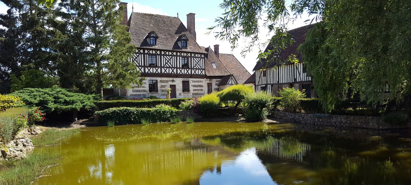
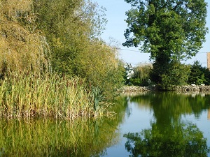
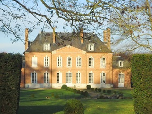
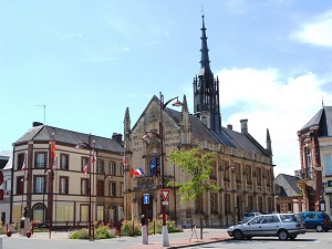
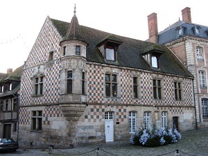
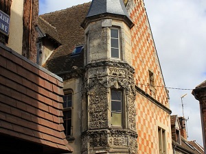
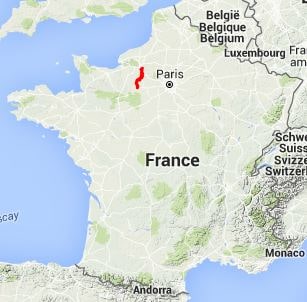
The GR222 long-distance hiking trail connects the confluence of the Seine and Andelle rivers to the edge of the Perche region. The path follows ancient communication routes between medieval abbeys and fortified towns that once protected the borders of the Duchy of Normandy. The heritage sites along the way are exceptional: from the abbeys of the Risle Valley to the half-timbered houses of Beaumont-le-Roger, culminating in the Madeleine Tower in Verneuil, a masterpiece of Flamboyant Gothic architecture. In terms of nature, hikers traverse ever-changing landscapes, alternating between chalk cliffs, vast forests like the Beaumont Forest, and the secluded valleys of the Charentonne and Iton rivers. Water is ever-present on this route, carving out fertile valleys and feeding the ancient moats of medieval towns.
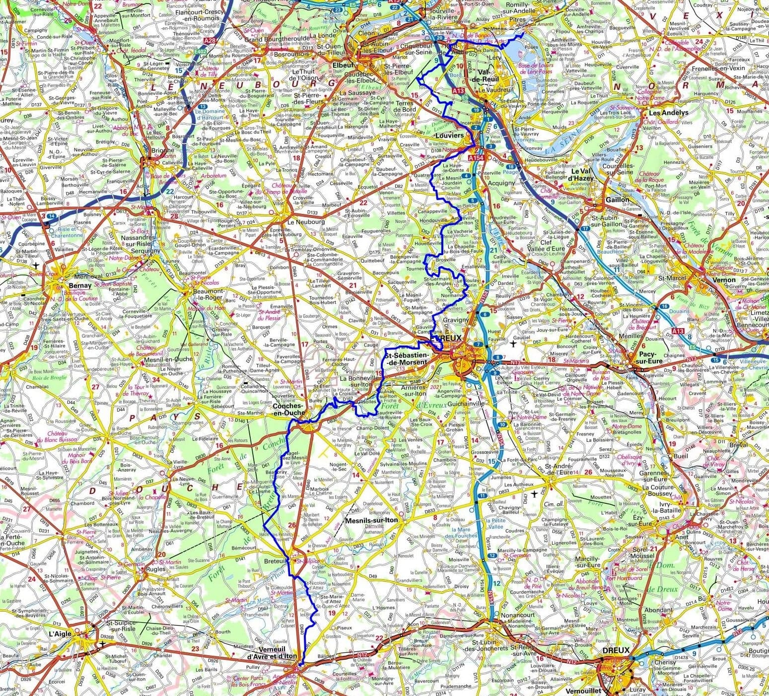
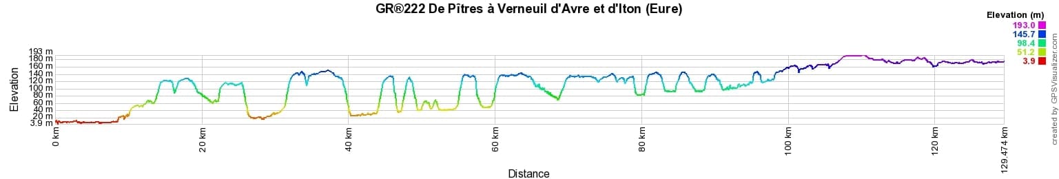
 Distance: 129km, Elevation maximum: 193m, Elevation minimum: 4m, Elevation gain uphill: 1216m
IGN Maps: Conches-En-Ouche - IGN 1913E. Breteuil (Eure) - IGN 1914E. La Neuve-Lyre - IGN 1914O. Foret de Bord Louviers - IGN 2012OT. Evreux - IGN 2013O. Verneuil-Sur-Avre - IGN 1915E.
Nearby paths:
![]() It is advisable to follow the beacons all along your hike and to bring you the FFRandonnee topo-guide. You will also find information on MonGR.fr.
It is advisable to follow the beacons all along your hike and to bring you the FFRandonnee topo-guide. You will also find information on MonGR.fr.
GR®, PR®, GRP®, and the corresponding signs of markings (white / red, yellow and yellow / red) are trademarks of the French Federation of Hiking. They may not be reproduced without permission. The French Federation of Hiking, state-approved, includes organizations that create and maintain hiking routes on GR®, PR® and GRP®. It publishes guides these topo hiking routes. With your donations, support the actions of the thousands of volunteer markers of the FFRandonnee.
GR-Infos.com is an editorial partner of MonGR.fr.
| Return |

Former holiday hotel with a garden along the Allier, L'Etoile Guest House is located in La Bastide-Puylaurent between Lozere, Ardeche, and the Cevennes in the mountains of Southern France. At the crossroads of GR®7, GR®70 Stevenson Path, GR®72, GR®700 Regordane Way, GR®470 Allier River springs and gorges, GRP® Cevenol, Ardechoise Mountains, Margeride. Numerous loop trails for hiking and one-day biking excursions. Ideal for a relaxing and hiking getaway.
Copyright©gr-infos.com (Authorization for private use only)
To help us maintain and improve GR-Infos.com, a contribution of 2€ is desired via Wero or bank transfer. Thank you!