
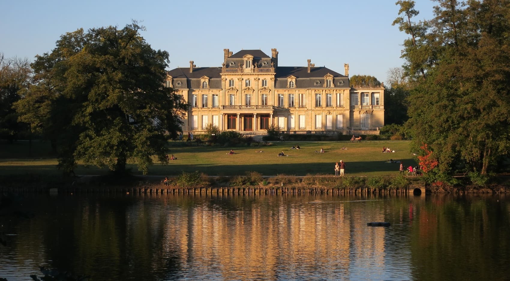
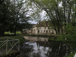
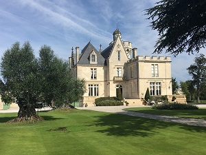
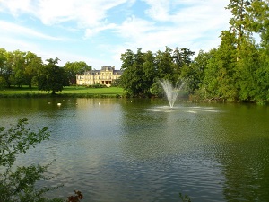
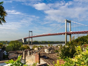
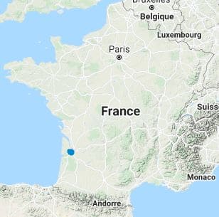
Starting from the iconic Pont de Pierre, the route heads south towards the bustling banks of Bègles and the peaceful, wooded parks of Gradignan, where the shores of the Eau Bourde beautifully reveal a hidden heritage of ancient priories and historic mills. Passing steadily through Pessac and Mérignac, walkers encounter a fascinating mix of modern urban architecture and renowned, orderly vineyards before venturing into the dense, refreshing wooded areas of Le Haillan and Saint-Médard-en-Jalles. Between Le Taillan-Médoc and Blanquefort, the landscape noticeably becomes wilder, seamlessly blending grand château grounds with the vital, protected marshland areas of Bruges. Finally, crossing the sweeping Garonne River to the right bank marks a dramatic change in topography at Lormont, Cenon, and Floirac. Here, the striking limestone hillsides offer magnificent natural viewpoints, boasting breathtaking, panoramic views of the famous Port of the Moon.
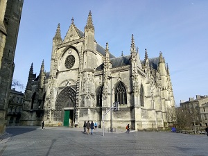
Nicknamed the "Pearl of Aquitaine," Bordeaux gracefully unfolds its stunning classical elegance along the wide curves of the Garonne River, specifically highlighting the world-famous Port of the Moon. Its rich history, deeply marked by lucrative maritime trade and strong English influence, is clearly evident in the golden, glowing facades of 18th-century buildings and the undeniably majestic Place de la Bourse. Beyond its exceptional architectural heritage—such as the soaring Saint-Michel spire—the city generously opens onto a sweeping natural landscape where the river continually dictates the rhythm and scenery. Just a few kilometers away from the bustling center, world-renowned vineyards create endless horizons of orderly, meticulously tended hillsides, while numerous urban parks and thoughtfully landscaped quays offer vibrant green spaces right in the heart of the city. Additionally, the close proximity of the Landes de Gironde and the Arcachon Basin significantly enriches this setting, adding deep pine forests and wild, shifting dunes to the region's diverse appeal.
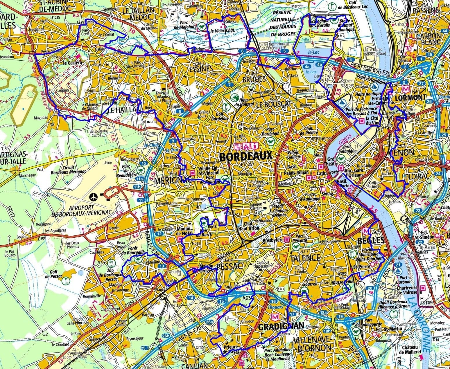
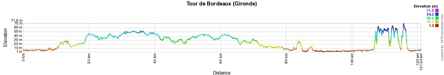
 Distance: 137km, Elevation maximum: 76m, Elevation minimum: 1m, Elevation gain uphill: 600m
IGN Maps: 1436SB - SAINT-MEDARD-EN-JALLES / CASTELNAU-DE-MEDOC. 1437SB - SAINT-JEAN-D'ILLAC / BIGANOS. 1536OT - BORDEAUX / SUD-MEDOC. 1537SB - PESSAC / LA BREDE.
Nearby paths:
![]() It is advisable to follow the beacons all along your hike and to bring the FFRandonnée topo-guide. You will also find information on MonGR.fr.
It is advisable to follow the beacons all along your hike and to bring the FFRandonnée topo-guide. You will also find information on MonGR.fr.
GR®, PR®, GRP® and the corresponding markings are trademarks of the French Federation of Hiking. They may not be reproduced without permission. The French Federation of Hiking, state-approved, includes organizations that maintain hiking routes. It publishes guides for these routes. With your donations, support the actions of the thousands of volunteer markers of the FFRandonnée.
GR-Infos.com is an editorial partner of MonGR.fr.
| Return |

Former holiday hotel with a garden along the Allier, L'Etoile Guest House is located in La Bastide-Puylaurent between Lozere, Ardeche, and the Cevennes in the mountains of Southern France. At the crossroads of GR®7, GR®70 Stevenson Path, GR®72, GR®700 Regordane Way, GR®470 Allier River springs and gorges, GRP® Cevenol, Ardechoise Mountains, Margeride. Numerous loop trails for hiking and one-day biking excursions. Ideal for a relaxing and hiking getaway.
Copyright©gr-infos.com (Authorization for private use only)
To help us maintain and improve GR-Infos.com, a contribution of 2€ is desired via Wero or bank transfer. Thank you!