
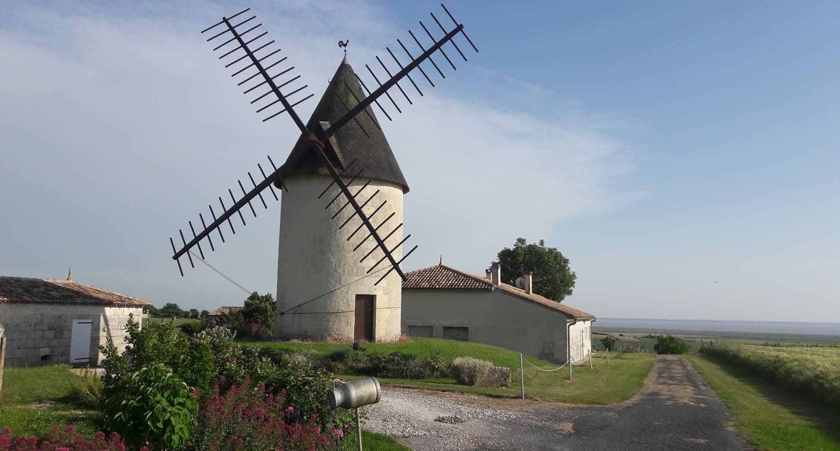
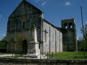
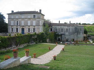
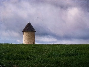
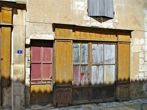
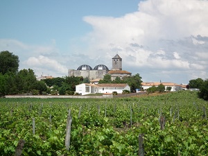
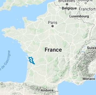
The GR®360 long-distance hiking trail winds between the verdant valleys of the Charente and Seudre rivers, traversing vineyard landscapes renowned for Cognac and Pineau des Charentes, as well as serene marshlands and oak forests. Following in the footsteps of pilgrims on the Way of St. James, the path passes through ancient Gallo-Roman towns, serving as a reminder that Saintes (Mediolanum Santonum) was once a major imperial capital. The architectural heritage is one of the trail's highlights, featuring an exceptional concentration of rural Romanesque churches with finely sculpted facades typical of the Saintongeais style. Along the way, hikers will discover Renaissance châteaux, medieval market halls, and charming villages built of stone and water. The trail also offers a rich array of wildlife, particularly in the wetlands where storks and herons nest, while the limestone hillsides shelter surprising Mediterranean flora, including wild orchids.
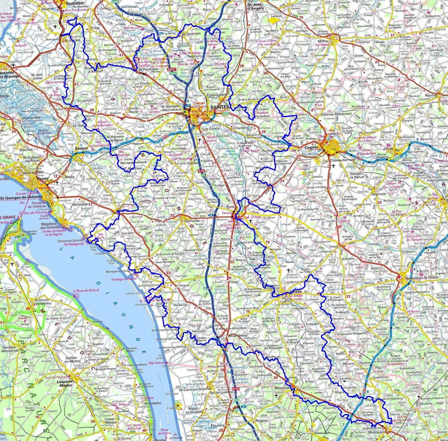
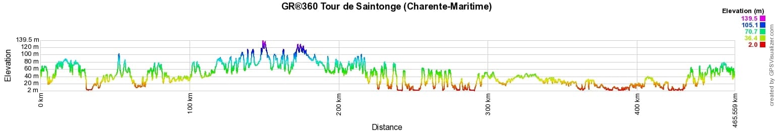
 Distance: 465km, Elevation maximum: 139m, Elevation minimum: 2m, Elevation gain uphill: 3694m
IGN Maps: Tonnay-Charente (1430E). Rochefort Marennes (1430OT). St-Porchaire (1431E). Saujon (1432E). Saintes (1531O). Mortagne-sur-Gironde (1433E). Mirambeau (1533O). Montendre (1534E). Baignes-Ste-Radegonde (1633O). Brossac (1634E). Montguyon (1634O). Burie (1531E). Saintes (1531O). Perignac (1532E). Jonzac (1533E).
Nearby paths:
![]() It is advisable to follow the beacons throughout your itinerary and to take the Fédération Française de la Randonnée Pédestre topo-guide with you. You will also find information on MonGR.fr.
It is advisable to follow the beacons throughout your itinerary and to take the Fédération Française de la Randonnée Pédestre topo-guide with you. You will also find information on MonGR.fr.
GR®, PR®, GRP®, and the corresponding signs of markings (white / red, yellow and yellow / red) are trademarks of the French Federation of Hiking. They may not be reproduced without permission. The French Federation of Hiking, state-approved, includes organizations that create and maintain hiking routes on GR®, PR®, and GRP®. It publishes guides for these topo hiking routes. With your donations, you support the actions of the thousands of FFRandonnée volunteer markers.
GR-Infos.com is an editorial partner of MonGR.fr.
| Return |

Former holiday hotel with a garden along the Allier, L'Etoile Guest House is located in La Bastide-Puylaurent between Lozere, Ardeche, and the Cevennes in the mountains of Southern France. At the crossroads of GR®7, GR®70 Stevenson Path, GR®72, GR®700 Regordane Way, GR®470 Allier River springs and gorges, GRP® Cevenol, Ardechoise Mountains, Margeride. Numerous loop trails for hiking and one-day biking excursions. Ideal for a relaxing and hiking getaway.
Copyright©gr-infos.com (Authorization for private use only)
To help us maintain and improve GR-Infos.com, a contribution of 2€ is desired via Wero or bank transfer. Thank you!