
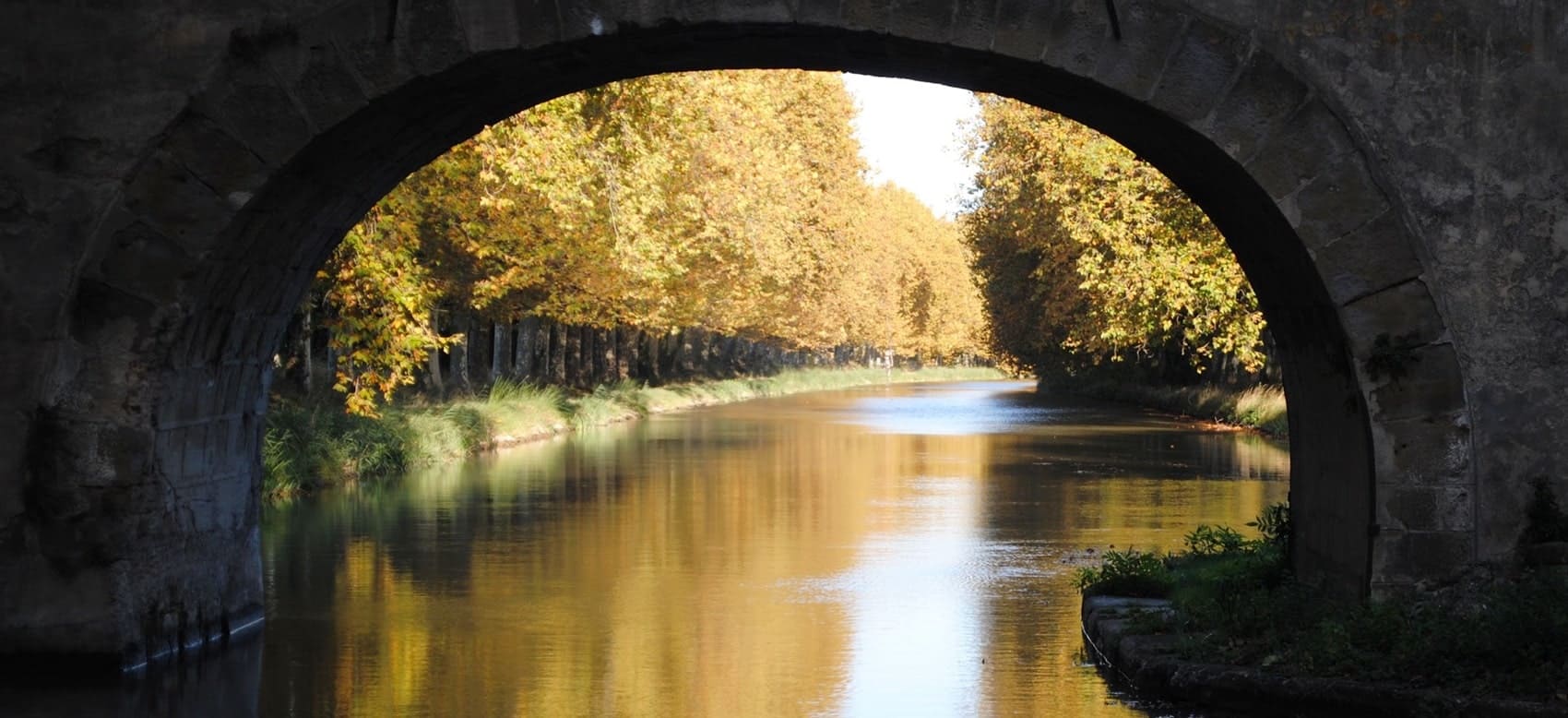
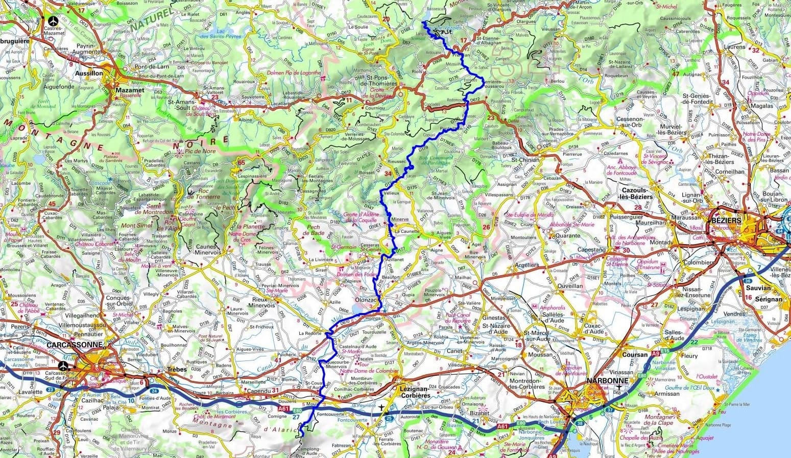
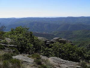
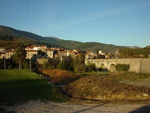
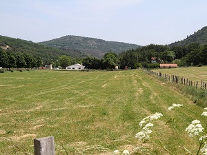
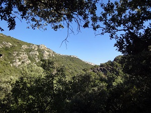
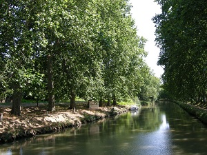
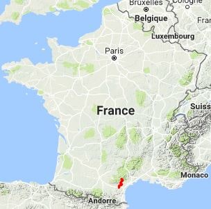
The GR®77, a long-distance hiking trail between the Espinouse and Corbières mountains, begins on the granite peaks of the Hérault region with a spectacular waterfall. The route then descends towards the Minervois, a region characterized by karst topography and fragrant garrigue scrubland. Passing through Pardailhan and Vélieux, hikers discover a landscape of limestone plateaus carved by deep canyons. Historically, this path has been a land of resistance and passage, linking the mountain areas to the wine-growing plains. Heritage is omnipresent: remains of Cathar castles, dry-stone huts, and circular villages bear witness to ancient human habitation. Reaching the Signal de l'Alaric, a true lookout point in the Aude department, offers a 360° panorama stretching from the Pyrenees to the Mediterranean, concluding a journey where rugged geology meets the rich terroirs of the South.
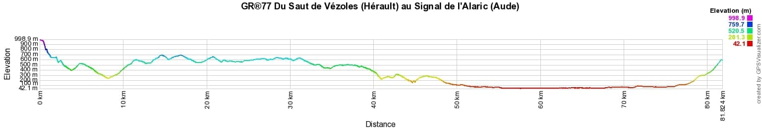
 Distance: 82km, Elevation maximum: 996m, Elevation minimum: 42m, Elevation gain uphill: 2022m
IGN Maps: Monts de Lacaune la Salvetat-sur-Agout PNR du Haut Languedoc (2443ET). Somail Minervois St-Pons-de-Thomieres PNR du Haut-Languedoc (2444ET). Lezignan-Corbieres (2445E). Peyriac-Minervois (2445O). Capendu (2446O).
Nearby paths:
![]() It is advisable to follow the beacons all along your hike and to bring the FFRandonnee topo-guide. You will also find information on MonGR.fr.
It is advisable to follow the beacons all along your hike and to bring the FFRandonnee topo-guide. You will also find information on MonGR.fr.
GR®, PR®, GRP®, and the corresponding signs of markings (white/red, yellow and yellow/red) are trademarks of the French Federation of Hiking. They may not be reproduced without permission. The French Federation of Hiking, state-approved, includes organizations that create and maintain hiking routes on GR®, PR® and GRP®. It publishes guides for these topo hiking routes. With your donations, support the actions of the thousands of volunteer markers of the FFRandonnee.
GR-Infos.com is an editorial partner of MonGR.fr.
| Return |

Former holiday hotel with a garden along the Allier, L'Etoile Guest House is located in La Bastide-Puylaurent between Lozere, Ardeche, and the Cevennes in the mountains of Southern France. At the crossroads of GR®7, GR®70 Stevenson Path, GR®72, GR®700 Regordane Way, GR®470 Allier River springs and gorges, GRP® Cevenol, Ardechoise Mountains, Margeride. Numerous loop trails for hiking and one-day biking excursions. Ideal for a relaxing and hiking getaway.
Copyright©gr-infos.com (Authorization for private use only)
To help us maintain and improve GR-Infos.com, a contribution of 2€ is desired via Wero or bank transfer. Thank you!