
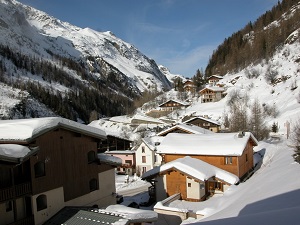
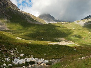
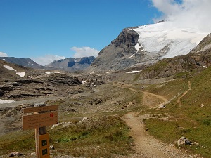
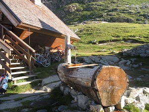
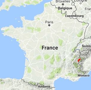
The GR®55, in the heart of the Haute-Tarentaise and Maurienne valleys, offers a spectacular immersion into France's first National Park, created in 1963 to save the ibex. This historic route crosses the legendary Col de la Vanoise, once used by porters carrying salt and cheese between the Tarentaise and Maurienne valleys. The landscape is dominated by glaciers and the majestic Grande Casse, the highest peak in the Vanoise at 3,855 metres. The fauna is emblematic: ibex, chamois and marmots are frequently encountered, while the bearded vulture has been successfully reintroduced. The flora is equally remarkable, with vast meadows of wildflowers in summer.

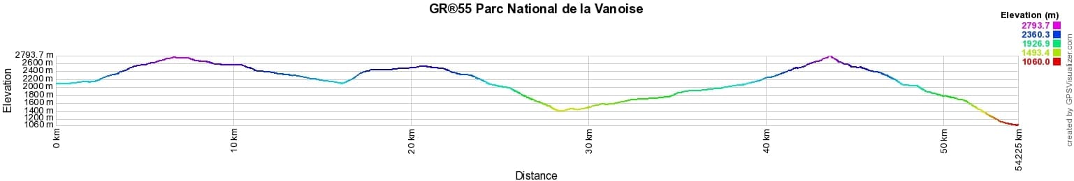
 Distance: 54km, Elevation maximum: 2796m, Elevation minimum: 1059m, Elevation gain uphill: 2495m
Nearby paths:
![]() It is advisable to follow the beacons all along your hike and to bring the FFRandonnée topo-guide. You will also find information on MonGR.fr.
It is advisable to follow the beacons all along your hike and to bring the FFRandonnée topo-guide. You will also find information on MonGR.fr.
GR®, PR®, GRP®, and the corresponding signs of markings (white/red, yellow and yellow/red) are trademarks of the French Federation of Hiking. They may not be reproduced without permission. The French Federation of Hiking, state-approved, includes organizations that create and maintain hiking routes on GR®, PR® and GRP®. It publishes topo-guides for these hiking routes. With your donations, support the actions of the thousands of volunteer markers of the FFRandonnée.
GR-Infos.com is an editorial partner of MonGR.fr.
| Return |

Former holiday hotel with a garden along the Allier, L'Etoile Guest House is located in La Bastide-Puylaurent between Lozere, Ardeche, and the Cevennes in the mountains of Southern France. At the crossroads of GR®7, GR®70 Stevenson Path, GR®72, GR®700 Regordane Way, GR®470 Allier River springs and gorges, GRP® Cevenol, Ardechoise Mountains, Margeride. Numerous loop trails for hiking and one-day biking excursions. Ideal for a relaxing and hiking getaway.
Copyright©gr-infos.com (Authorization for private use only)
To help us maintain and improve GR-Infos.com, a contribution of 2€ is desired via Wero or bank transfer. Thank you!