
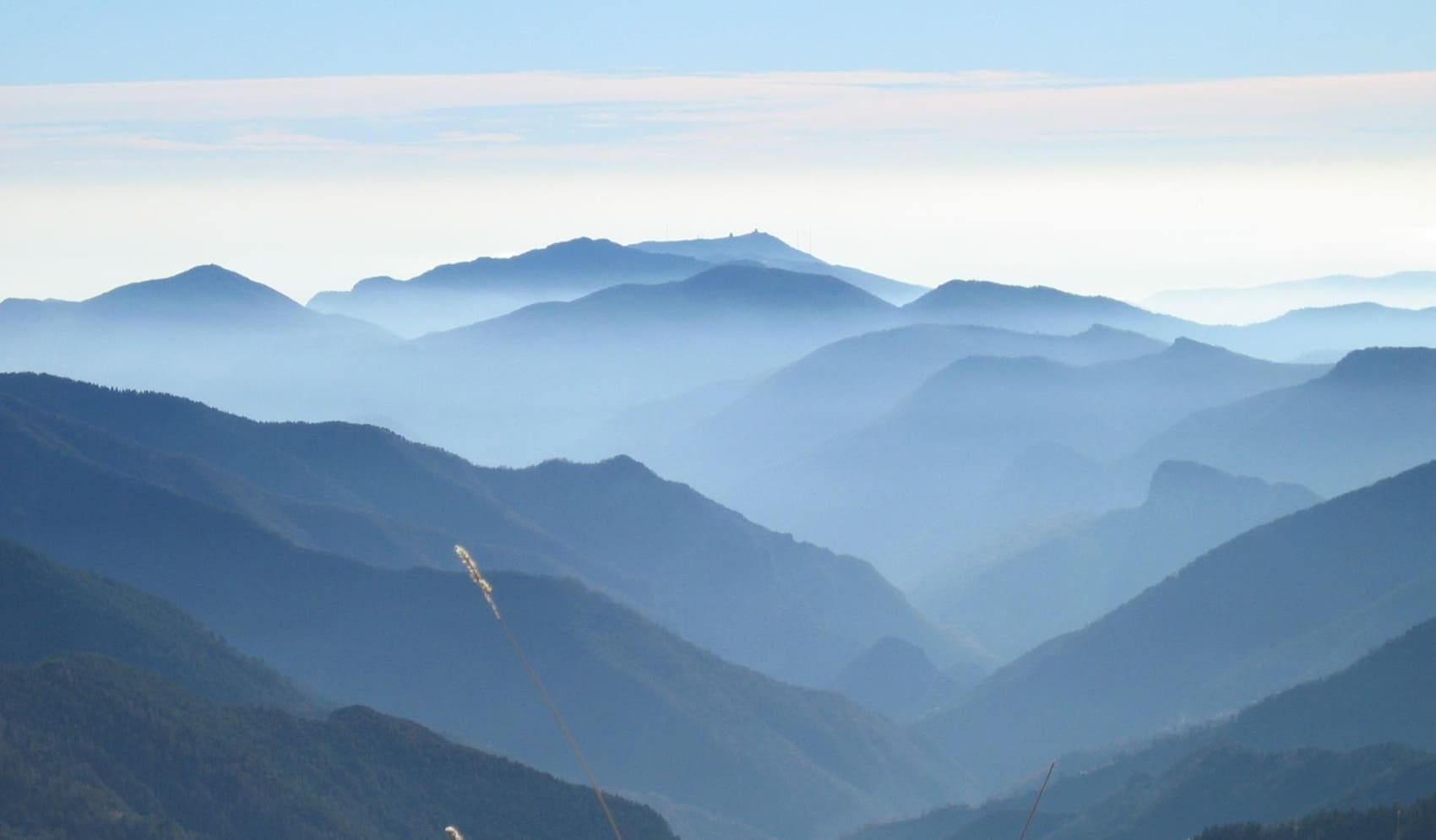
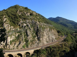
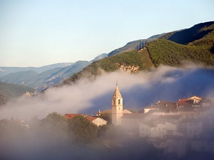
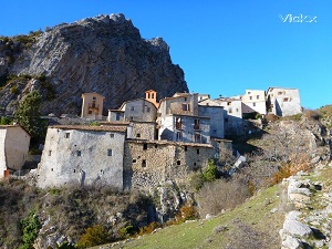
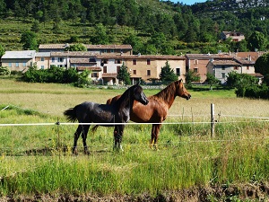
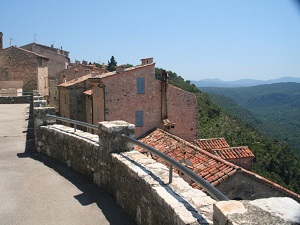
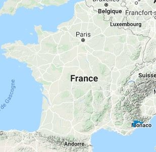
The GR®510 trail traverses the Roya, Bévéra, Vésubie, Tinée, Cians, Var, Estéron, and Siagne valleys. This undulating landscape offers a striking illustration of Alpine altitudinal zonation, taking hikers from Mediterranean olive groves to high-altitude larch forests. Along the way, hikers encounter medieval hilltop villages, Baroque chapels adorned with colorful frescoes, and ancient stone bridges. The route follows the old cross-valley communication paths that allowed local populations to travel between the valleys without descending back to the coast. The natural environment is wild and unspoiled, harboring exceptional biodiversity at the crossroads of Alpine and Provençal influences.

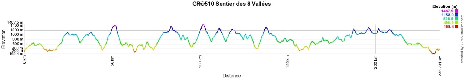
 Distance: 235.24km, Elevation maximum: 1478m, Elevation minimum: 175m, Elevation gain uphill: 13539m
IGN Maps: Vallee de la Roya Vallee des Merveilles Pn du Mercantour - 3841OT. Haute Vallee du Var Gorges de Daluis Pn du Mercantour - 3540ET. Haut Esteron Prealpes de Grasse - 3542ET. Castellane Lac de Castillon - 3542OT. Haute-Siagne - 3543ET. Moyenne Tinee La Colmiane Valdeblore Pn du Mercantour - 3641ET. Moyen Var - 3641OT. Vallee de l'Esteron Vallee du Loup - 3642ET. Vallee de la Bevera et des Paillons Pn du Mercantour - 3741ET. Vallee de la Vesubie Pn du Mercantour - 3741OT.
Nearby paths:
![]() It is advisable to follow the beacons throughout your itinerary and to take the Fédération Française de la Randonnée Pédestre topo-guide with you. You will also find information on MonGR.fr.
It is advisable to follow the beacons throughout your itinerary and to take the Fédération Française de la Randonnée Pédestre topo-guide with you. You will also find information on MonGR.fr.
GR®, PR®, GRP®, and the corresponding signs of markings (white / red, yellow and yellow / red) are trademarks of the French Federation of Hiking. They may not be reproduced without permission. The French Federation of Hiking, state-approved, includes organizations that create and maintain hiking routes on GR®, PR®, and GRP®. It publishes guides for these topo hiking routes. With your donations, you support the actions of the thousands of FFRandonnée volunteer markers.
GR-Infos.com is an editorial partner of MonGR.fr.
| Return |

Former holiday hotel with a garden along the Allier, L'Etoile Guest House is located in La Bastide-Puylaurent between Lozere, Ardeche, and the Cevennes in the mountains of Southern France. At the crossroads of GR®7, GR®70 Stevenson Path, GR®72, GR®700 Regordane Way, GR®470 Allier River springs and gorges, GRP® Cevenol, Ardechoise Mountains, Margeride. Numerous loop trails for hiking and one-day biking excursions. Ideal for a relaxing and hiking getaway.
Copyright©gr-infos.com (Authorization for private use only)
To help us maintain and improve GR-Infos.com, a contribution of 2€ is desired via Wero or bank transfer. Thank you!