
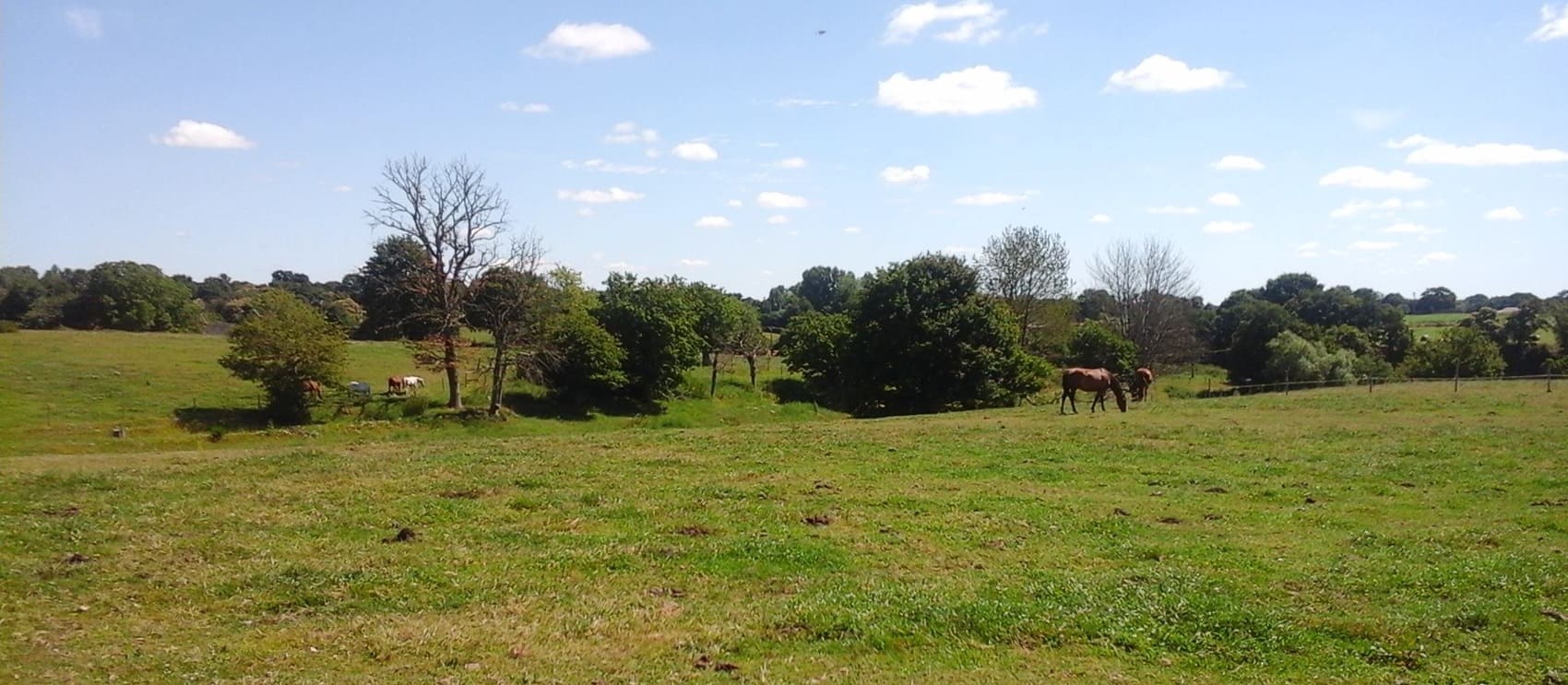
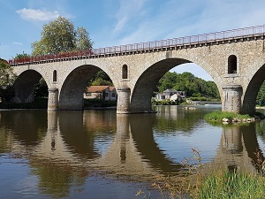
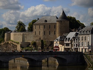
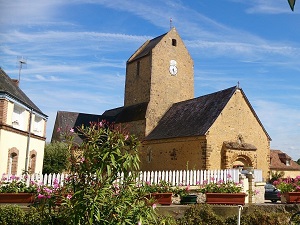
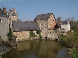
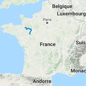
The GR®365 long-distance hiking trail crosses the Marches of Brittany to reach the Anjou region, stretching from the Croix du Palais in La Chapelle-Janson to Durtal. This path follows the former buffer zone between the Duchy of Brittany and the Kingdom of France, a territory once dotted with fortified towns and customs posts. Castles, manor houses, and ancient churches bear witness to its rich history. Durtal, the final destination, is renowned for its medieval castle overlooking the town and offering breathtaking views of the surrounding valley. Hikers can also discover remarkable natural sites, such as the banks of the Loire River. The landscapes between the Sarthe and Maine-et-Loire departments are characterized by gentle hillsides, lush vineyards, and productive orchards.
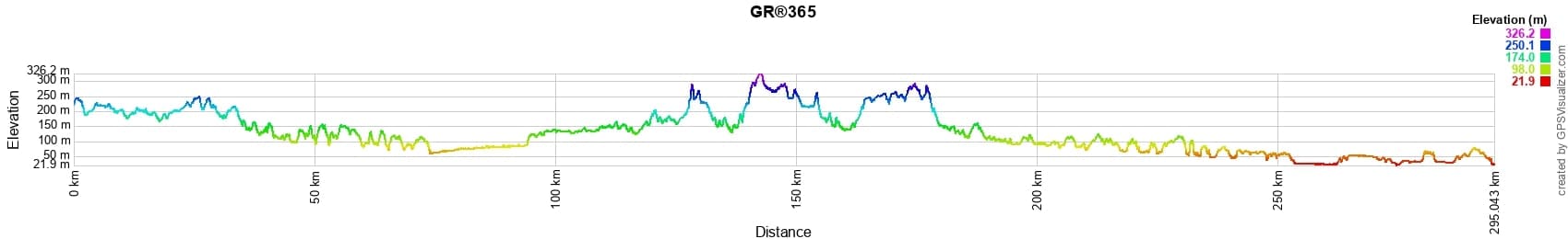
 Distance: 296km, Elevation maximum: 326m, Elevation minimum: 22m, Elevation gain uphill: 2784m
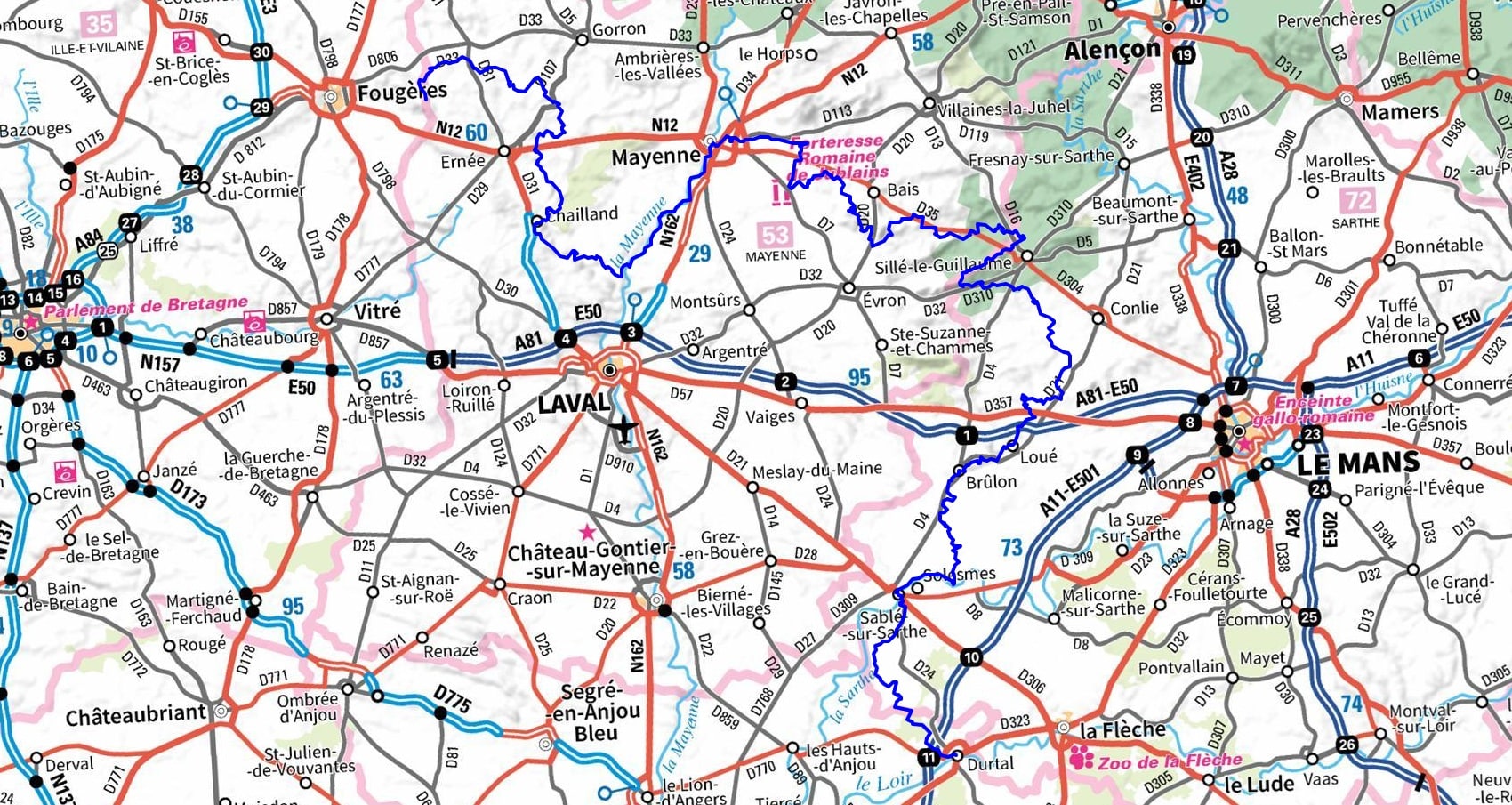
IGN Maps: 1417SB - ERNEE / GORRON. 1418SB - LAVAL / PORT-BRILLET. 1517SB - MAYENNE / LE HORPS. 1518SB - EVRON / MONTSURS. 1520SB - Chateau-GONTIER / GREZ-EN-BOUERE. 1617SB - VILLAINES-LA-JUHEL / SAINT-PIERRE-DES-NIDS / ALPES MANCELLES. 1618SB - SILLE-LE-GUILLAUME / CONLIE / SAINTE-SUZANNE. 1619SB - LOUE / BRULON / NOYEN-SUR-SARTHE. 1620SB - LA FLECHE / SABLE-SUR-SARTHE. 1621SB - BAUGE-EN-ANJOU / DURTAL.
Nearby paths:
![]() It is advisable to follow the beacons throughout your itinerary and to take the Fédération Française de la Randonnée Pédestre topo-guide with you. You will also find information on MonGR.fr.
It is advisable to follow the beacons throughout your itinerary and to take the Fédération Française de la Randonnée Pédestre topo-guide with you. You will also find information on MonGR.fr.
GR®, PR®, GRP®, and the corresponding signs of markings (white / red, yellow and yellow / red) are trademarks of the French Federation of Hiking. They may not be reproduced without permission. The French Federation of Hiking, state-approved, includes organizations that create and maintain hiking routes on GR®, PR®, and GRP®. It publishes guides for these topo hiking routes. With your donations, you support the actions of the thousands of FFRandonnée volunteer markers.
GR-Infos.com is an editorial partner of MonGR.fr.
| Return |

Former holiday hotel with a garden along the Allier, L'Etoile Guest House is located in La Bastide-Puylaurent between Lozere, Ardeche, and the Cevennes in the mountains of Southern France. At the crossroads of GR®7, GR®70 Stevenson Path, GR®72, GR®700 Regordane Way, GR®470 Allier River springs and gorges, GRP® Cevenol, Ardechoise Mountains, Margeride. Numerous loop trails for hiking and one-day biking excursions. Ideal for a relaxing and hiking getaway.
Copyright©gr-infos.com (Authorization for private use only)
To help us maintain and improve GR-Infos.com, a contribution of 2€ is desired via Wero or bank transfer. Thank you!