
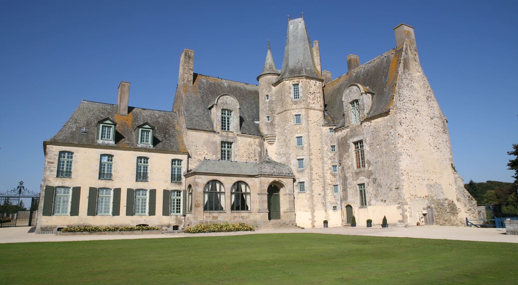
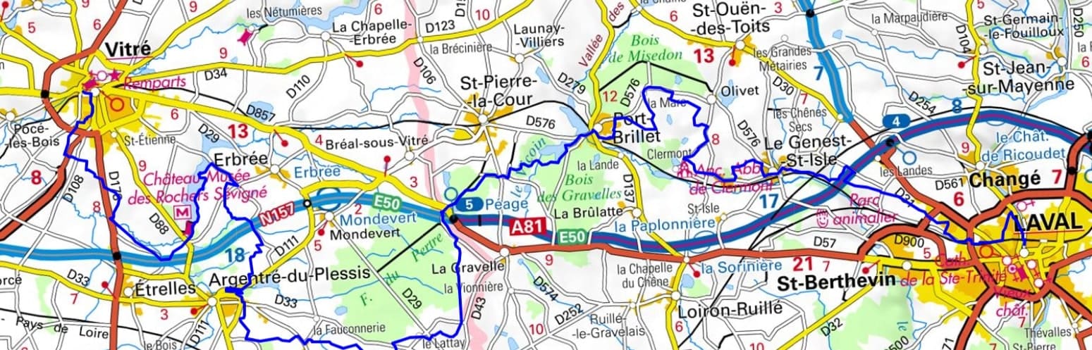
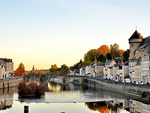
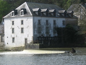
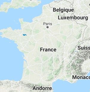
From Laval to Vitré, this hike along the Marches of Brittany is a symbolic crossing of the former buffer zone between the Kingdom of France and the Duchy of Brittany. Starting from Laval Castle, overlooking the Mayenne River, the trail leads towards Le Genest-Saint-Isle and Port-Brillet, lands of former forges where the iron industry has left its mark on the local architecture. Crossing the border into Ille-et-Vilaine at Le Pertre, hikers enter a preserved bocage landscape, dotted with schist manor houses and defensive castles. In Argentré-du-Plessis, the heritage is revealed through the Château du Plessis and its ponds, testaments to the power of the border lords. The arrival in Vitré offers a grand finale with one of the best-preserved medieval towns in France, dominated by its fortress with pointed towers.
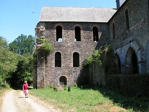
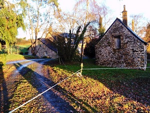
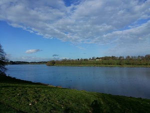
The Marches of Brittany stretch from the banks of the Loire to the English Channel coast. This territory is dotted with imposing citadels such as Fougères, Vitré, and Châteaubriant, which bear witness to a strategic military past and exceptional medieval defensive architecture. Beyond the stonework, nature expresses itself through a landscape of preserved hedgerows, dense forests, and verdant valleys, offering an ideal refuge for diverse biodiversity. The religious heritage is equally rich, with schist and granite churches dotting the charming villages with their cobbled streets. It is a region where Breton identity meets the influence of the Loire Valley, creating a unique local culture steeped in rural traditions and folk tales.
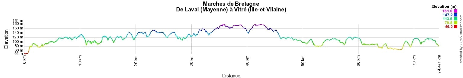
 Distance: 74km, Elevation maximum: 181m, Elevation minimum: 46m, Elevation gain uphill: 630m
IGN Maps: 1418SB - LAVAL / PORT-BRILLET. 1419SB - COSSÉ-LE-VIVIEN / L'HUISSERIE. 1319SB - LA GUERCHE-DE-BRETAGNE / RETIERS. 1318SB - VITRÉ / CHÂTEAUBOURG.
Nearby paths:
![]() It is advisable to follow the beacons all along your hike and to bring the FFRandonnée topo-guide. You will also find information on MonGR.fr.
It is advisable to follow the beacons all along your hike and to bring the FFRandonnée topo-guide. You will also find information on MonGR.fr.
GR®, PR®, GRP® and the corresponding markings are trademarks of the French Federation of Hiking. They may not be reproduced without permission. The French Federation of Hiking, state-approved, includes organizations that maintain hiking routes. It publishes guides for these routes. With your donations, support the actions of the thousands of volunteer markers of the FFRandonnée.
GR-Infos.com is an editorial partner of MonGR.fr.
| Return |

Former holiday hotel with a garden along the Allier, L'Etoile Guest House is located in La Bastide-Puylaurent between Lozere, Ardeche, and the Cevennes in the mountains of Southern France. At the crossroads of GR®7, GR®70 Stevenson Path, GR®72, GR®700 Regordane Way, GR®470 Allier River springs and gorges, GRP® Cevenol, Ardechoise Mountains, Margeride. Numerous loop trails for hiking and one-day biking excursions. Ideal for a relaxing and hiking getaway.
Copyright©gr-infos.com (Authorization for private use only)
To help us maintain and improve GR-Infos.com, a contribution of 2€ is desired via Wero or bank transfer. Thank you!