|
GR®34C
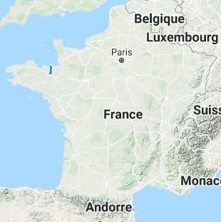
From Neal pond (Cotes-d'Armor) to Dinard (Ille-et-Vilaine)
|

|
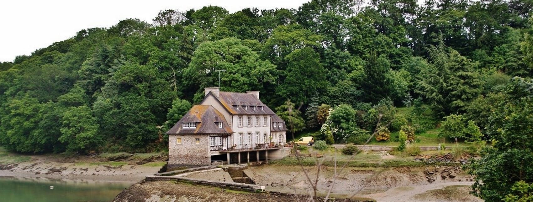
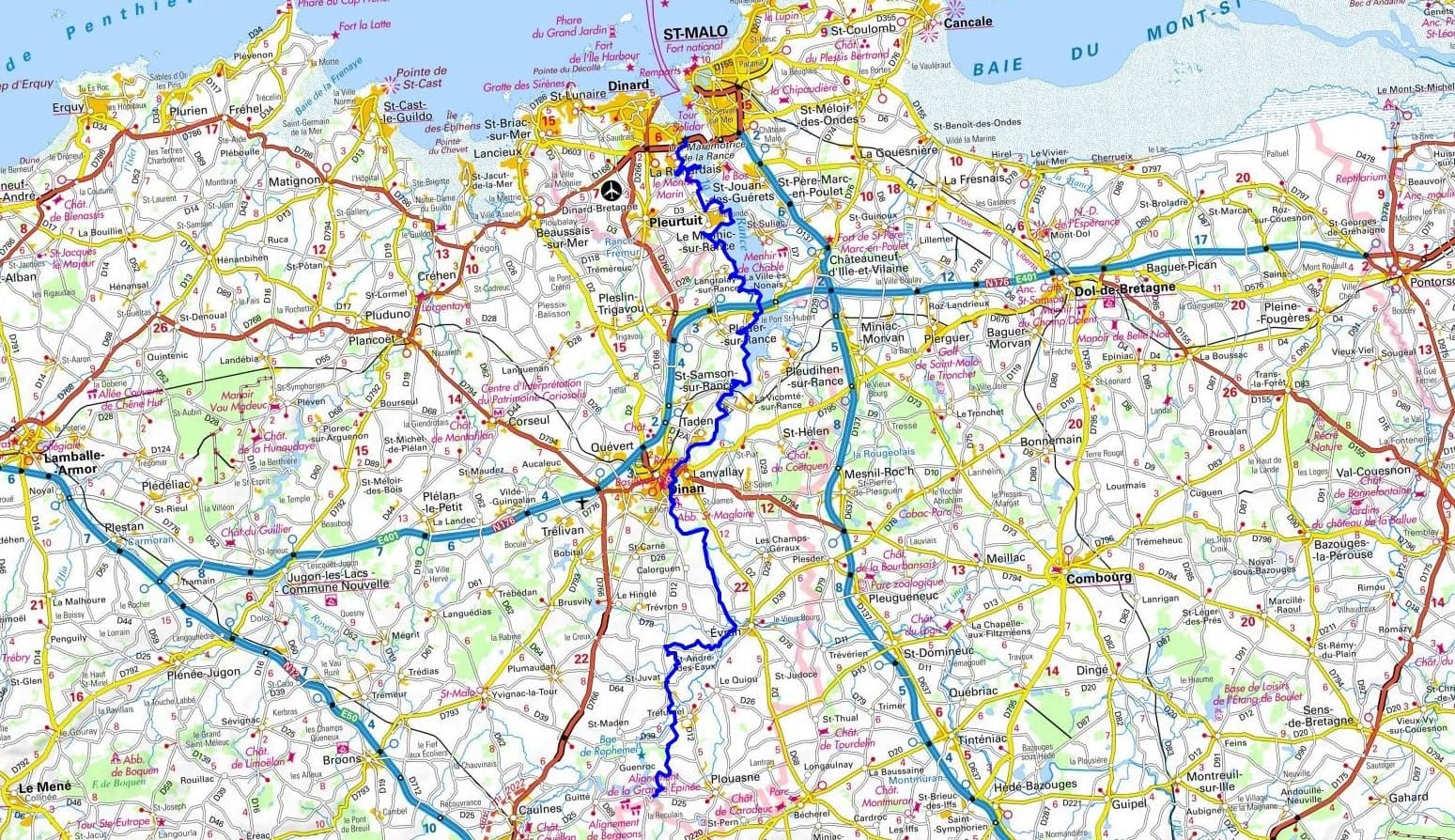
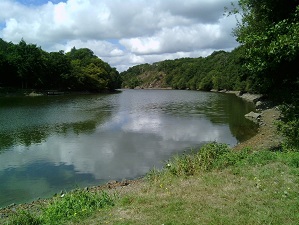
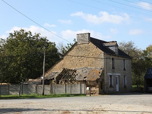
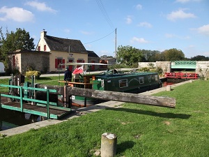
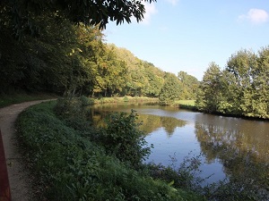
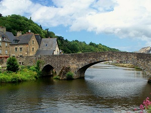
The GR®34C trail weaves its way through the scenic landscapes of Côtes-d’Armor and Ille-et-Vilaine in the beautiful region of Brittany. This captivating trail takes you on a journey from the tranquil Étang de Néal to the vibrant city of Dinard, passing through quaint locales such as Tréfumel, Saint-Juvat, Saint-André-des-Eaux, Évran, Dinan, Saint-Samson-sur-Rance, Plouër-sur-Rance, Le Minihic-sur-Rance, and Pleurtuit. Spanning a total of 66 km, the trail offers varying elevations, with its highest point reaching 94 m above sea level and its lowest dipping to 4 m. As for the natural wonders along the trail, the GR®34C meanders through the Rance estuary in Ille-et-Vilaine. This untamed and picturesque river originates from the granite-rich hinterland of Collinee. The Rance, a tidal river, is a sanctuary for a diverse range of flora and fauna, and boasts of breathtaking landscapes. As you traverse this trail, you’ll witness various human activities that add a unique charm to the landscape, including the operation of locks, boats gracefully navigating the river, and the rhythmic turning of water and tide mills.
Google Maps - Google Earth
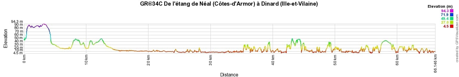

Distance: 66km, Elevation maximum: 94m, Elevation minimum: 4m, Elevation gain uphill: 676m
IGN Maps: 1117SB - TINTENIAC / CAULNES. 1116ET - SAINT-MALO / DINARD / DINAN.
 Nearby paths:
GR®34 Customs trail
GR®34A From Brehec to Perros-Guirec (Cotes-d'Armor)
GR®34C From Neal pond (Cotes-d'Armor) to Dinard (Ille-et-Vilaine)
GR®34E From Pont de Saint-Maurice (Finistere) to Pont Neuf (Morbihan)
Around Crozon peninsula (Finistere)
Around Pays Bigouden (Finistere)
 It is advisable to follow the beacons all along your hike and to bring you the FFRandonnee topo-guide. You
will also find information on MonGR.fr.
It is advisable to follow the beacons all along your hike and to bring you the FFRandonnee topo-guide. You
will also find information on MonGR.fr.
GR®, PR®, GRP®, and the corresponding signs of markings (white / red, yellow and yellow / red) are trademarks of the French
Federation of Hiking. They may not be reproduced without permission. The French Federation of Hiking, state-approved, includes organizations that create and maintain hiking routes on GR®, PR® and
GRP®. It publishes guides these topo hiking routes. With your donations, support the actions of the thousands of volunteer markers of the FFRandonnee.
GR-Infos.com is an editorial partner of MonGR.fr.

Former holiday hotel with a garden along the Allier, L'Etoile Guest House is located in La Bastide-Puylaurent between Lozere, Ardeche, and the Cevennes in the mountains of Southern France. At the crossroads of GR®7, GR®70 Stevenson Path, GR®72, GR®700 Regordane Way, GR®470 Allier River springs and gorges, GRP® Cevenol, Ardechoise Mountains, Margeride. Numerous loop trails for hiking and one-day biking excursions. Ideal for a relaxing and hiking getaway.
Copyright©gr-infos.com (Authorization for private use only)