
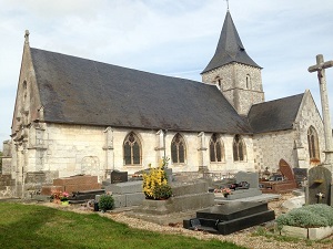
Starting in Lillebonne, this route begins with the discovery of its famous Roman theater. The path climbs towards Saint-Antoine-la-Forêt through the typical landscapes of the Pays de Caux region. Here, you can admire the clos-masures, traditional Norman farmsteads protected by tall beech hedges. The route crosses wooded valleys before reaching the Seine Valley. In Caudebec-en-Caux, "the pearl of the Seine," the Gothic church bears witness to a rich river history. The path then follows the meanders of the river towards Villequier, a place steeped in the memory of Victor Hugo. Elegant white stone houses overlook the water in a romantic setting. Between state forests and riverbanks, hikers can watch the barges glide along the current. The return journey to Notre-Dame-de-Gravenchon offers a striking contrast between industry and nature.
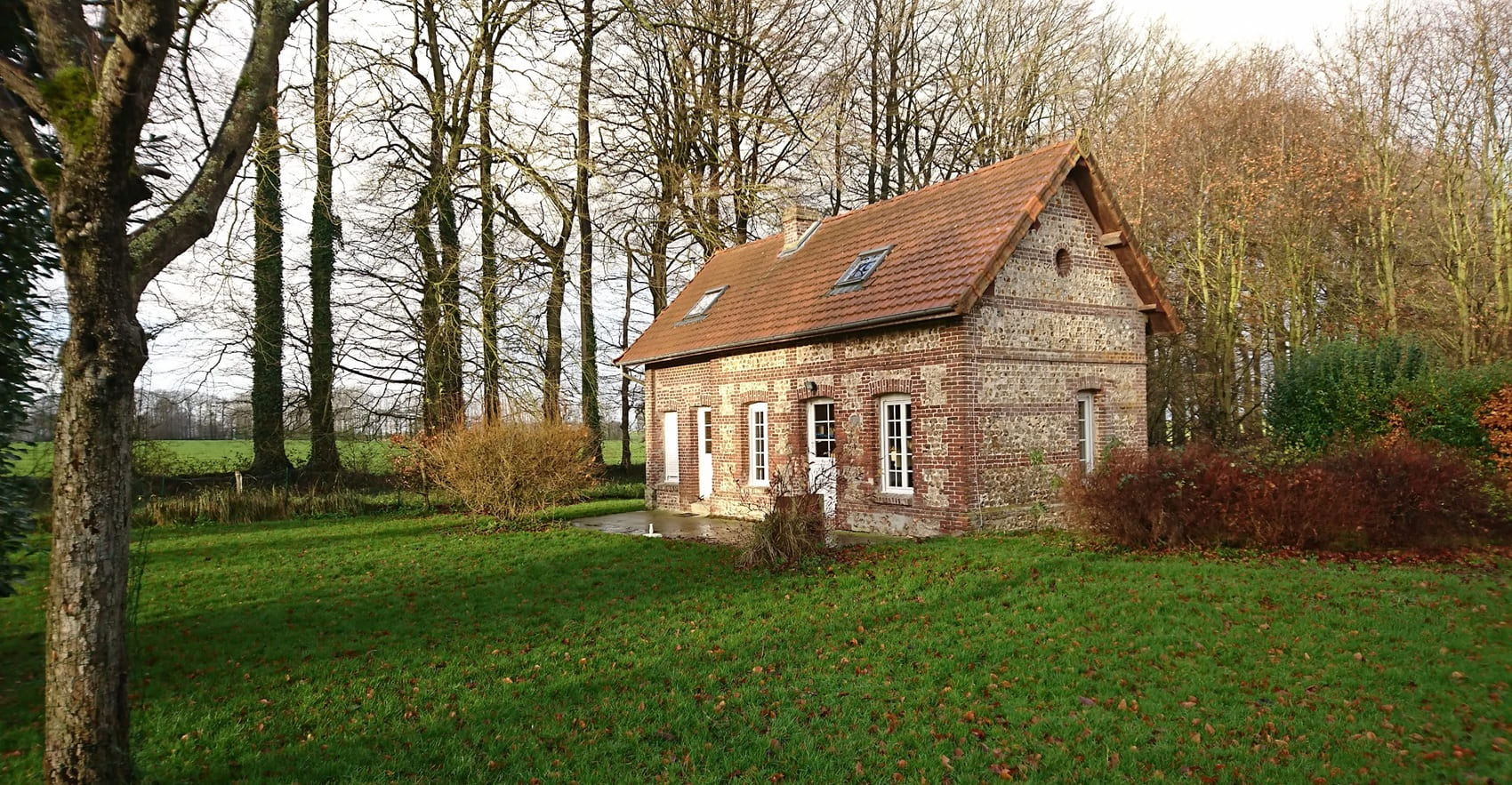
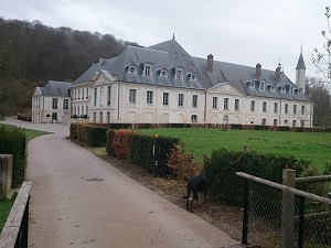
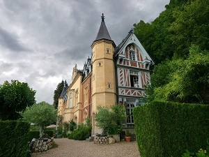
The Pays de Caux, a vast chalk plateau bordered by the meanders of the Seine, is a land of balance between the river's power and the ruggedness of the Normandy coastline. Its landscape is characterized by the famous clos-masures, traditional farmsteads enclosed by hedges of trees that protect crops from sea winds. The heritage is exceptional, marked by the valley's abbeys, such as the majestic Jumièges and Saint-Wandrille, jewels of medieval architecture. Maritime history unfolds along the river, a true commercial artery that has shaped towns of character like Caudebec-en-Caux. As for nature, the alabaster cliffs and state-owned forests, such as the Trait-Maulévrier forest, offer precious havens of biodiversity for local wildlife. It is a destination where the light, so beloved by Impressionist painters, magnifies every stone church and every apple orchard.
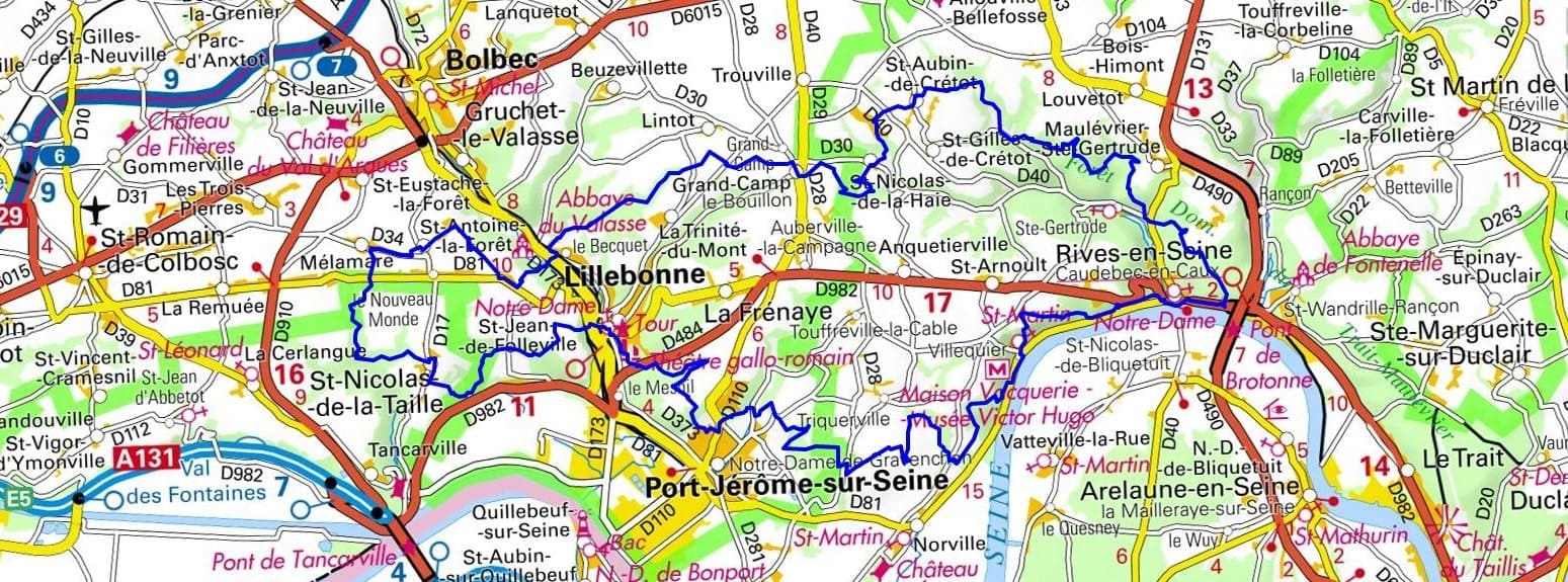
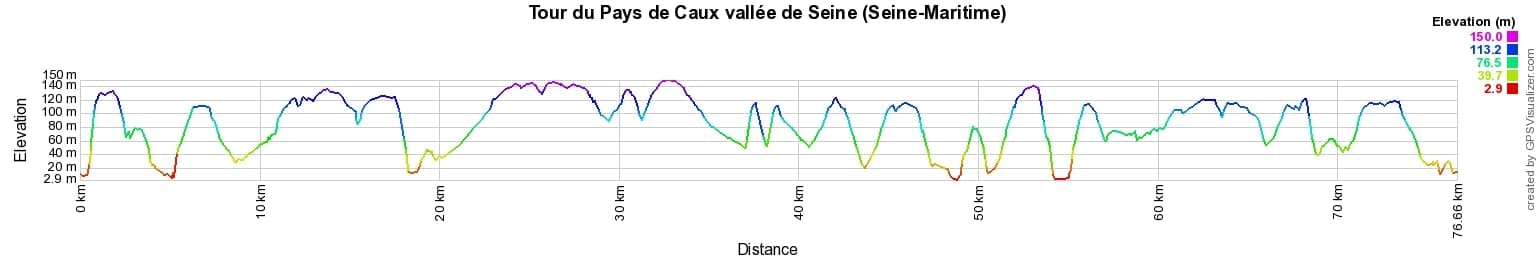
 Distance: 76km, Elevation maximum: 150m, Elevation minimum: 3m, Elevation gain uphill: 1485m
IGN Maps: Lillebonne - 1810E. Bolbec - 1810O. Pont-Audemer Tancarville Pnr des Boucles de la Seine Normande - 1811OT. Forets de Brotonne et du Trait-Maulevrier Pnr des Boucles de la Seine Normande - 1911OT.
Nearby paths:
![]() It is advisable to follow the beacons all along your hike and to bring the FFRandonnée topo-guide. You will also find information on MonGR.fr.
It is advisable to follow the beacons all along your hike and to bring the FFRandonnée topo-guide. You will also find information on MonGR.fr.
GR®, PR®, GRP® and the corresponding markings are trademarks of the French Federation of Hiking. They may not be reproduced without permission. The French Federation of Hiking, state-approved, includes organizations that maintain hiking routes. It publishes guides for these routes. With your donations, support the actions of the thousands of volunteer markers of the FFRandonnée.
GR-Infos.com is an editorial partner of MonGR.fr.
| Return |

Former holiday hotel with a garden along the Allier, L'Etoile Guest House is located in La Bastide-Puylaurent between Lozere, Ardeche, and the Cevennes in the mountains of Southern France. At the crossroads of GR®7, GR®70 Stevenson Path, GR®72, GR®700 Regordane Way, GR®470 Allier River springs and gorges, GRP® Cevenol, Ardechoise Mountains, Margeride. Numerous loop trails for hiking and one-day biking excursions. Ideal for a relaxing and hiking getaway.
Copyright©gr-infos.com (Authorization for private use only)
To help us maintain and improve GR-Infos.com, a contribution of 2€ is desired via Wero or bank transfer. Thank you!