
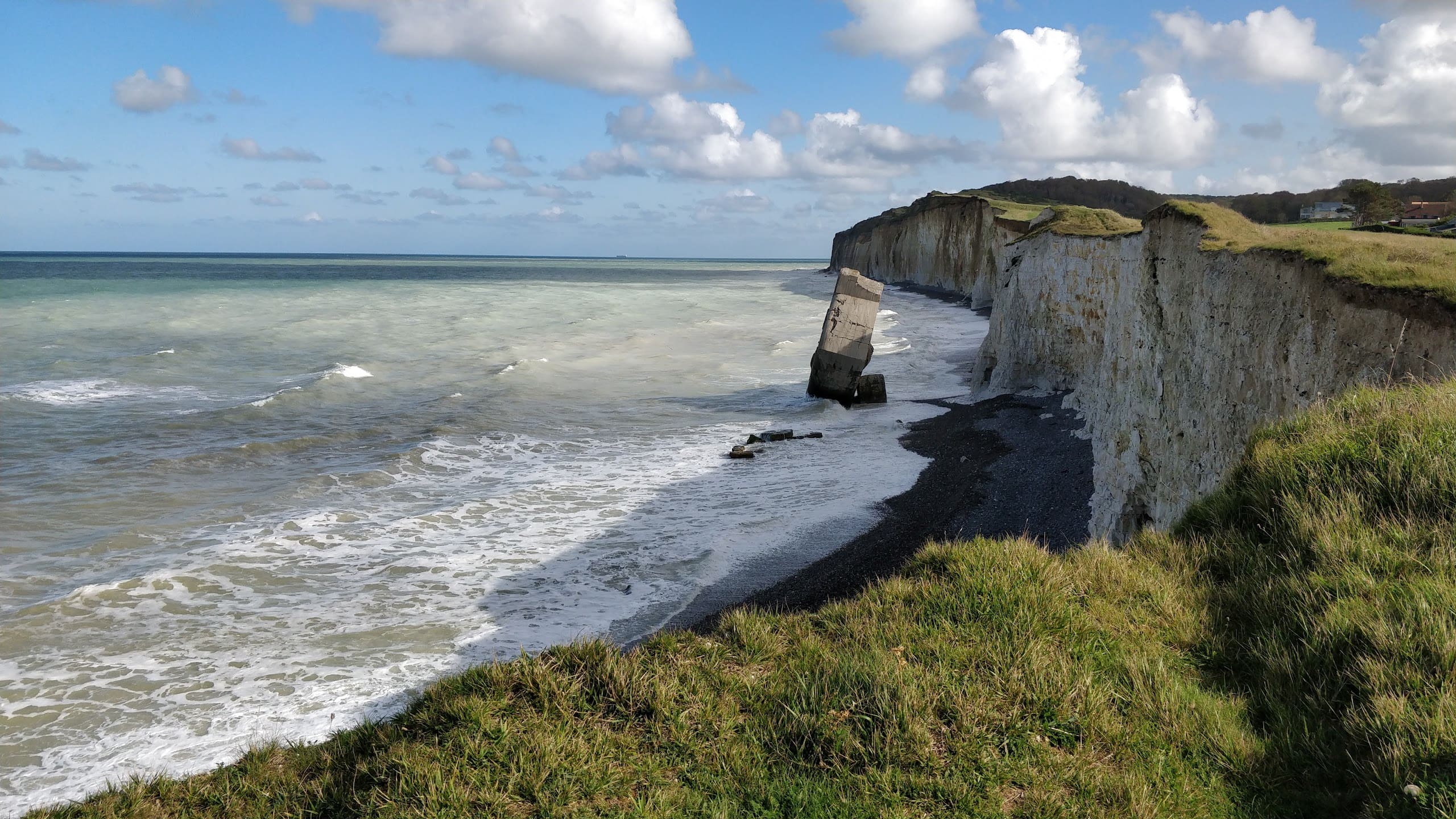
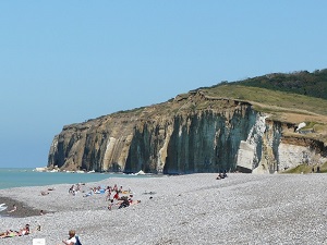
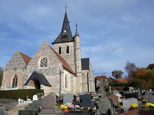
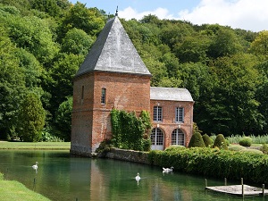
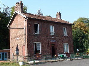
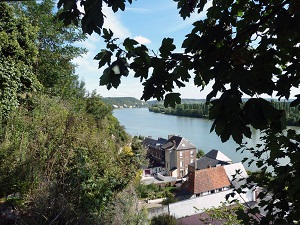
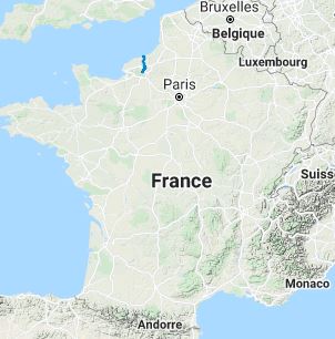
The GR212 long-distance hiking trail connects the Alabaster Coast to the meanders of the Seine. The path veers away from the chalk cliffs and into the hinterland of the Pays de Caux, primarily following the Austreberthe Valley. The built heritage is remarkably elegant: hikers encounter brick and flint manor houses, charming country churches, and exceptional parks such as that of the Château de Miromesnil. In terms of nature, the landscape evolves from coastal valleys to verdant hedgerows and plateaus of large-scale agriculture. Flora and fauna thrive in the wetlands of the valley bottoms, offering a striking contrast to the beech forests that line the route. The arrival in Duclair provides a majestic finale on the banks of the Seine, where the river begins its final meanders before reaching the estuary.
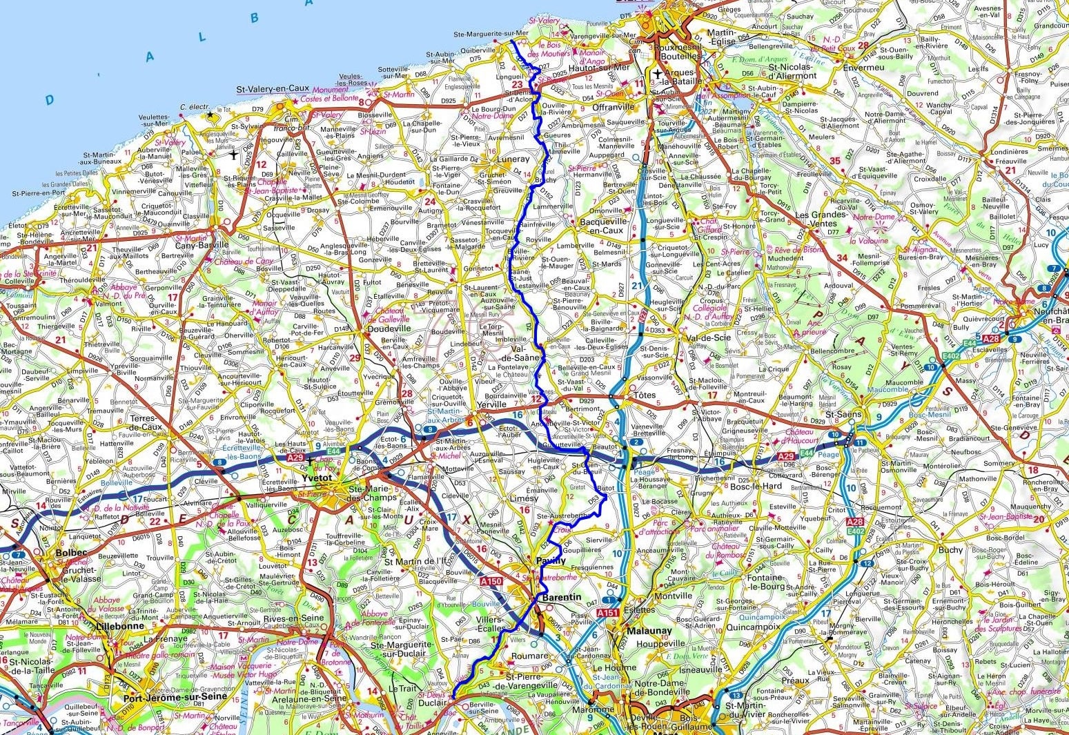
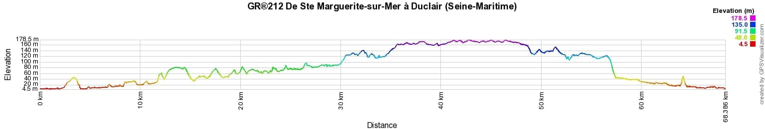
 Distance: 68km, Elevation maximum: 176m, Elevation minimum: 0m, Elevation gain uphill: 737m
IGN Maps: St-Valery-en-Caux Veules-les-Roses Varengeville-sur-Mer (1909OT). Pavilly (1910E). Rouen forets Rouennaises PNR des Boucles de la Seine Normande (1911ET). Forets de Brotonne and du Trait-Maulevrier PNR de Brotonne (1911OT).
Nearby paths:
![]() It is advisable to follow the beacons all along your hike and to bring the FFRandonnée topo-guide. You will also find information on MonGR.fr.
It is advisable to follow the beacons all along your hike and to bring the FFRandonnée topo-guide. You will also find information on MonGR.fr.
GR®, PR®, GRP® and corresponding signs are trademarks of the French Federation of Hiking. They may not be reproduced without permission. The FFRP publishes topo-guides for these hiking routes. With your donations, support the actions of the thousands of volunteer markers of the FFRandonnée.
GR-Infos.com is an editorial partner of MonGR.fr.
| Return |

Former holiday hotel with a garden along the Allier, L'Etoile Guest House is located in La Bastide-Puylaurent between Lozere, Ardeche, and the Cevennes in the mountains of Southern France. At the crossroads of GR®7, GR®70 Stevenson Path, GR®72, GR®700 Regordane Way, GR®470 Allier River springs and gorges, GRP® Cevenol, Ardechoise Mountains, Margeride. Numerous loop trails for hiking and one-day biking excursions. Ideal for a relaxing and hiking getaway.
Copyright©gr-infos.com (Authorization for private use only)
To help us maintain and improve GR-Infos.com, a contribution of 2€ is desired via Wero or bank transfer. Thank you!