
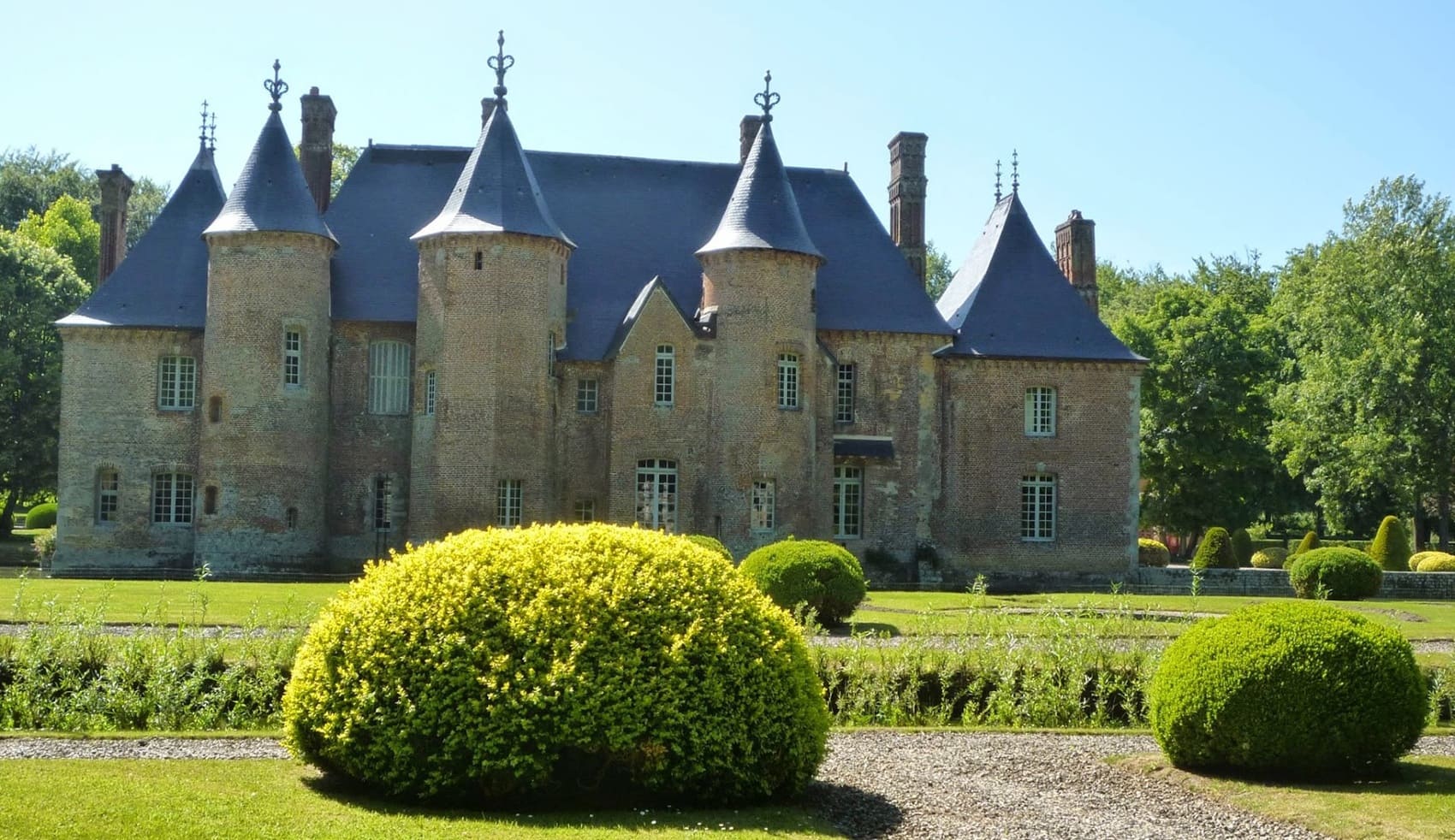
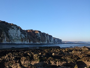
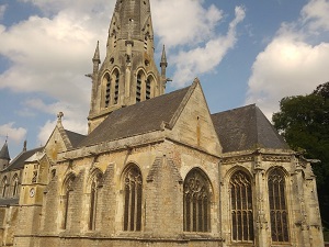
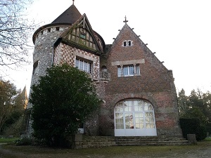
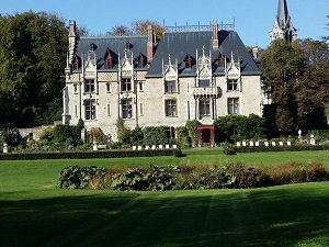
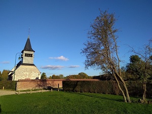
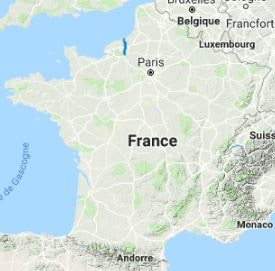
The GR210 faithfully follows the route once taken by fishmongers to deliver fresh fish from the Manche to the stalls of the Norman capital in record time. This historical dimension permeates the route, offering a journey through time from the cliffs of the Alabaster Coast to the meanders of the Seine. Initially, the path climbs above the coastline before descending into the Pays de Caux and the verdant Scie Valley. Architectural heritage abounds: country churches, brick and flint manor houses, and old watermills dot the landscape. Nature reveals itself generously, with majestic beech forests, pastures, and typical Norman apple orchards. As you approach Rouen, the landscape becomes more urbanized while still preserving panoramic views of the "City of a Hundred Spires."
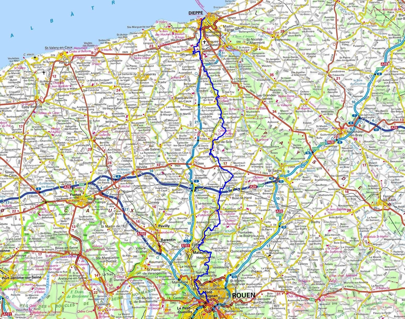
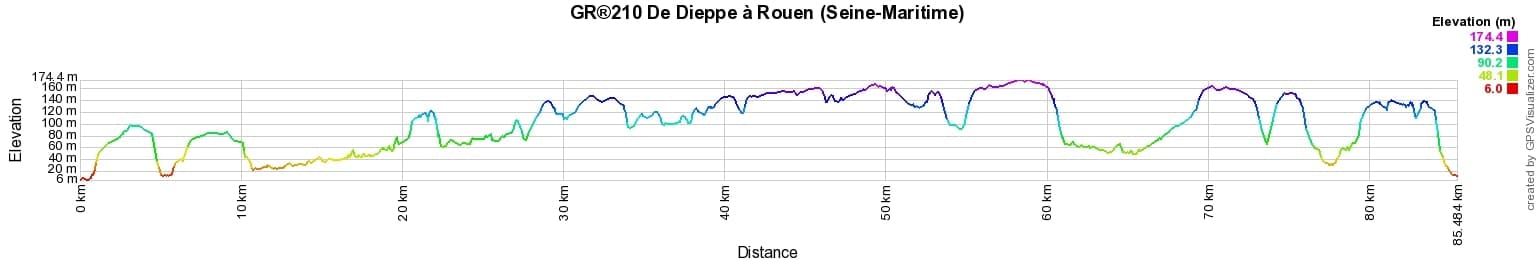
 Distance: 85km, Elevation maximum: 175m, Elevation minimum: 8m, Elevation gain uphill: 1059m
IGN Maps: Saint-Valery-En-Caux Veules-Les-Roses Varengeville-Sur-Mer - 1909OT. Rouen Forets Rouennaises Pnr des Boucles de la Seine Normande - 1911ET. Dieppe Eu - 2008OT. Foret d'Eawy Neufchatel-En-Bray - 2009OT. Cleres - 2010O
Nearby paths:
![]() It is advisable to follow the beacons all along your hike and to bring the FFRandonnée topo-guide. You will also find information on MonGR.fr.
It is advisable to follow the beacons all along your hike and to bring the FFRandonnée topo-guide. You will also find information on MonGR.fr.
GR®, PR®, GRP® and the corresponding markings are trademarks of the French Federation of Hiking. They may not be reproduced without permission. The French Federation of Hiking, state-approved, includes organizations that maintain hiking routes. It publishes guides for these routes. With your donations, support the actions of the thousands of volunteer markers of the FFRandonnée.
GR-Infos.com is an editorial partner of MonGR.fr.
| Return |

Former holiday hotel with a garden along the Allier, L'Etoile Guest House is located in La Bastide-Puylaurent between Lozere, Ardeche, and the Cevennes in the mountains of Southern France. At the crossroads of GR®7, GR®70 Stevenson Path, GR®72, GR®700 Regordane Way, GR®470 Allier River springs and gorges, GRP® Cevenol, Ardechoise Mountains, Margeride. Numerous loop trails for hiking and one-day biking excursions. Ideal for a relaxing and hiking getaway.
Copyright©gr-infos.com (Authorization for private use only)
To help us maintain and improve GR-Infos.com, a contribution of 2€ is desired via Wero or bank transfer. Thank you!