
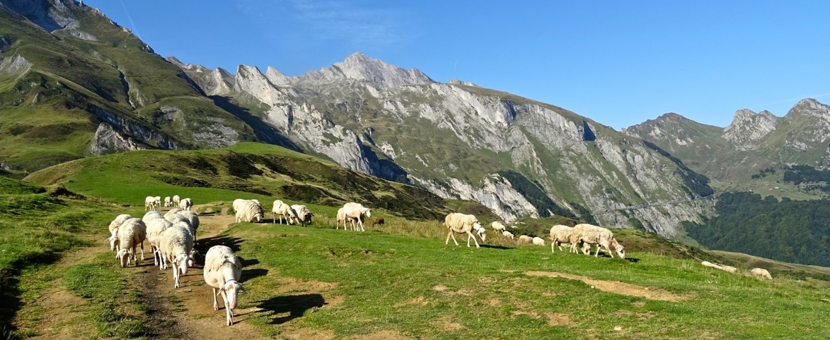
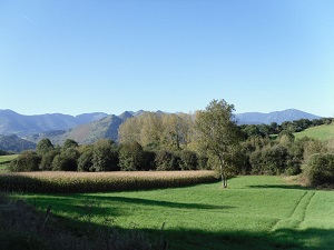
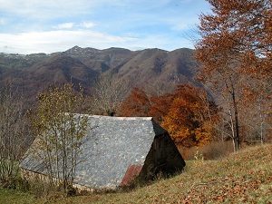
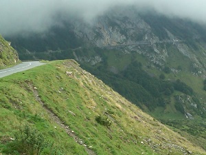
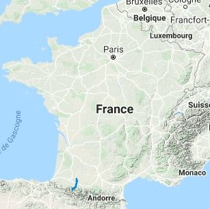
Starting in Nogaro, the heart of Armagnac country, the trail stretches south through Gascony, offering landscapes of vineyards and medieval fortified towns (bastides) with well-preserved heritage. Crossing the Adour Valley, the terrain becomes slightly more pronounced, revealing fertile farmland dotted with centuries-old church steeples before entering Béarn, where the stone and slate architecture already hints at the mountains. Historically, this route is inextricably linked to pilgrimages to Santiago de Compostela, serving as a connection between the Via Podiensis and the sanctuaries of Lourdes, a major spiritual stop on the journey. As it ventures deeper into the Hautes-Pyrénées, the plains give way to high-altitude pastures and beech forests.
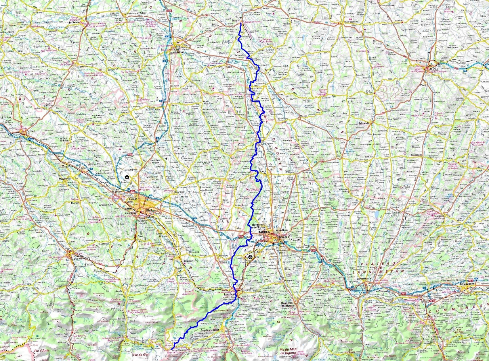
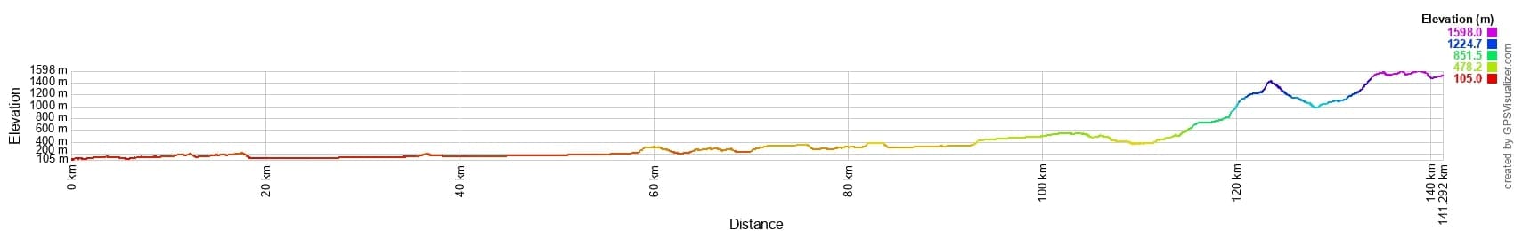
 Distance: 141 km, Maximum altitude: 1596 m, Minimum altitude: 105 m, Total elevation gain: 2994 m
IGN Maps: 1642SB - VILLENEUVE-DE-MARSAN NOGARO. 1745SB - TARBES MONTASTRUC. 1744SB - VIC-EN-BIGORRE MIÉLAN. 1743SB - PLAISANCE MONTESQUIOU. 1647ET - LOURDES ARGELES-GAZOST LE LAVEDAN. 1647OT - VIGNEMALE OSSAU CAUTERETS. 1647OTR - VIGNEMALE RÉSISTANTE OSSAU ARRENS CAUTERETS PN DES PYRÉNÉES. 1645SB - PONTACQ OSSUN GER. 1644SB - LEMBEYE SERRES-CASTET. 1643SB - AIRE-SUR-L'ADOUR RISCLE. 1546OT - OLORON-SAINTE-MARIE. 1546ET - LARUNS GOURETTE.
Nearby paths:
![]() It is advisable to follow the beacons all along your hike and to bring the FFRP topo-guide. You will also find information on MonGR.fr.
It is advisable to follow the beacons all along your hike and to bring the FFRP topo-guide. You will also find information on MonGR.fr.
® The GR® GRP® PR acronyms, as well as the corresponding trail signs (white/red, yellow and yellow/red), are trademarks of the Fédération Française de la Randonnée Pédestre. They may not be reproduced without its permission. The FFRP, recognized as being of public utility, groups together the associations which create and maintain the hiking routes on the GR® GRP® PR. It publishes topo-guides for these hiking routes. With your donations, support the actions of the thousands of volunteer markers of the FFRP.
GR-Infos.com is an editorial partner of MonGR.fr.
| Return |

Former holiday hotel with a garden along the Allier, L'Etoile Guest House is located in La Bastide-Puylaurent between Lozere, Ardeche and the Cevennes in the mountains of Southern France. At the crossroads of GR®7, GR®70 Stevenson trail, GR®72, GR®700 Regordane way, GR®470 Springs and Gorges of the Allier river, GRP® Cevenol, Ardechoise mountain, Margeride. Many loop routes for hiking and cycling for a day. Ideal for a relaxing and hiking stay.
Copyright©gr-infos.com (Authorization of use for private purposes only)
To help us maintain and improve GR-Infos.com, a contribution of 2€ is desired via Wero or bank transfer. Thank you!