
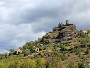
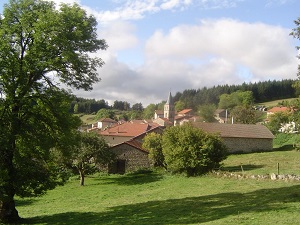
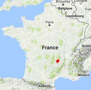
Starting in Langeac, the trail climbs towards Chilhac, a village perched atop basalt columns, before reaching Lavoûte-Chilhac, nestled in a perfect bend of the river. Venturing deeper into the Haute-Loire region, hikers discover the Château de Domeyrat, a stone sentinel overlooking the Doulon valley, then cross dense forests towards the majestic La Chaise-Dieu Abbey. The route then branches off towards Lake Malaguet and the village of Allègre, famous for its "gallows," the remains of a feudal castle overlooking ancient volcanoes. Here, nature becomes granite and mysterious, between broom-covered heaths and steep-sided valleys. The return to the Allier Valley passes through Saint-Arcons-d'Allier, a charming village with colorful facades, before concluding this spiritual and rugged loop at Pébrac Abbey.
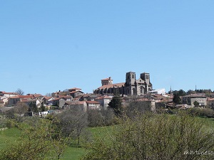
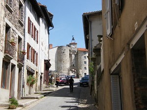
In Haute-Loire, the region's heritage is a blend of the austere habit of the monk's habit and the splendor of chainmail, symbolizing the two pillars of the Middle Ages: faith and chivalry. A land of pilgrimage, the Velay region saw thousands of monks and penitents pass through, clad in this coarse brown wool, a sign of humility and renunciation of the world. At the Abbey of La Chaise-Dieu and in the convents of Le Puy-en-Velay, the habit tells the story of a life of asceticism and prayer in the heart of volcanic solitude. At the same time, the department was dotted with impregnable fortresses, such as Polignac and La Roche-Lambert, where the clash of chainmail resounded. These suits of armor, made of interlocking links, protected local lords during the Crusades, the departure of which was often preached in the Marian city. This contrast between the monk and the knight shaped the region's identity, where fortified castles stand alongside the simplest Romanesque chapels. Metalworking and textiles, long before the rise of lace, were essential skills for equipping those who served God or the King.
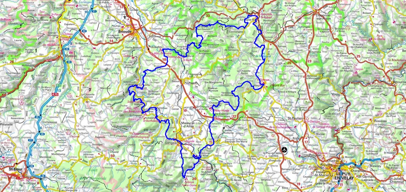
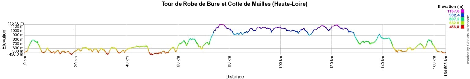
 Distance: 164km, Elevation maximum: 1164m, Elevation minimum: 460m, Elevation gain uphill: 4691m
IGN Maps: Paulhaguet - 2634E. Brioude - 2634O. Langeac - 2635E. Lavoute-Chilhac - 2635O. Allegre La Chaise-Dieu - 2734O.
Nearby paths:
![]() It is advisable to follow the beacons all along your hike and to bring the FFRandonnée topo-guide. You will also find information on MonGR.fr.
It is advisable to follow the beacons all along your hike and to bring the FFRandonnée topo-guide. You will also find information on MonGR.fr.
GR®, PR®, GRP® and the corresponding markings are trademarks of the French Federation of Hiking. They may not be reproduced without permission. The French Federation of Hiking, state-approved, includes organizations that maintain hiking routes. It publishes guides for these routes. With your donations, support the actions of the thousands of volunteer markers of the FFRandonnée.
GR-Infos.com is an editorial partner of MonGR.fr.
| Return |

Former holiday hotel with a garden along the Allier, L'Etoile Guest House is located in La Bastide-Puylaurent between Lozere, Ardeche, and the Cevennes in the mountains of Southern France. At the crossroads of GR®7, GR®70 Stevenson Path, GR®72, GR®700 Regordane Way, GR®470 Allier River springs and gorges, GRP® Cevenol, Ardechoise Mountains, Margeride. Numerous loop trails for hiking and one-day biking excursions. Ideal for a relaxing and hiking getaway.
Copyright©gr-infos.com (Authorization for private use only)
To help us maintain and improve GR-Infos.com, a contribution of 2€ is desired via Wero or bank transfer. Thank you!