
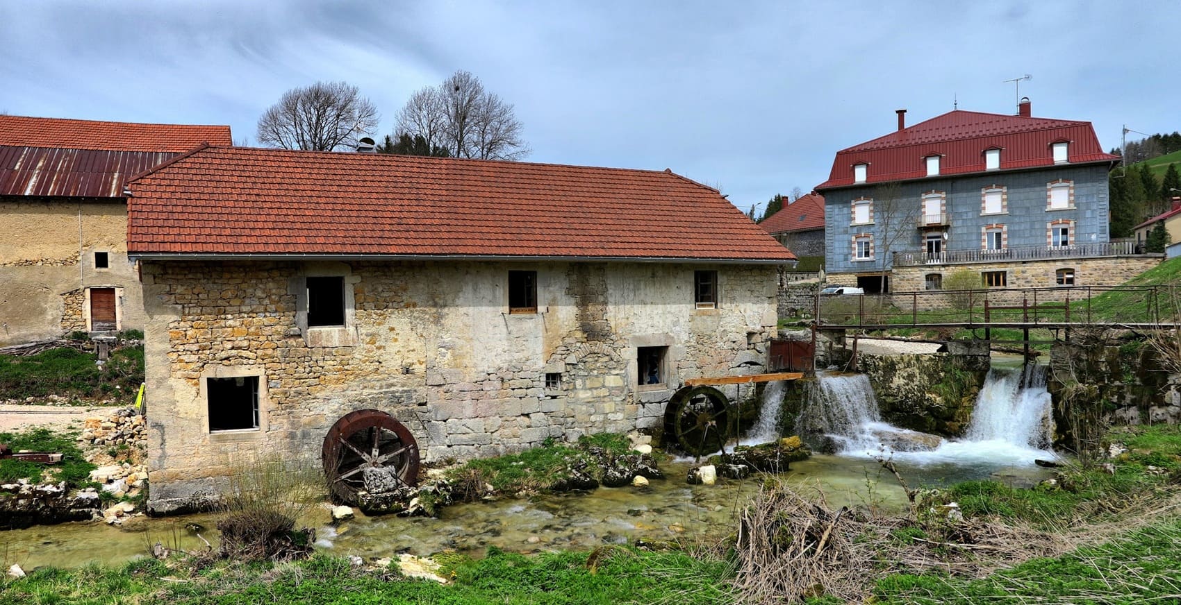
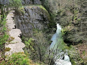
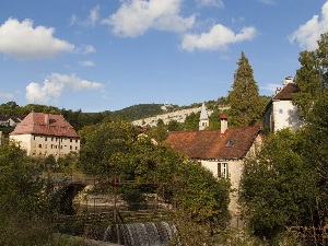
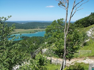
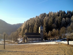
The GR559A, in the heart of the High Jura Mountains, follows the ancient communication routes between the "high towns" and medieval abbeys, crossing areas once essential for forestry and pre-industrial metallurgy. The built heritage, discreet yet robust, consists of high-altitude farms with shingle roofs and dry-stone walls delineating the alpine pastures. As for the landscapes, the route offers a fascinating geological spectacle: it crosses hidden valleys, dense spruce forests, and viewpoints overlooking the renowned Lakes Region. Nature reigns supreme here, sheltering fragile biodiversity that includes the Western Capercaillie and the Eurasian Lynx in the most pristine areas. Upon reaching La Clouterie, the proximity of the Hérisson Waterfalls becomes apparent, marking the transition to a more rugged landscape where erosion has created veritable natural cathedrals.
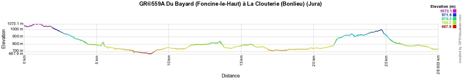
 Distance: 28.58km, Elevation maximum: 1073m, Elevation minimum: 668m, Elevation gain uphill: 703m
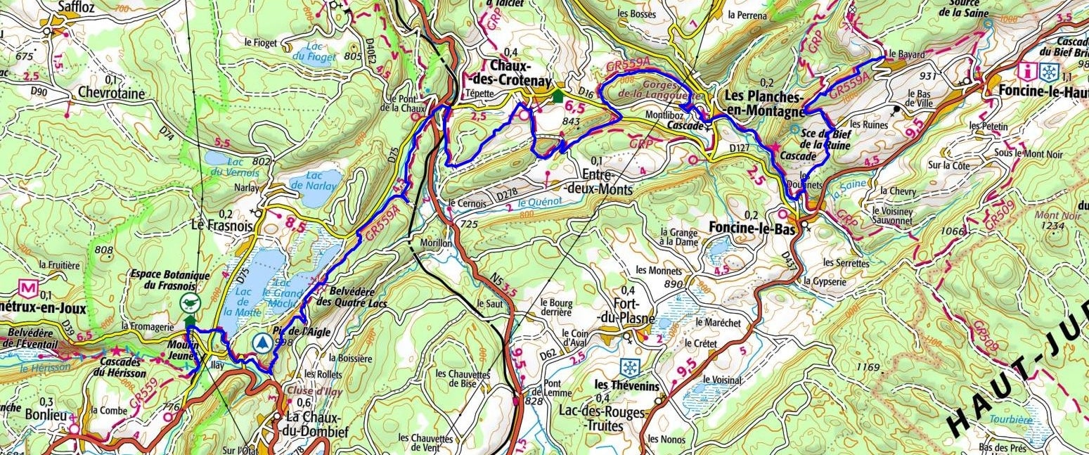
IGN Maps: 3326ET - CHAMPAGNOLE / LAC DE CHALAIN / PIC DE L'AIGLE.

Nearby paths:
![]() It is advisable to follow the beacons throughout your itinerary and to take the Fédération Française de la Randonnée Pédestre topo-guide with you. You will also find information on MonGR.fr.
It is advisable to follow the beacons throughout your itinerary and to take the Fédération Française de la Randonnée Pédestre topo-guide with you. You will also find information on MonGR.fr.
GR®, PR®, GRP®, and the corresponding signs of markings (white / red, yellow and yellow / red) are trademarks of the French Federation of Hiking. They may not be reproduced without permission. The French Federation of Hiking, state-approved, includes organizations that create and maintain hiking routes on GR®, PR®, and GRP®. It publishes guides for these topo hiking routes. With your donations, you support the actions of the thousands of FFRandonnée volunteer markers.
GR-Infos.com is an editorial partner of MonGR.fr.
| Return |

Former holiday hotel with a garden along the Allier, L'Etoile Guest House is located in La Bastide-Puylaurent between Lozere, Ardeche, and the Cevennes in the mountains of Southern France. At the crossroads of GR®7, GR®70 Stevenson Path, GR®72, GR®700 Regordane Way, GR®470 Allier River springs and gorges, GRP® Cevenol, Ardechoise Mountains, Margeride. Numerous loop trails for hiking and one-day biking excursions. Ideal for a relaxing and hiking getaway.
Copyright©gr-infos.com (Authorization for private use only)
To help us maintain and improve GR-Infos.com, a contribution of 2€ is desired via Wero or bank transfer. Thank you!