|
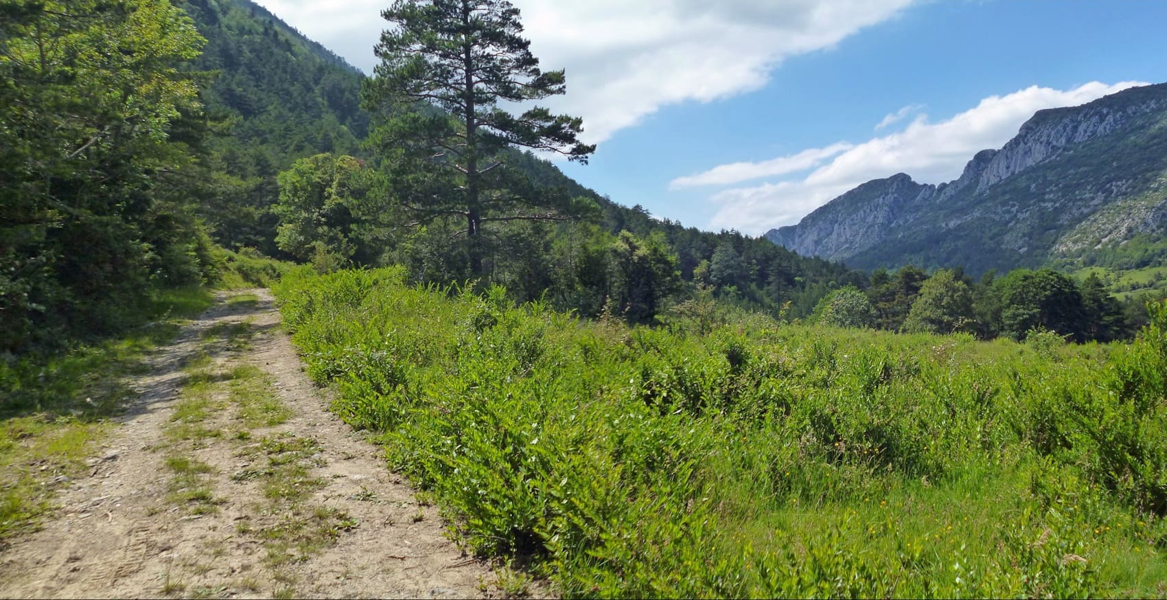
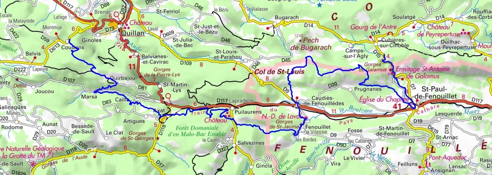
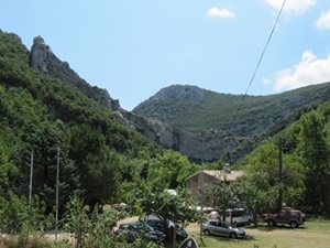
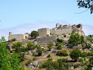
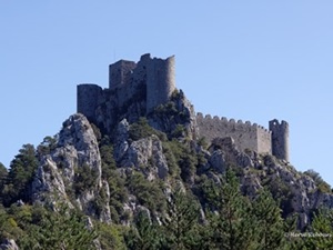
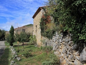
GR®367A Cathar Trail Variant
From Moulin de Cubieres to Coudons (Aude)
|

|
Google Maps - Google Earth
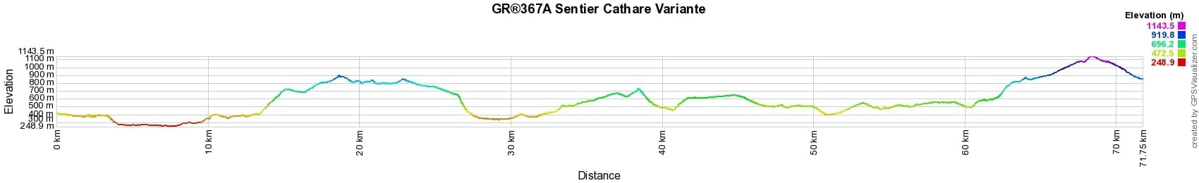

 Distance: 72km, Altitude maximum: 1142m, Altitude minimum: 249m, Dénivelé cumulé montée: 2587m
Cartes IGN: 2248ET - AXAT QUÉRIGUT. 2347OT - QUILLAN ALET-LES-BAINS. 2348ET - PRADES SAINT-PAUL-DE-FENOUILLET. 2447OT - TUCHAN MASSIF DES CORBIÈRES.
.
 Nearby paths:
GR®367 Cathar trail
GR®7 From Vosges to Pyrenees
GR®36 From Channel to Pyrenees
GR®107 Bonshommes way
Around Capcir (Eastern-Pyrenees)
 It is advisable to follow the beacons all along your hike and to bring you the FFRandonnee topo-guide. You
will also find information on MonGR.fr.
It is advisable to follow the beacons all along your hike and to bring you the FFRandonnee topo-guide. You
will also find information on MonGR.fr.
GR®, PR®, GRP®, and the corresponding signs of markings (white / red, yellow and yellow / red) are trademarks of the French
Federation of Hiking. They may not be reproduced without permission. The French Federation of Hiking, state-approved, includes organizations that create and maintain hiking routes on GR®, PR® and
GRP®. It publishes guides these topo hiking routes. With your donations, support the actions of the thousands of volunteer markers of the FFRandonnee.
GR-Infos.com is an editorial partner of MonGR.fr.

Former holiday hotel with a garden along the Allier, L'Etoile Guest House is located in La Bastide-Puylaurent between Lozere, Ardeche, and the Cevennes in the mountains of Southern France. At the crossroads of GR®7, GR®70 Stevenson Path, GR®72, GR®700 Regordane Way, GR®470 Allier River springs and gorges, GRP® Cevenol, Ardechoise Mountains, Margeride. Numerous loop trails for hiking and one-day biking excursions. Ideal for a relaxing and hiking getaway.
Copyright©gr-infos.com (Authorization for private use only)